Perrine Bridge
Perrine Bridge
Twin Falls, Idaho, United States
486 feet high / 148 meters high
993 foot span / 303 meter span
1976
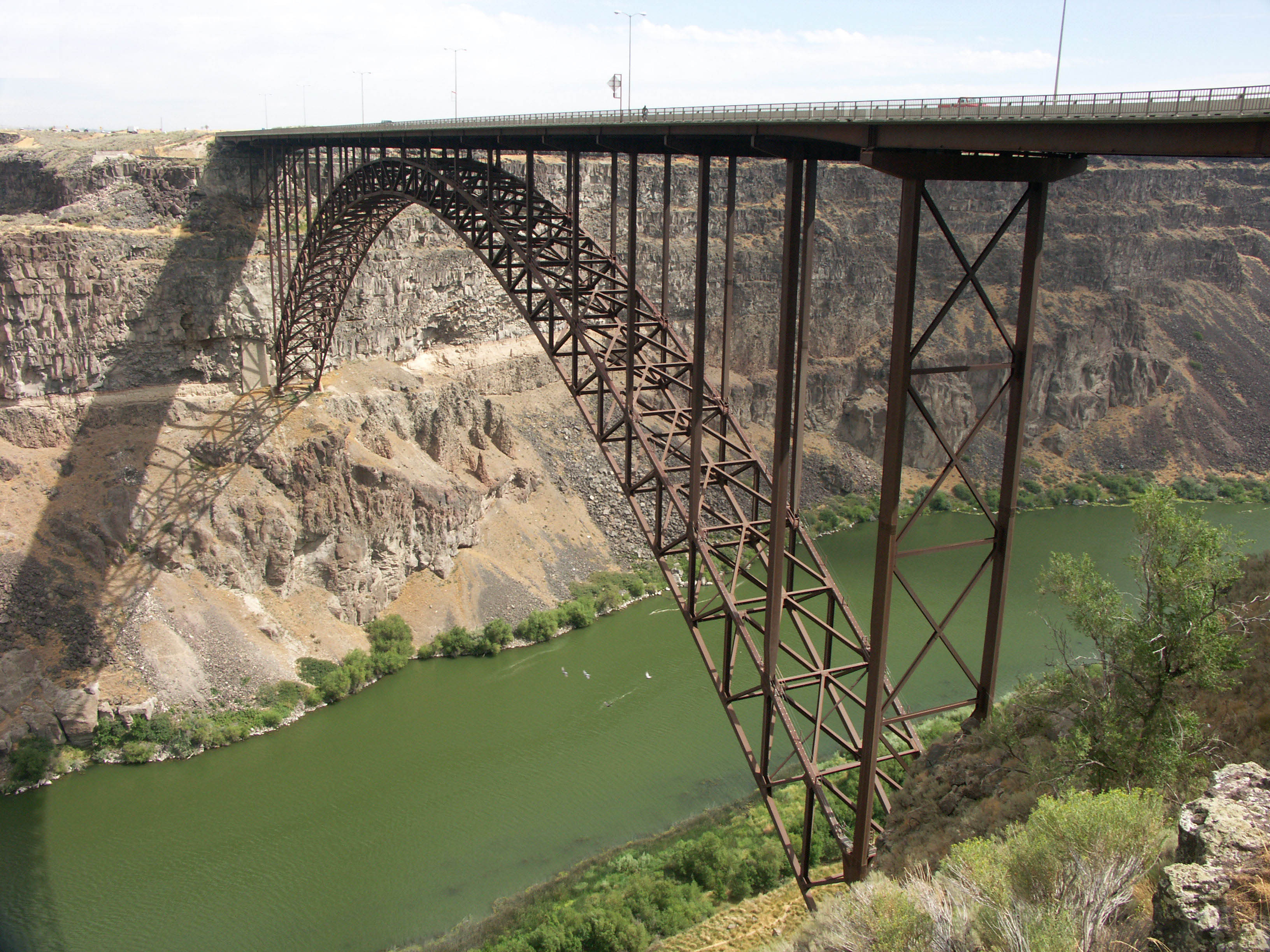
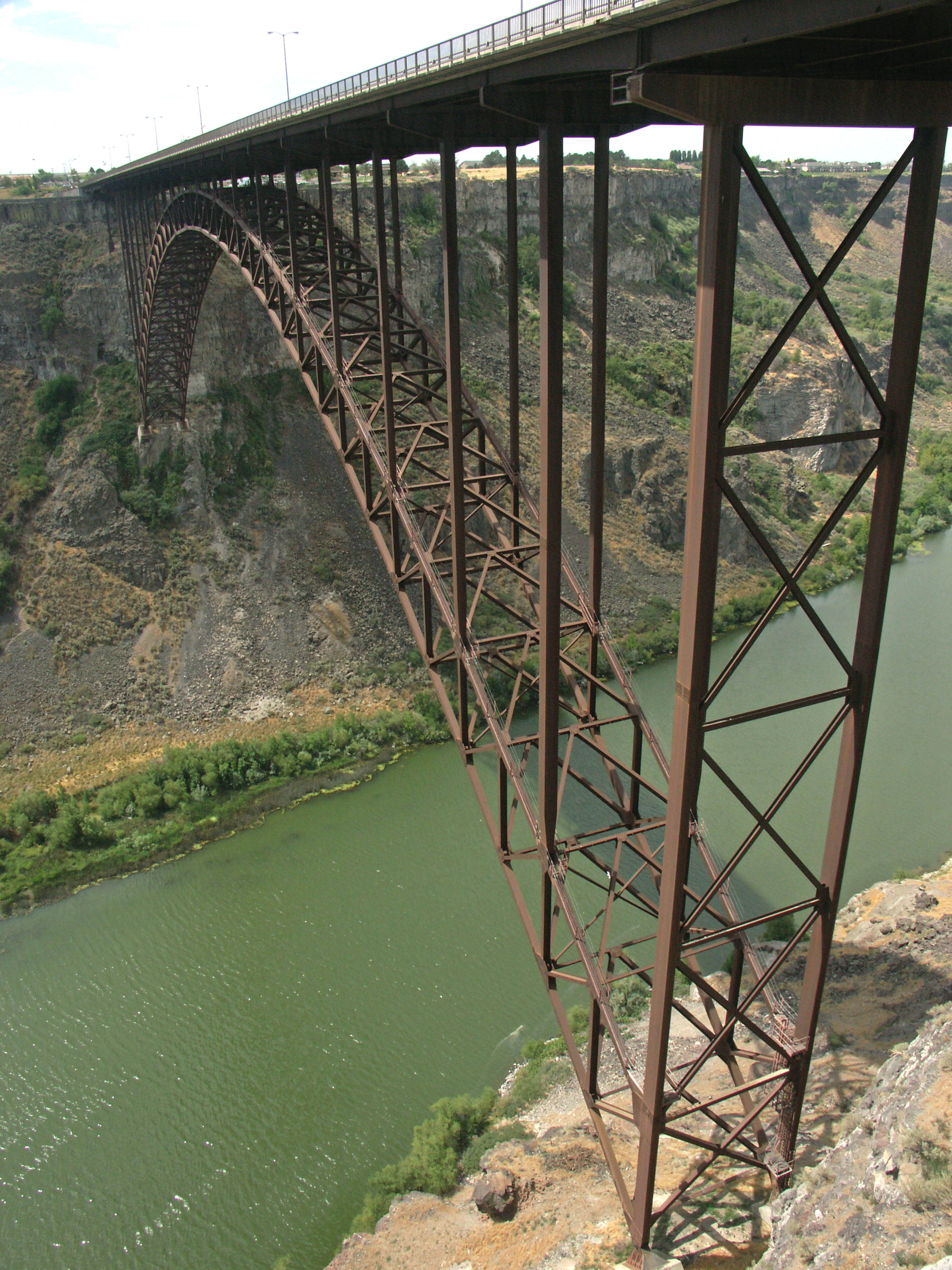
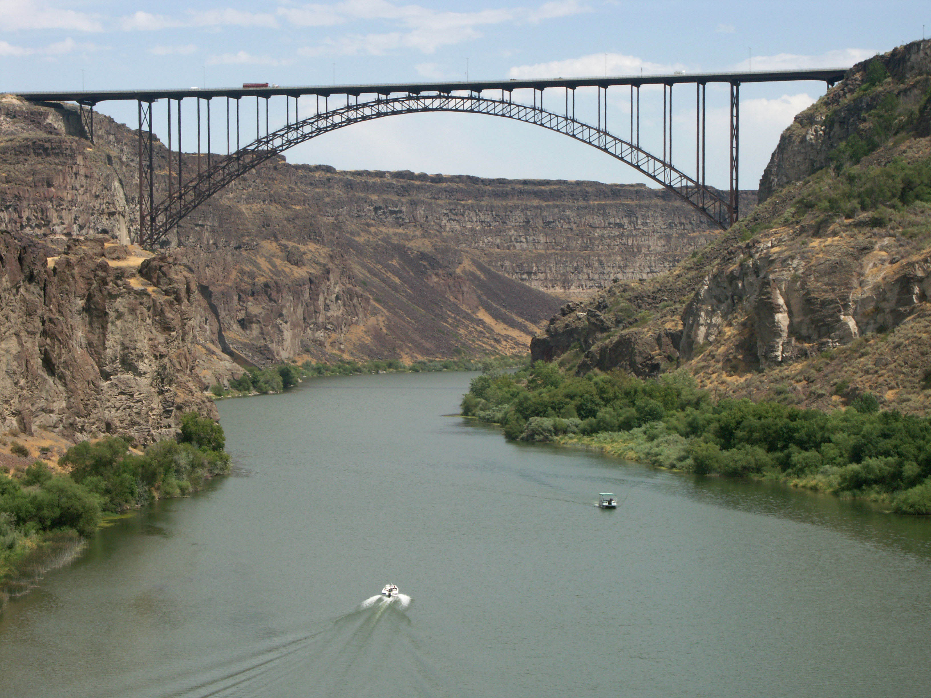
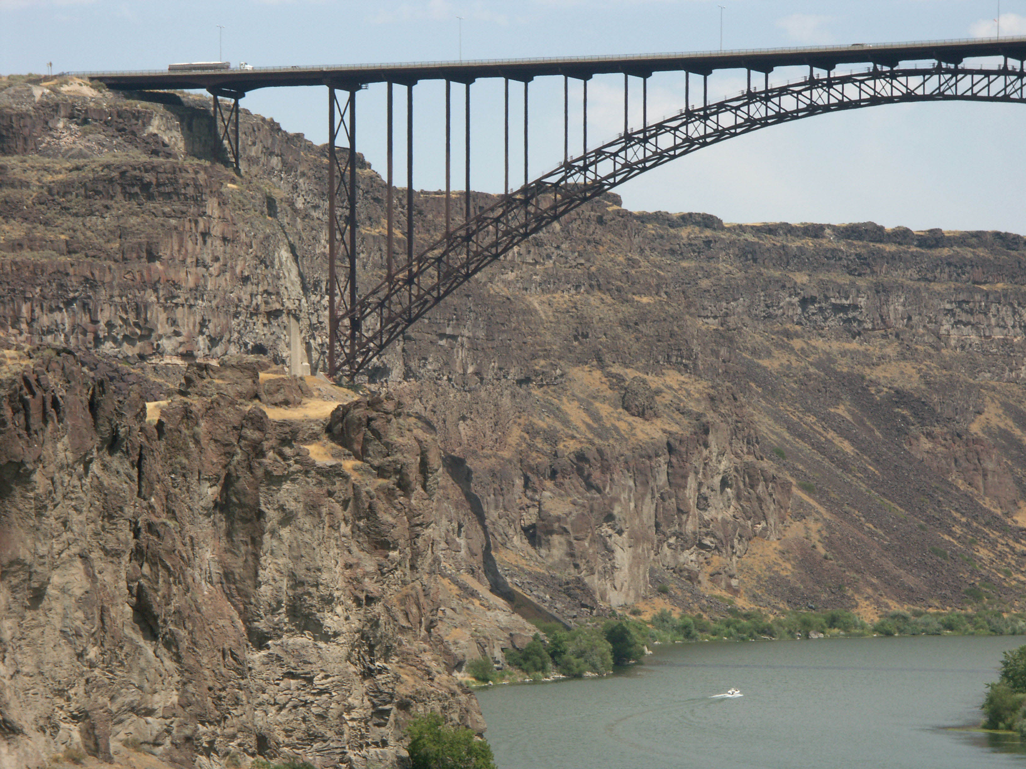
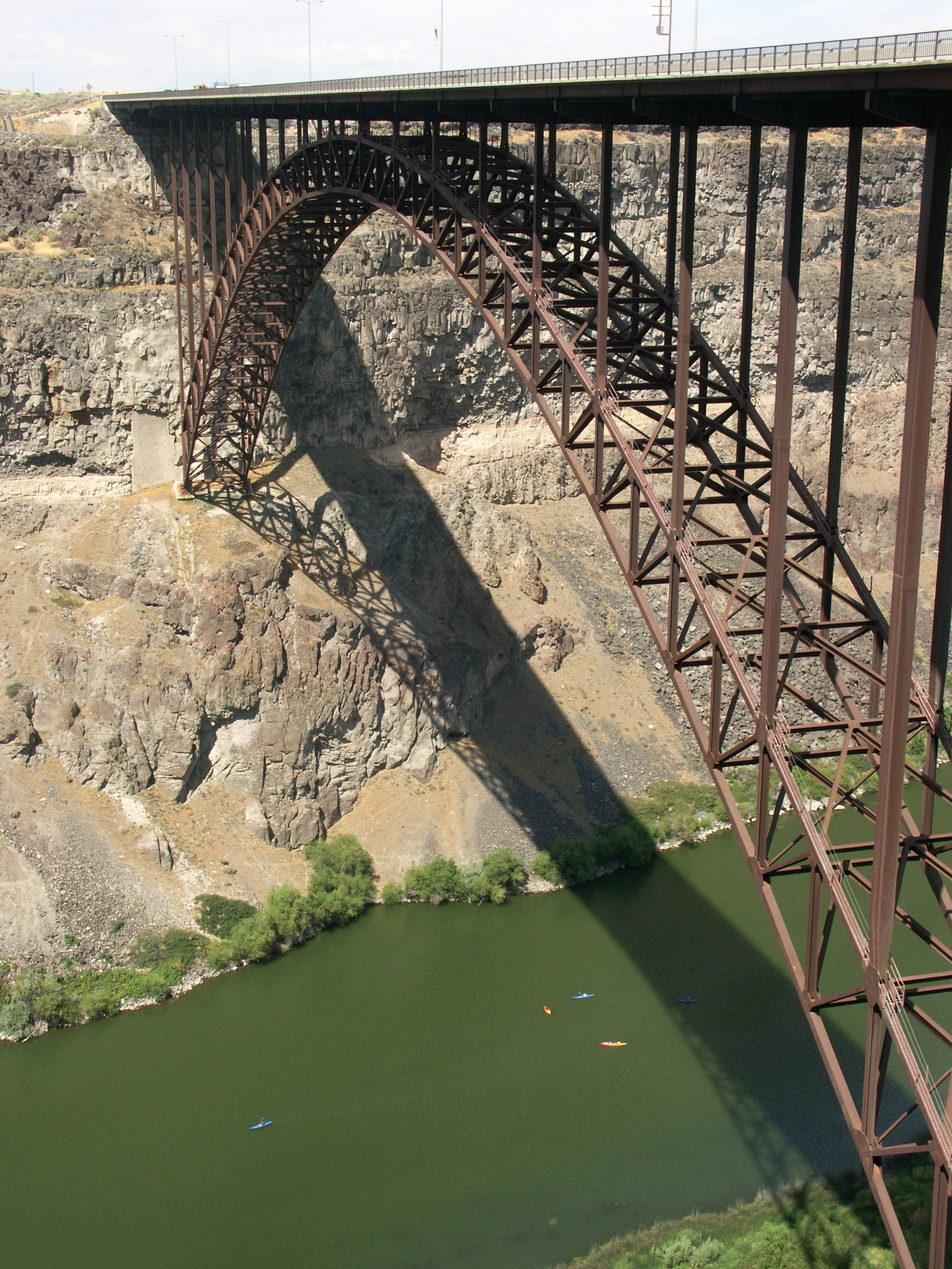
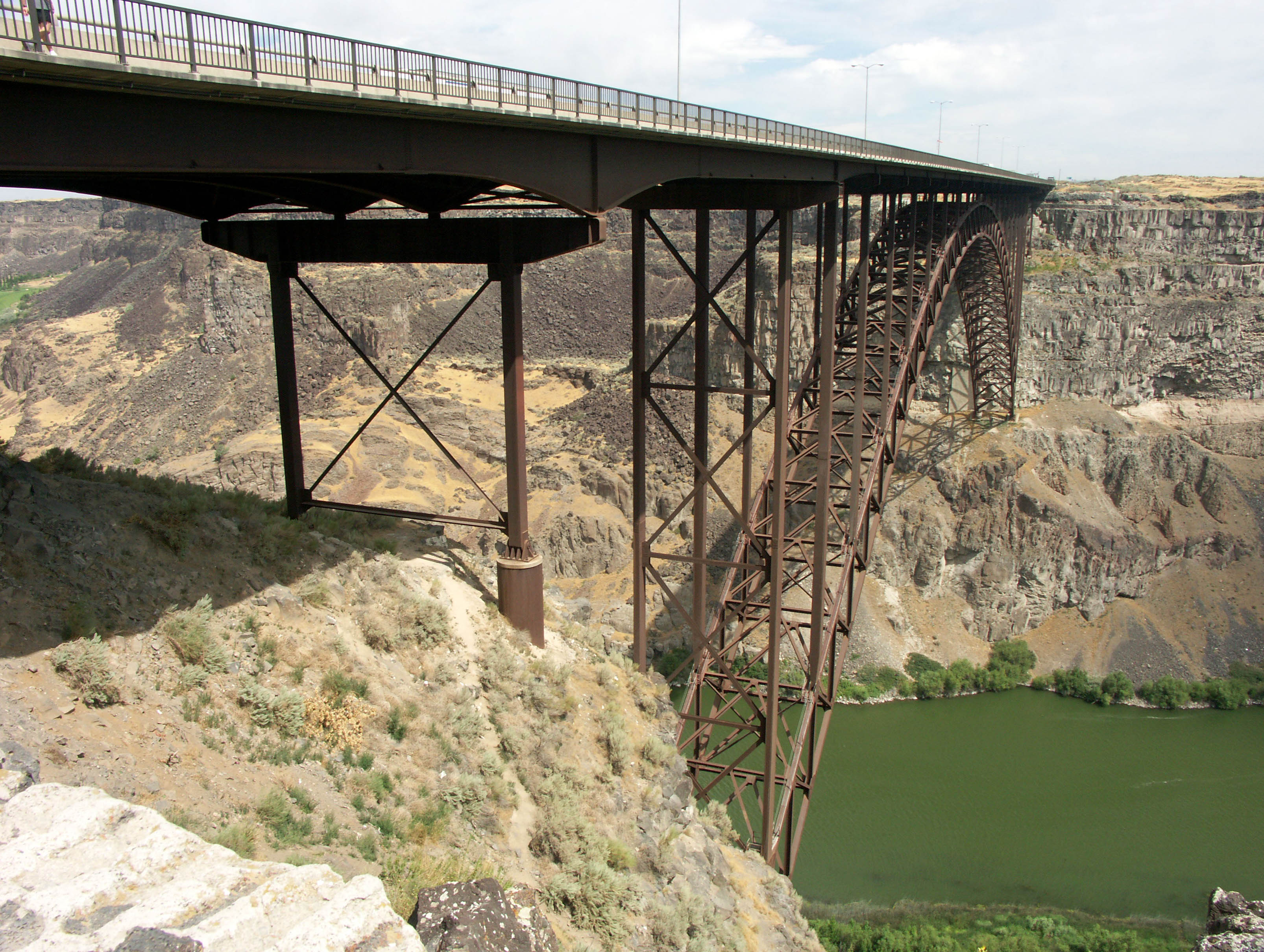
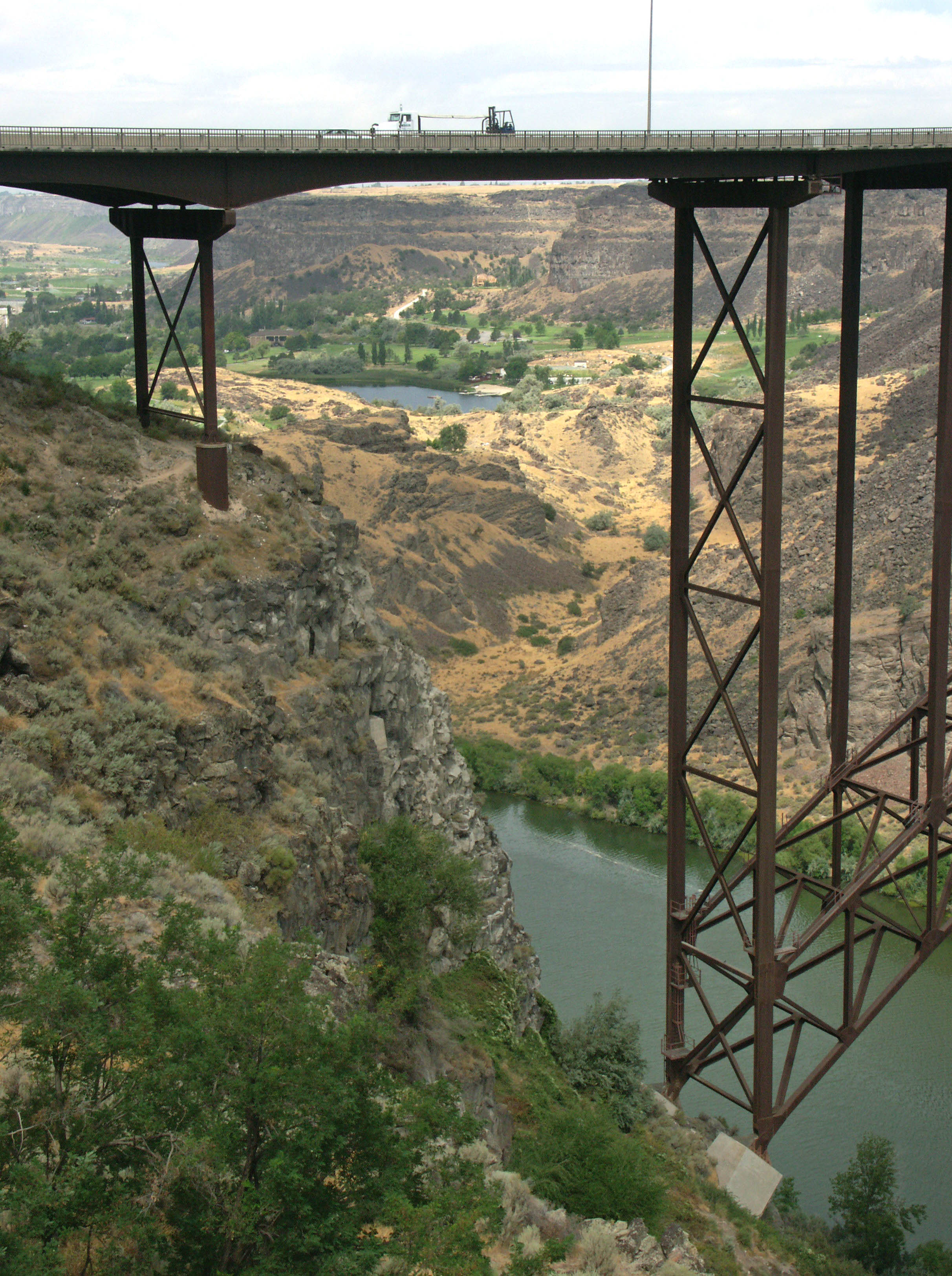
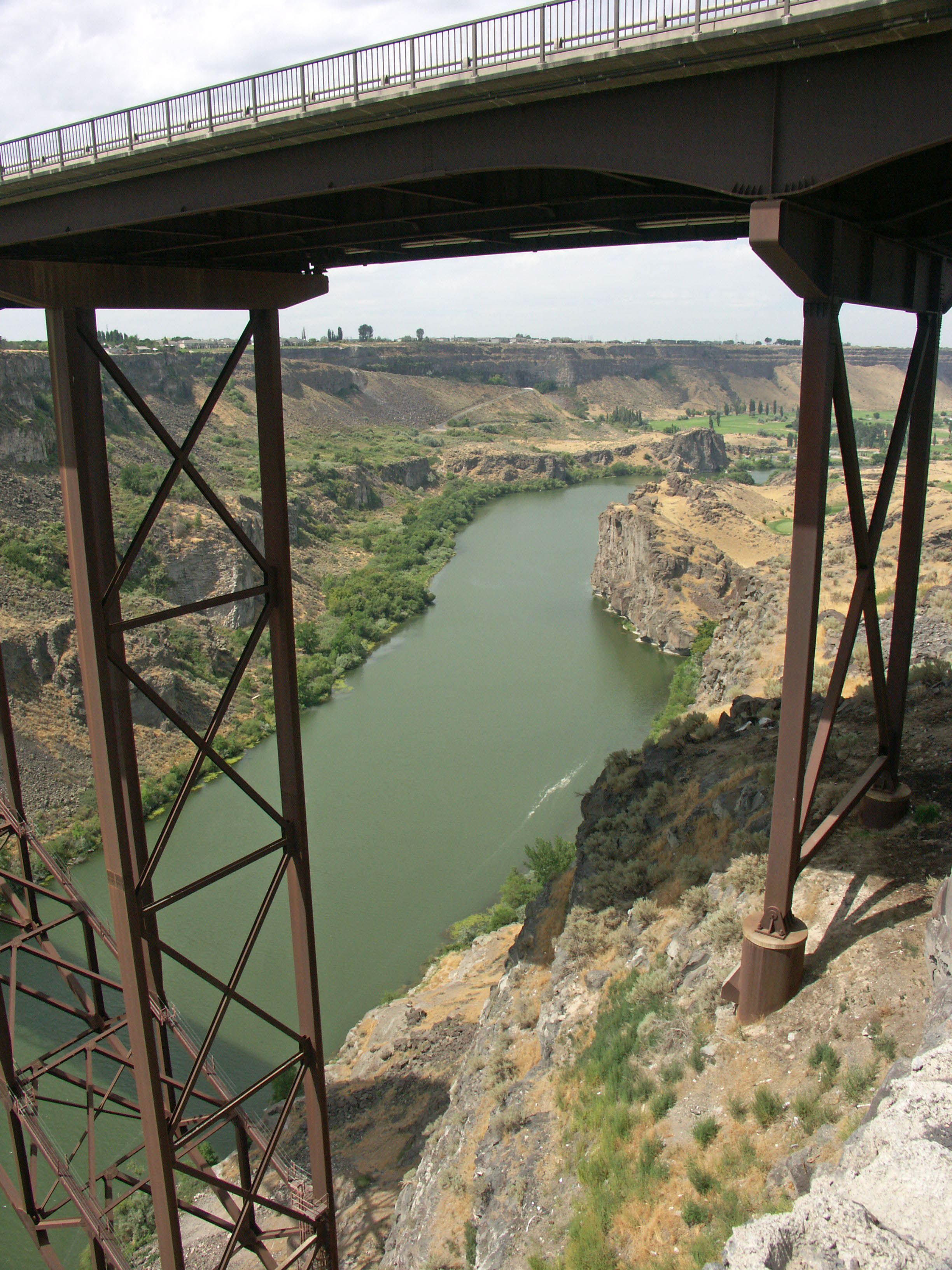
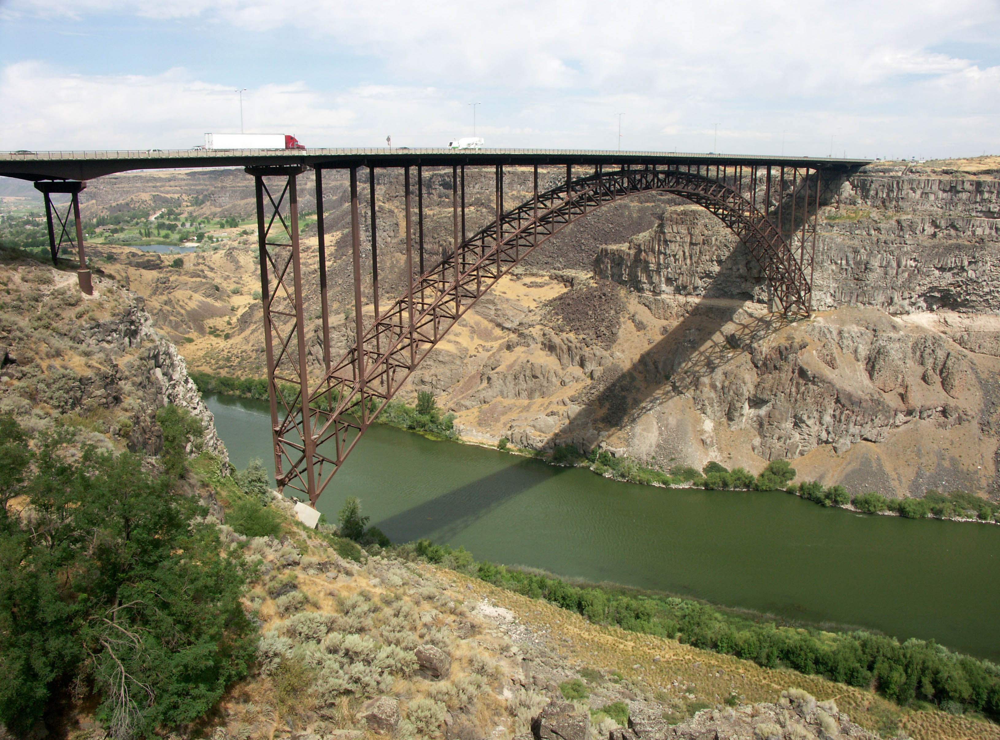
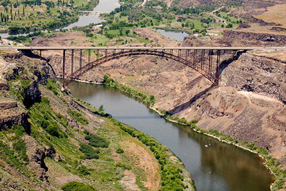
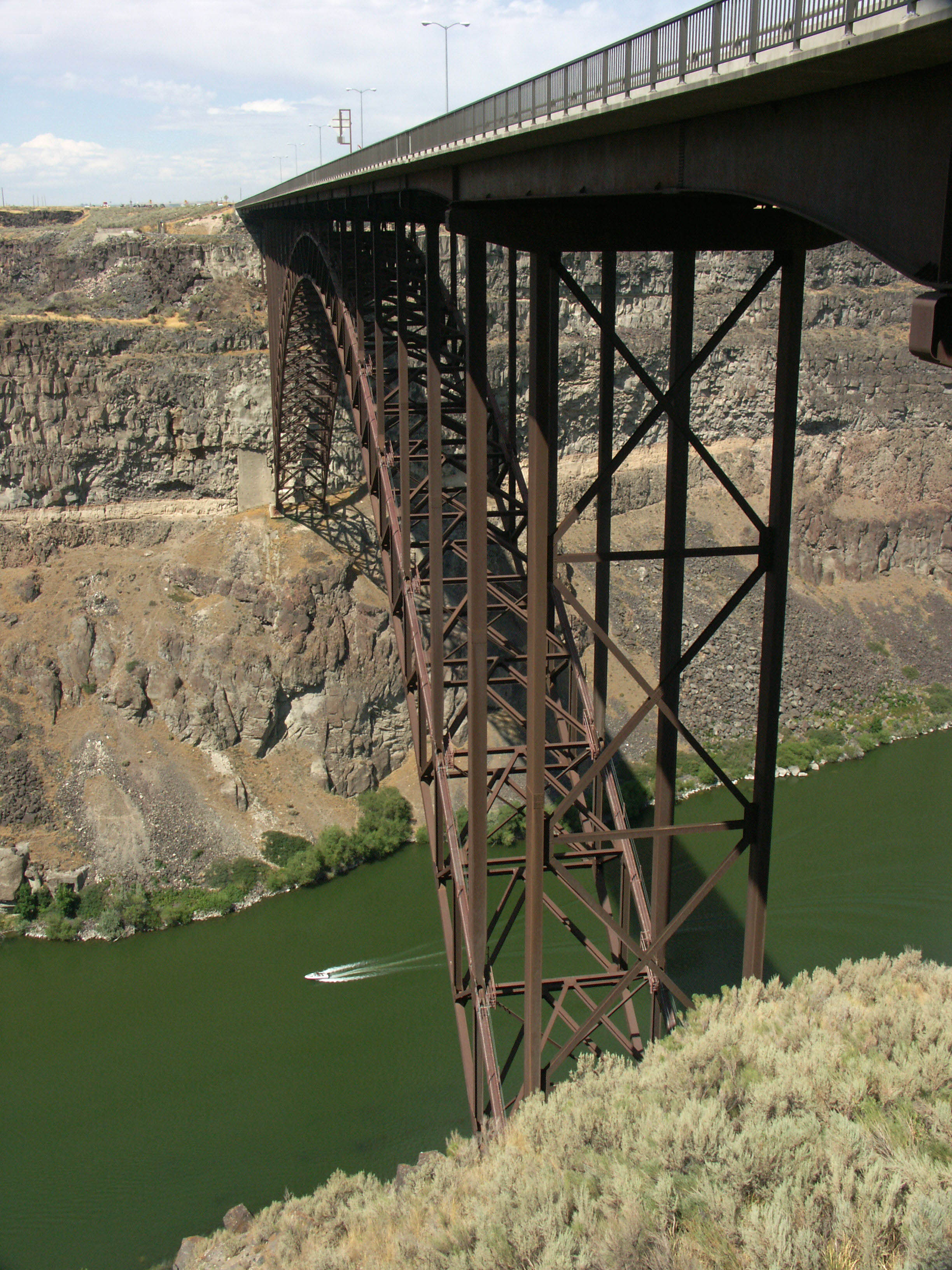
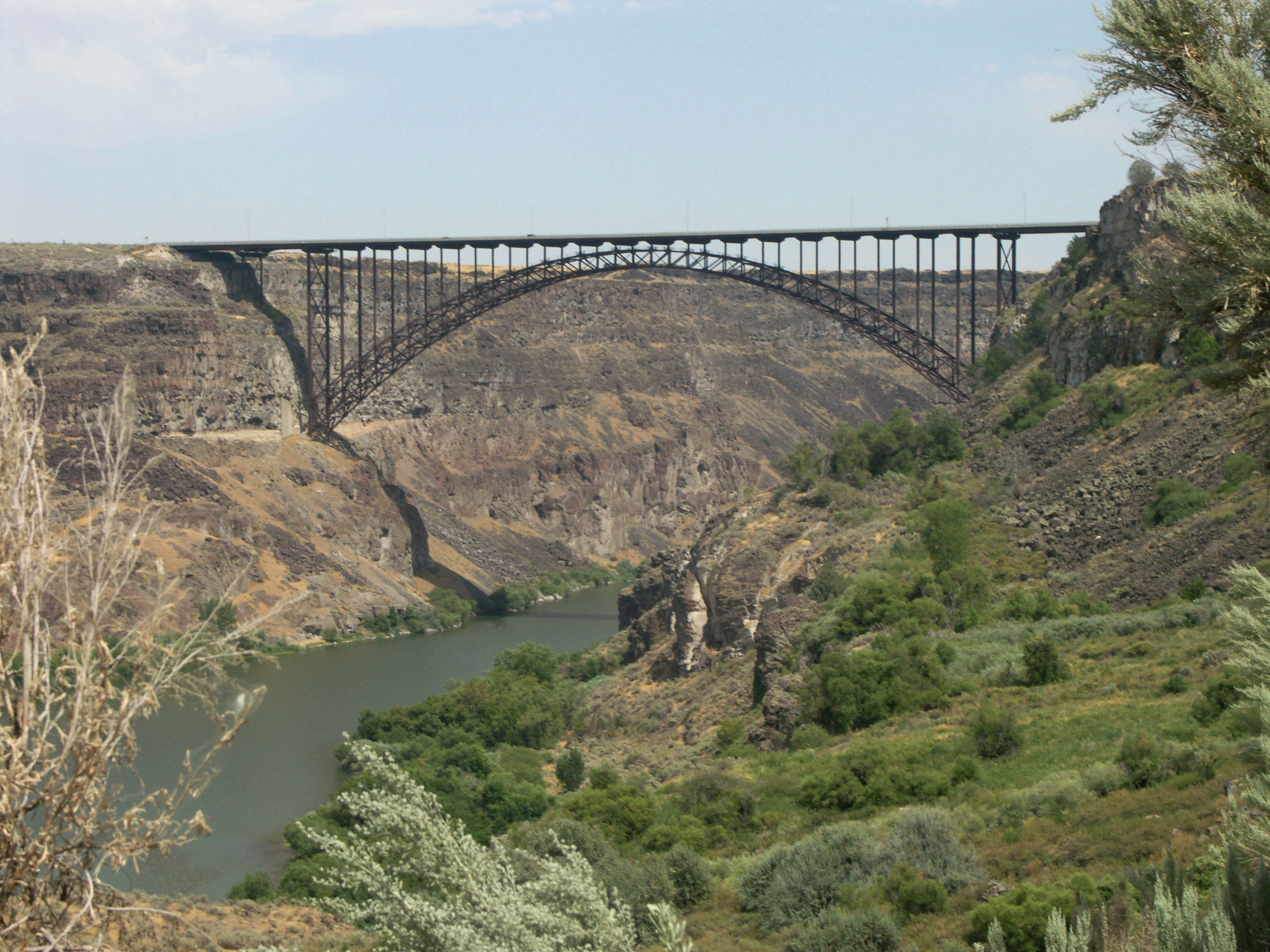
The most famous bridge in the U.S. state of Idaho, the I. B. Perrine crosses 486 feet (148 mtrs) above the deep canyon of the Snake River at Twin Falls. Spanning 993 feet (303 mtrs) between springings, it is the 4th highest arch bridge in North America after the Mike O’Callaghan-Pat Tillman bridge that bypasses the Hoover Dam near Las Vegas, Nevada, the New River Gorge bridge in West Virginia and the Glen Canyon Dam bridge near Page, Arizona. Among all bridges in the world Perrine is no longer even among the top 500 highest mostly due to hundreds of Chinese spans built since the year 2000.
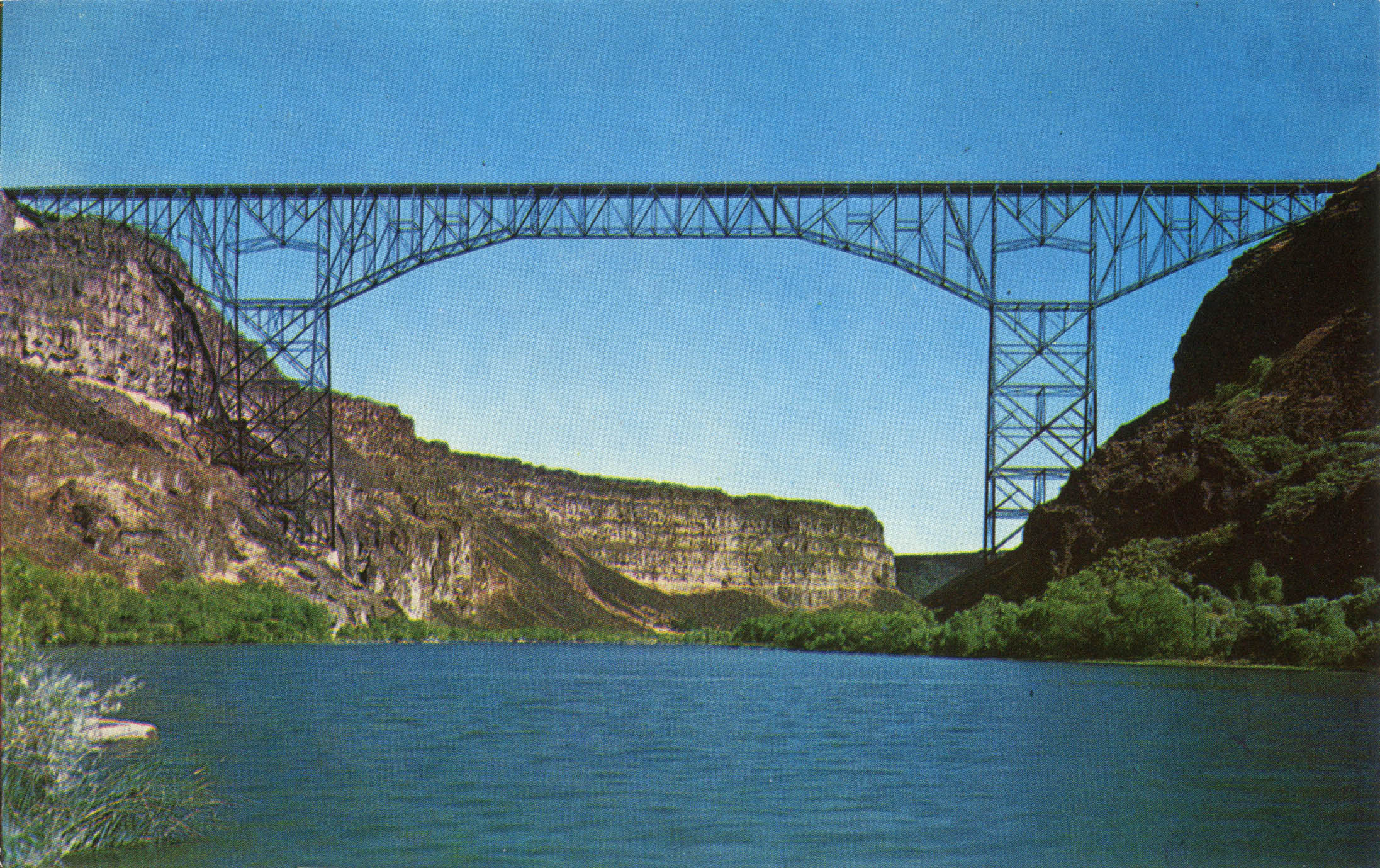
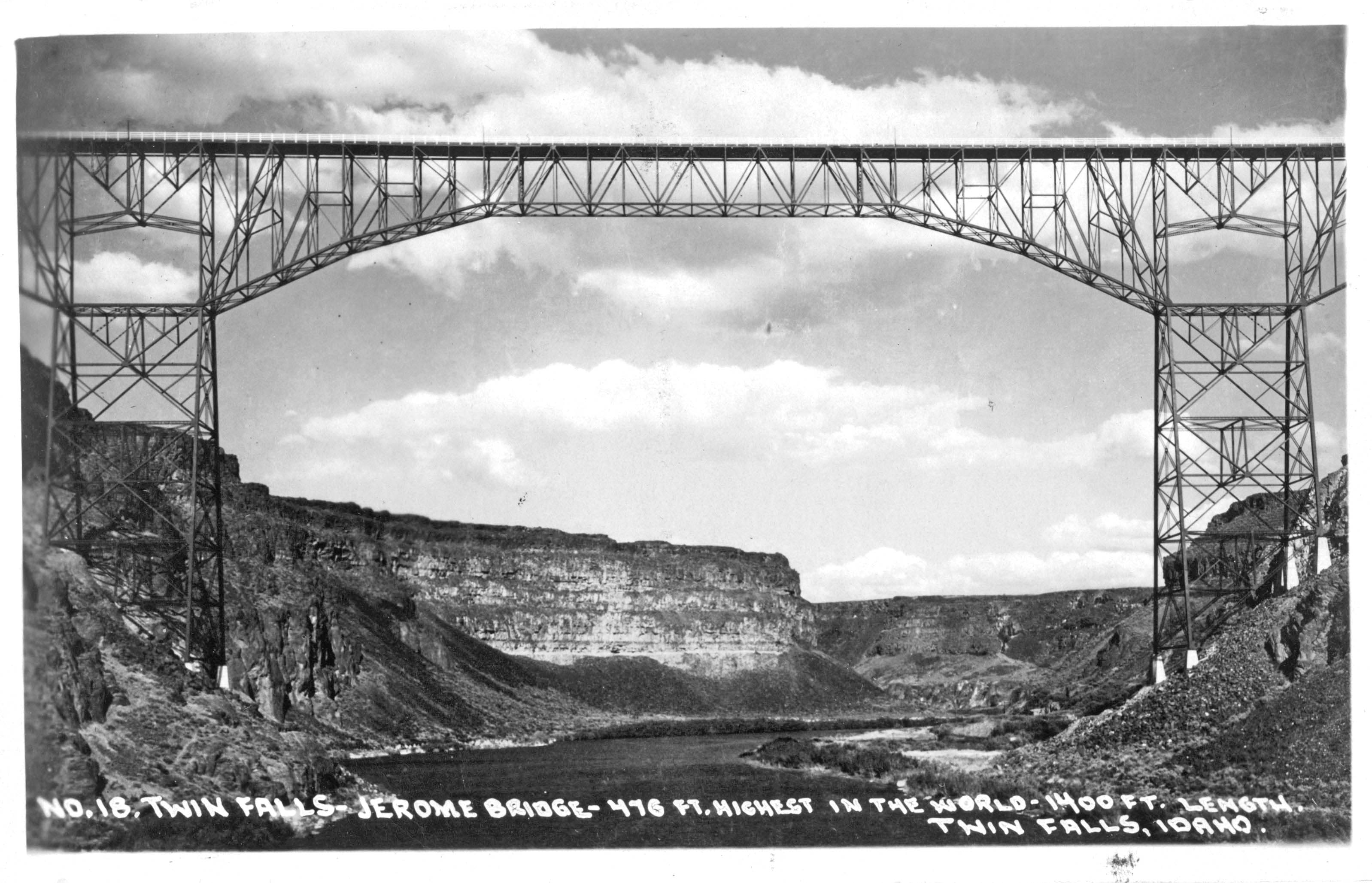
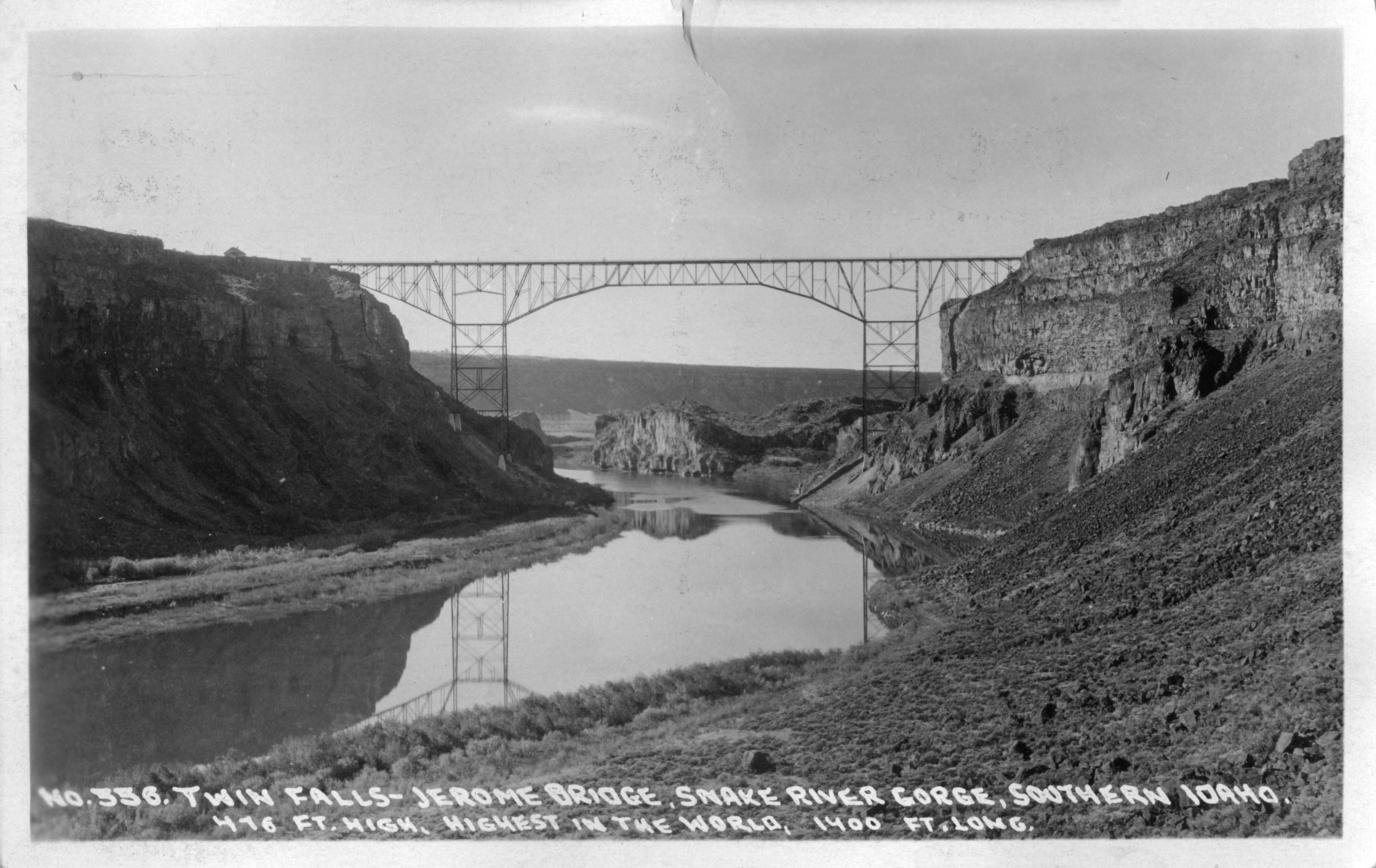
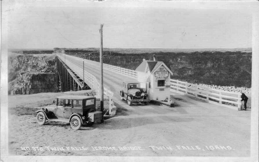
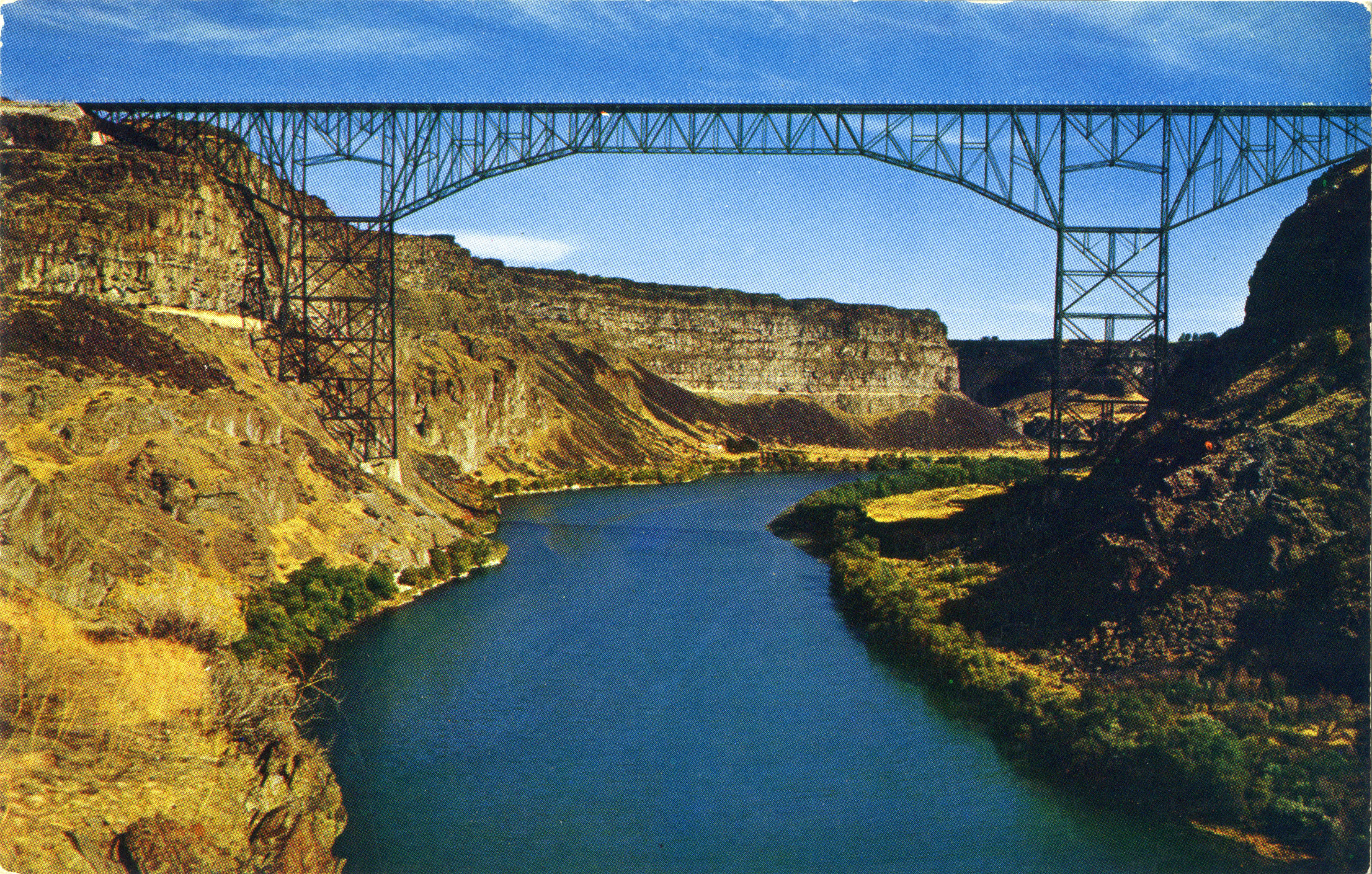
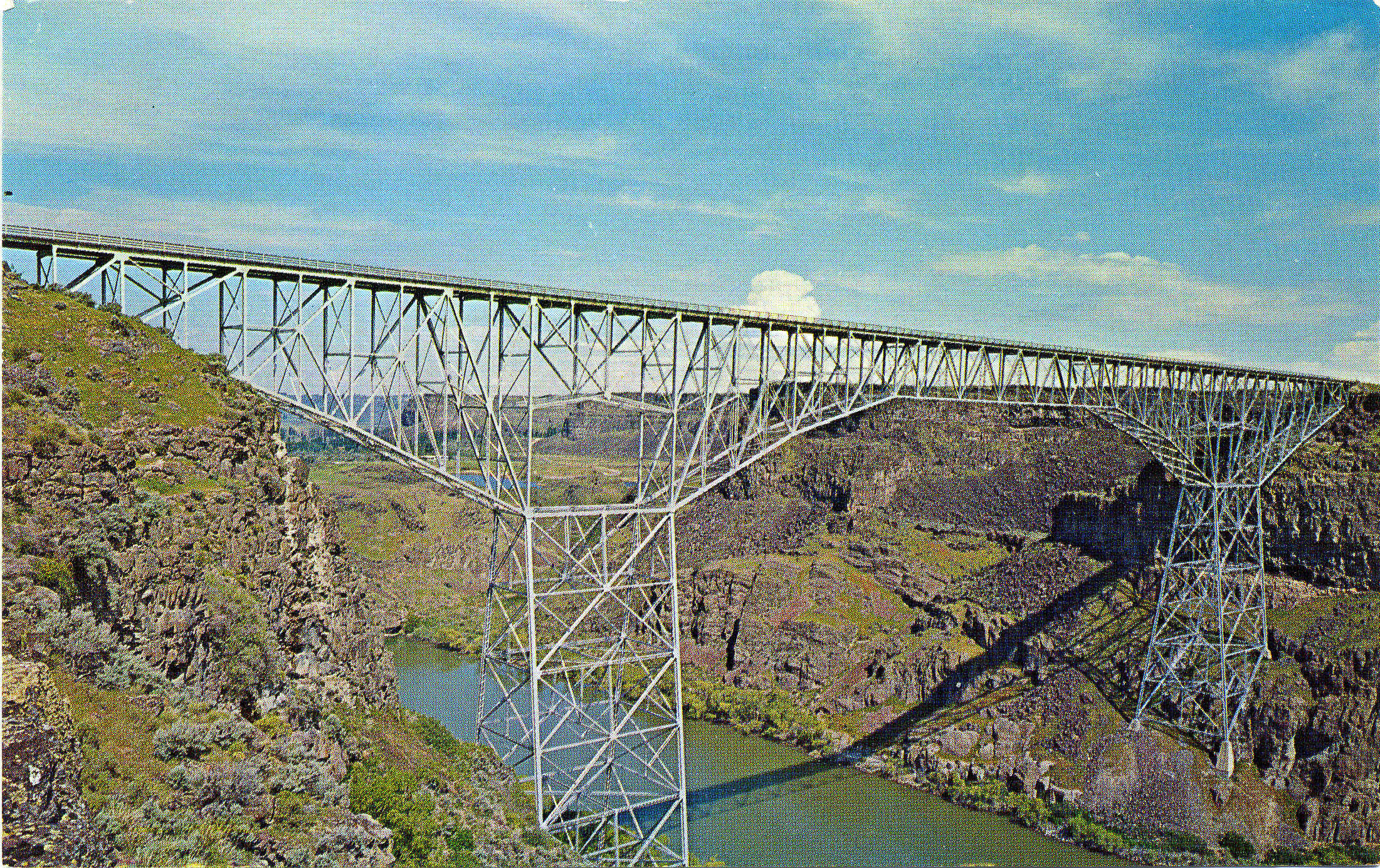
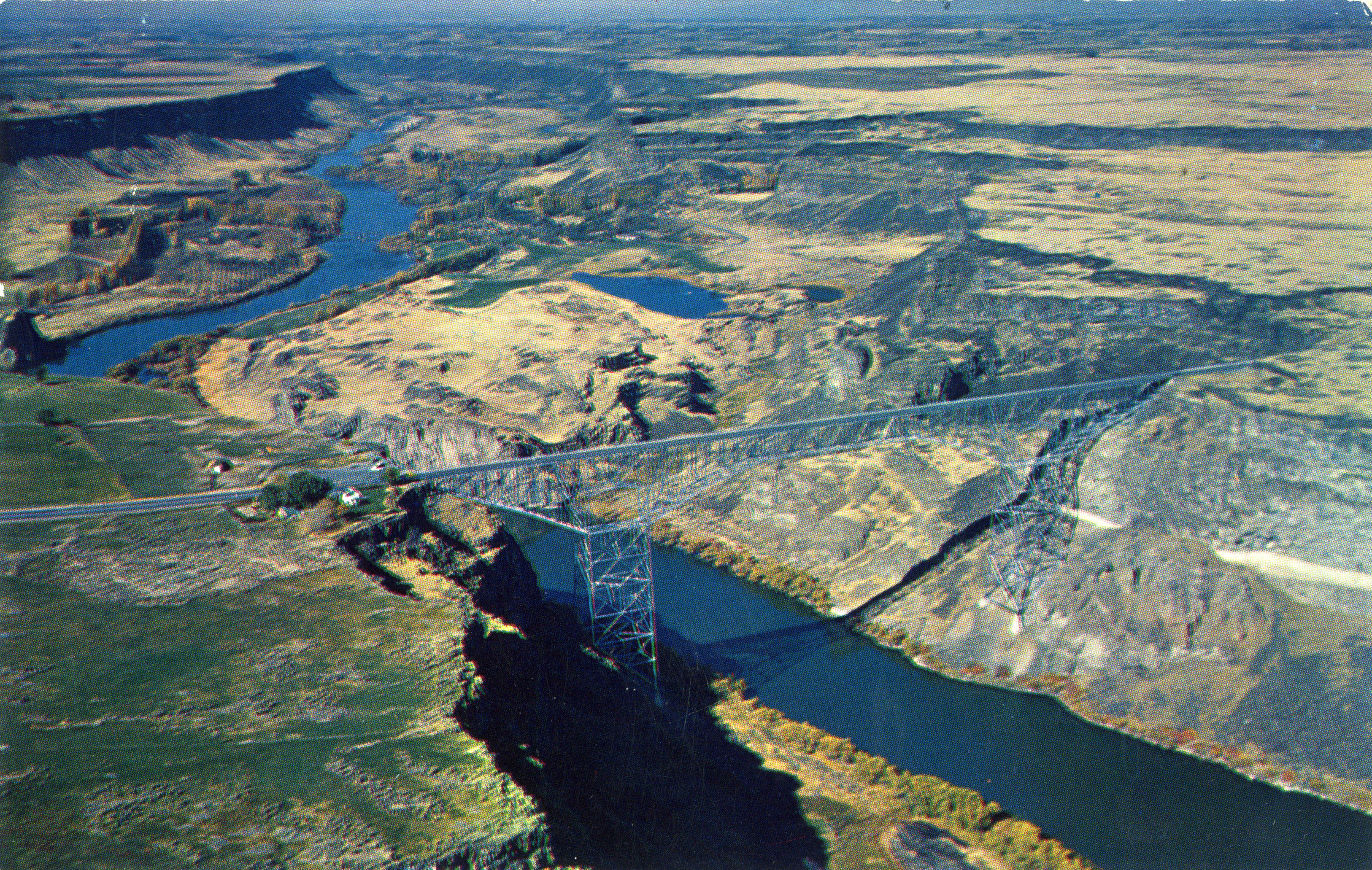
Opened in 1976, the distinctive brown structure was a replacement for the 476 foot (145 mtr) high Twin Falls-Jerome bridge, a colossal 2-lane cantilever that was the third highest bridge in the world upon its opening in 1927. Only the 1839-built Charles Albert suspension bridge at Allonzier-la-Caille in the Rhône-Alpes region of France and the Sidi M’Cid bridge in Constantine, Algeria were higher.
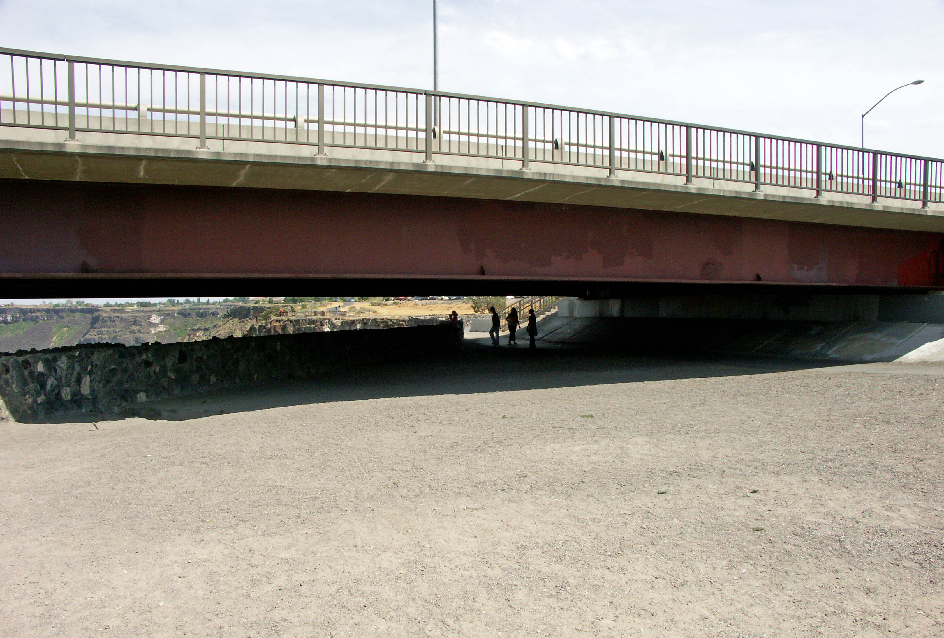
Referred to by most as simply the Perrine bridge, the current 4-lane structure is a popular tourist attraction and has two 7 foot (2.1 mtr) wide sidewalks on either side of the bridge as well as walking paths under the approach spans. There is also a park and visitors center on the southwest end of the bridge.
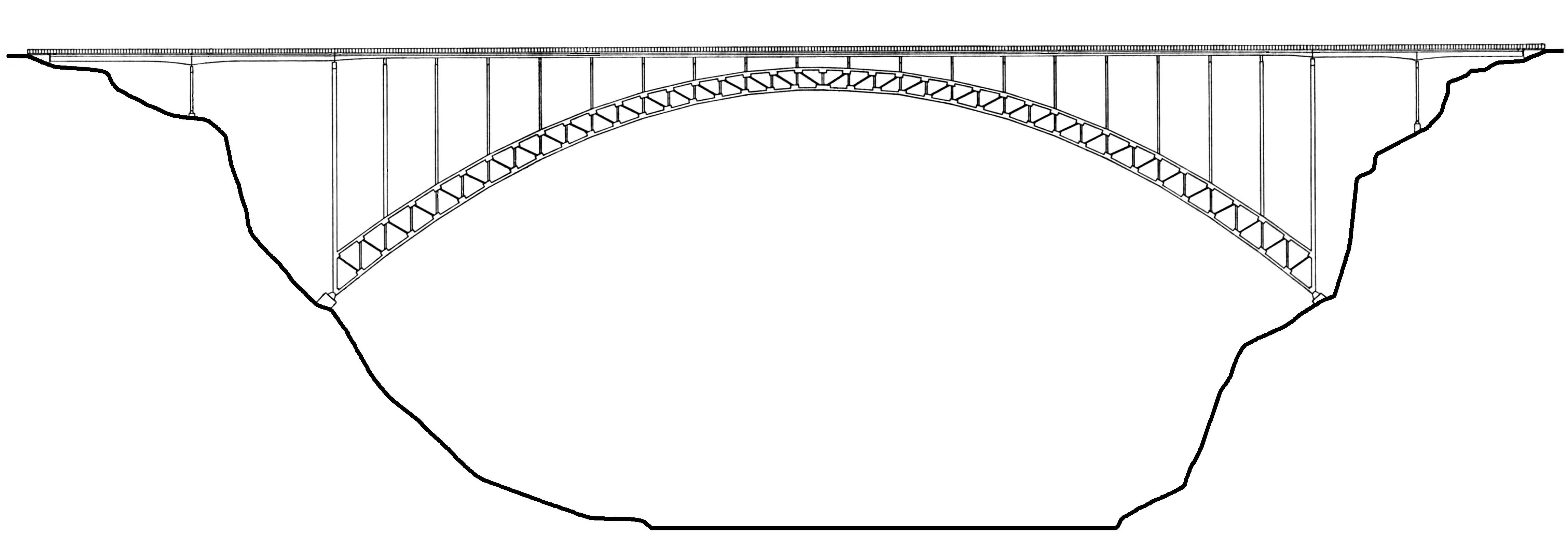
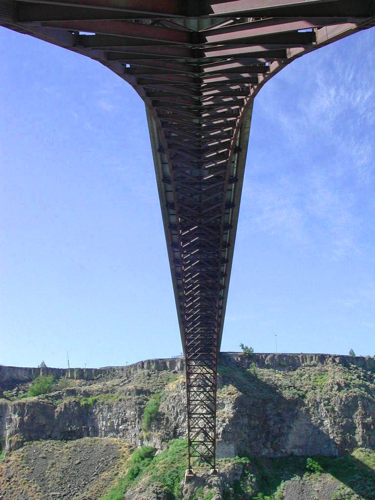
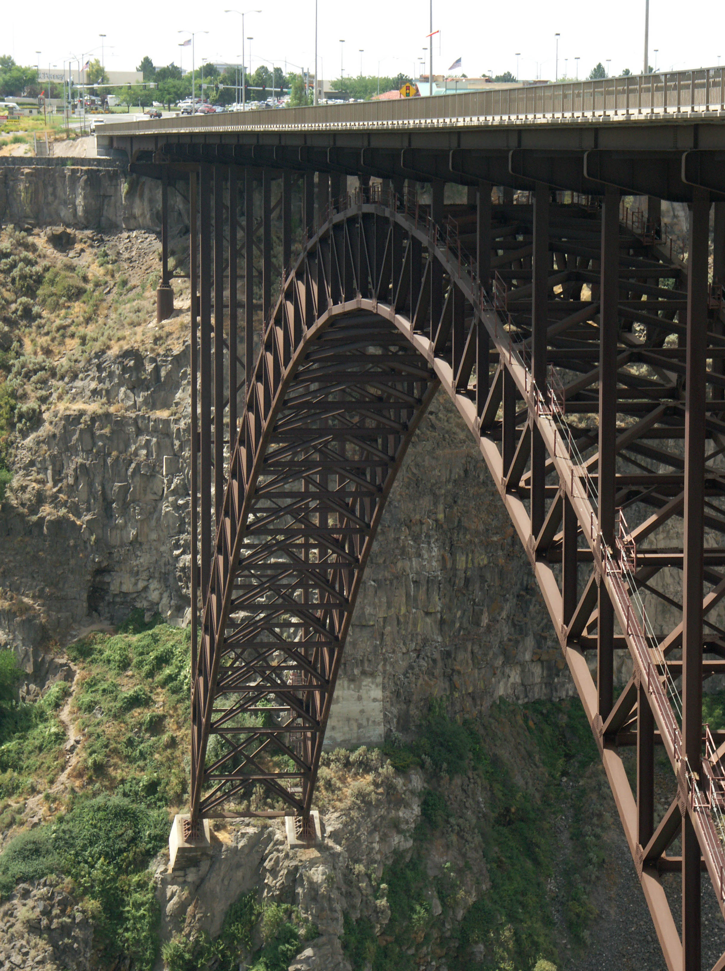
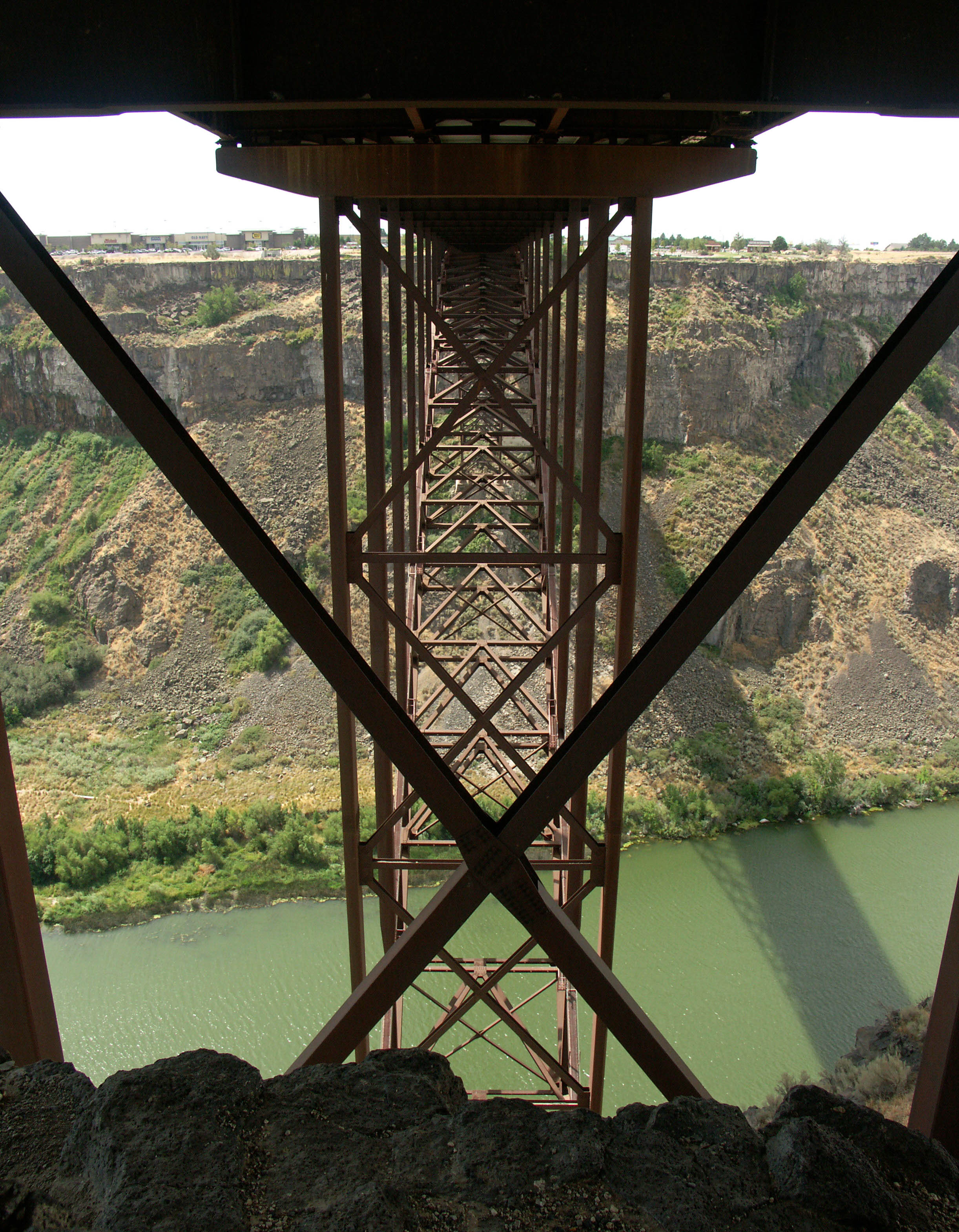
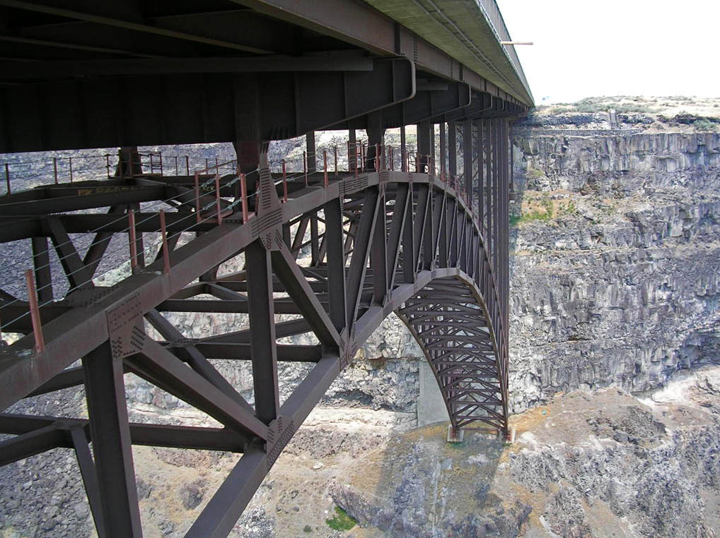
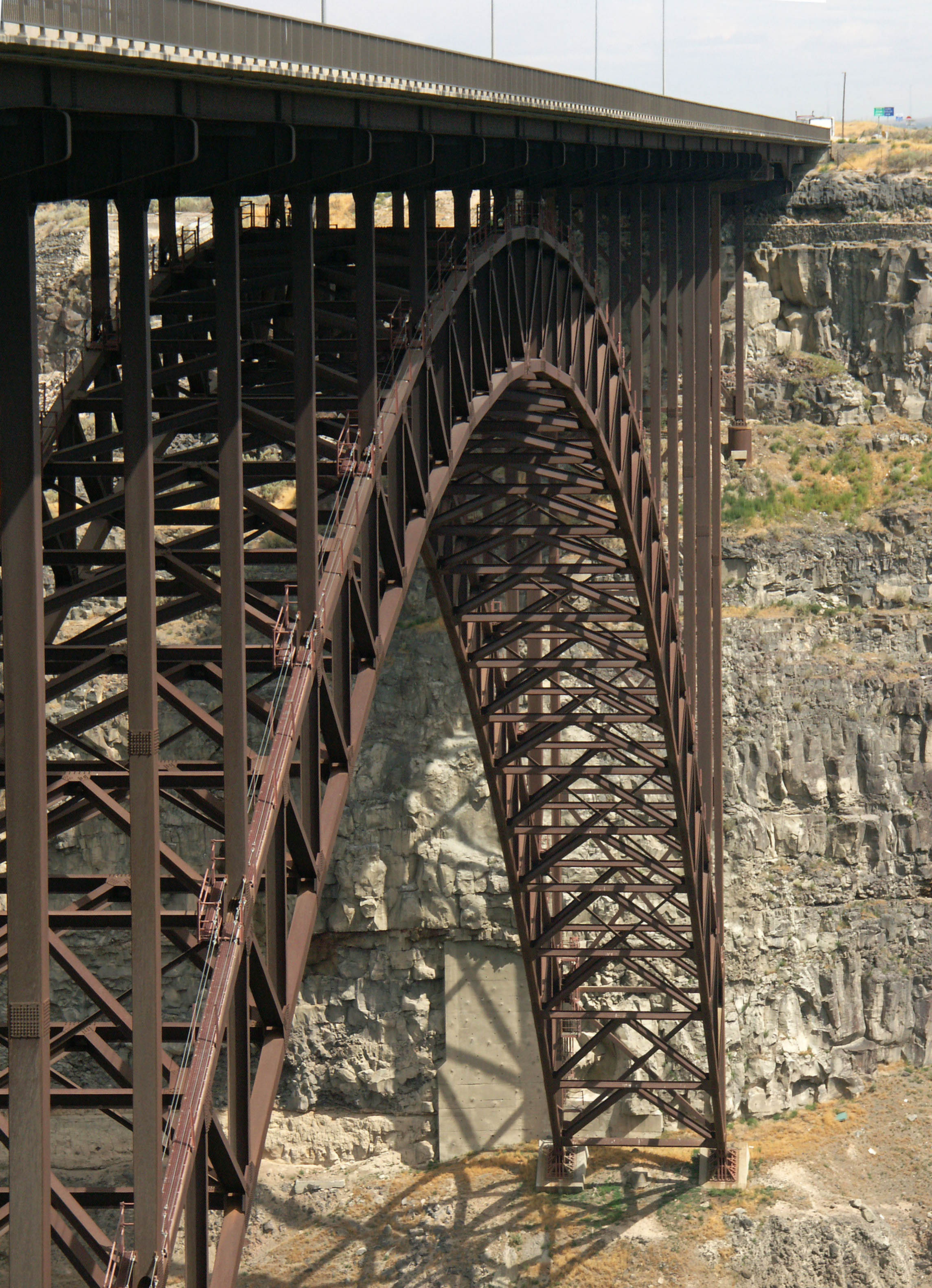
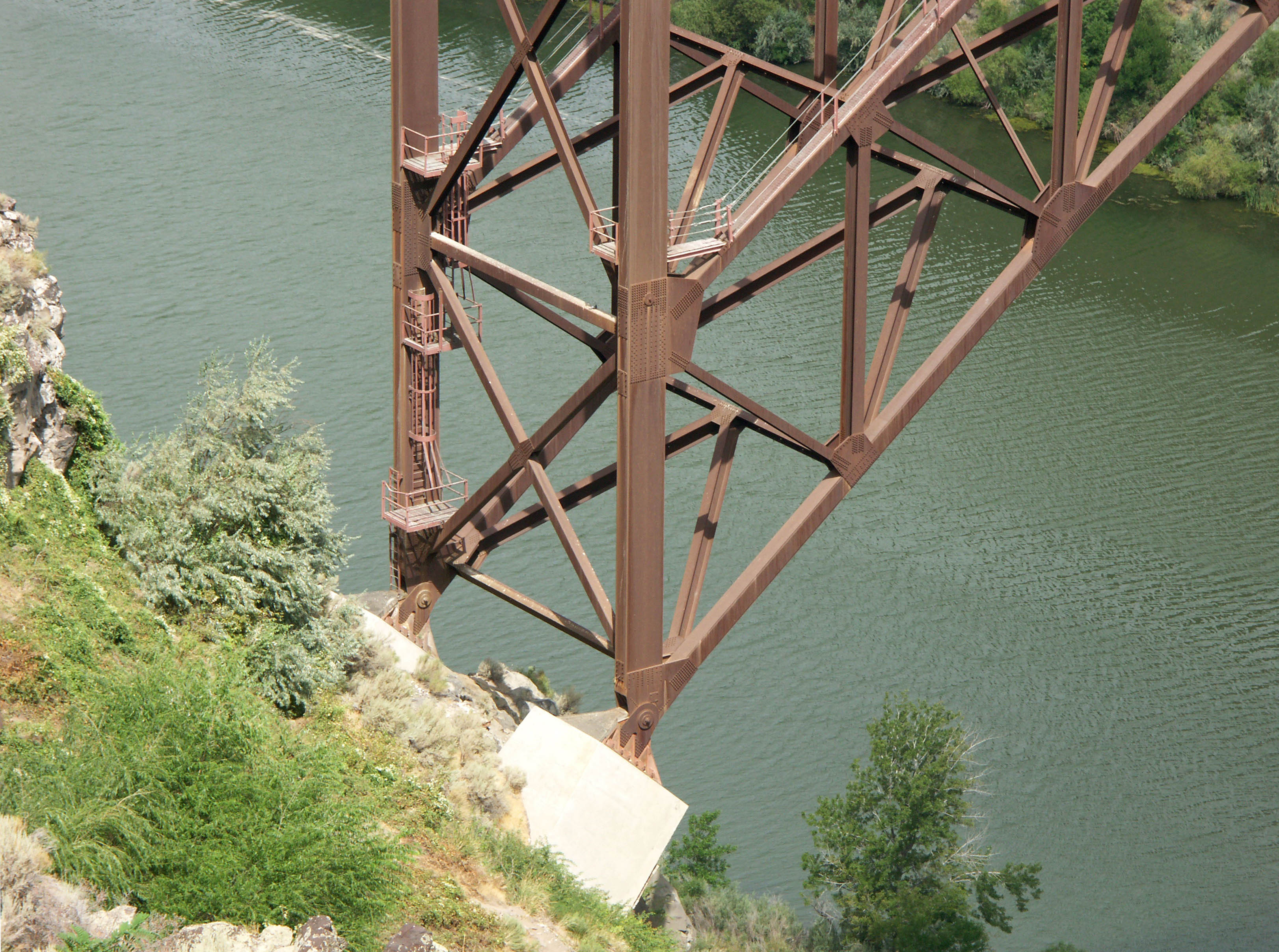
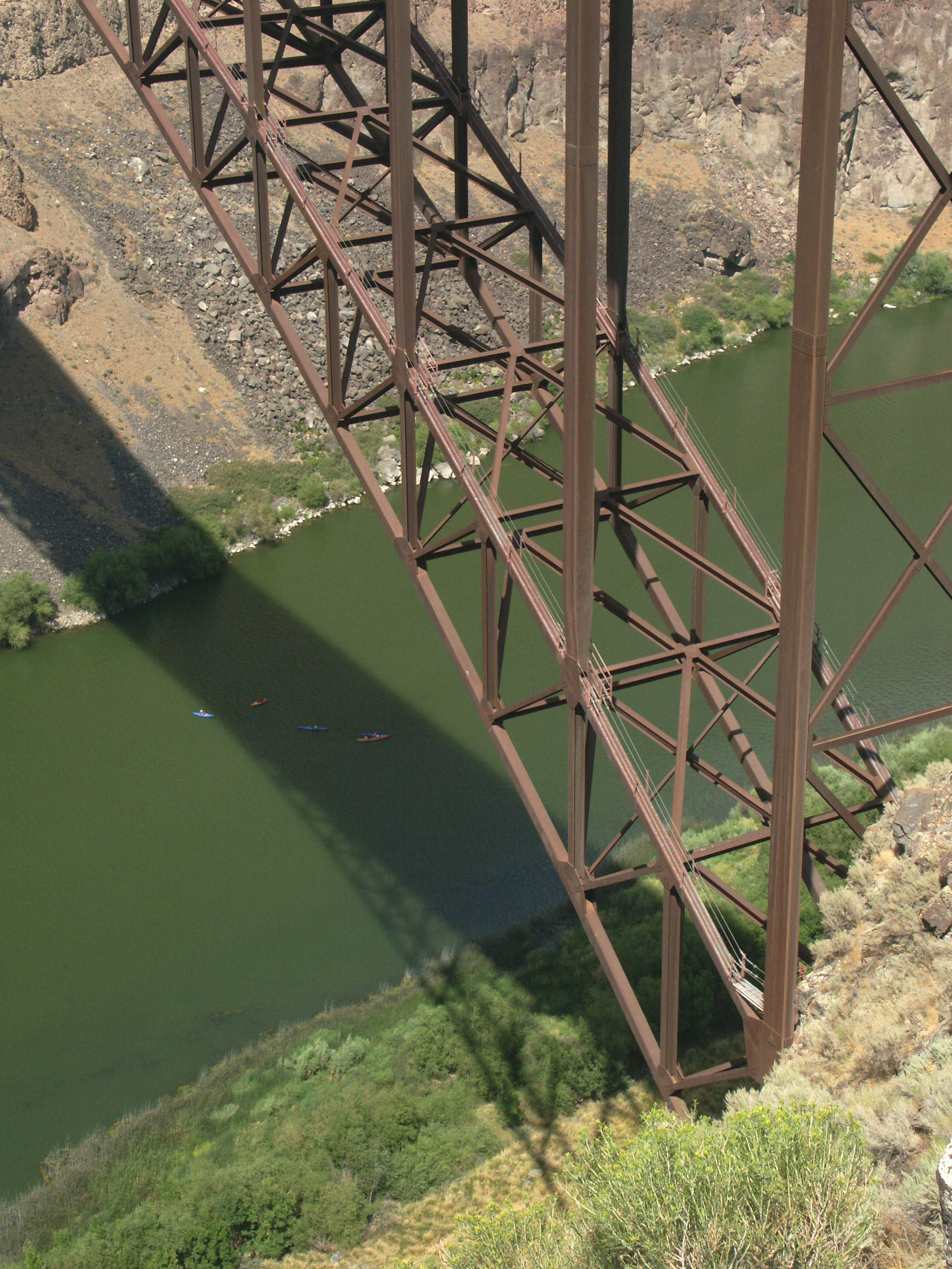
Above the massive steel truss-arch are 19 spandrel spaces, each just over 52 feet (16 mtrs) long. The south side has two approach spans, each approximately 145 feet (44 mtrs) long while the north side has two approach spans of approximately 106 feet (32 mtrs) in length. The main span was constructed using the stayed cantilever method whereby individual pieces of the arch were lowered down from a highline and held in place by a series of stay cables that temporarily radiated out from the end of an already completed approach span on either side of the canyon. Once the two arch halves were joined in the middle, the cable stays were removed and the highline was then used to place the final spandrel supports and deck spans.
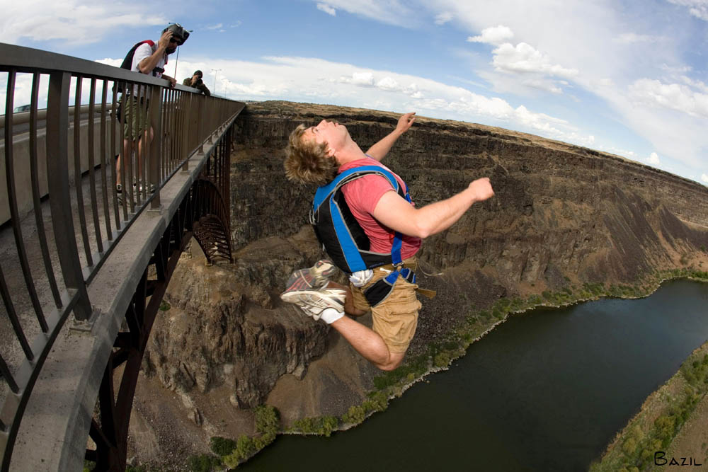
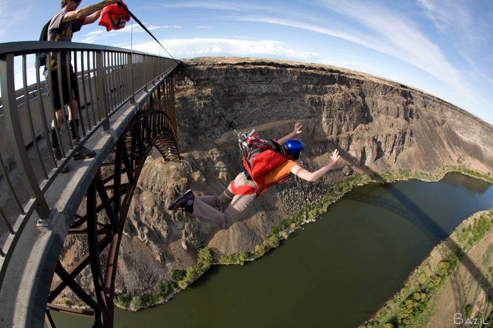
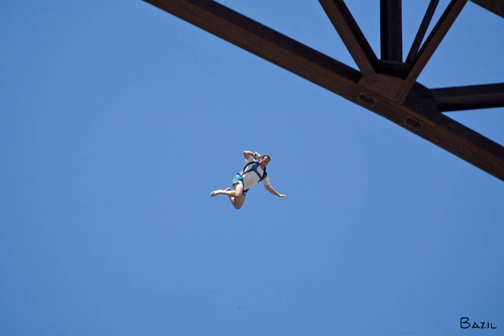
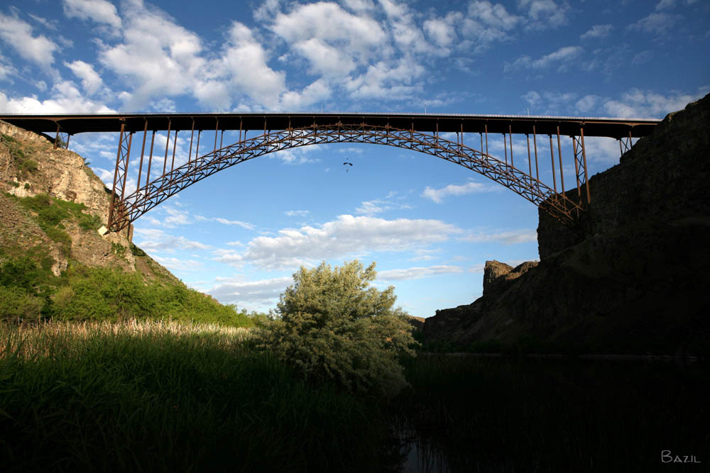
The most distinctive trait of the Perrine may well be its status as the only bridge in the U.S. where BASE jumping is legal year round without a permit. During most weekends, you can usually catch a group of jumpers leaping from the east side of the span. Known among BASE jumpers as the Potato Bridge, the 48-story drop has become legendary within the BASE community and several jumpers have made a permanent home in the Twin Falls area. Despite the fact that high bridges are the safest of the 4 land based objects BASE jumpers leap from, the bridge has claimed the lives of 4 jumpers since 2002.
If you are visiting the Twin Falls area, also be sure to check out the 350 foot (107 mtr) high Hansen bridge, located about 8 miles (13 kms) east of the Perrine bridge.
Image by Idaho Department of Transportation.
Image by Eric Sakowski / HighestBridges.com
Image by Eric Sakowski / HighestBridges.com
Image by Eric Sakowski / HighestBridges.com
Image by Eric Sakowski / HighestBridges.com
BASE jumper Brandon Chance leaps off the side of the bridge. Photo by http://www.ChrisBazil.com
PCA assist Alex Walkling pulls the chute out for BASE jumper Sharon Peterson. Photo by http://www.ChrisBazil.com
BASE jumper Abbie Mashall prepares to throw his chute. Photo by http://www.ChrisBazil.com
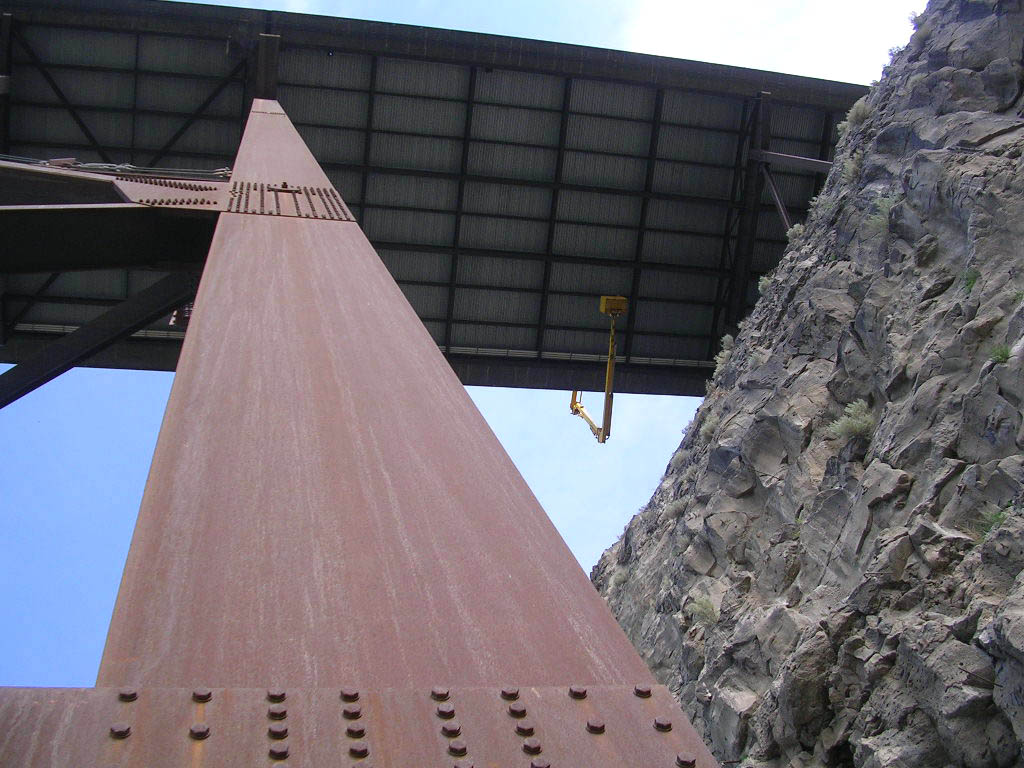
A snooper crane inspects the underside of the bridge. Image by Idaho Department of Transportation.
Image by Eric Sakowski / HighestBridges.com
Image by Eric Sakowski / HighestBridges.com
Image by Eric Sakowski / HighestBridges.com
Image by Eric Sakowski / HighestBridges.com
Image by Eric Sakowski / HighestBridges.com
Image by Eric Sakowski / HighestBridges.com
Image by Idaho Department of Transportation.
Image by Eric Sakowski / HighestBridges.com
Image by Eric Sakowski / HighestBridges.com
Photo by http://www.ChrisBazil.com
Image by Eric Sakowski / HighestBridges.com
Image by Eric Sakowski / HighestBridges.com
Image by Eric Sakowski / HighestBridges.com
Image by Eric Sakowski / HighestBridges.com
Photo by http://www.ChrisBazil.com
Image by Eric Sakowski / HighestBridges.com
Image by Eric Sakowski / HighestBridges.com
Image by Eric Sakowski / HighestBridges.com
Image by Eric Sakowski / HighestBridges.com
Photo by http://www.ChrisBazil.com
Twin Falls-Jerome Bridge postcard.
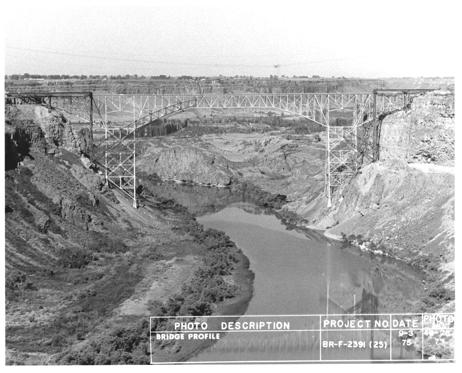
A construction photo from 1975 shows the new arch rising next to the 1927 bridge. Image by Idaho Department of Transportation.
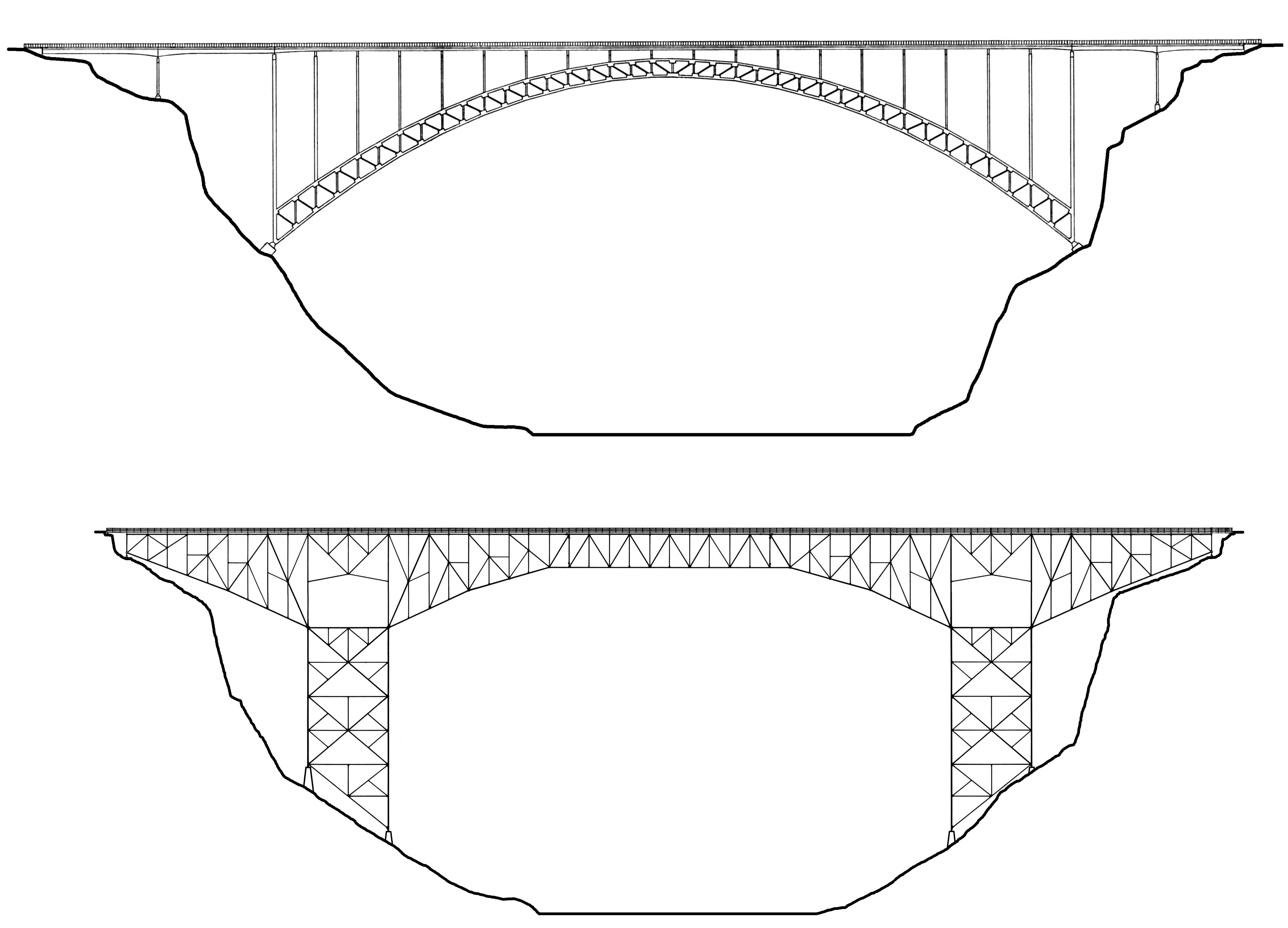
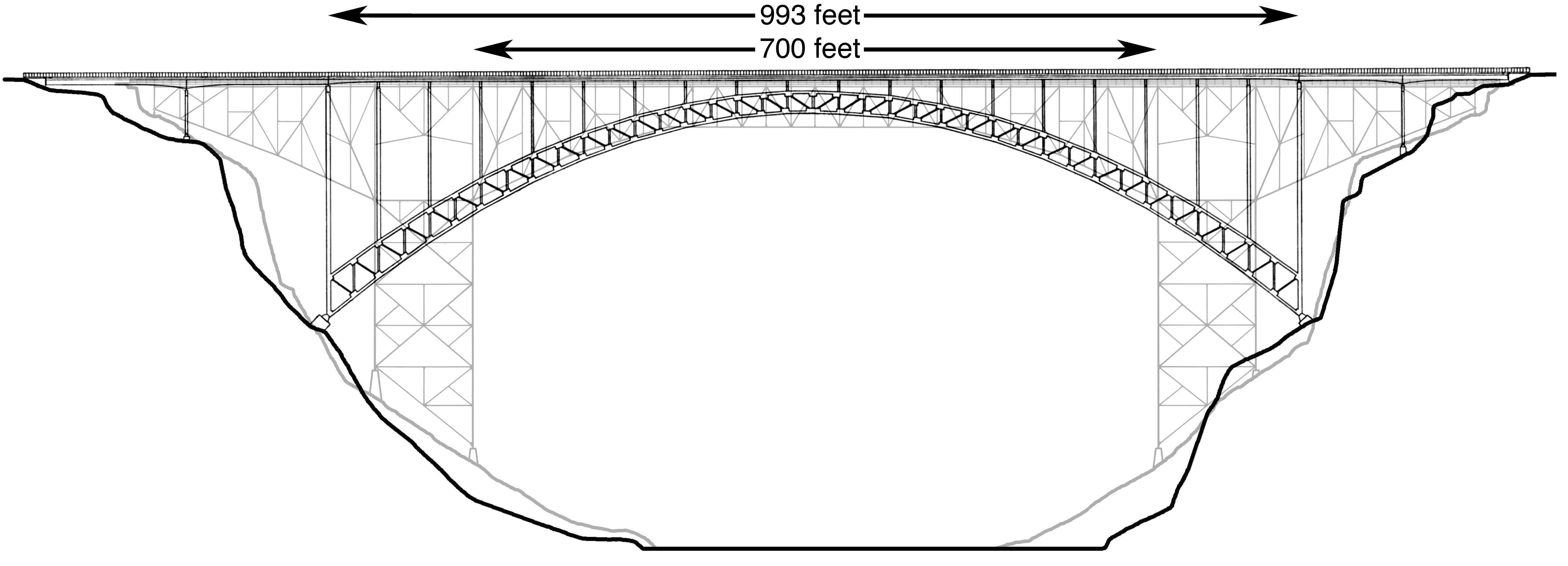
The two bridges stood next to each other for a brief period in 1976. The current bridge is 10 feet (3 meters) higher than the 1927 original. The Twin Falls-Jerome bridge had a clear span of 700 feet (213 meters) while the 1976 arch spans 993 feet (303 meters).
Twin Falls-Jerome Bridge postcard.
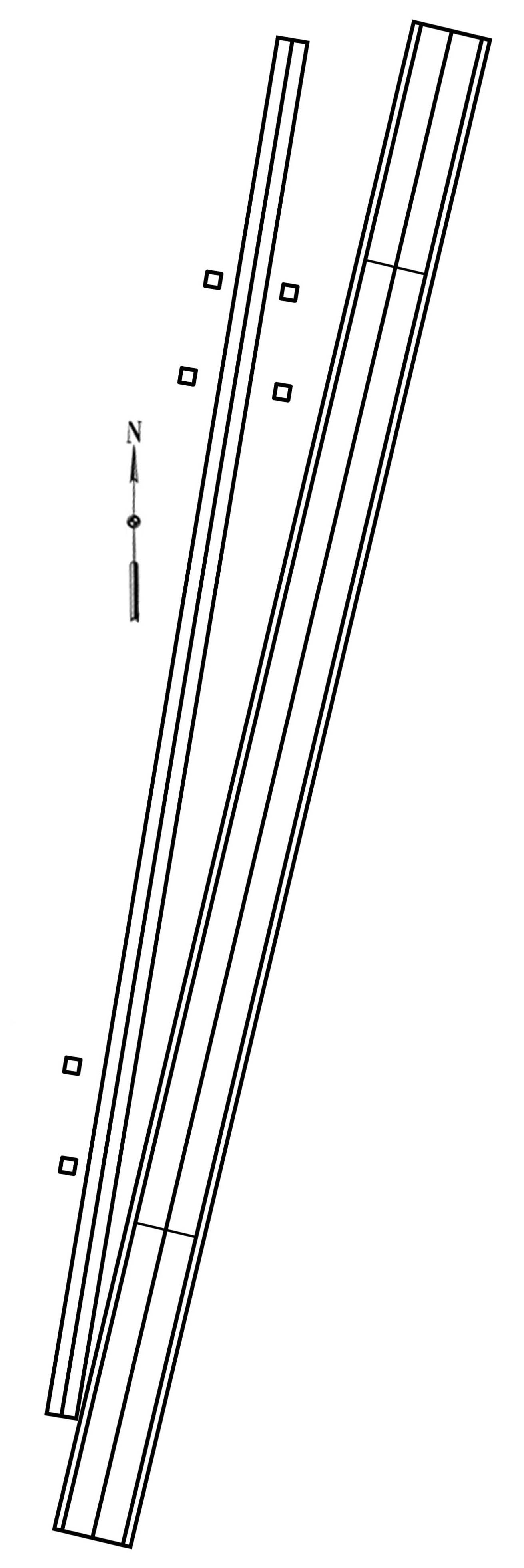
Twin Falls-Jerome and Perrine Bridge plan alignments.
Twin Falls-Jerome Bridge postcard.
Twin Falls-Jerome Bridge postcard.
Twin Falls-Jerome Bridge postcard.
Twin Falls-Jerome Bridge postcard.
Twin Falls-Jerome Bridge aerial postcard. Note the open plateau on the south end of the bridge. Today it is covered with stores, restaurants and parking lots.
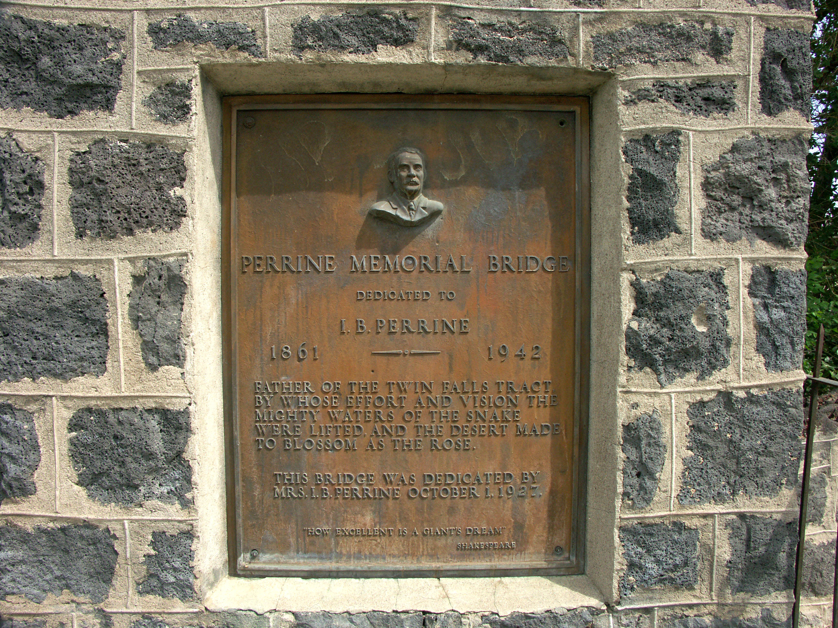
Memorial to I.B. Perrine as well as the current and previous Twin Falls-Jerome Bridges on the south side of the Snake River canyon. Image by Eric Sakowski / HighestBridges.com
Image by Eric Sakowski / HighestBridges.com
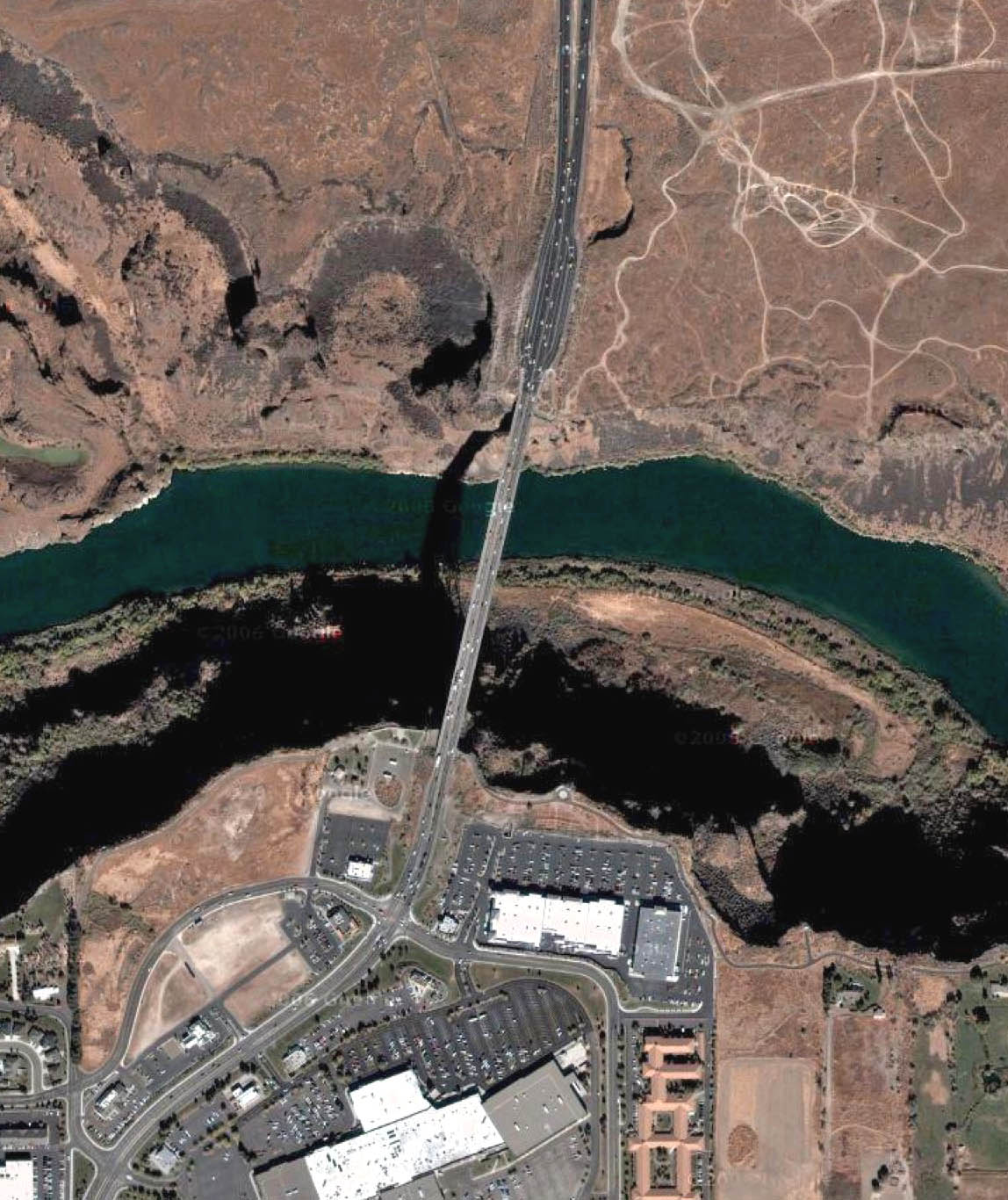
Perrine Bridge satellite image.
