Mike O'Callaghan-Pat Tilman Memorial Bridge
Mike O'Callaghan-Pat Tillman Memorial Bridge
Colorado River Bridge
Hoover Dam Bypass Bridge
Boulder City, Nevada, United States
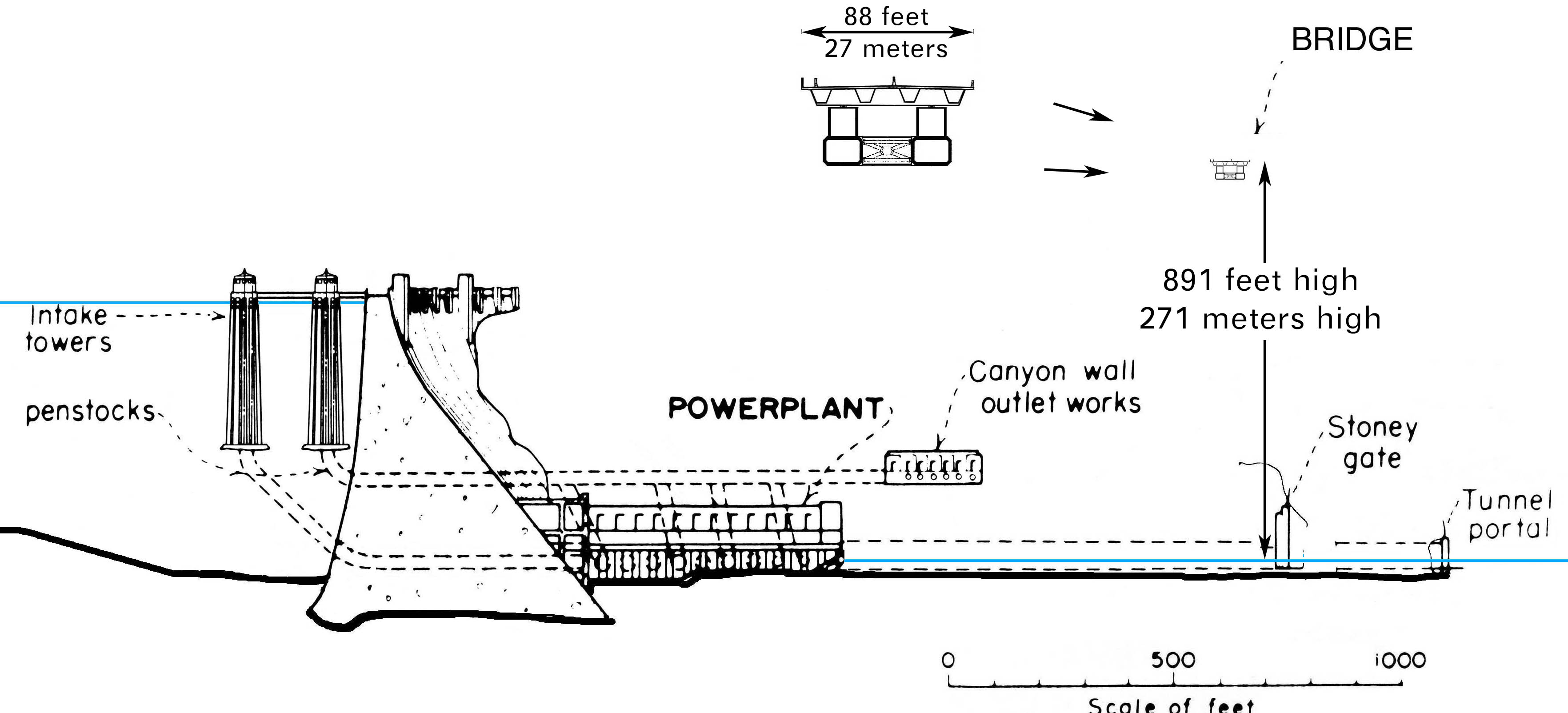
890 feet high / 271 meters high
1,060 foot span / 323 meter span
2010
Image by Federal Highway Administration, Central Federal Lands Highway Division (FHWA/CFLHD)
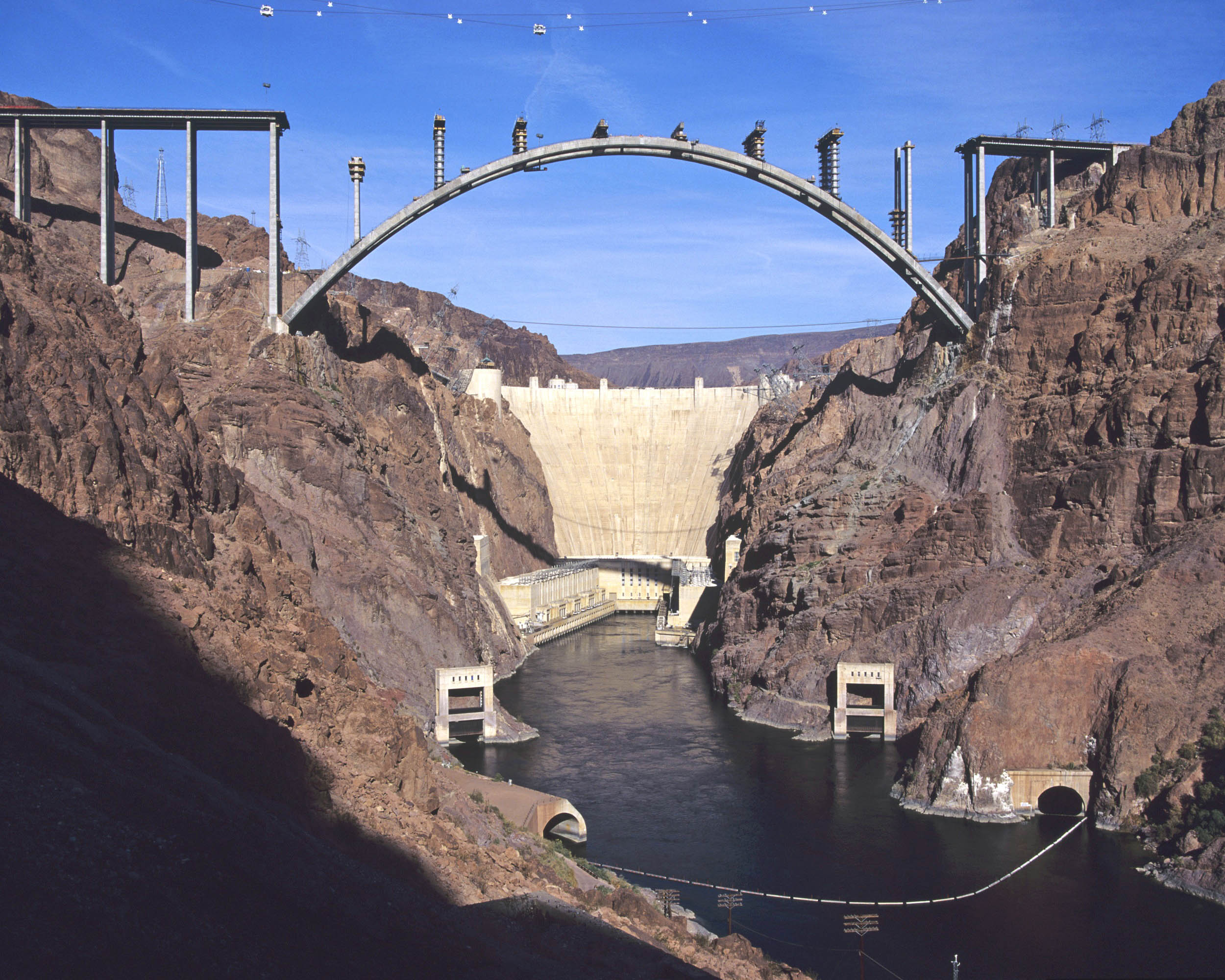
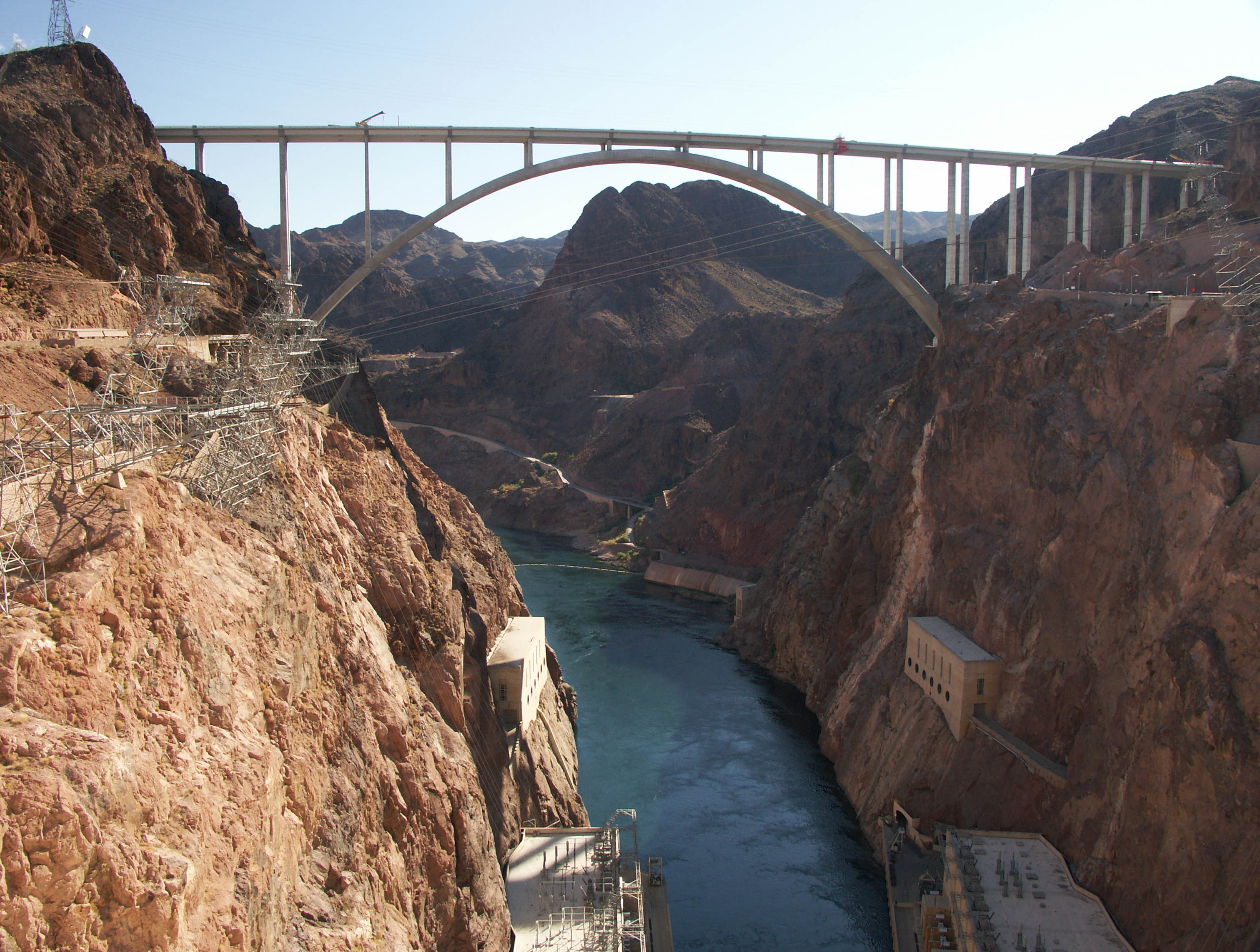
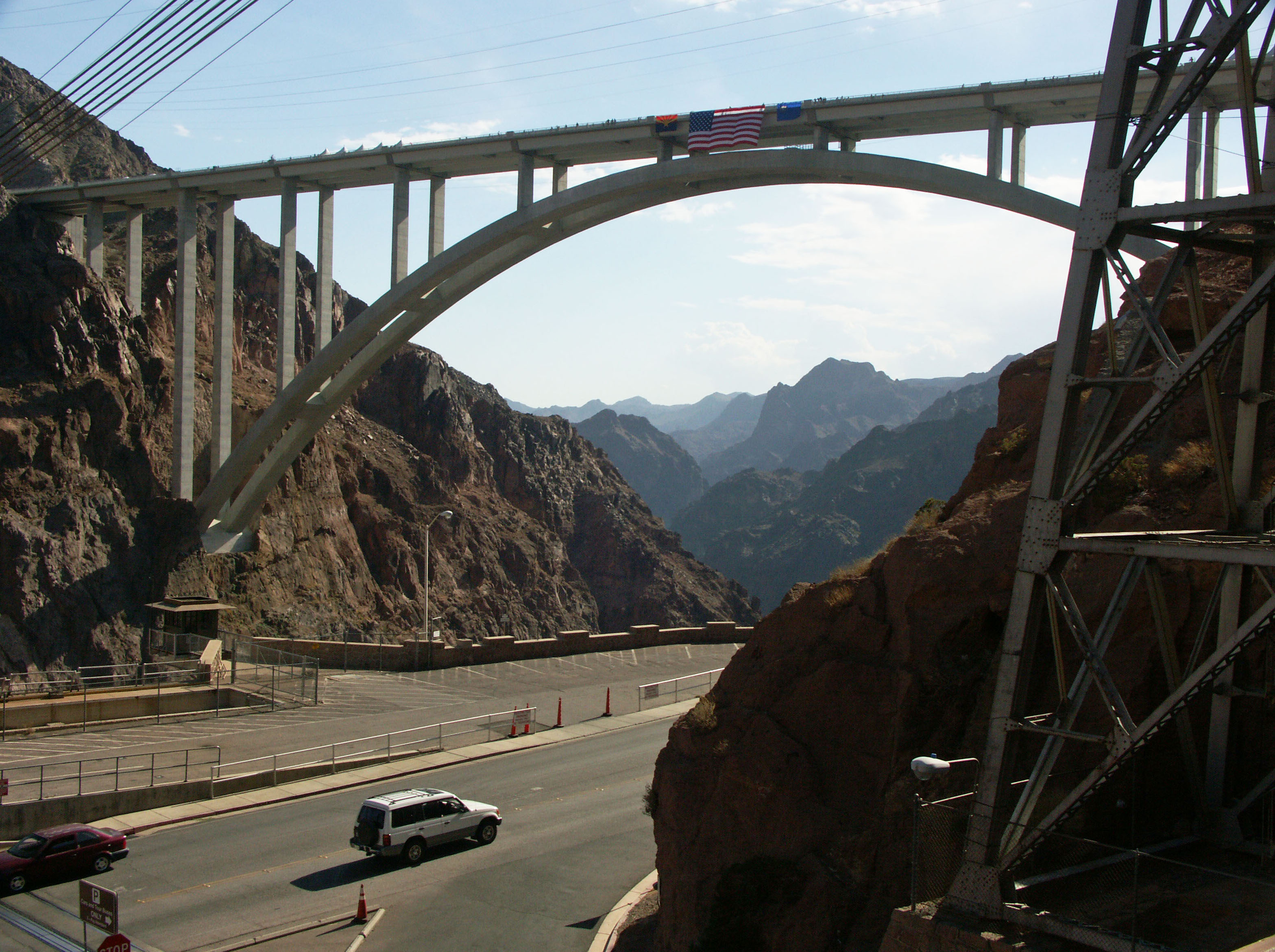
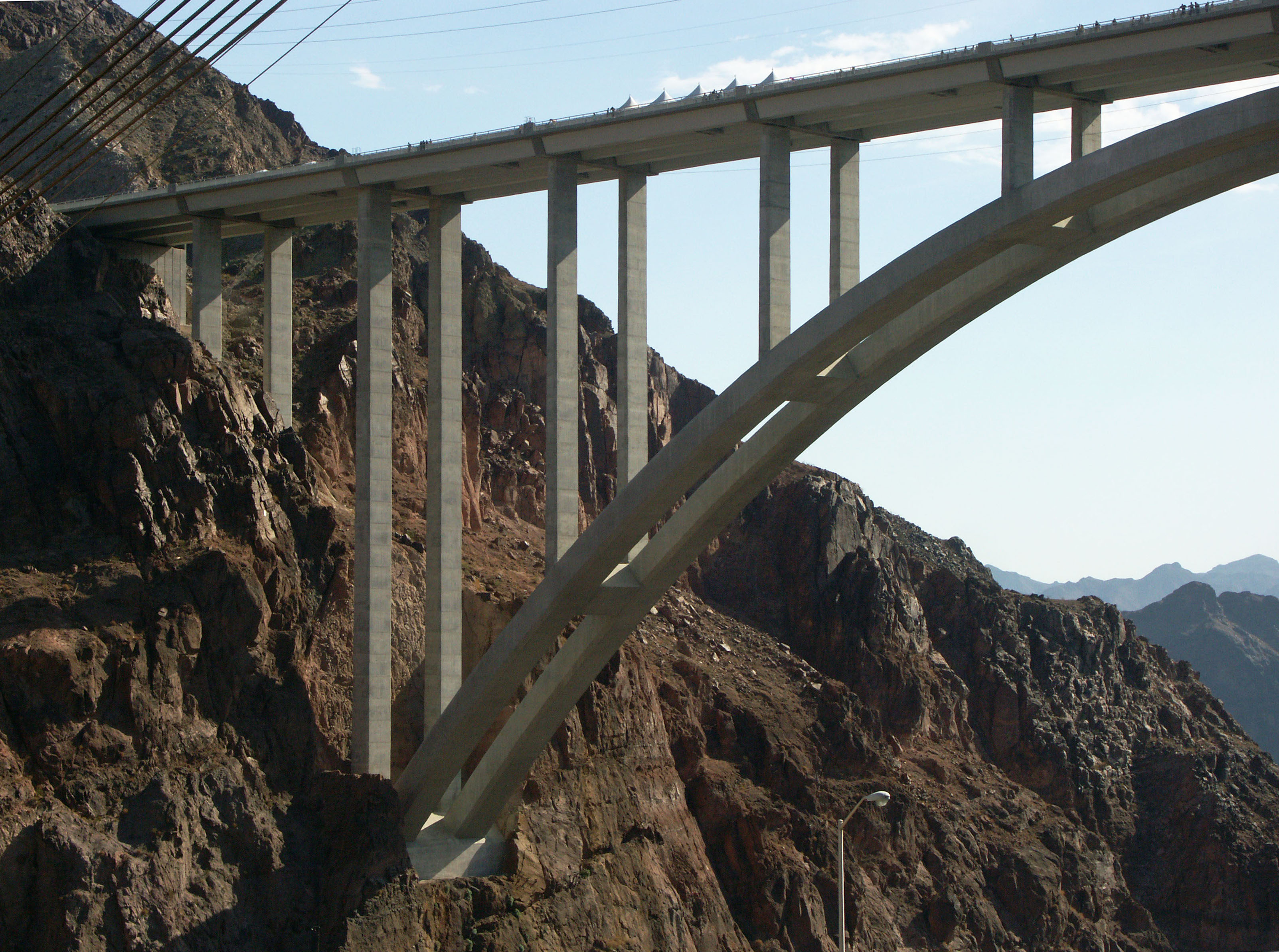
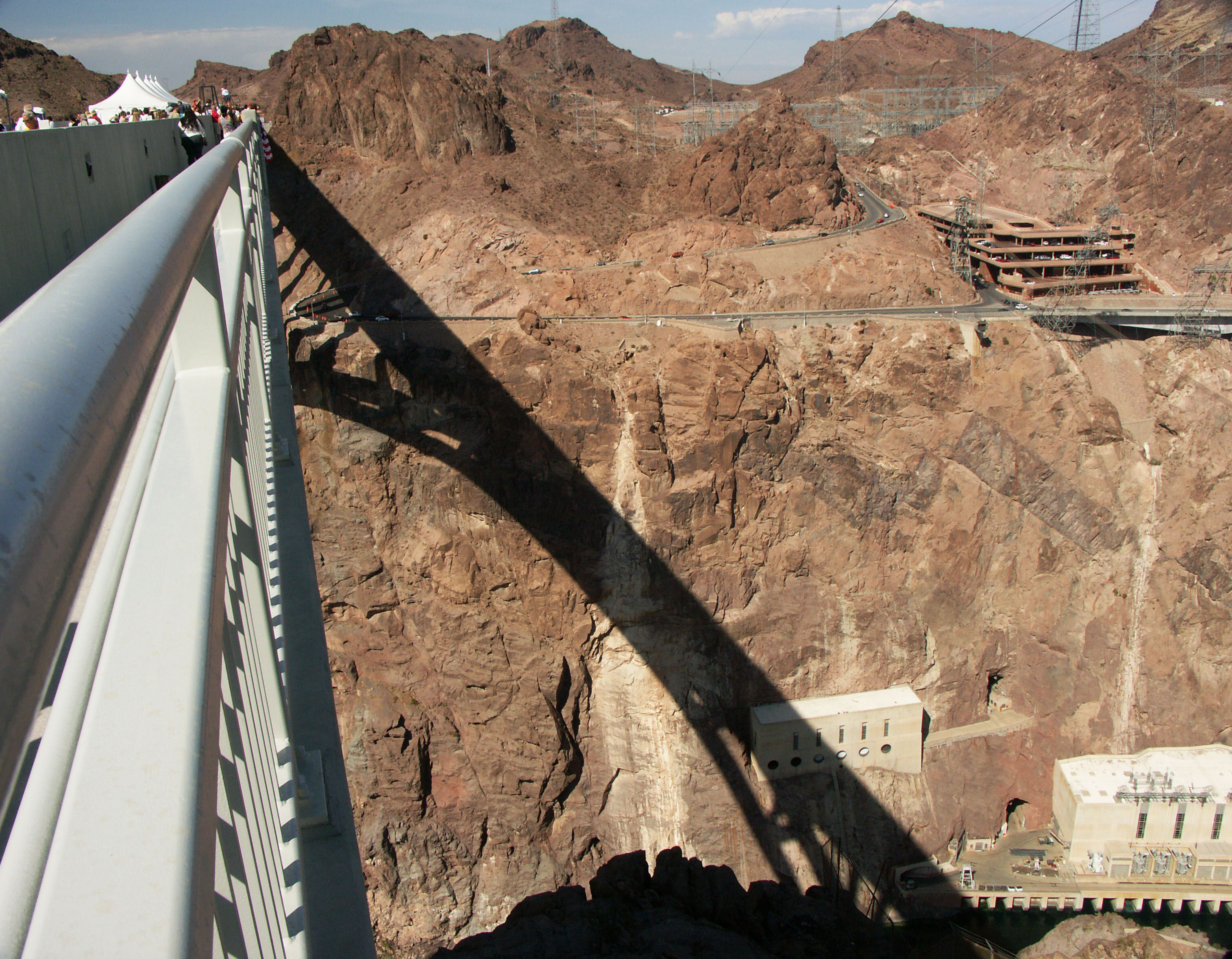
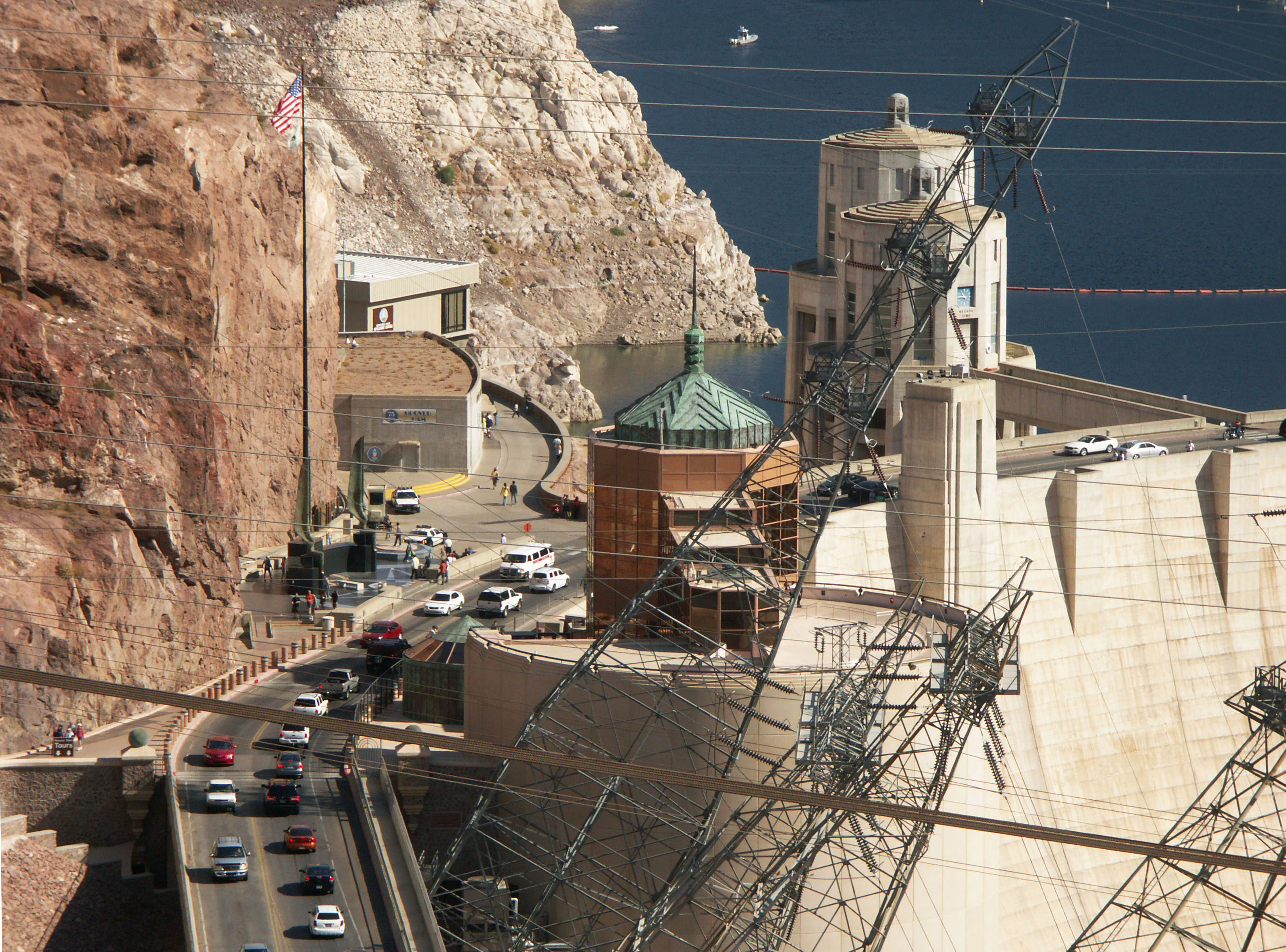
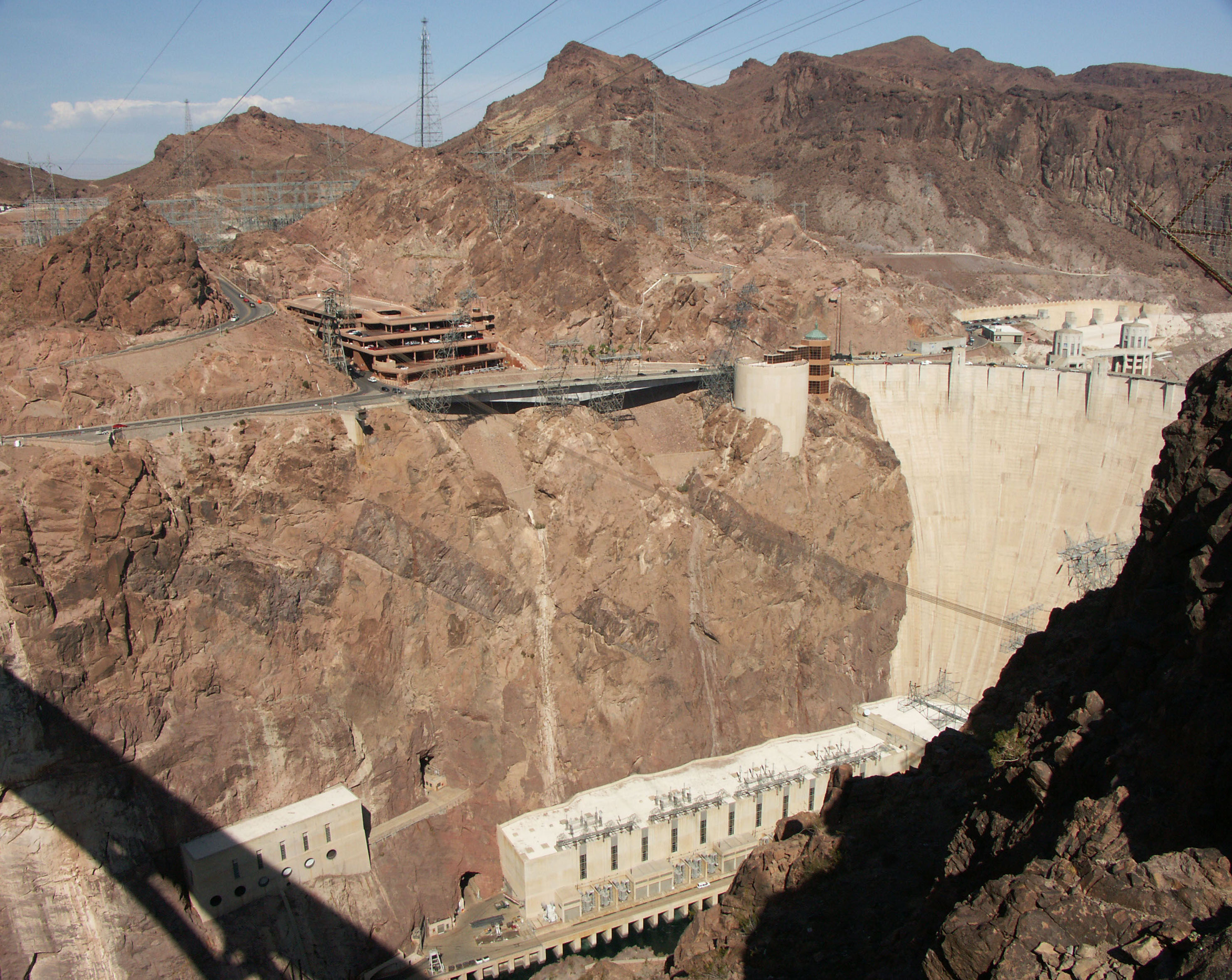
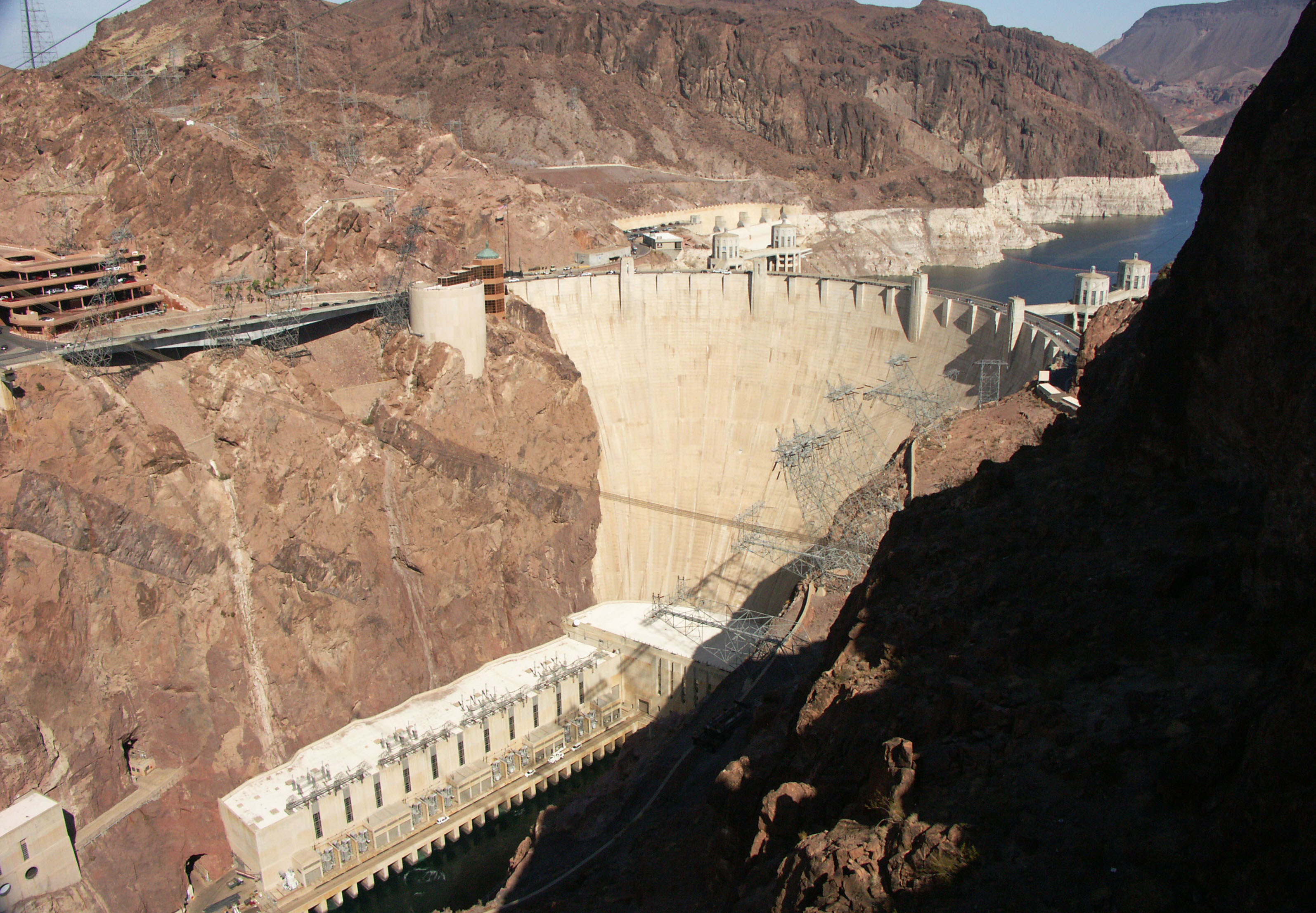
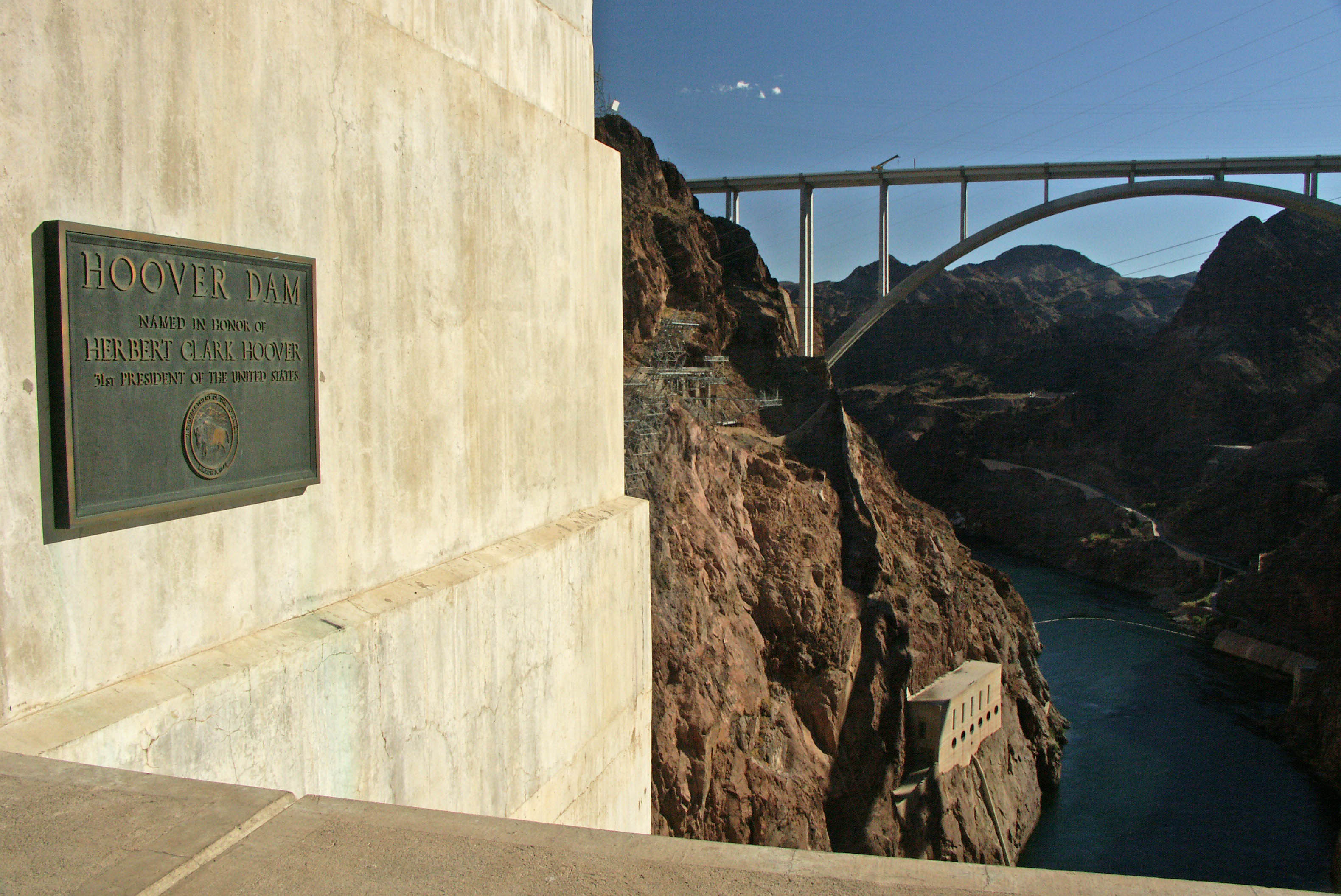
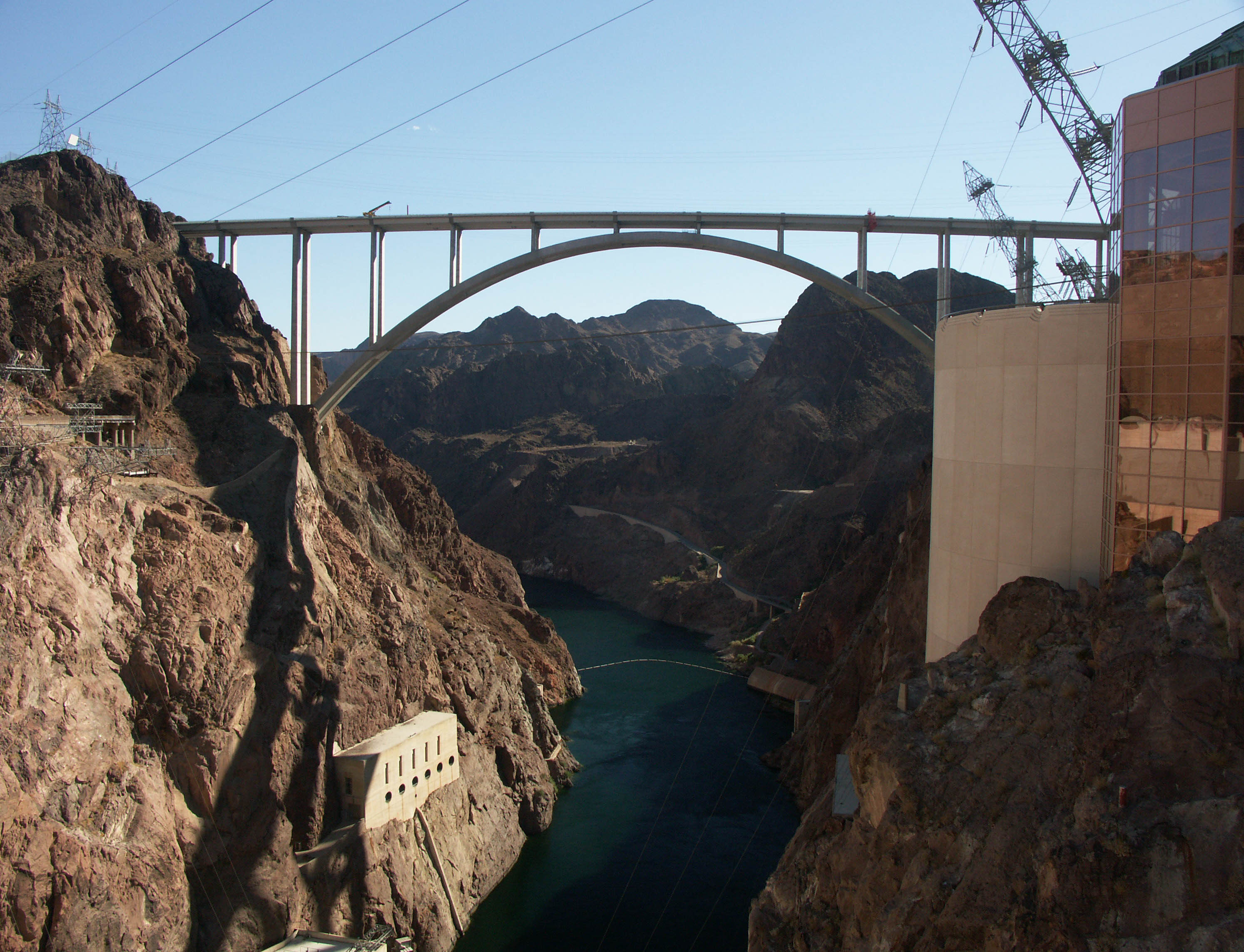
The tight switchbacks that descend into the the Colorado River canyon and across the Hoover Dam had long been a major bottleneck on busy route 93 which links Las Vegas, Nevada with Kingman, Arizona and Interstate 10. Since the dam’s completion in 1935, large trucks had to negotiate several tight switchbacks along the 2-lane road before dodging hordes of tourists visiting the Hoover Dam and visitor center. After 2001, trucks were diverted south to Laughlin on route 95 but the congestion had reached a point where it became obvious a high level bypass would be the only real solution. The resulting bridge has now become America’s second highest ever at 890 feet (271 mtrs). Officially named the Mike O’Callaghan-Pat Tillman Memorial bridge, it is also the world’s highest concrete arch bridge.
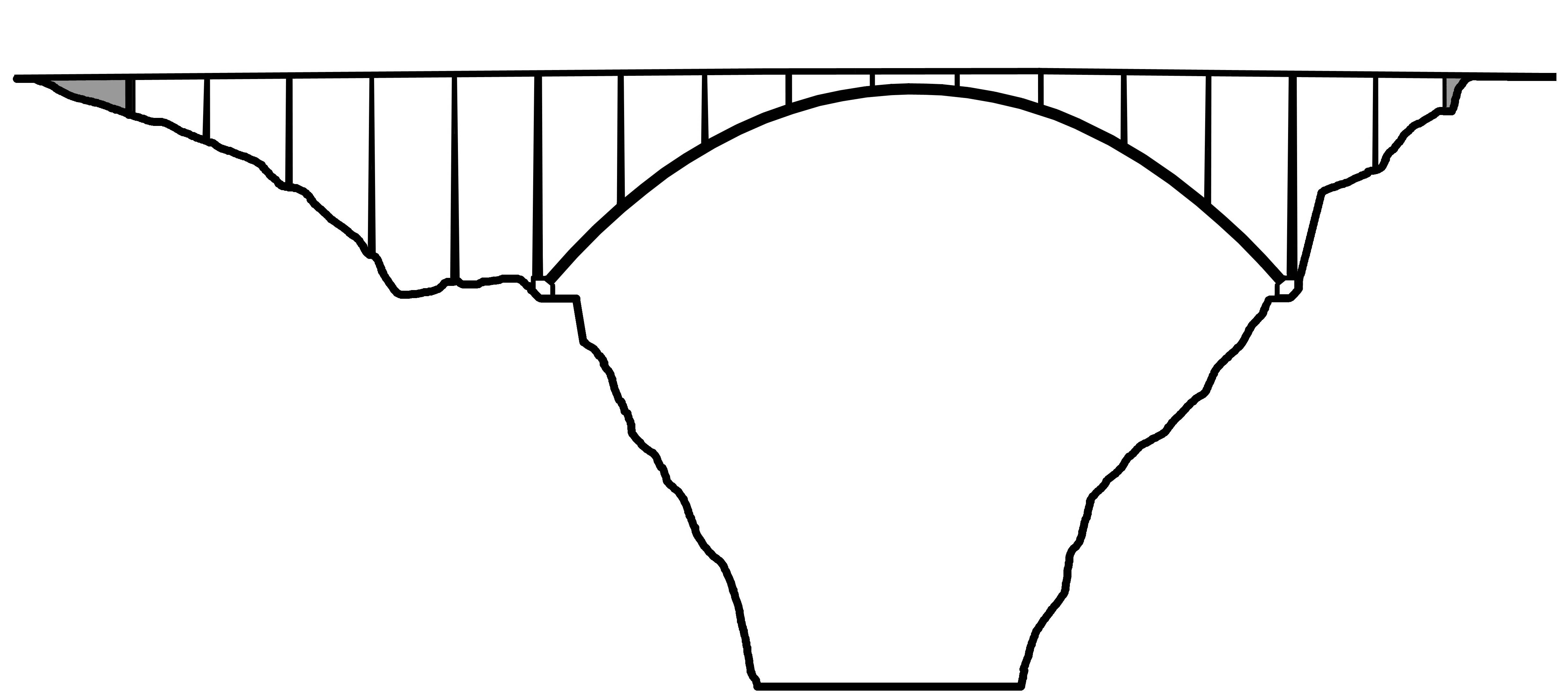
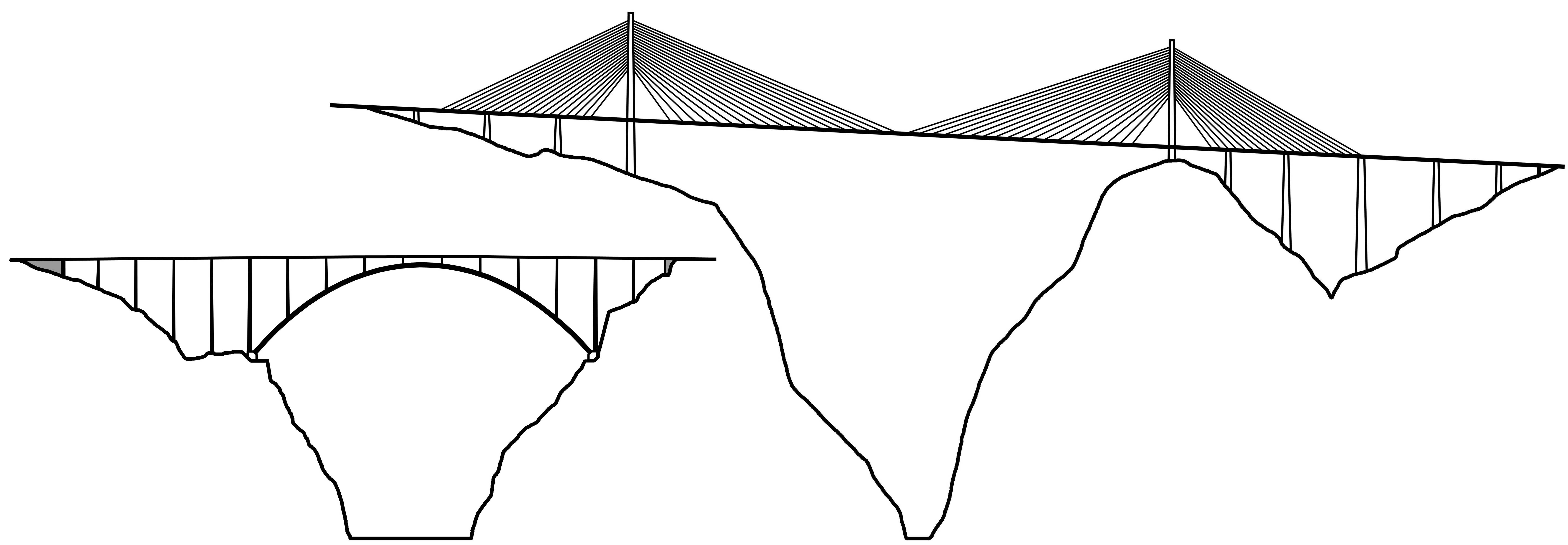
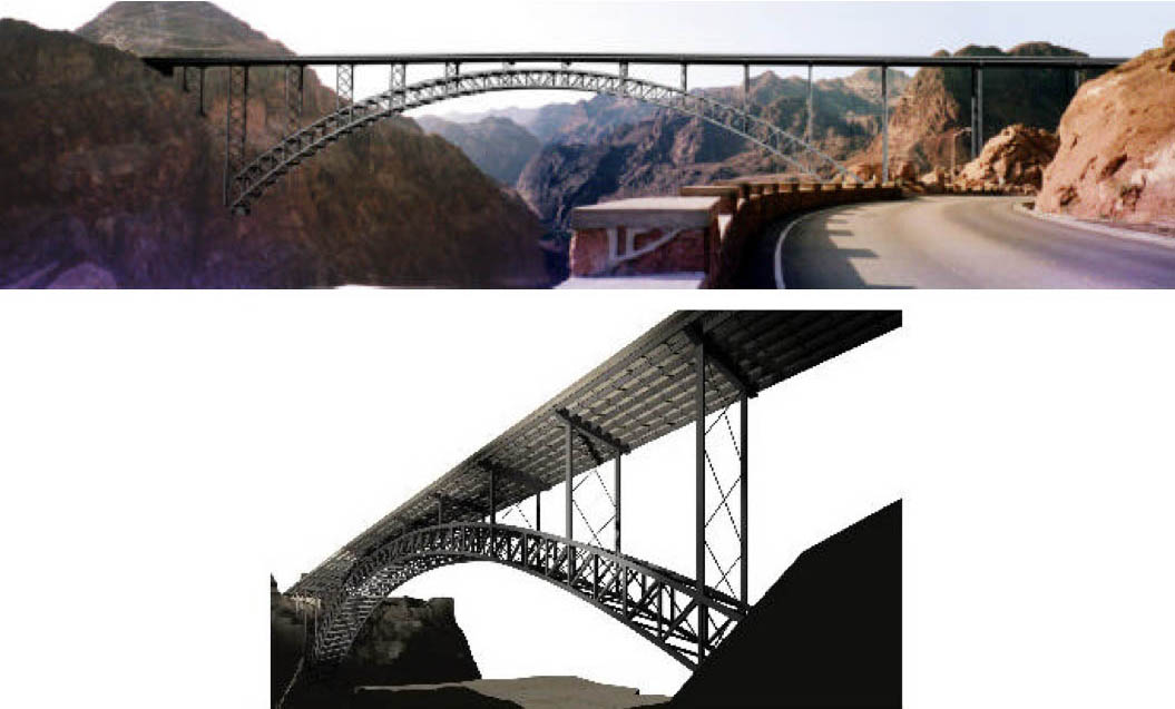
Several routes were studied before an alternative known as the Sugerloaf Mountain crossing was chosen. It won out over several proposals that would have crossed the Colorado River 2.5 miles (4 kms), 8 miles (13 kms) and 14 miles (23 kms) south of the dam. Other less likely options included a crossing even further south near Laughlin and two Lake Mead proposals including one just north of the dam. Several steel and concrete arch designs were considered before it was decided to go with a composite concrete deck arch. Of all six proposals, the most dynamic was for a steel Vierendeel arch where the spandrels are arranged in a radial sunburst pattern. This design has never been used on an arch bridge in the U.S. and would have given the structure a signature look - something that should have been given more consideration given the millions of people who will be photographing the bridge from the top of the dam. It also would have been an opportunity to make a more dynamic logo for the bridge and dam. Increases in engineering calculations were the reasons given for its exclusion. Studies were made of two different arches - a longer span of 1.325 feet and a shorter span of 1,060 feet. The concrete and steel composite arch that was finally chosen is composed of two massive ribs that form a breathtaking span of 1,060 feet (323 mtrs), the longest of any North American concrete arch and nearly double the length of the 550 foot (168 mtr) span of the Fred G. Redmon bridge over Selah Creek in Washington State and the 582 foot (177 meter) Natchez Trace Parkway bridge near Franklin, Tennessee, U.S.A.
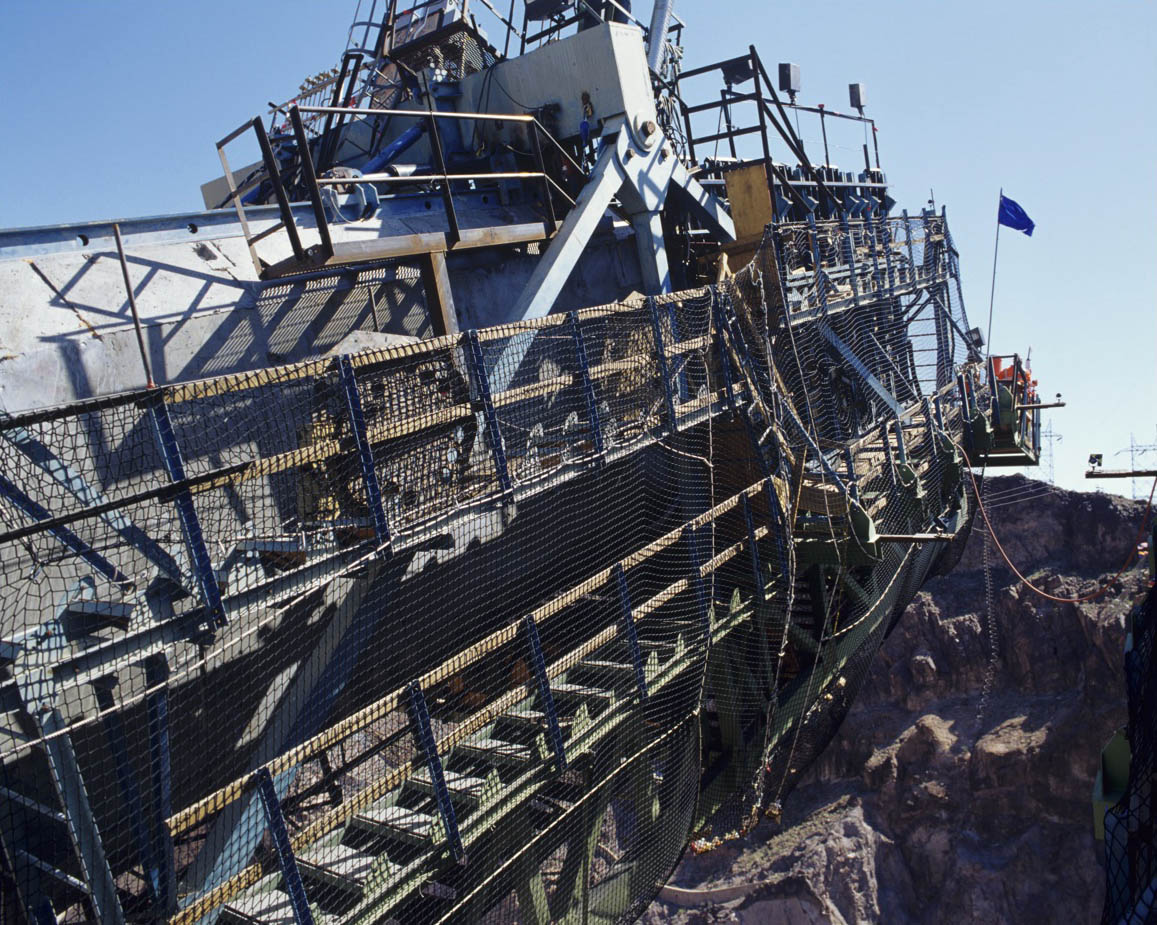
During construction, the proximity of the foundation excavation blasting to the historical Hoover Dam buildings and the desire to preserve the natural state of the canyon walls led to the installation of nets to catch loosened rocks and boulders. Wind had a large effect on the design with the design based on an hourly mean wind of 98 mph with short gusts of up to 125 mph. Vortex shedding was reduced on the main span and columns by introducing Chamfers which are essentially 45 degree cuts at the corners of the box shaped beams. The angular Chamfers also had the unintentional effect of making the structure look more elegant and less bulky. The potential for the tall columns to move from temperature changes required the unique use of spring-loaded bearings in the abutments that allow the bridge to drift back into a neutral position.
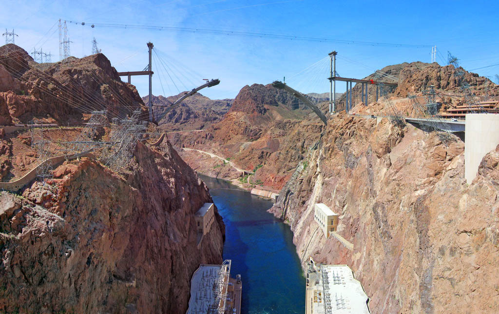
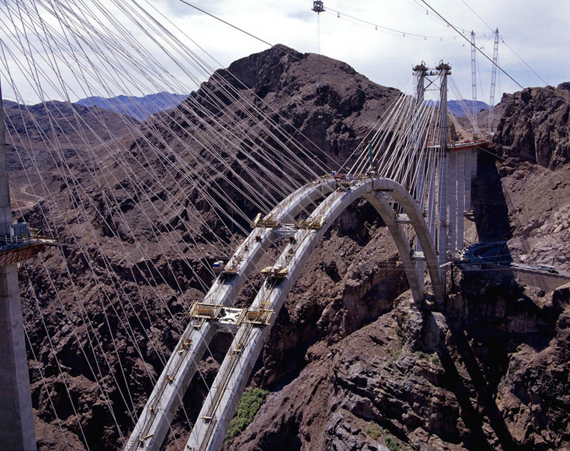
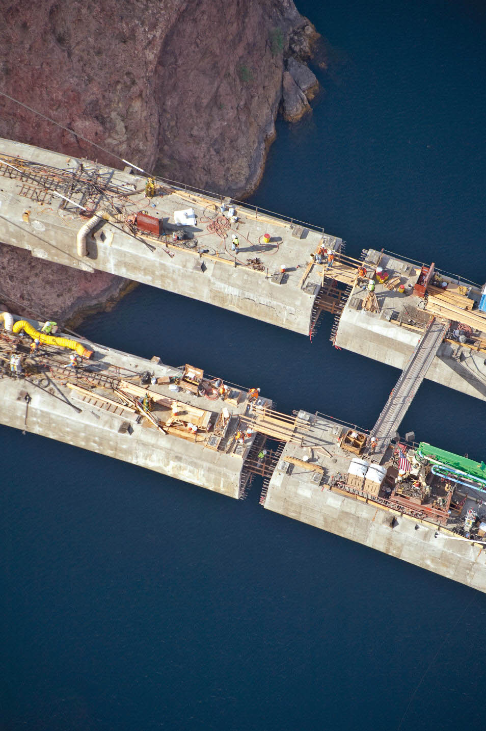
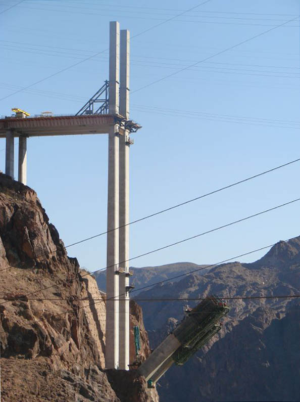
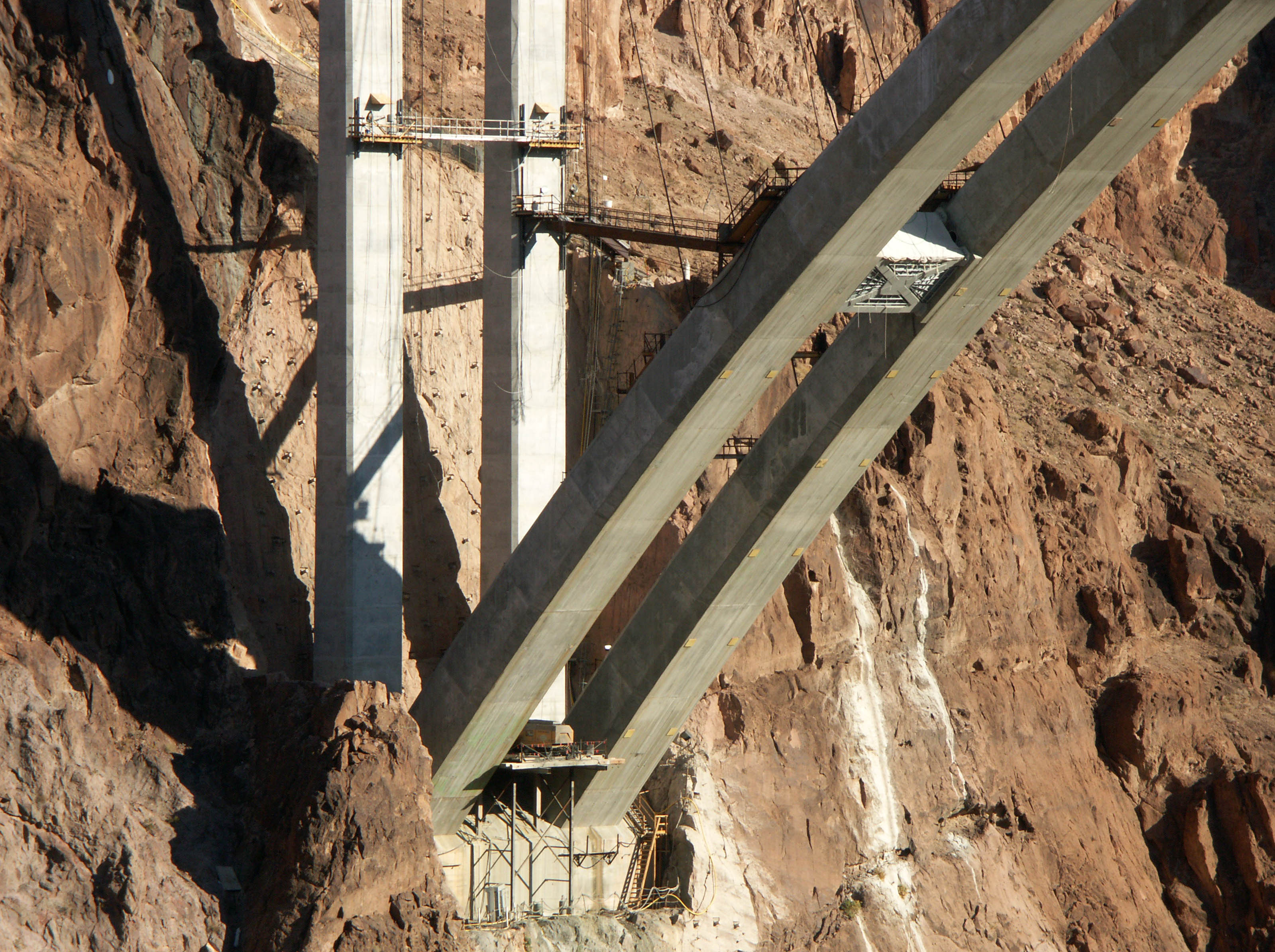
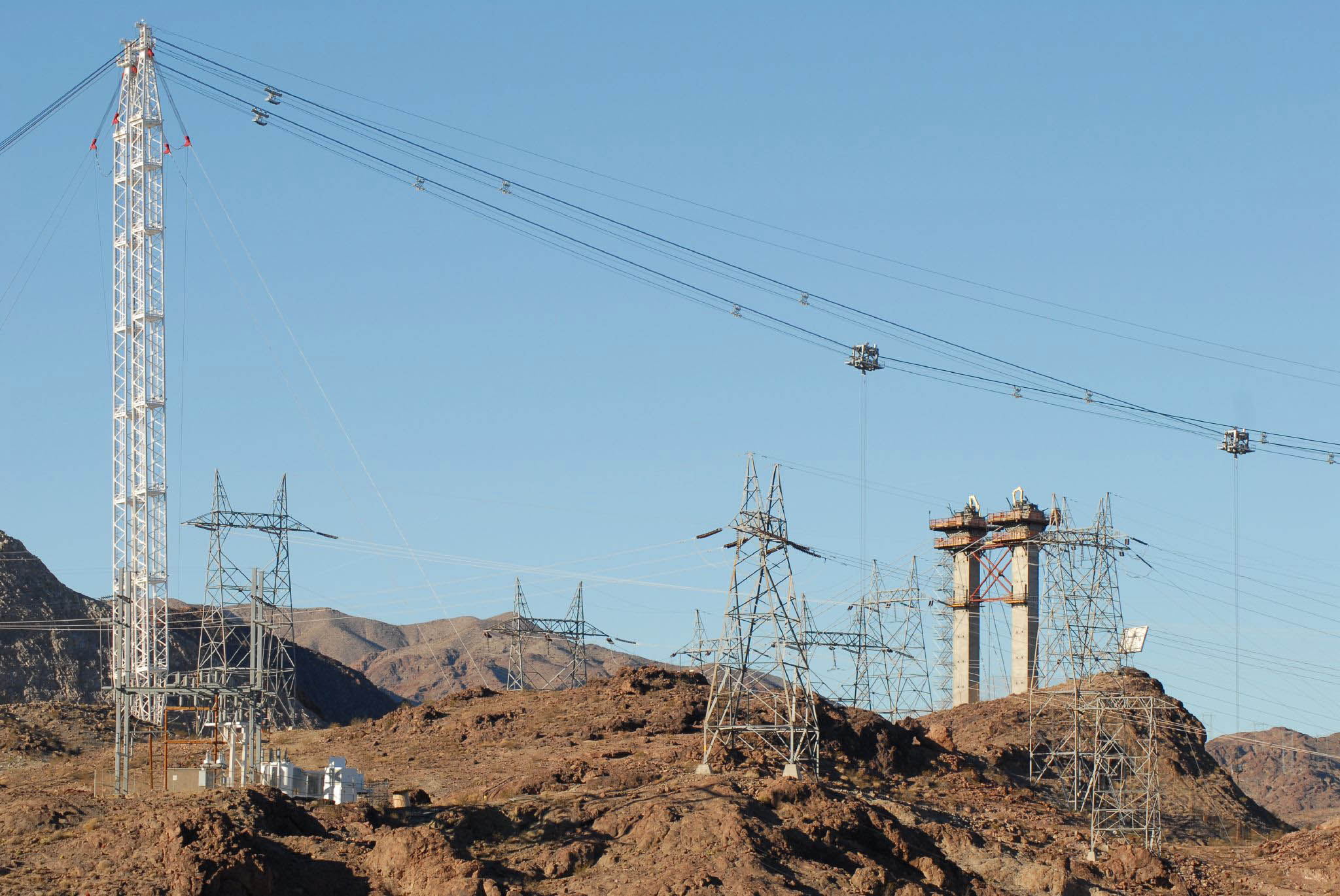
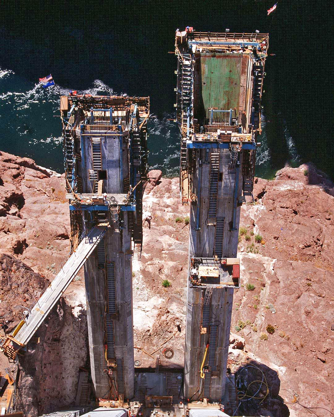
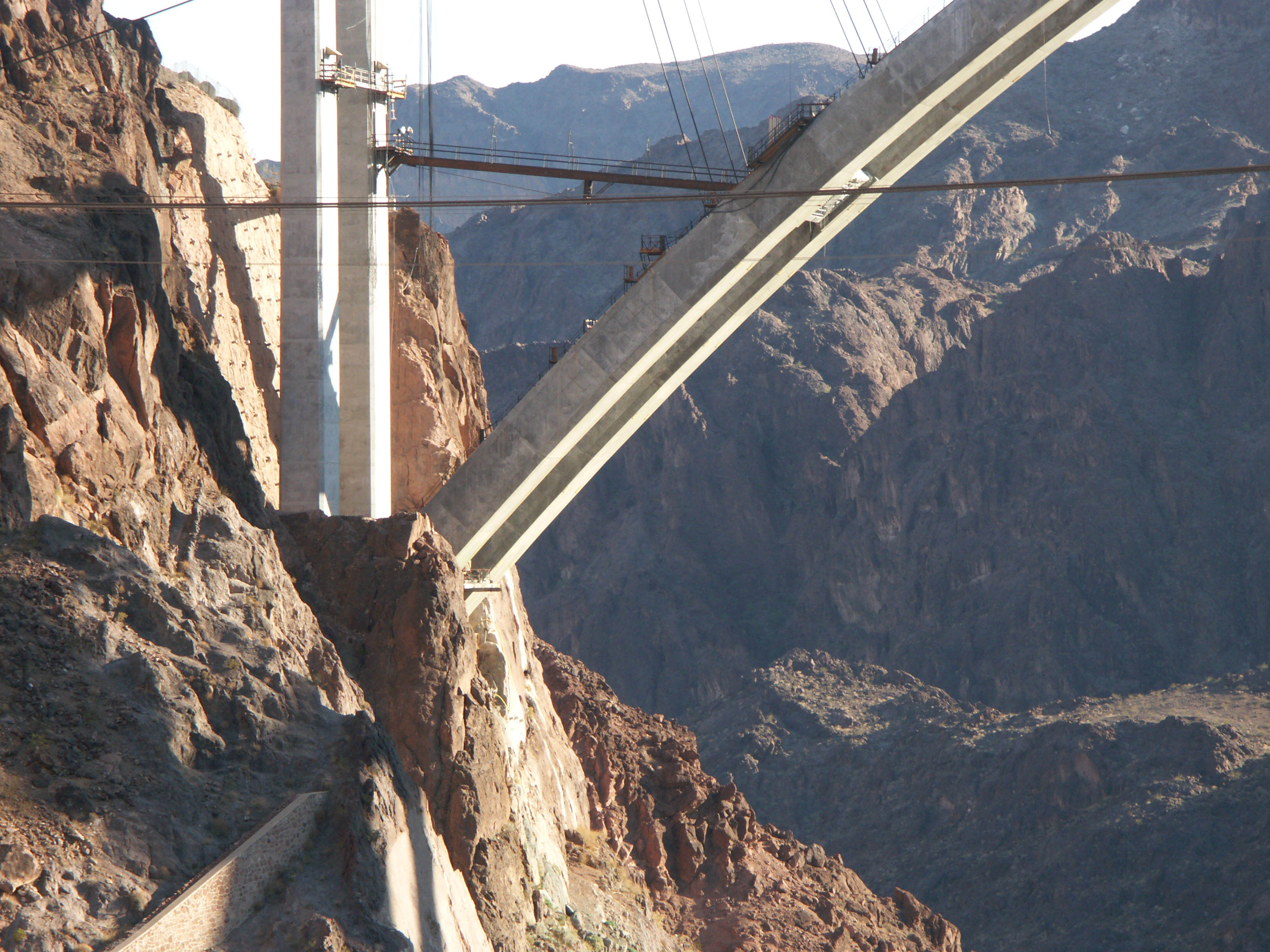
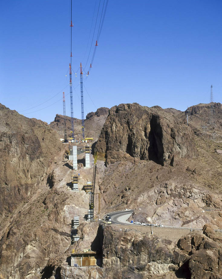
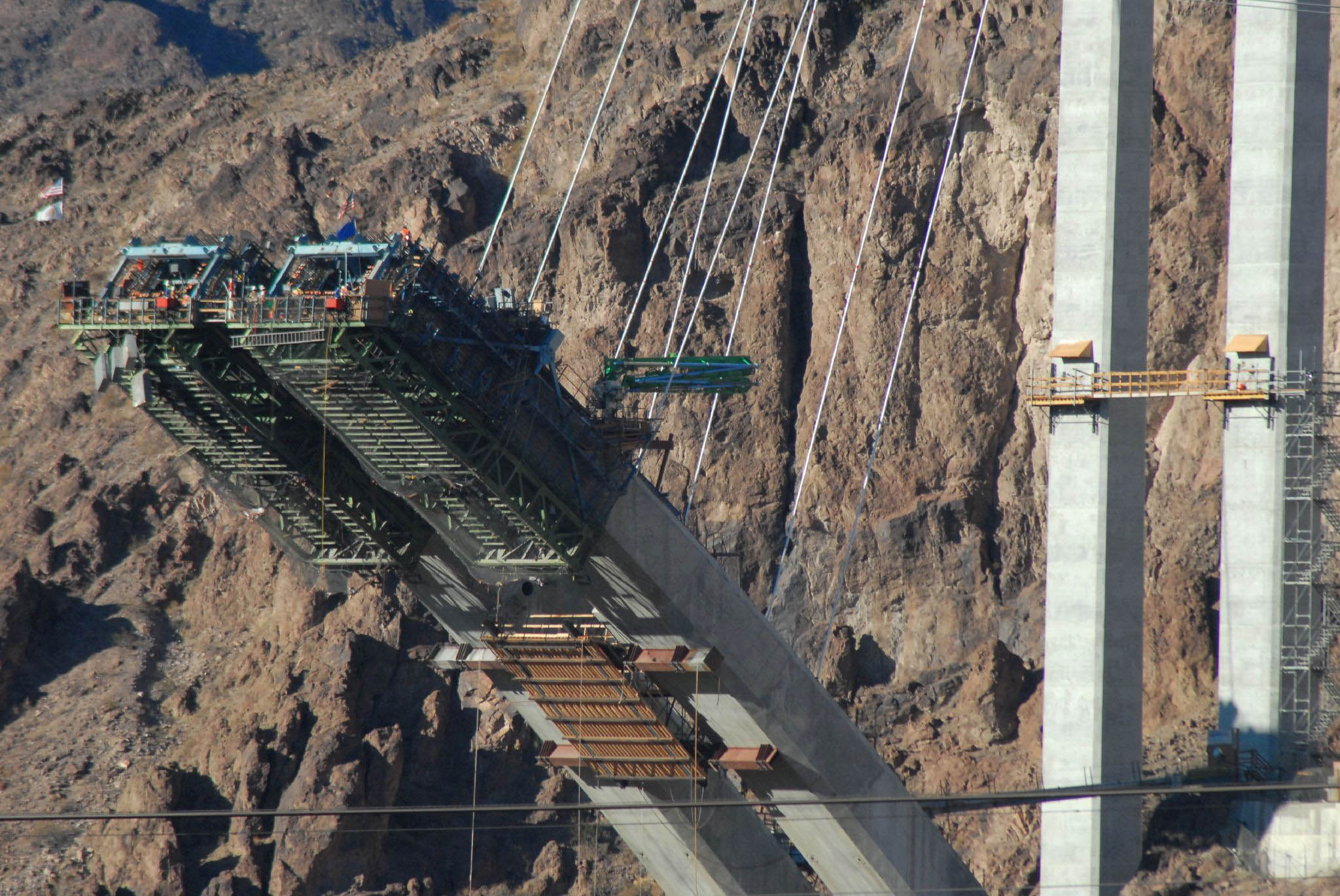
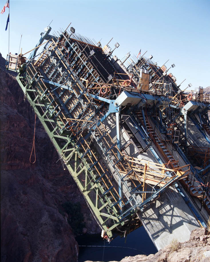
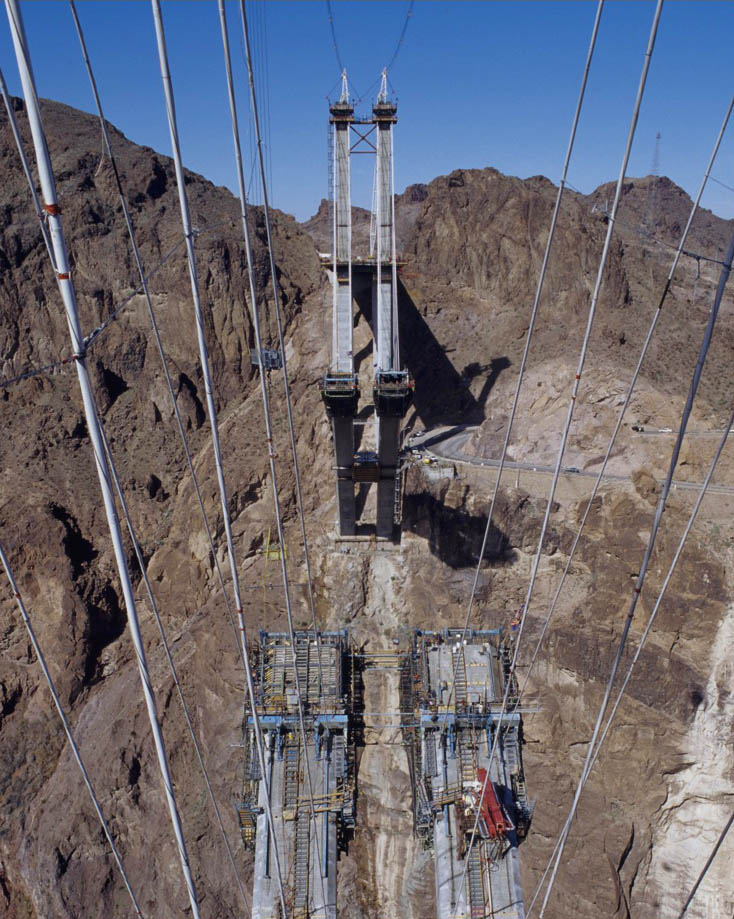
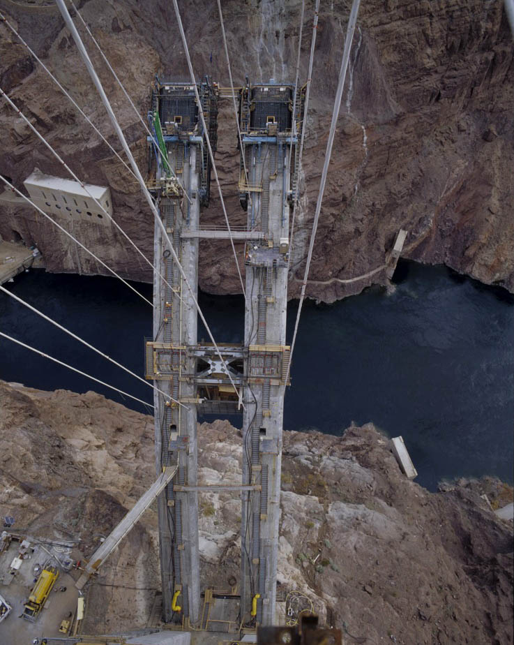
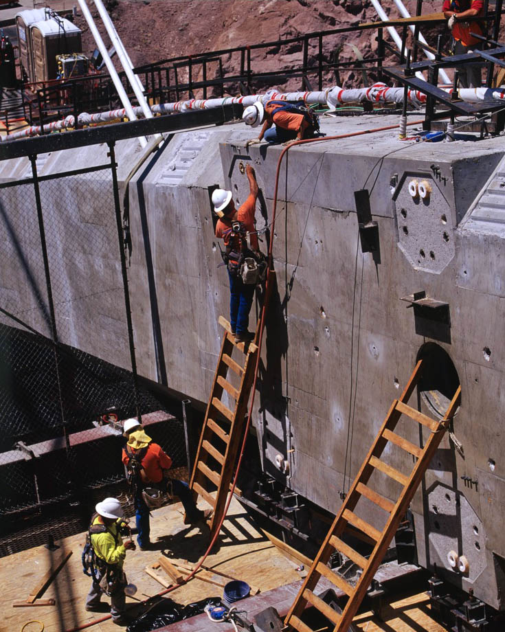
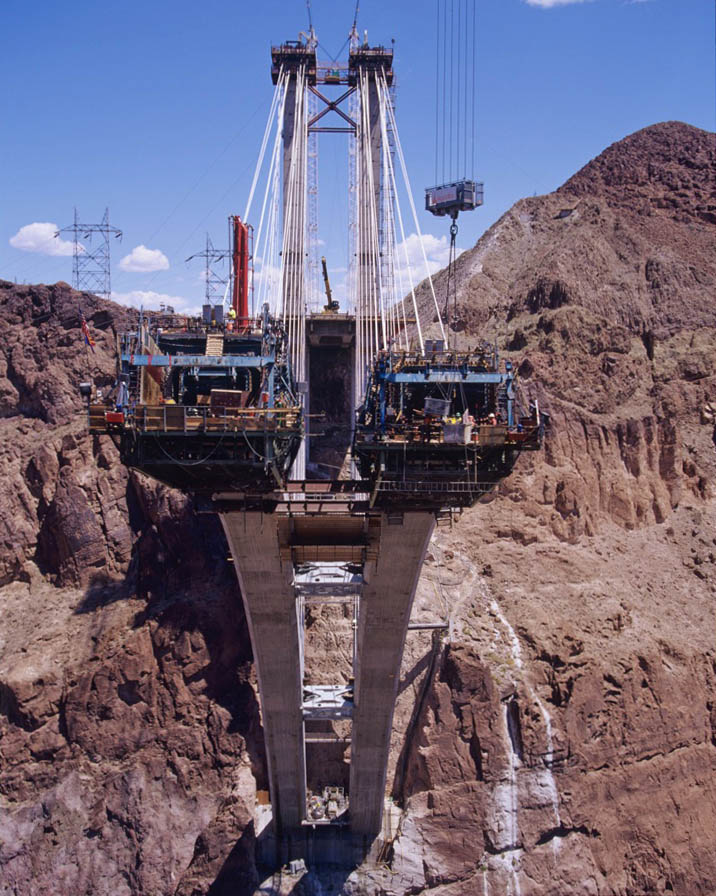
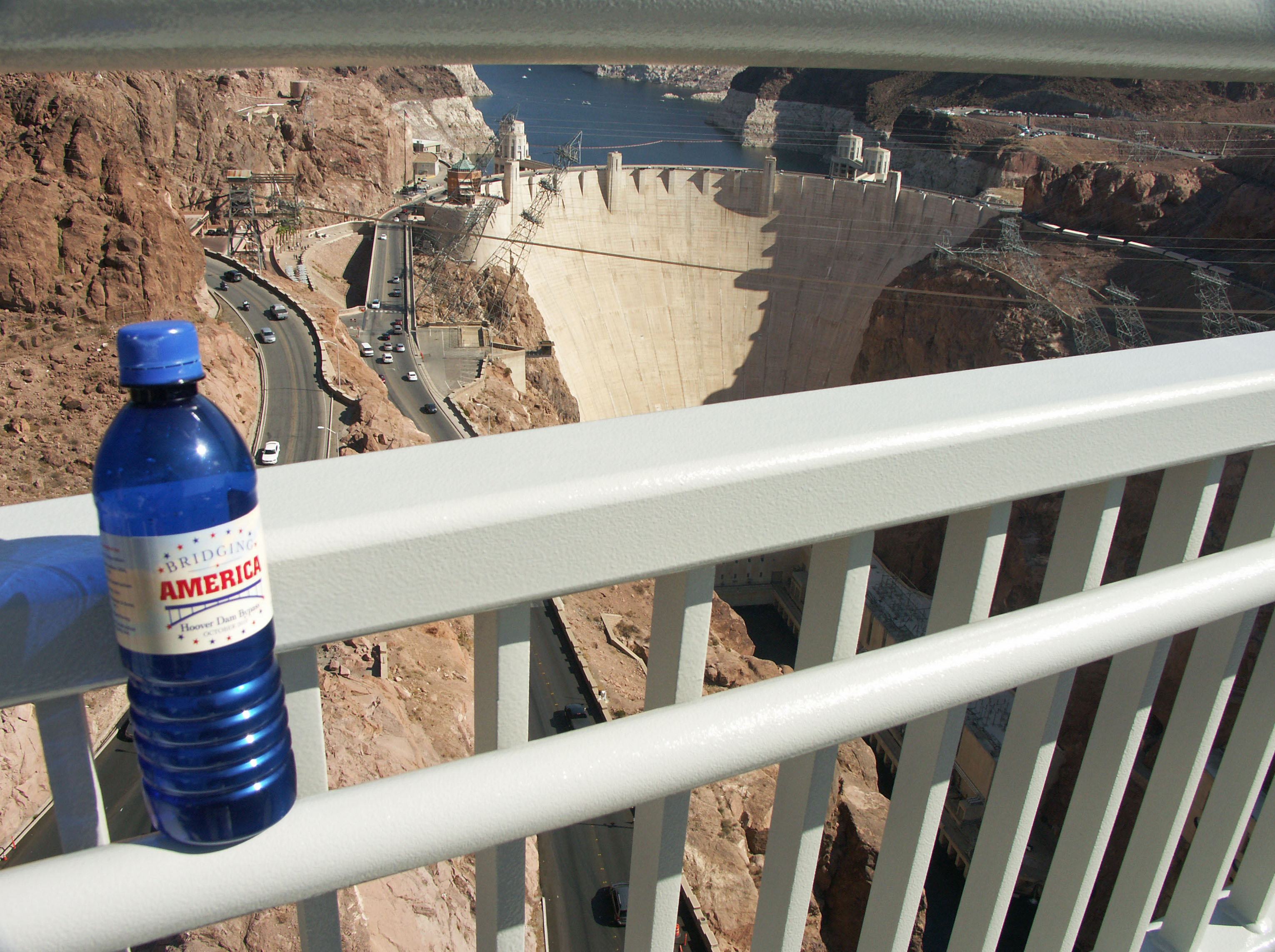
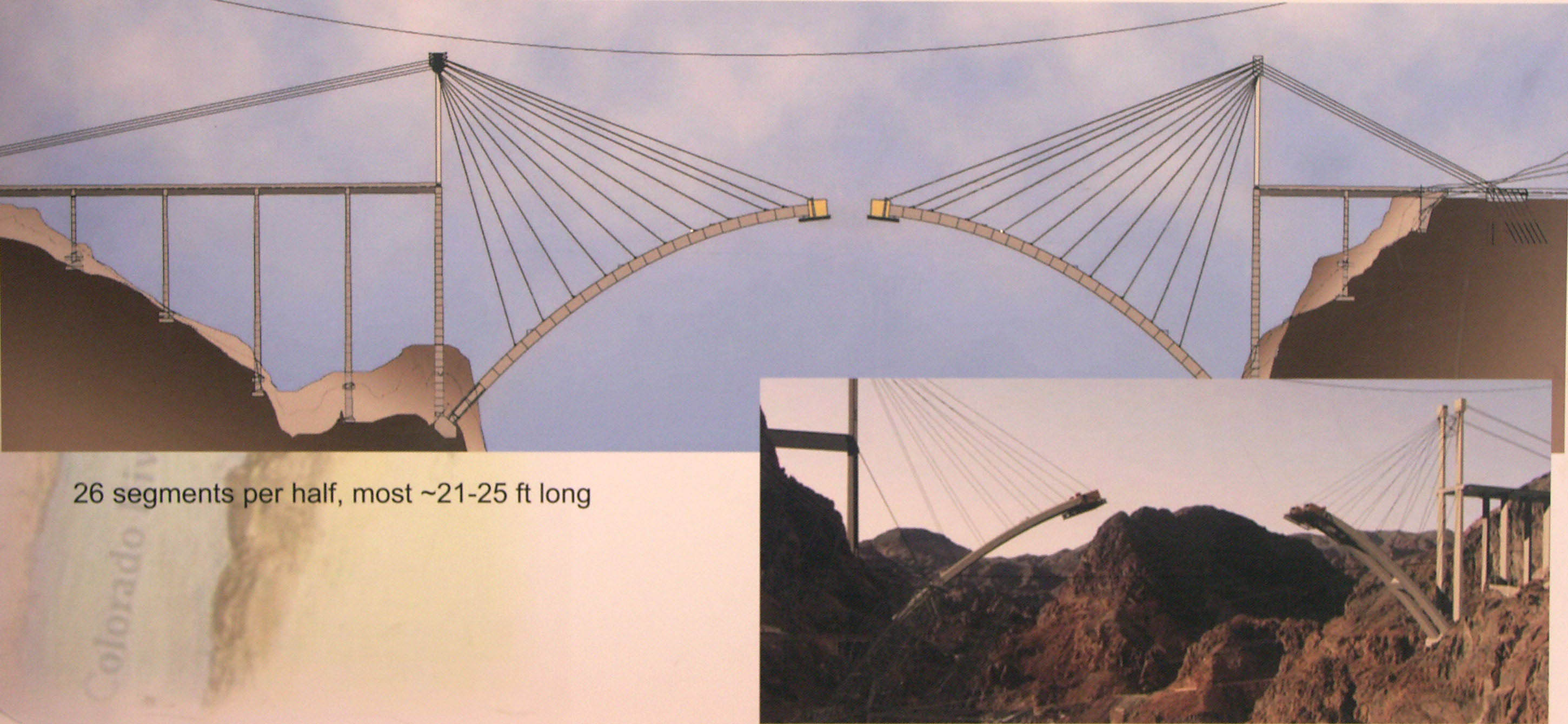
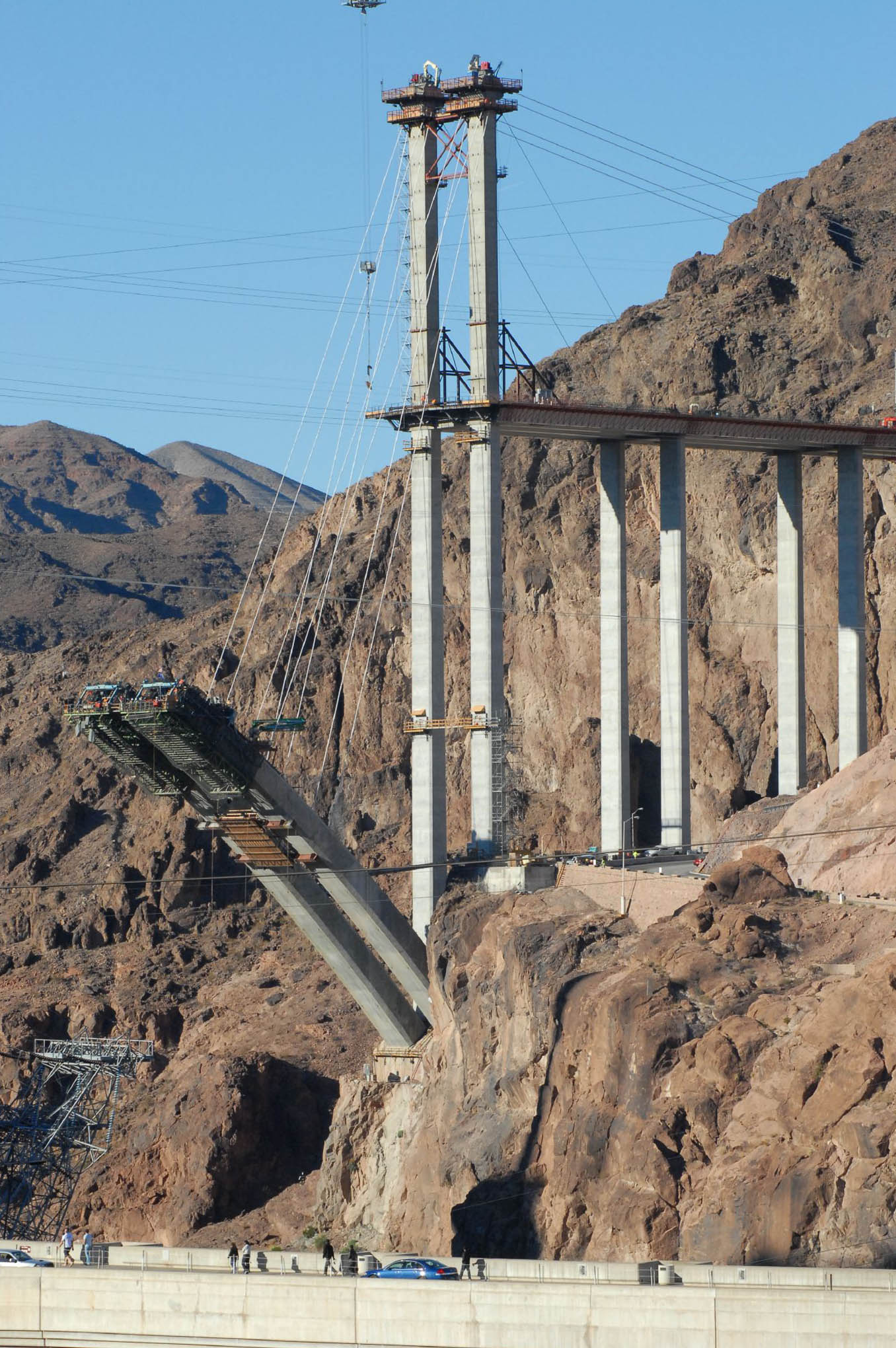
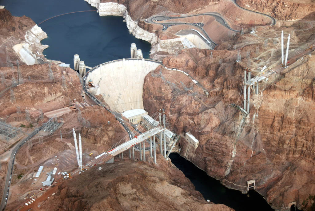
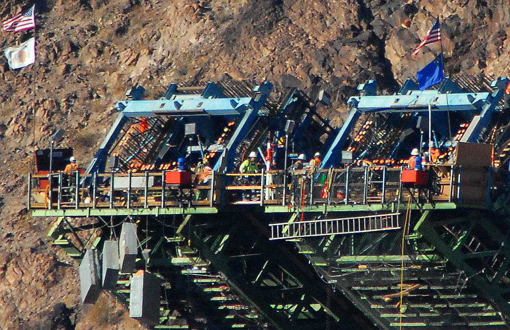
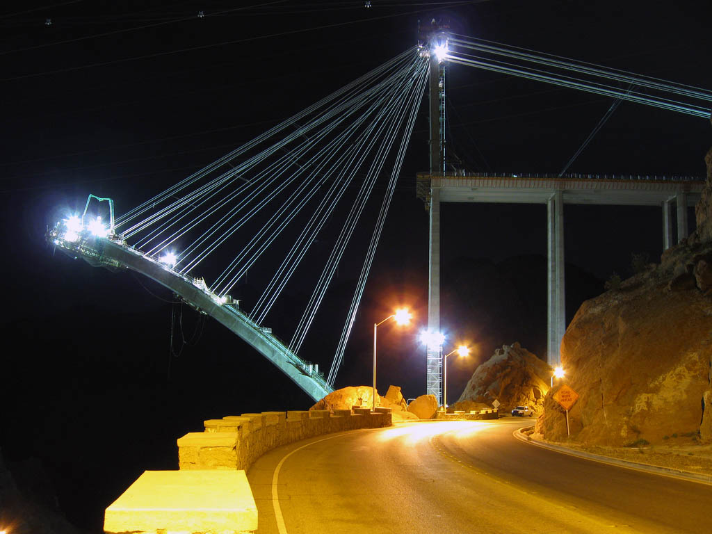
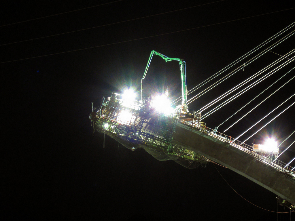
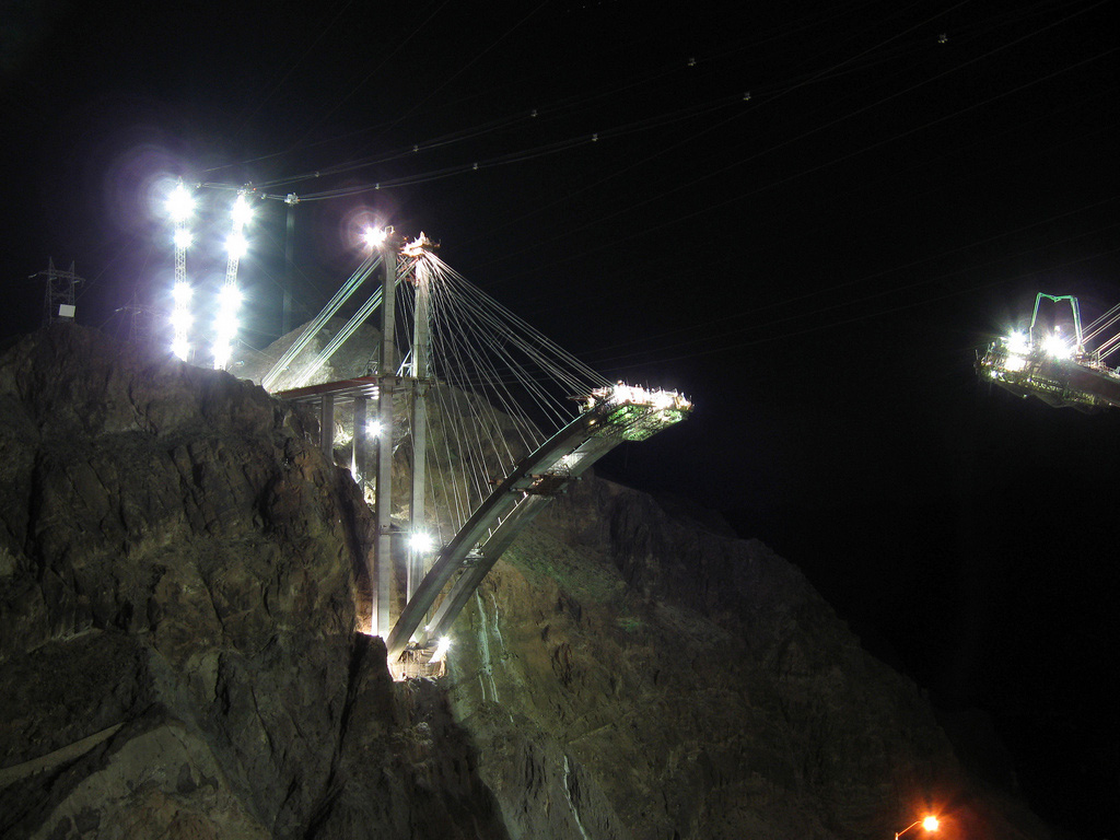
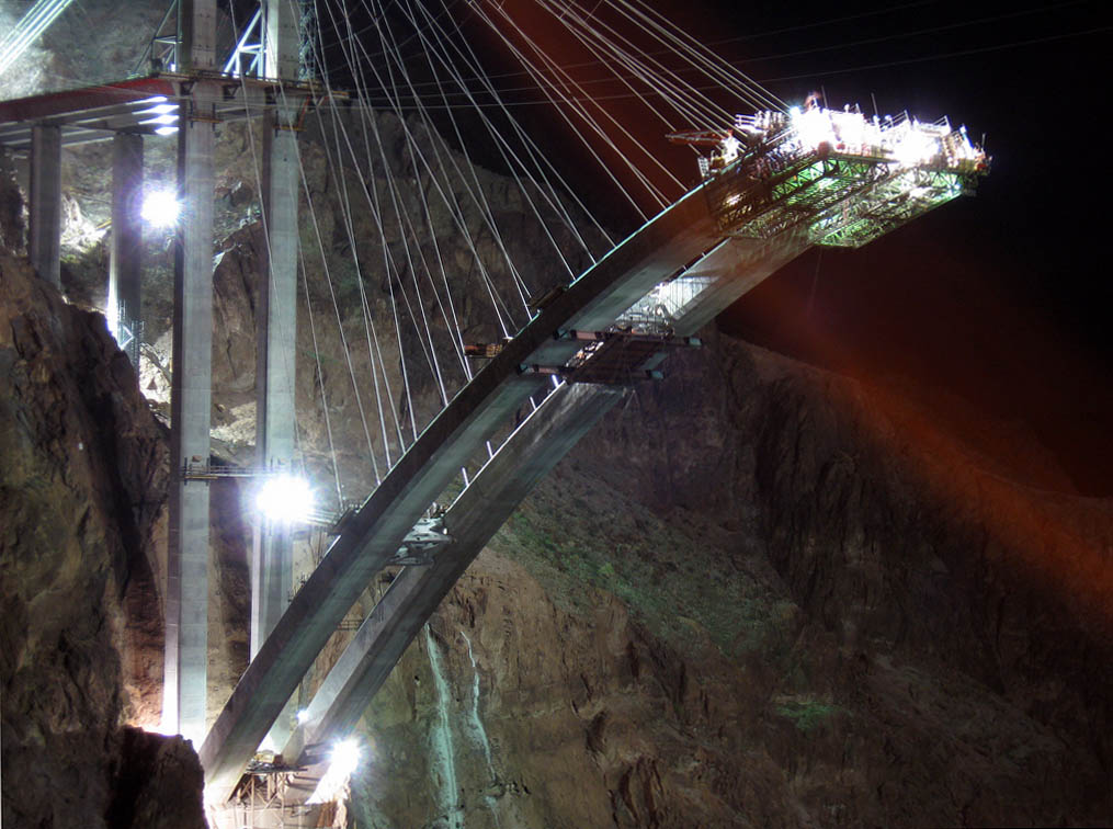
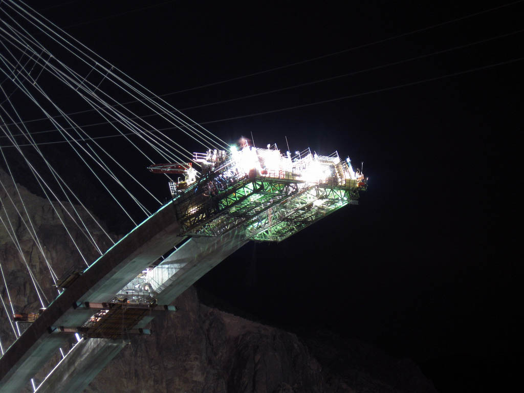
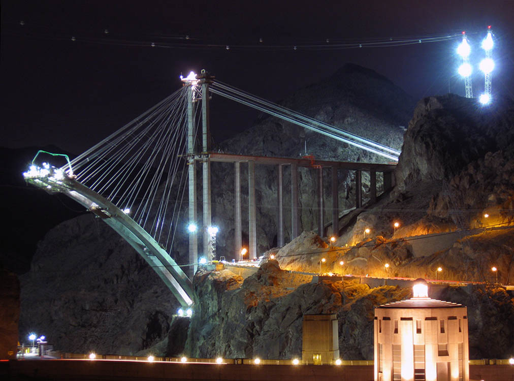
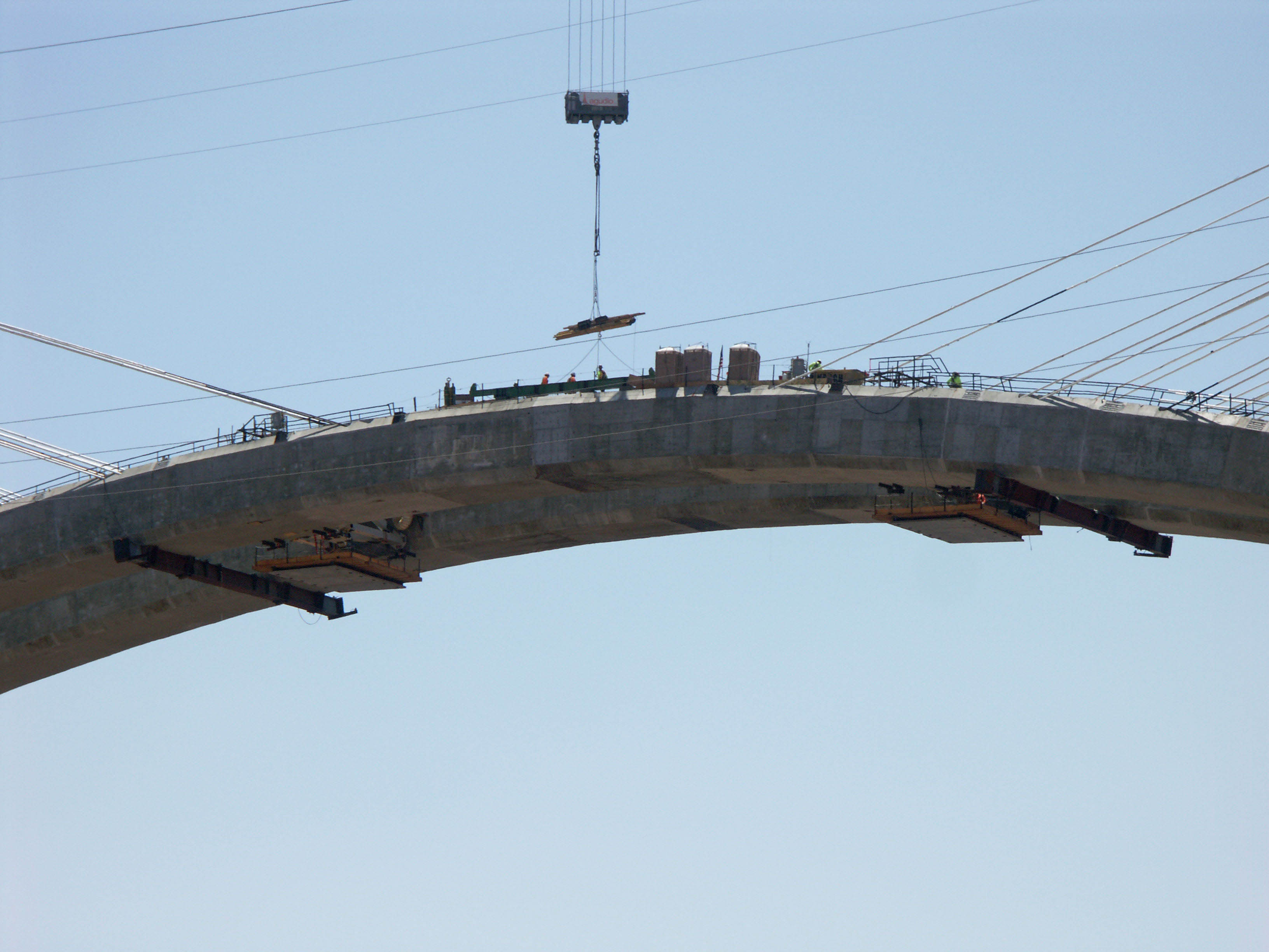
The 4 massive ribs were built with 4 form travelers. Temporary stays held the arch segments in place as they rose from the abutments. Since the limits of the concrete curing could not exceed 155 degrees Fahrenheit, liquid nitrogen was injected into the mixing truck drums after batching. This reduced the temperature during the hotter months from 85 degrees to 40 degrees. The project had its biggest construction setback on September 15, 2006 when all four of the 50-ton high line cable towers collapsed from high winds. The mishap delayed erection of the arch by nearly two years before a newly designed highline was built. The pier sections and pylons for the bridge were all built off site and trucked in while the arch rib sections were cast in 24 foot (7 mtr) increments and were suspended over the canyon with cable stays until the two sides of the arch could be closed at the crown. The best design trait of all might well have been the simple decision to include a walkway on the north side of the bridge. From here the majesty of the Hoover Dam can finally be seen straight on from a vantage point normally reserved for planes or helicopters.
Since the bridge crosses a state line, the construction was undertaken by the Arizona and Nevada Department of transportations along with several private contractors including T.Y. Lin International, Sverdrup Civil, Edward Kraemer & Sons, R.E. Monks Construction, Vastco, Obayashi Corp and PSM Construction USA.
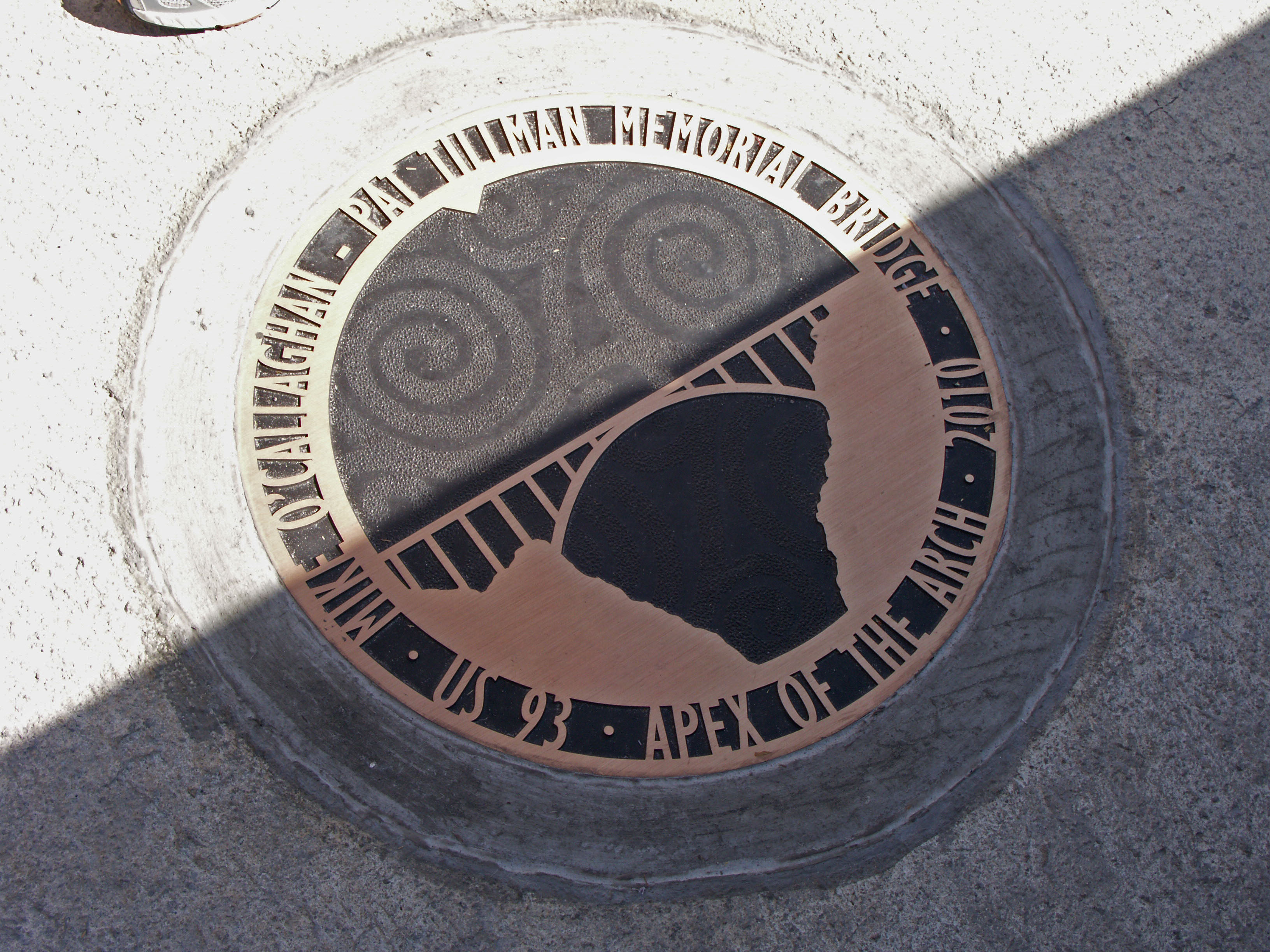
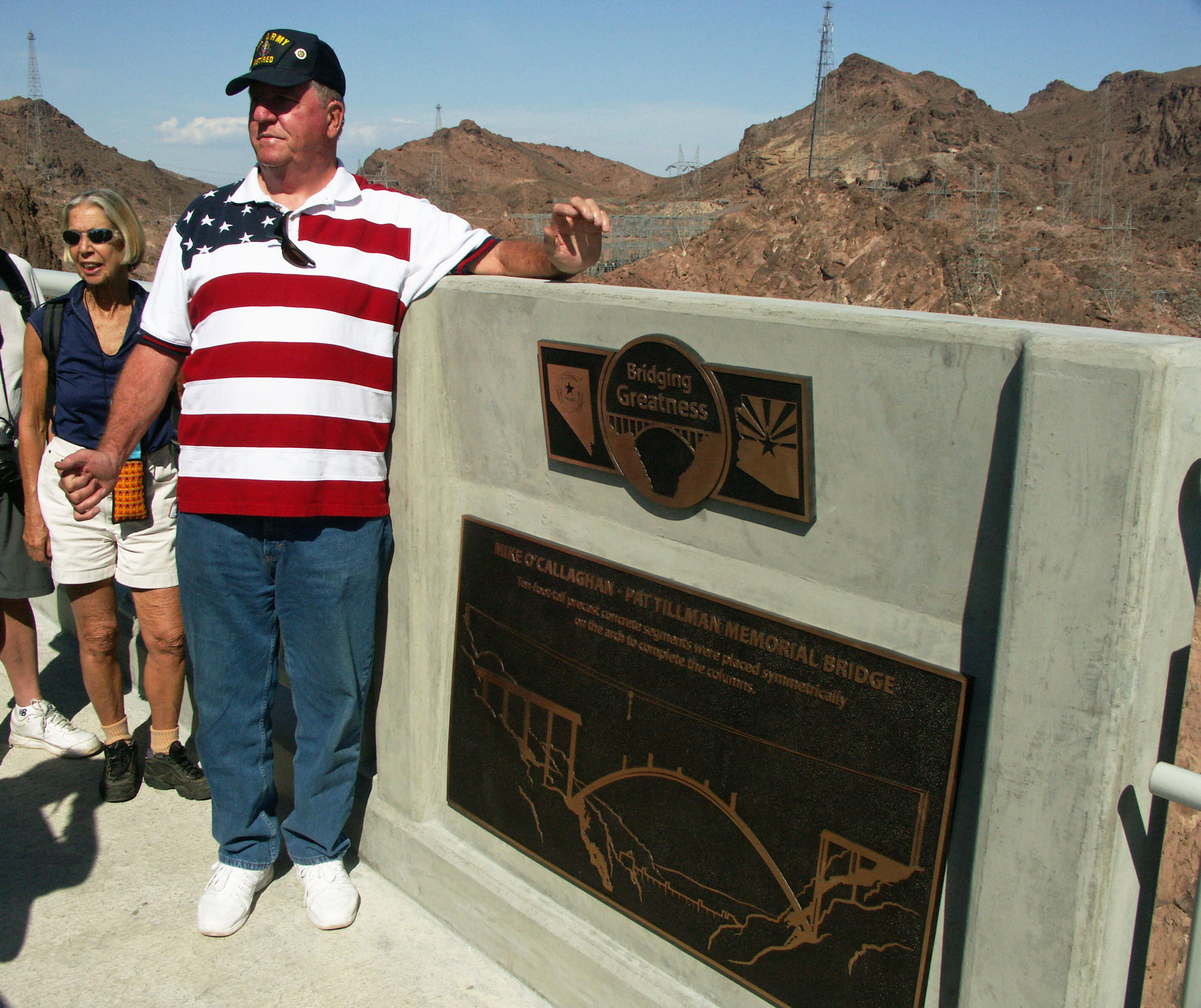
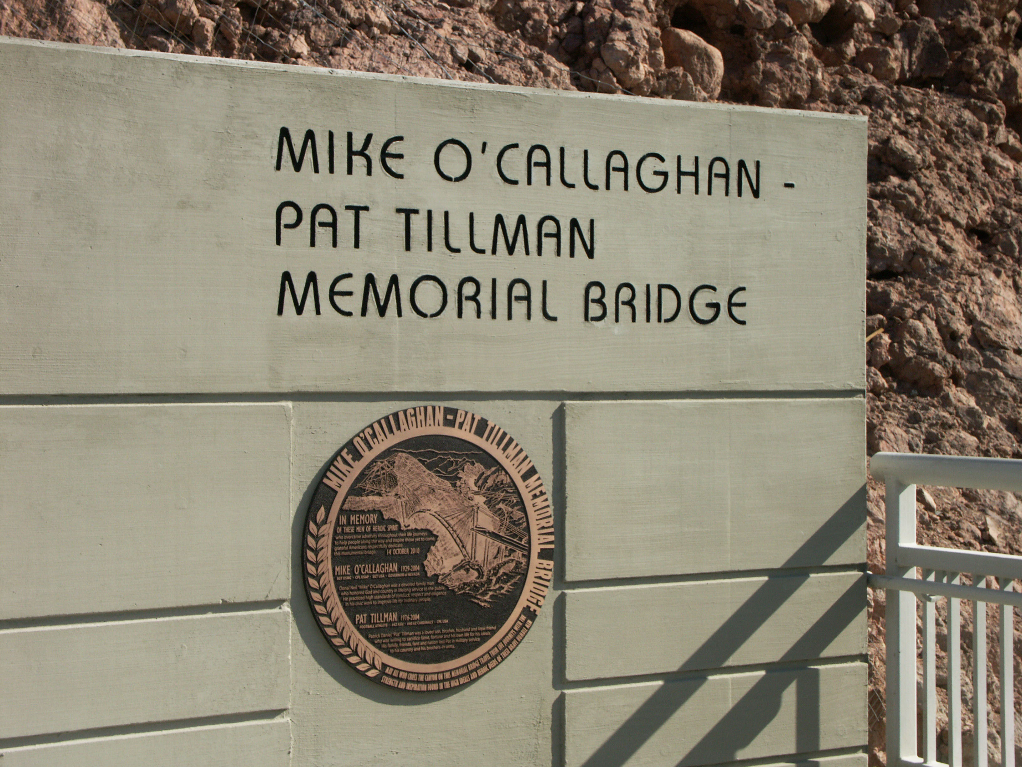
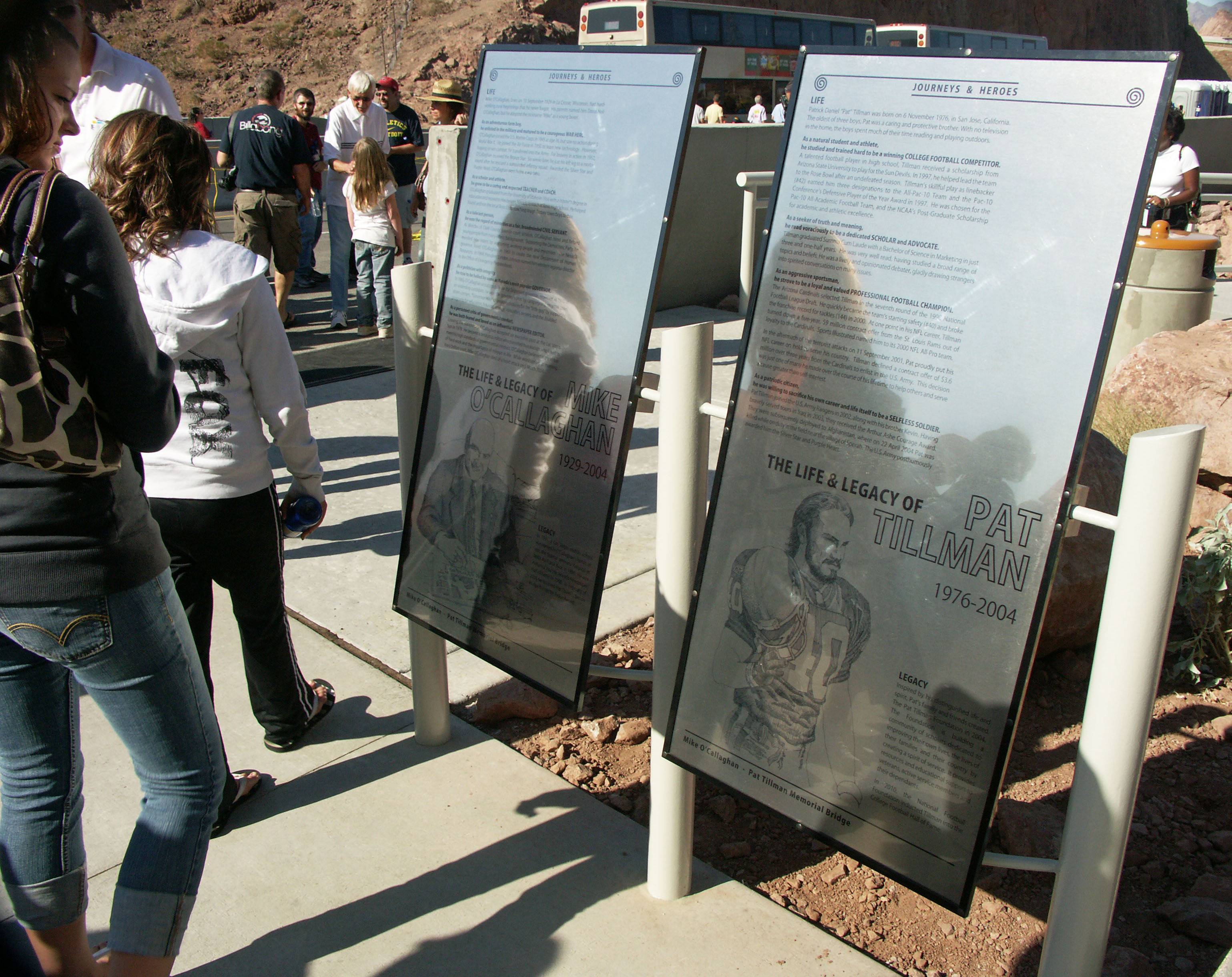
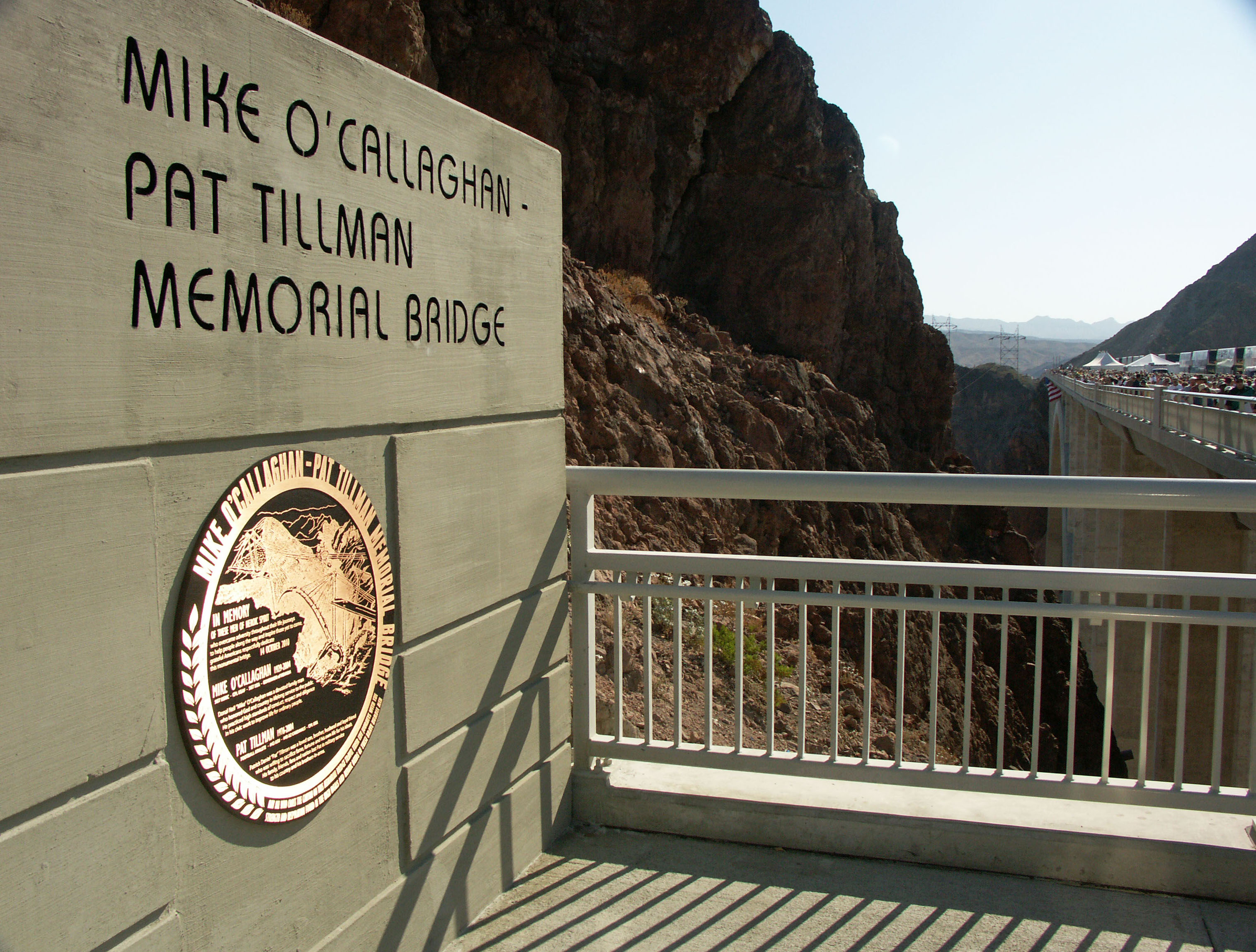
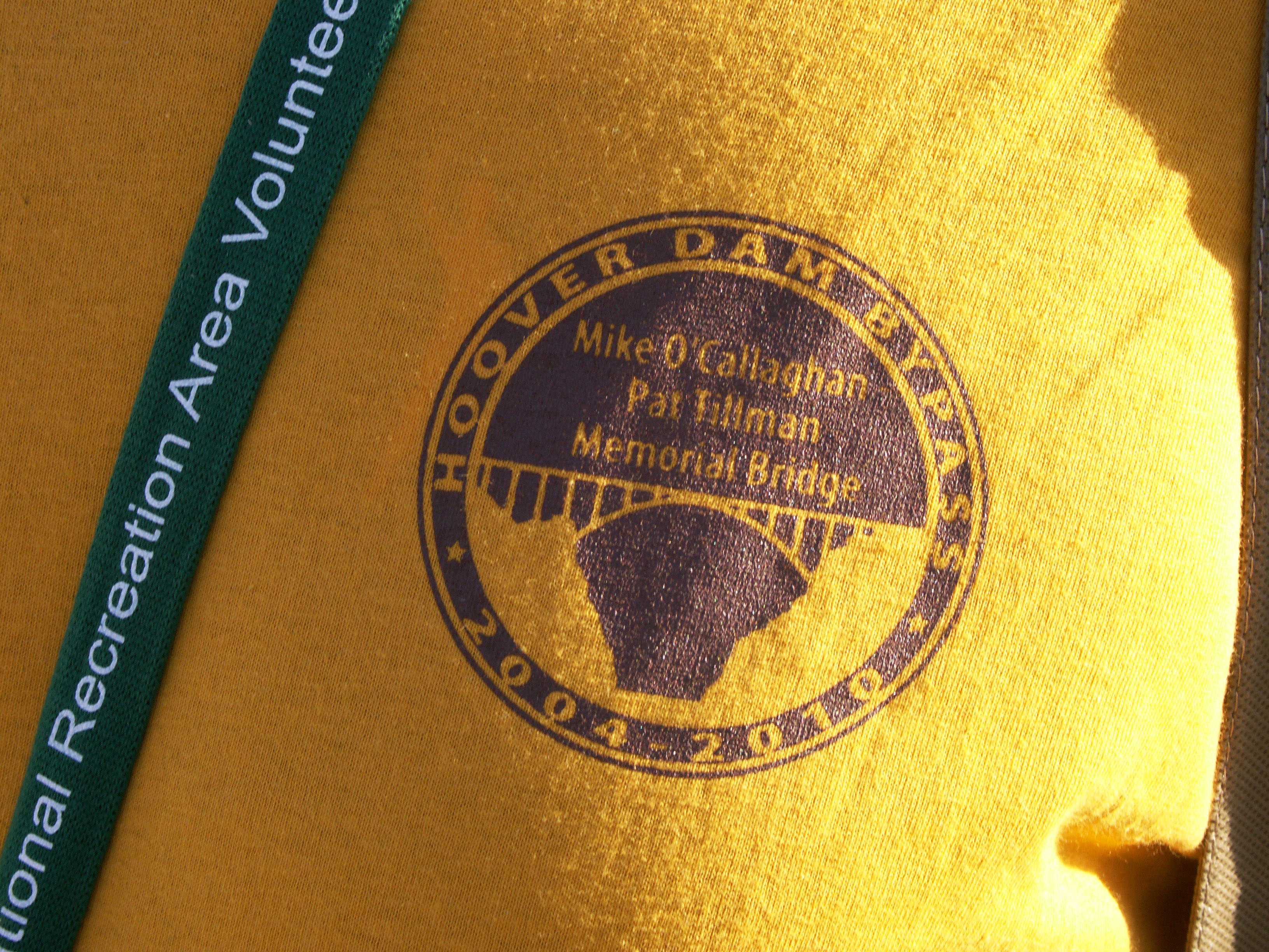
The bridge was officially named the Mike O’Callaghan-Pat Tilman Memorial bridge in 2004. Mike O’Callaghan was a former Nevada Governor from 1971 to 1979 and later became an editor of the Las Vegas Sun newspaper. Pat Tillman was an Arizona State University graduate who left a lucrative NFL football career to join the Army in 2002. He was killed in Afghanistan from a friendly fire incident in April of 2004 at the age of 27.
You can follow the entire history of the bridge from design to completion at the official website: http://www.hooverdambypass.org/default.htm
Image by Eric Sakowski / HighestBridges.com
Image by Eric Sakowski / HighestBridges.com
Image by Alan Stark
Image by Federal Highway Administration, Central Federal Lands Highway Division (FHWA/CFLHD)
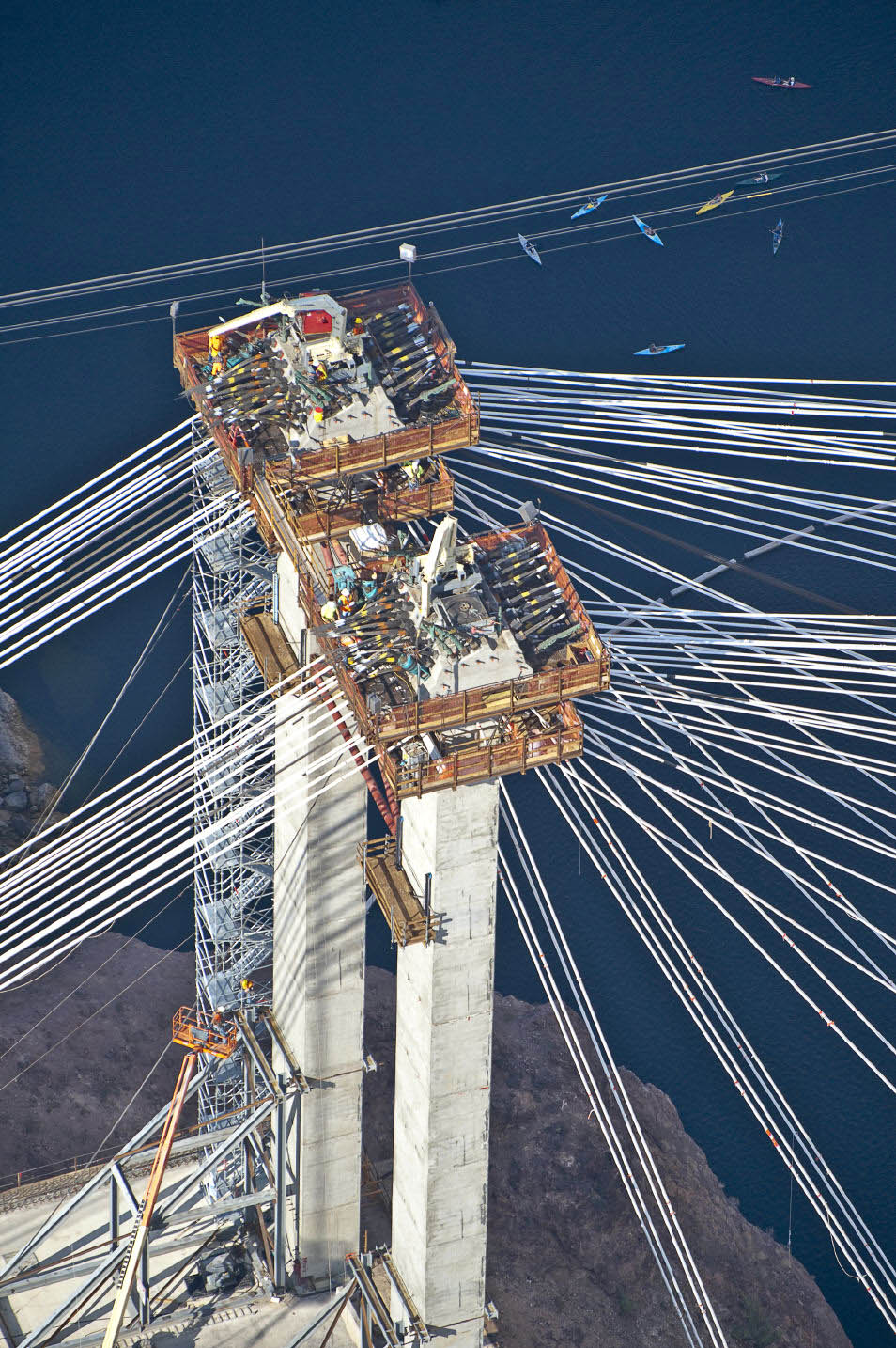
The dozens of criss-crossing cable stay anchorage sockets temporarily held the weight of the two arch halves above the river gorge. Kayakers float more than a thousand feet below.
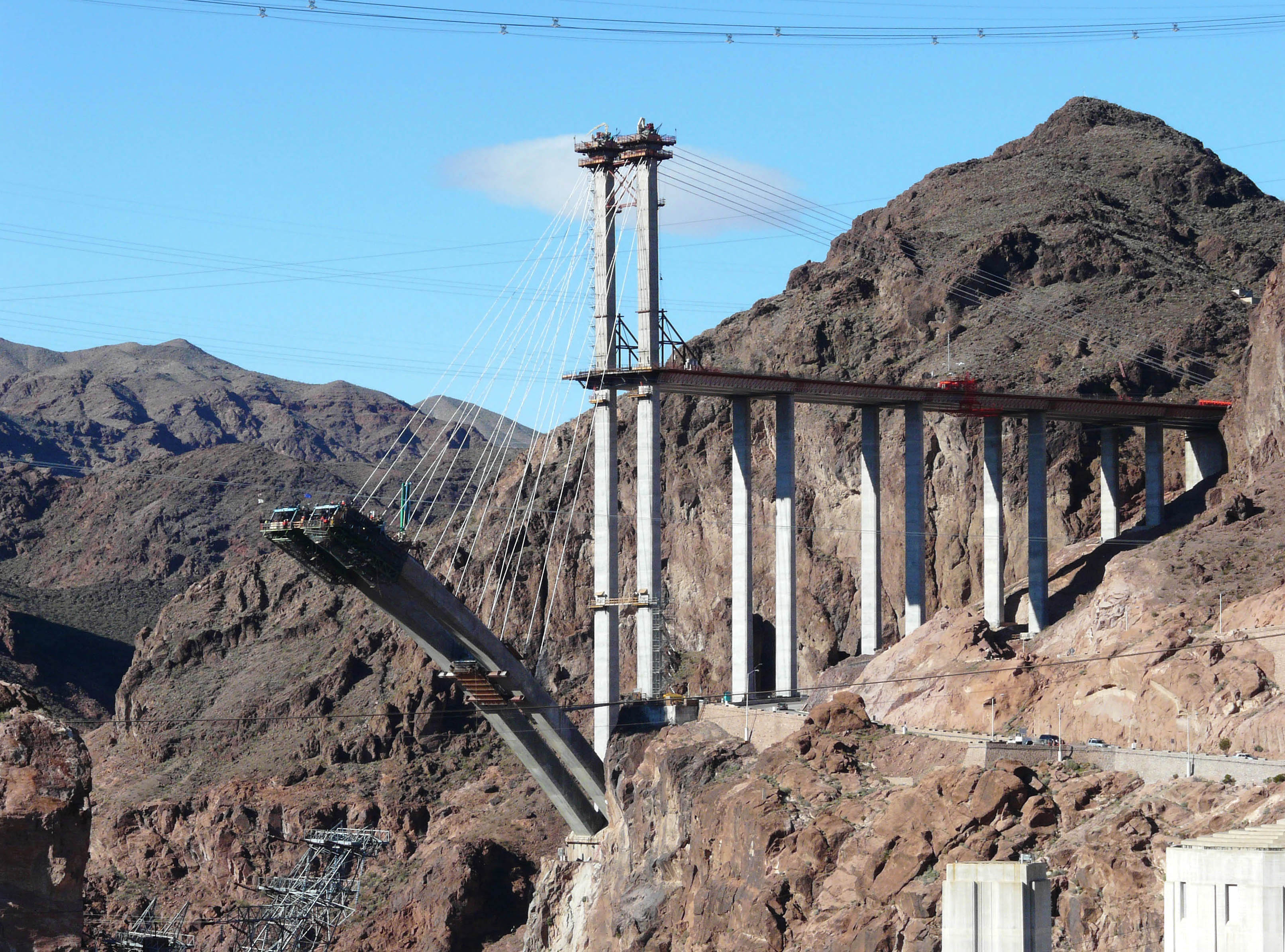
Temporary pylons rose 155 feet (47 meters) above the road deck to support the arch cable stays. Image by Brian Sisk
Image by Monkeys Mumsie
Image by Eric Sakowski / HighestBridges.com
West side approach with 120 foot (36.5 mtr) spans. Image by Steven Miller
Image by Steven Miller
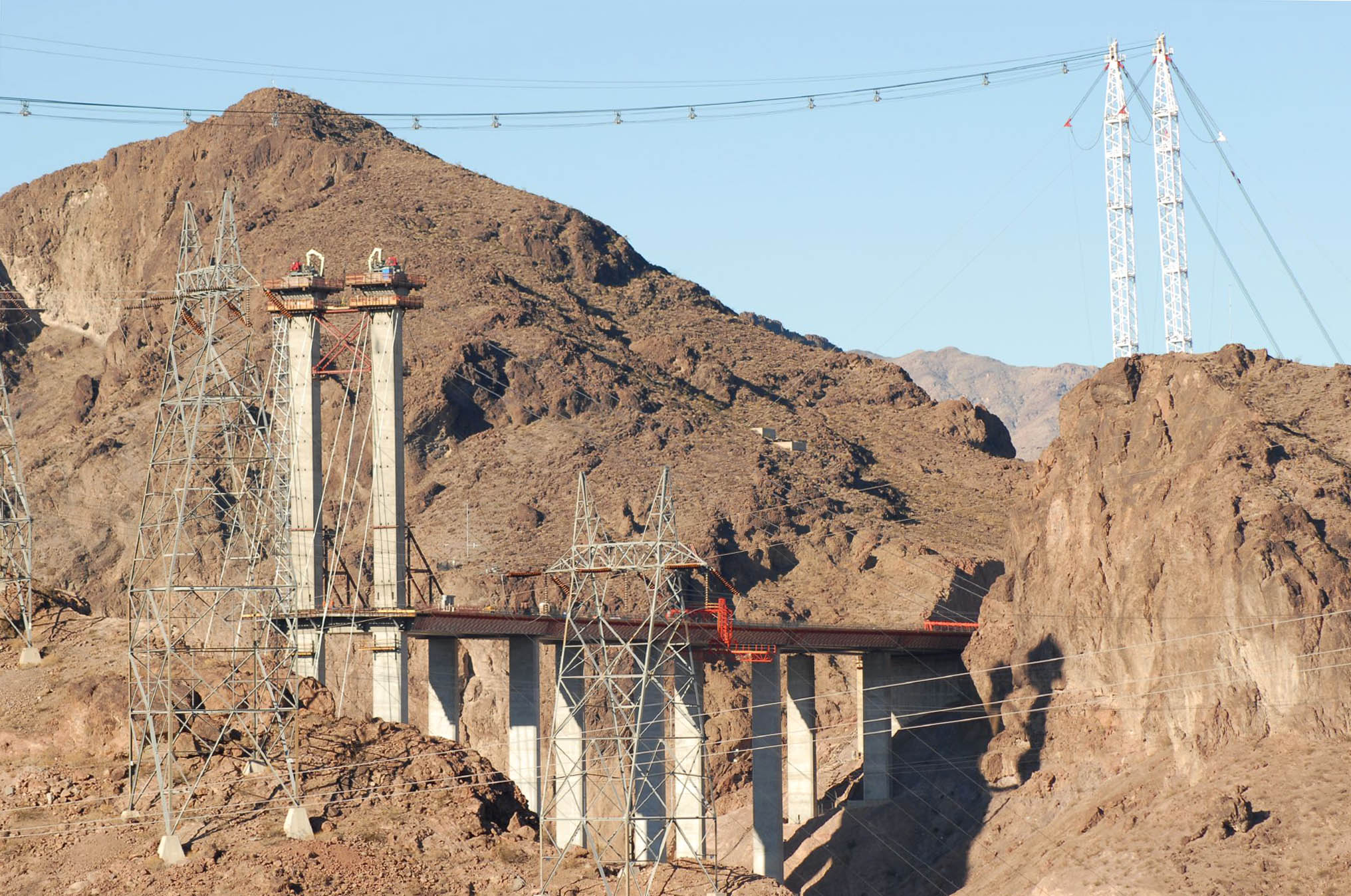
The new highline towers were completed in August of 2007 after the original towers collapsed in high winds on September 15th, 2006. They stood 335 feet (102 meters) high. Image by Steven Miller
Image by Federal Highway Administration, Central Federal Lands Highway Division (FHWA/CFLHD)
Image by Eric Sakowski / HighestBridges.com
Upon its completion in 2012, Mexico's Baluarte Bridge will soar much higher then the Hoover Dam Bypass Bridge with a deck 1,280 feet high.
China's Jiangjiehe Bridge was previously the highest concrete arch bridge in the world
West Virginia's New River Gorge Bridge is now the third highest bridge in the United States.
Highest Colorado River Arch Bridges
Navajo, Mike O'Callaghan-Pat Tillman and Glen Canyon Dam Bridge size comparison
Navajo is 470 feet (143 meters) high. Mike O'Callaghan-Pat Tillman is 890 feet (271 mtrs) high. Glen Canyon Dam is 690 feet (210 mtrs) high.
An early construction view with the original highline towers before they collapsed. Image by Federal Highway Administration, Central Federal Lands Highway Division (FHWA/CFLHD)
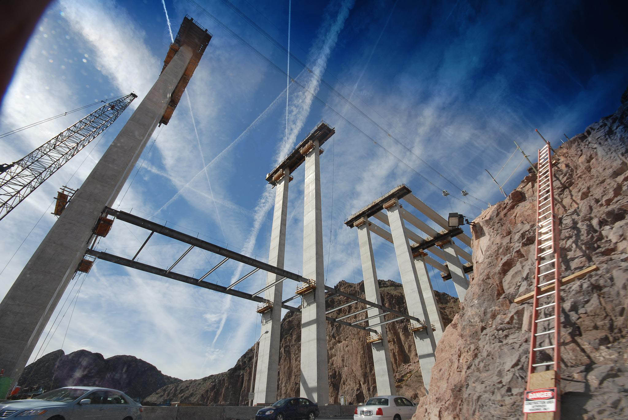
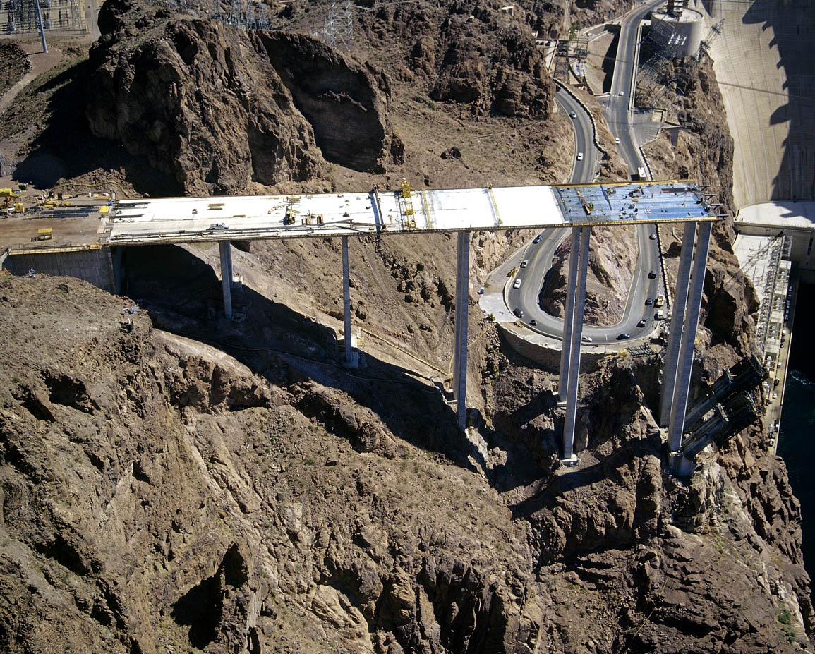
The west approach is 328 feet (100 meters) high. Image by Federal Highway Administration, Central Federal Lands Highway Division (FHWA/CFLHD)
Two of the four form travelers used to create the two massive arch ribs. Image by Steven Miller
Image by Federal Highway Administration, Central Federal Lands Highway Division (FHWA/CFLHD)
Image by Federal Highway Administration, Central Federal Lands Highway Division (FHWA/CFLHD)
Dozens of cable stays supported the two arch halves as they grew longer and heavier. Image by Federal Highway Administration, Central Federal Lands Highway Division (FHWA/CFLHD)
Image by Federal Highway Administration, Central Federal Lands Highway Division (FHWA/CFLHD)
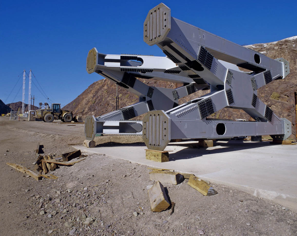
Several huge steel struts were placed at intervals between the two concrete ribs. Image by Federal Highway Administration, Central Federal Lands Highway Division (FHWA/CFLHD)
Image by Federal Highway Administration, Central Federal Lands Highway Division (FHWA/CFLHD)
Image by Federal Highway Administration, Central Federal Lands Highway Division (FHWA/CFLHD)
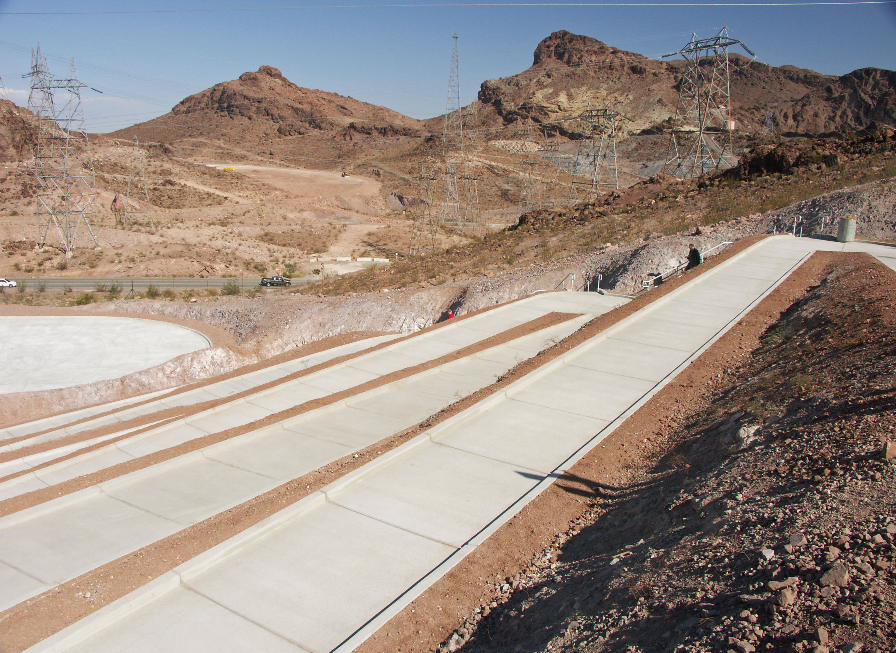
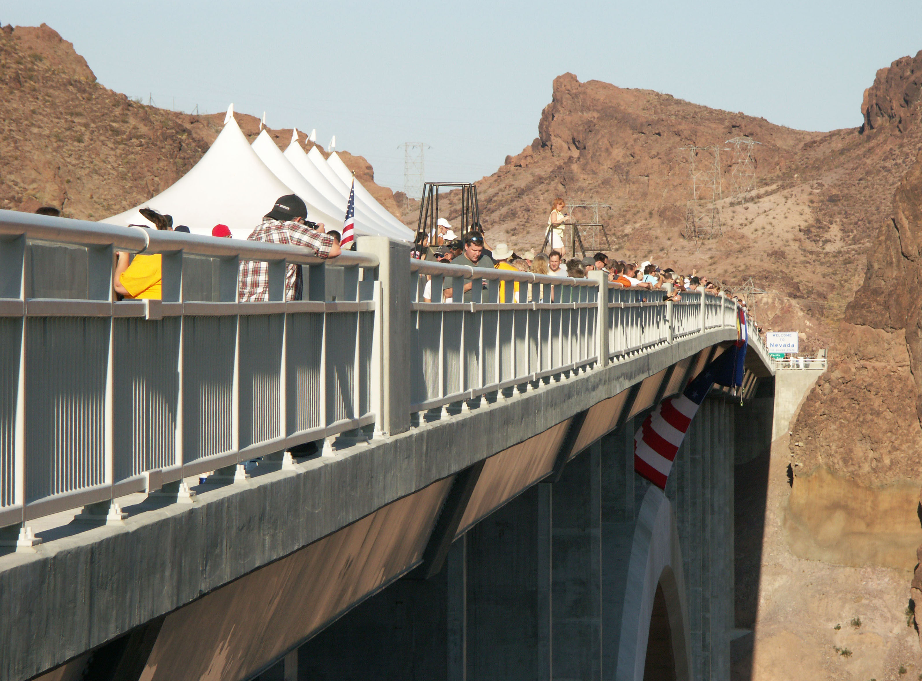
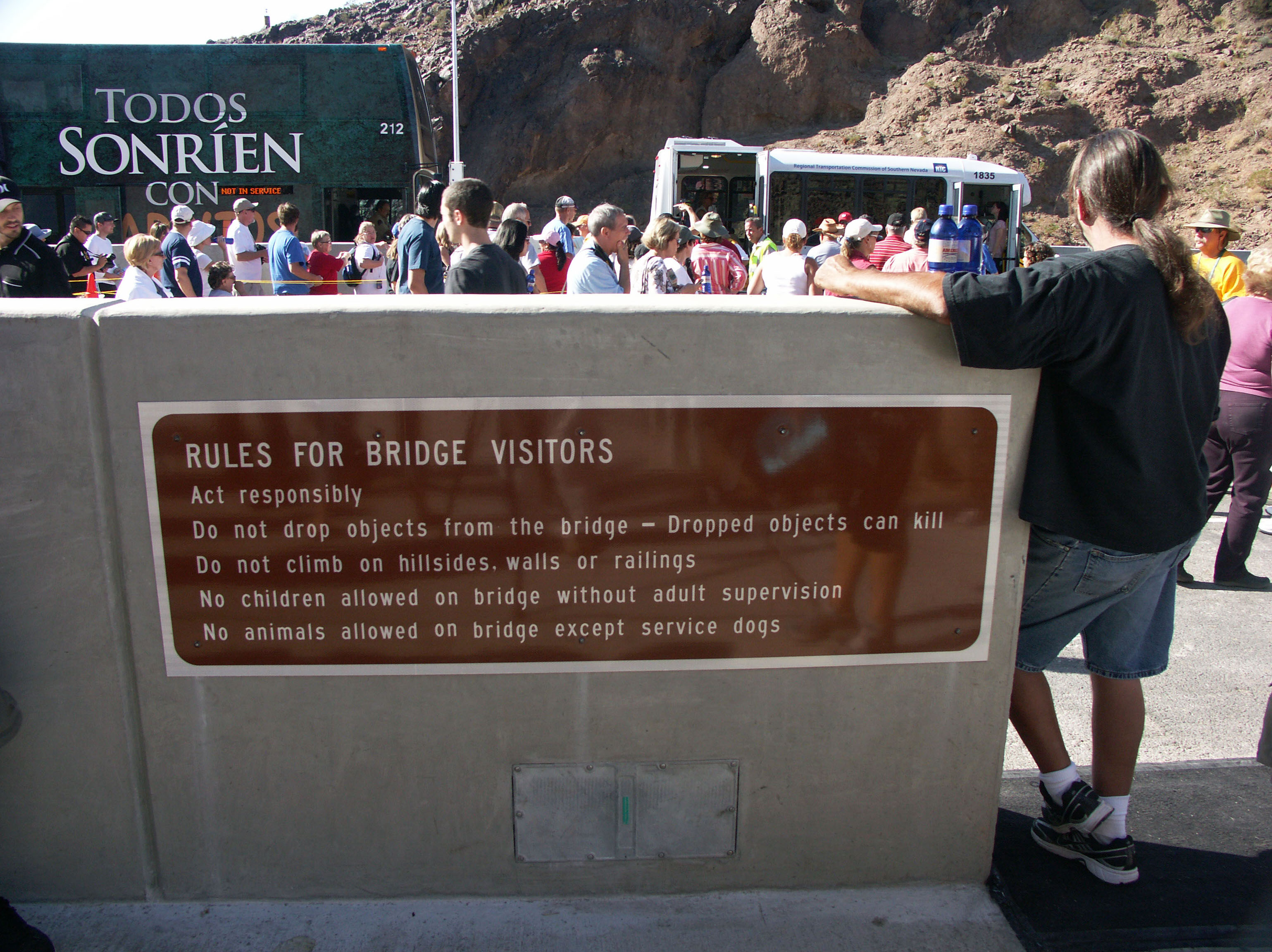
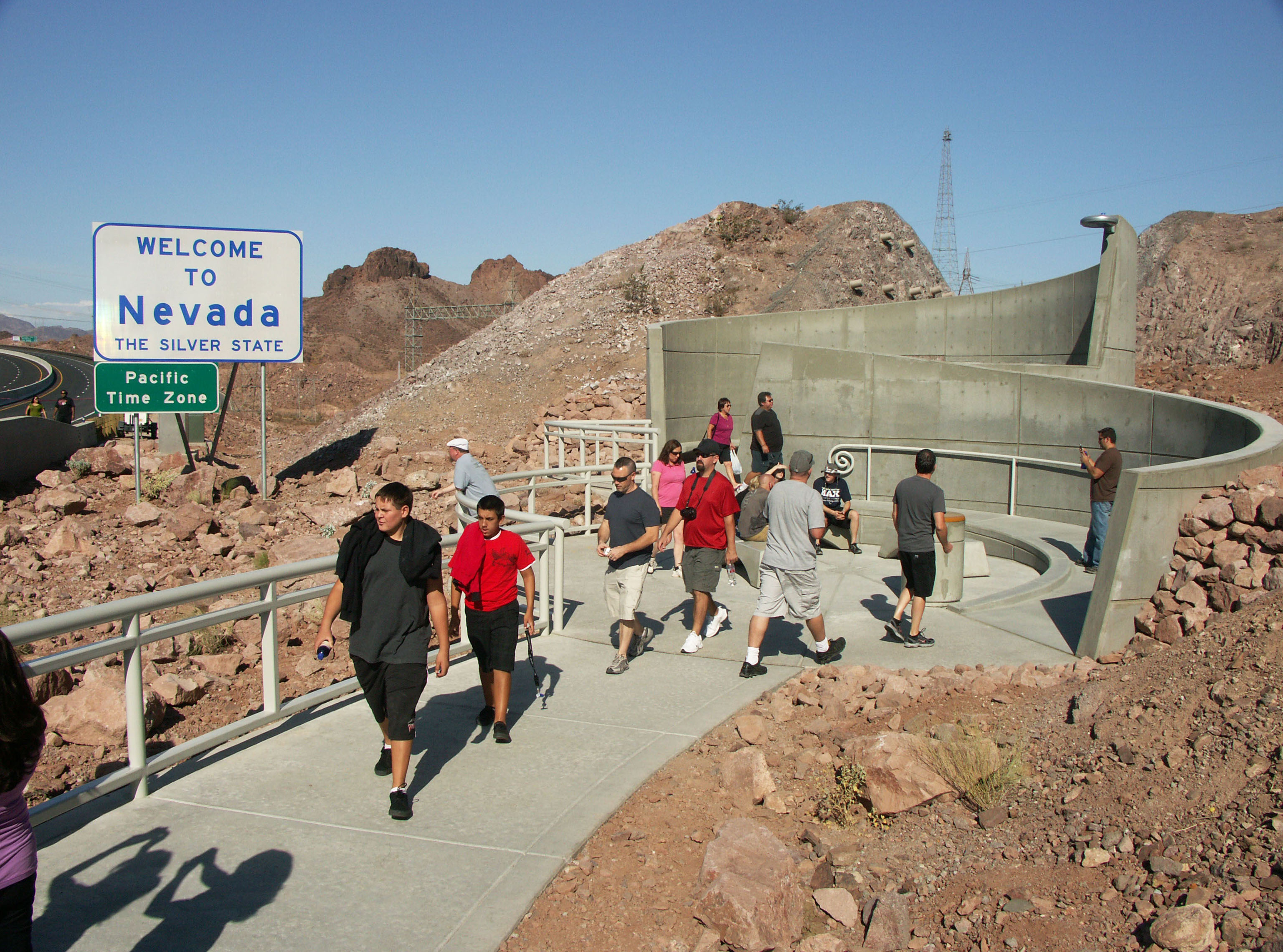
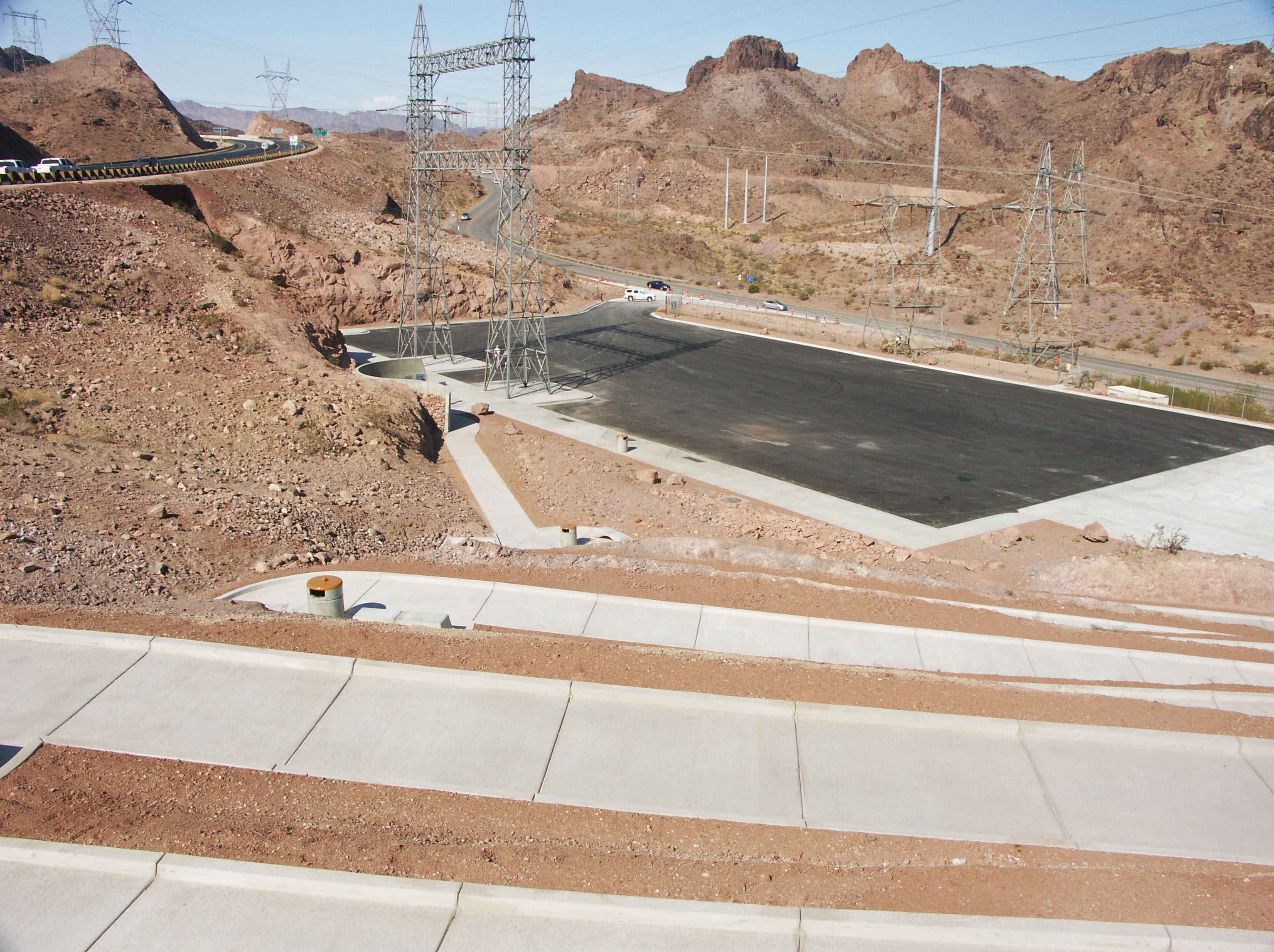
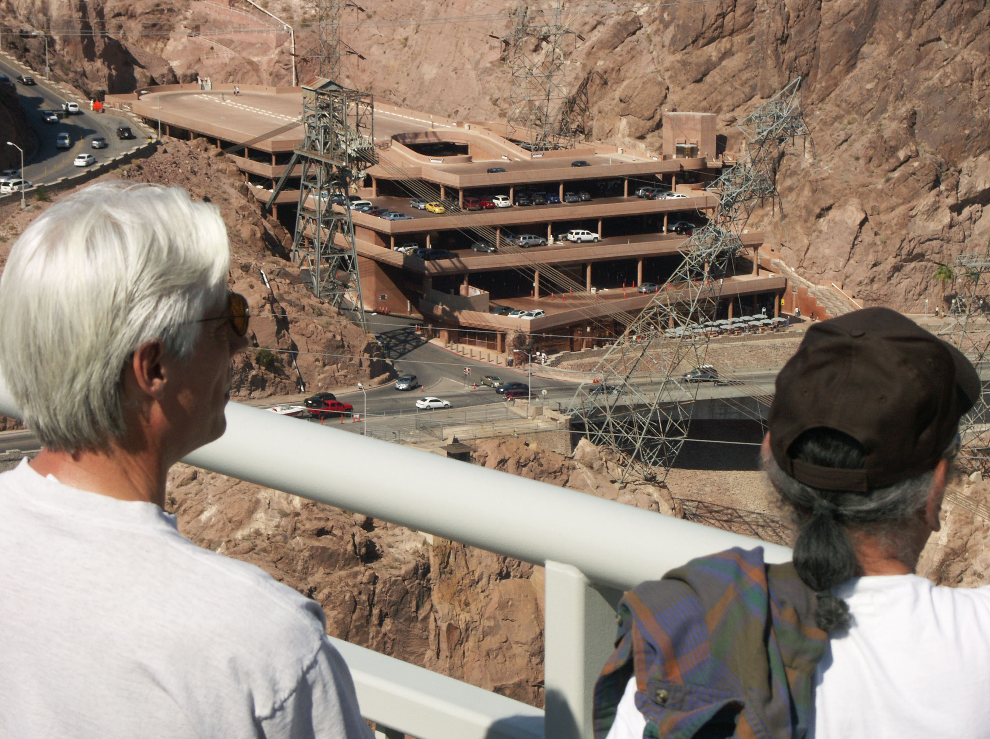
Switchbacks lead down into the bridge visitors parking area.
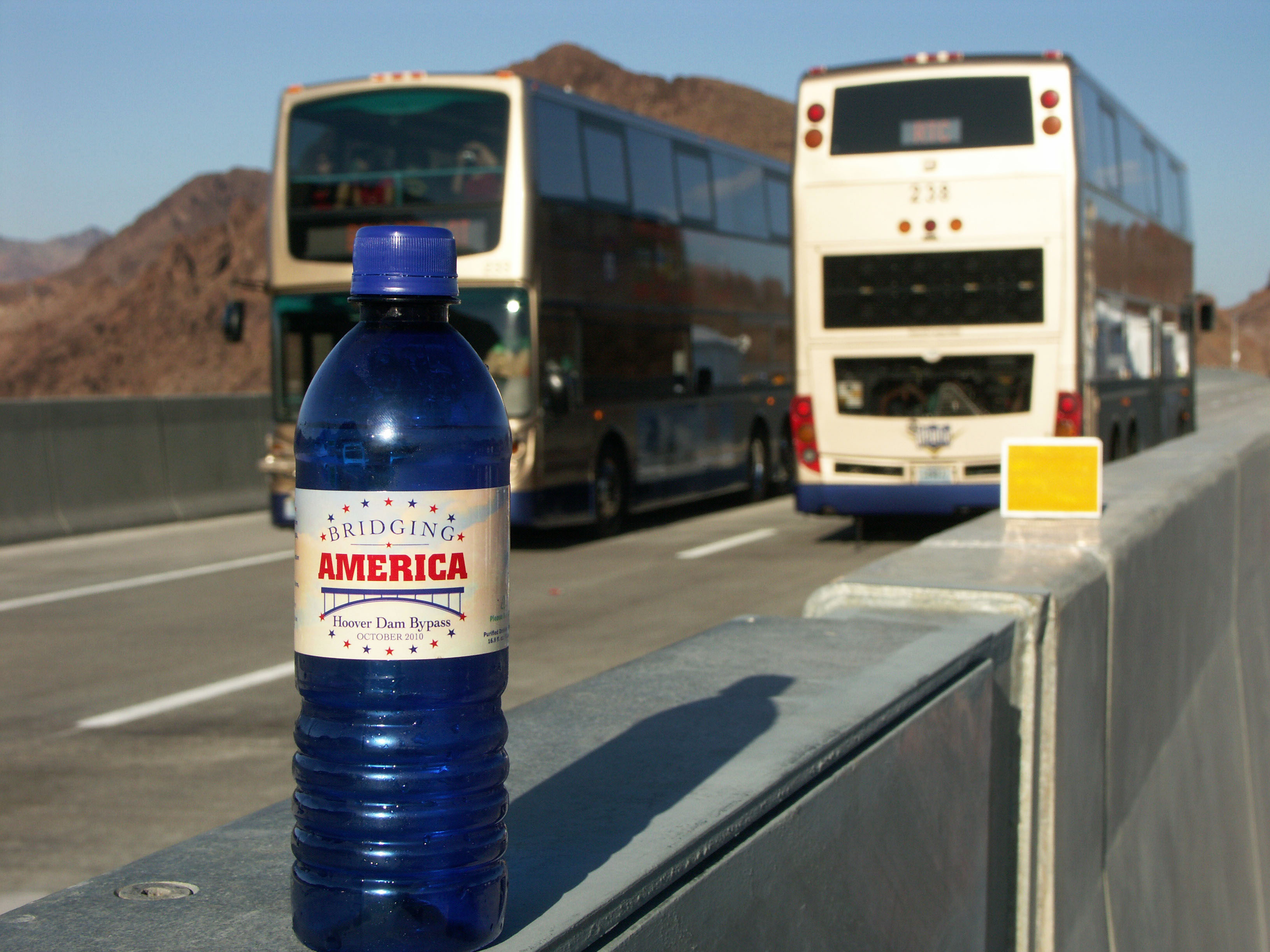
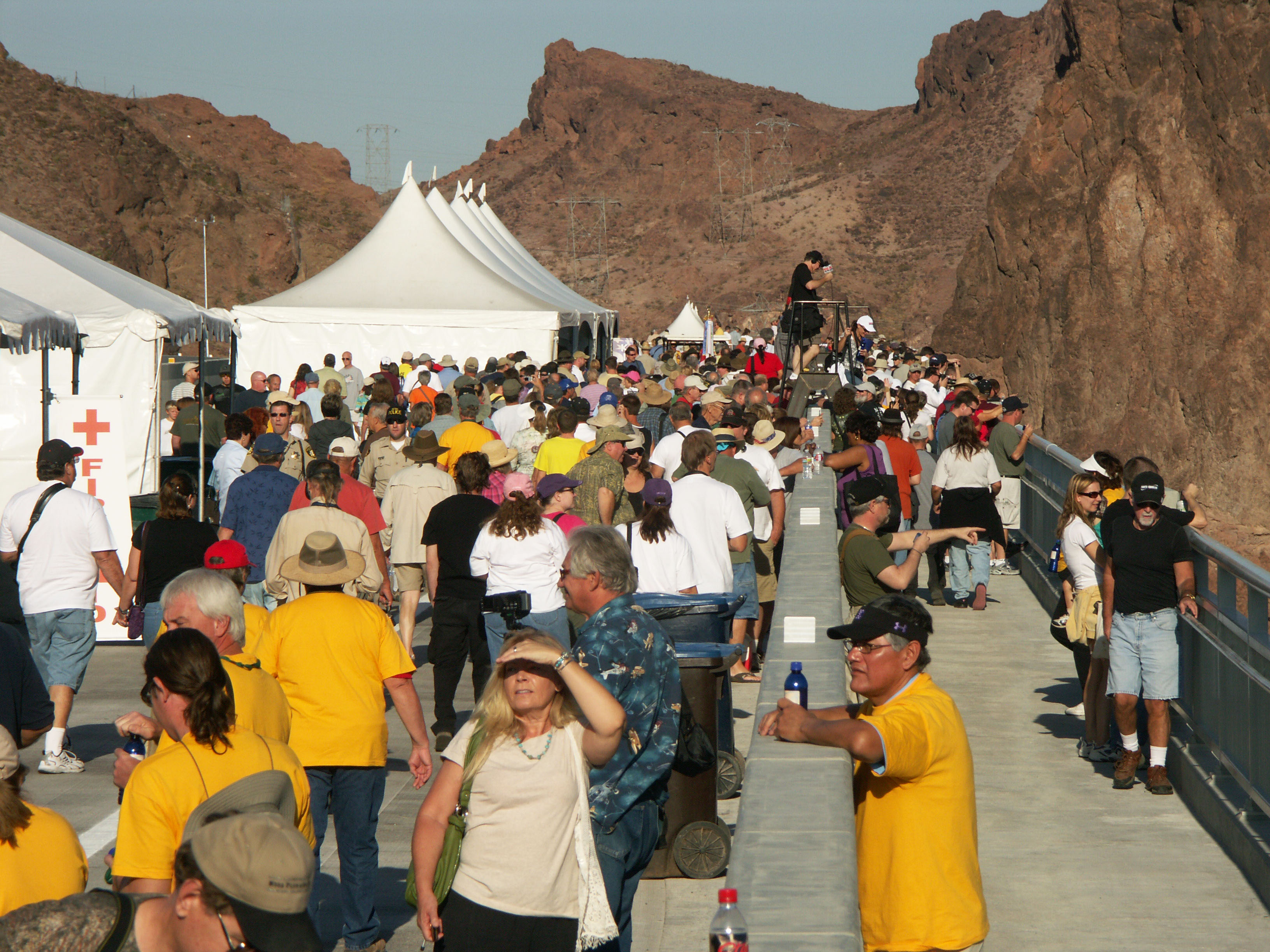
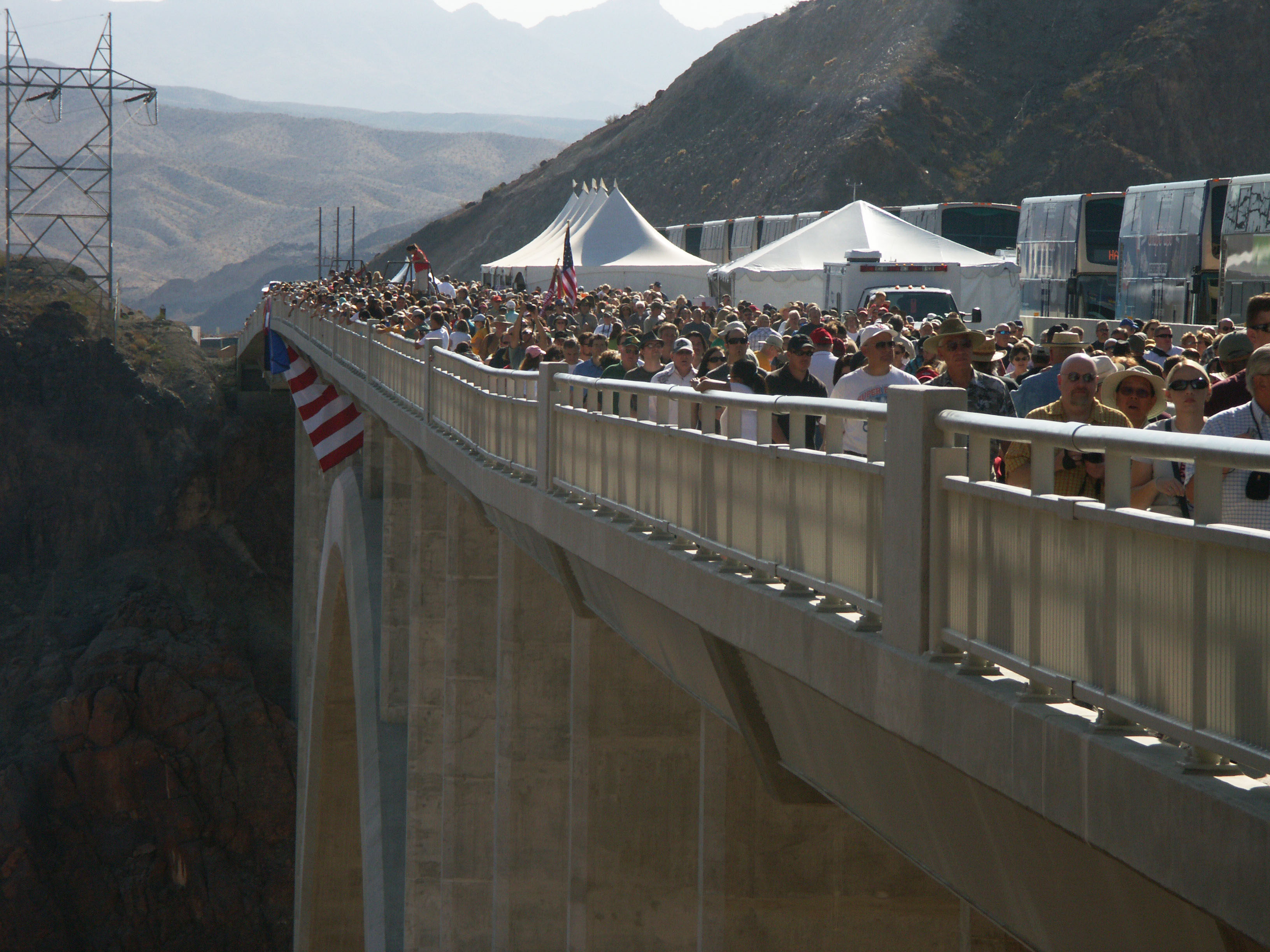
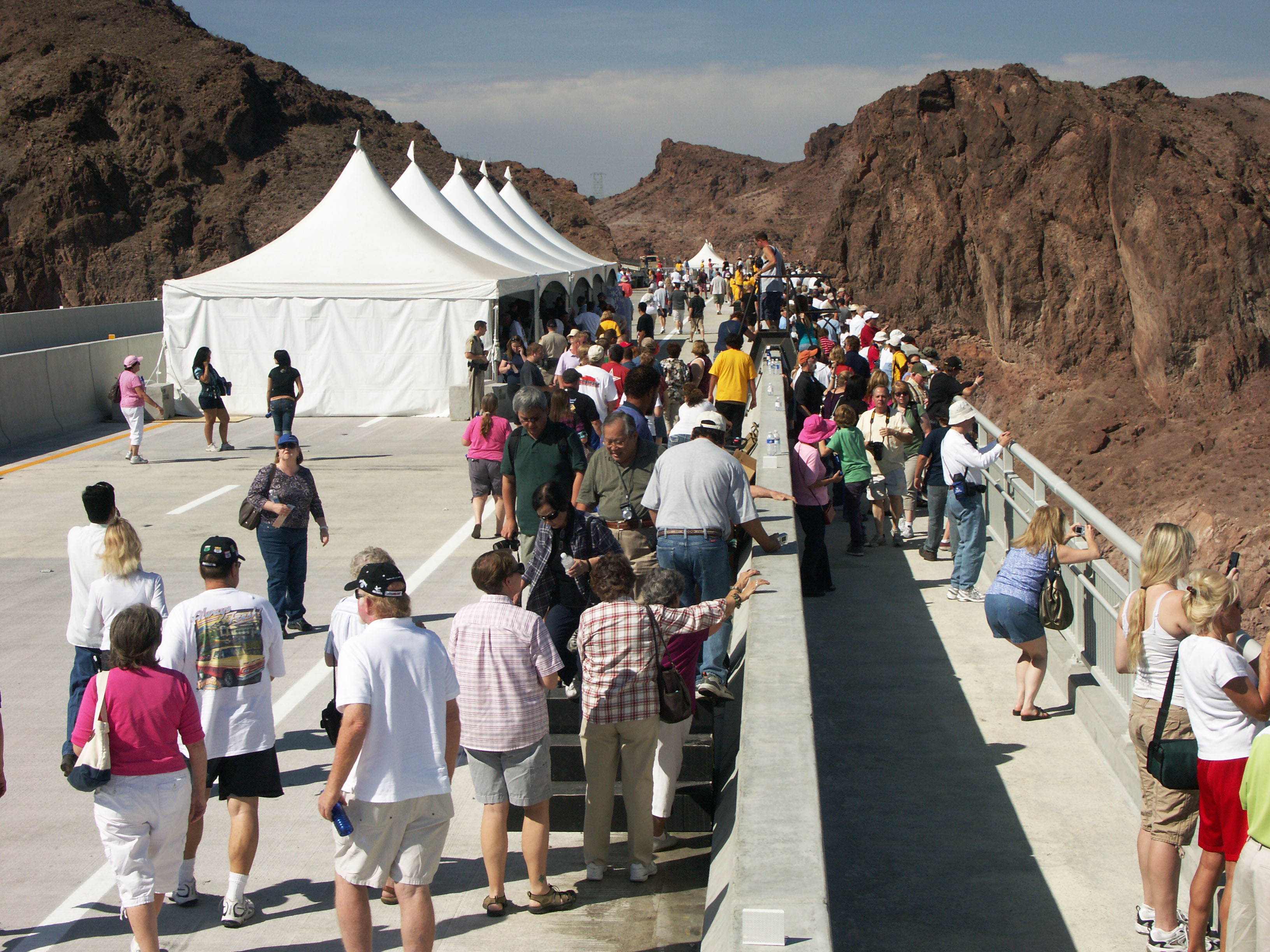
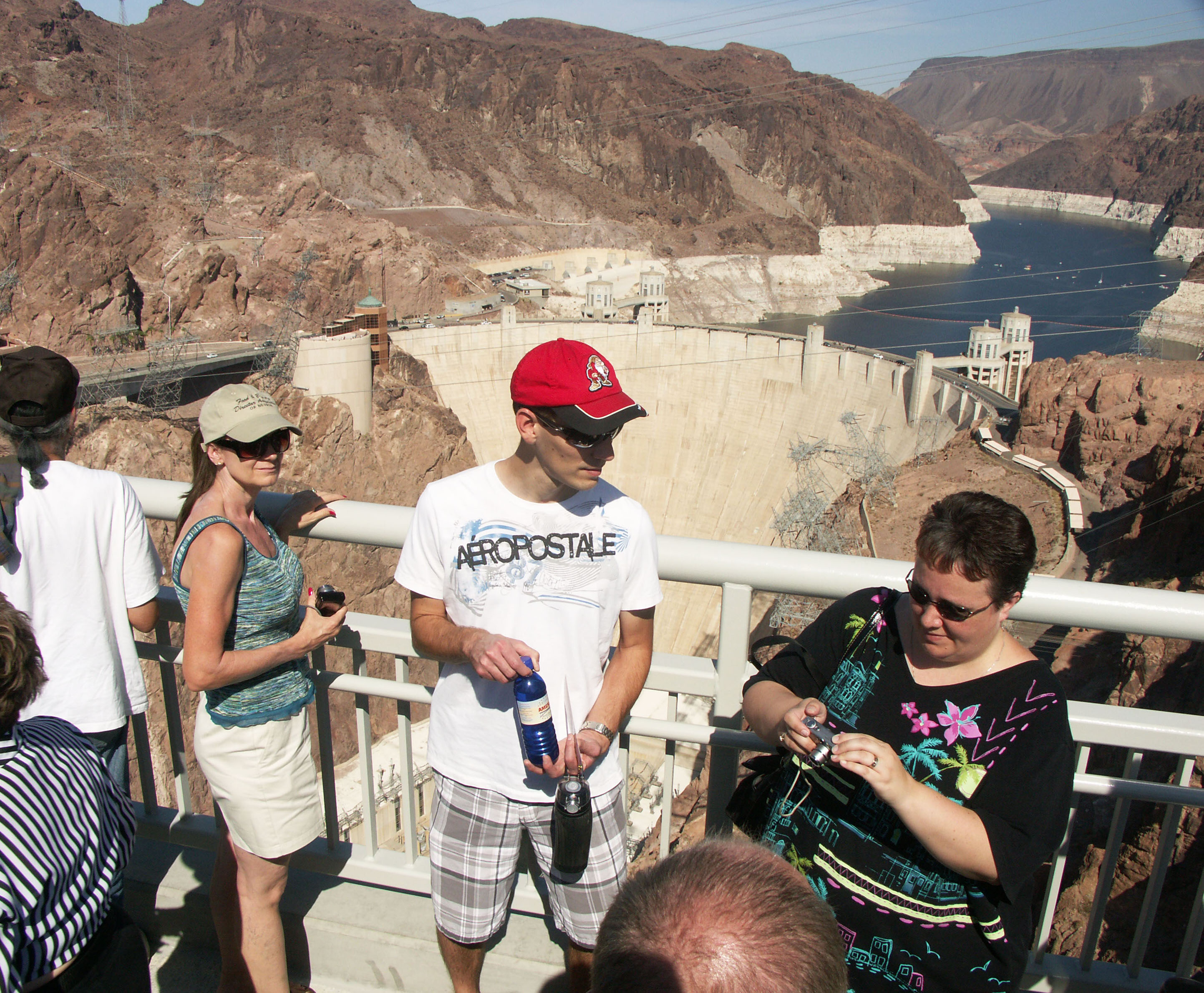
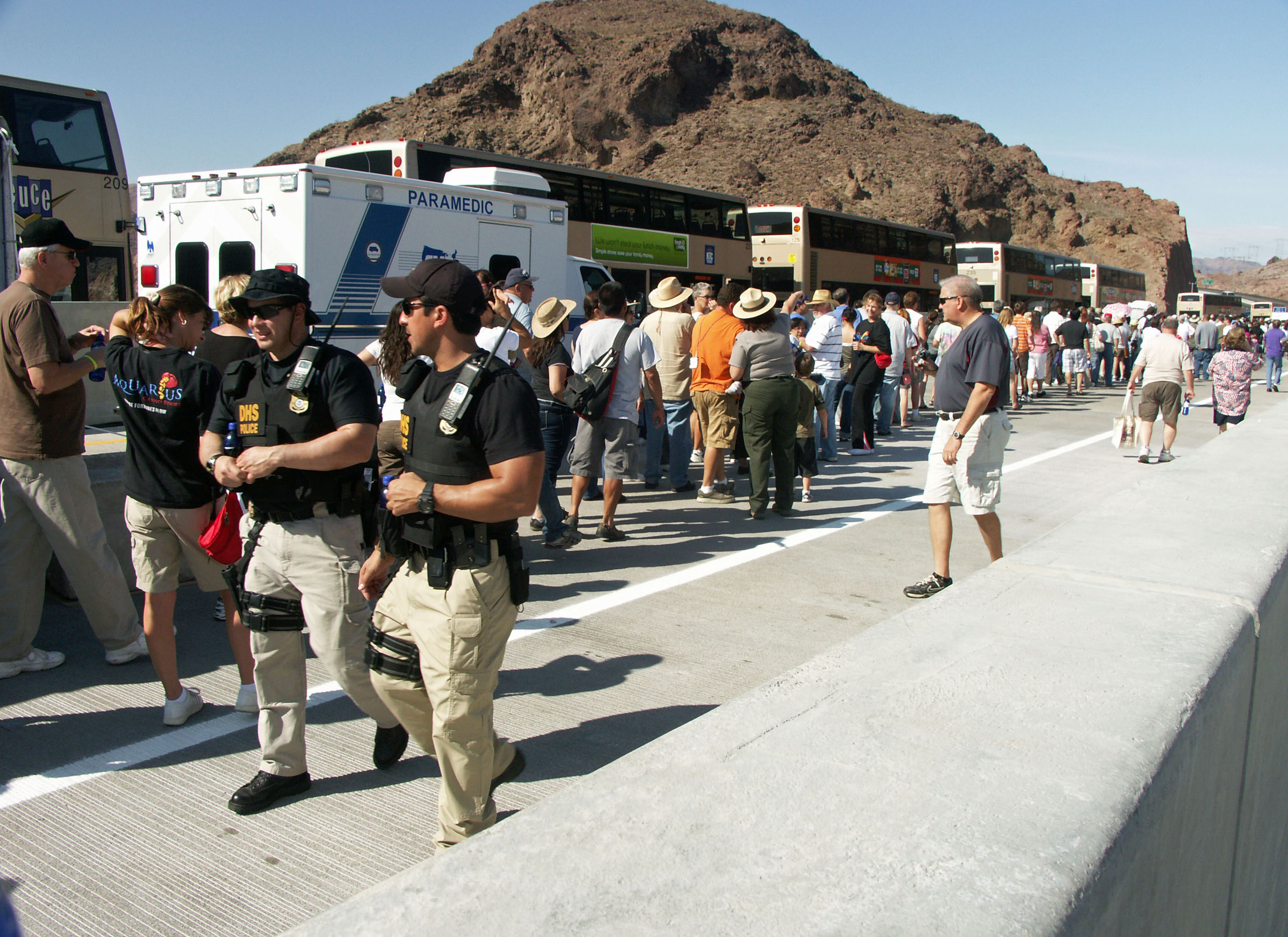
A lot of water was on hand with temperatures of more then 90 degrees F.
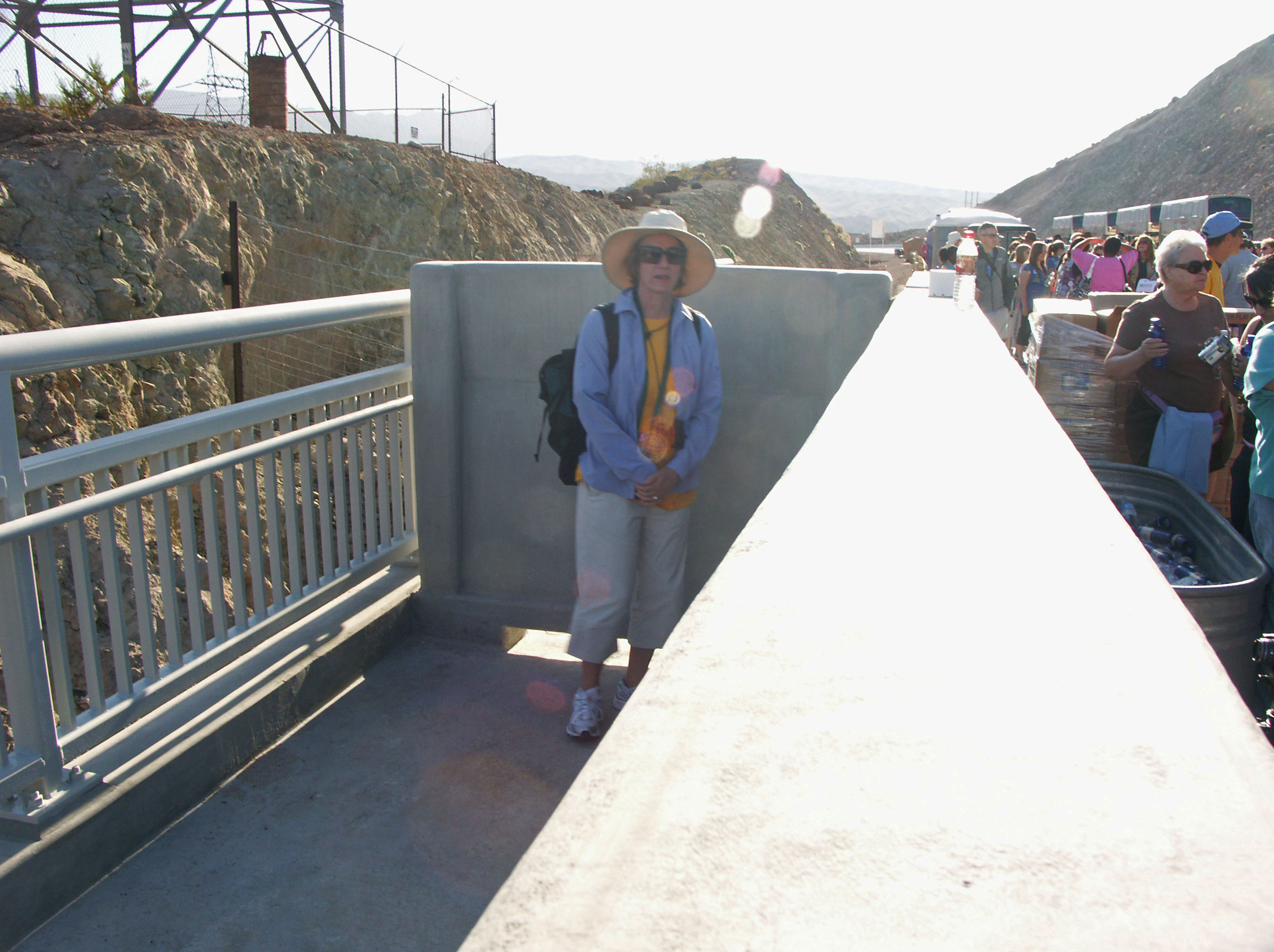
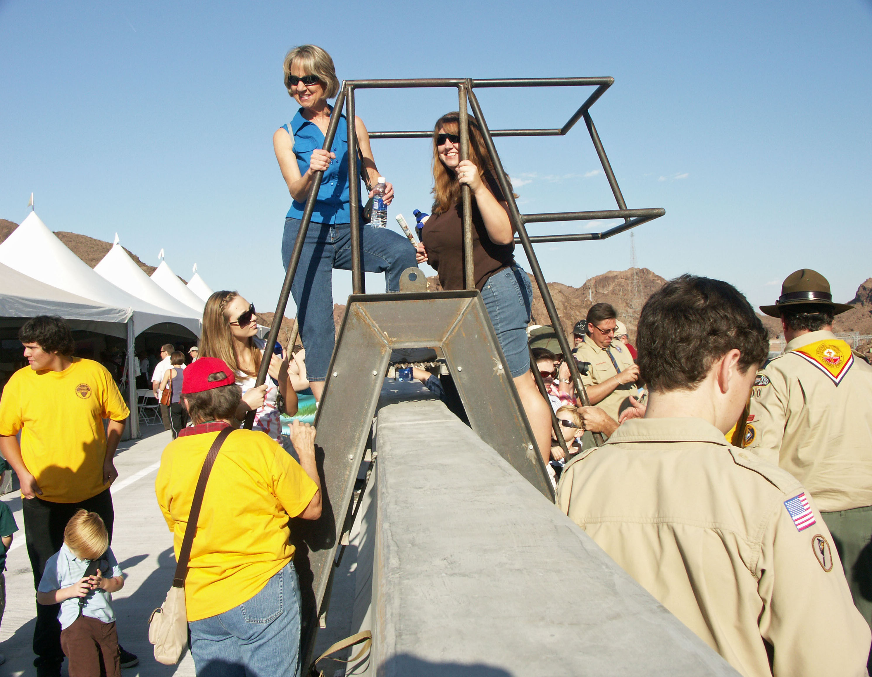
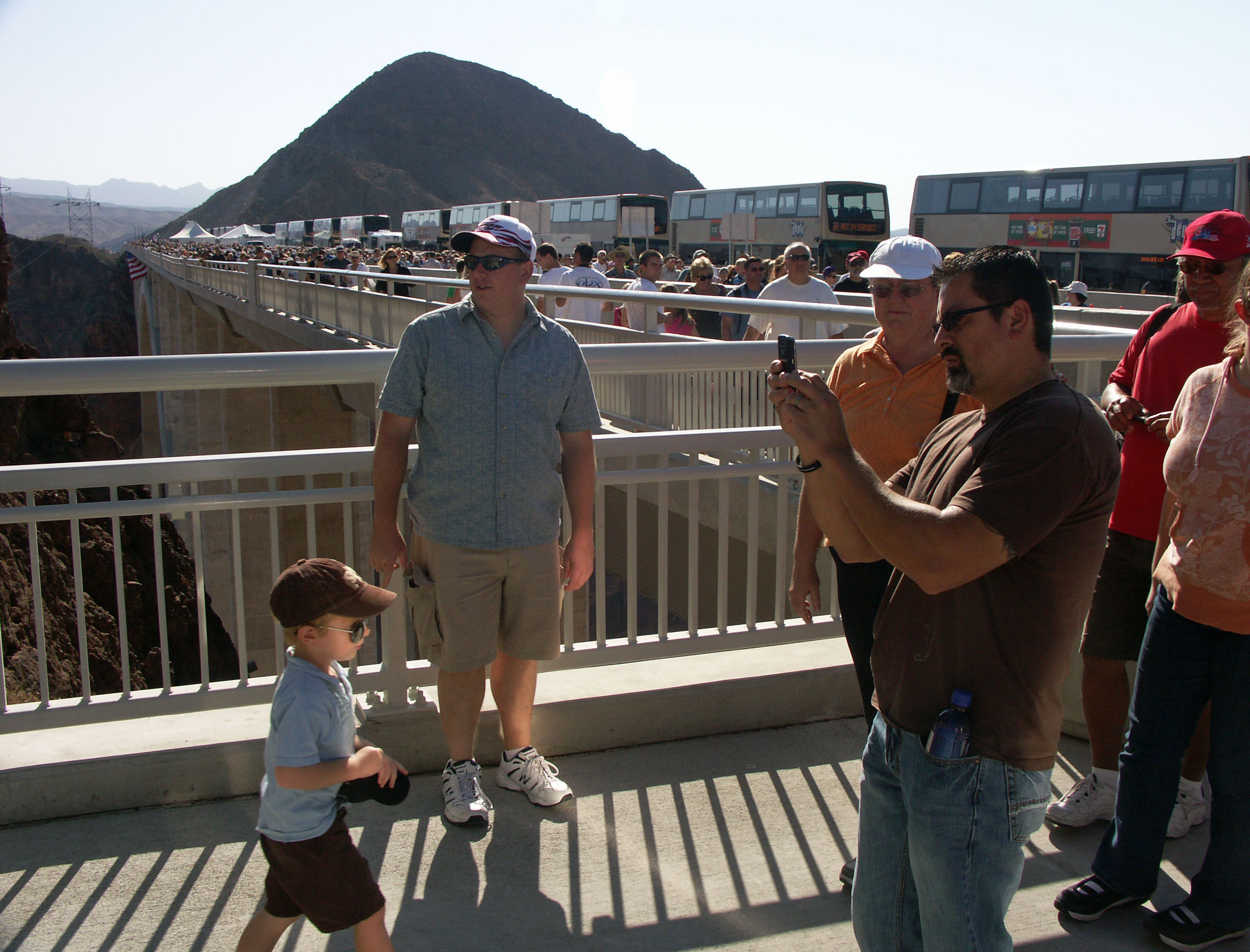
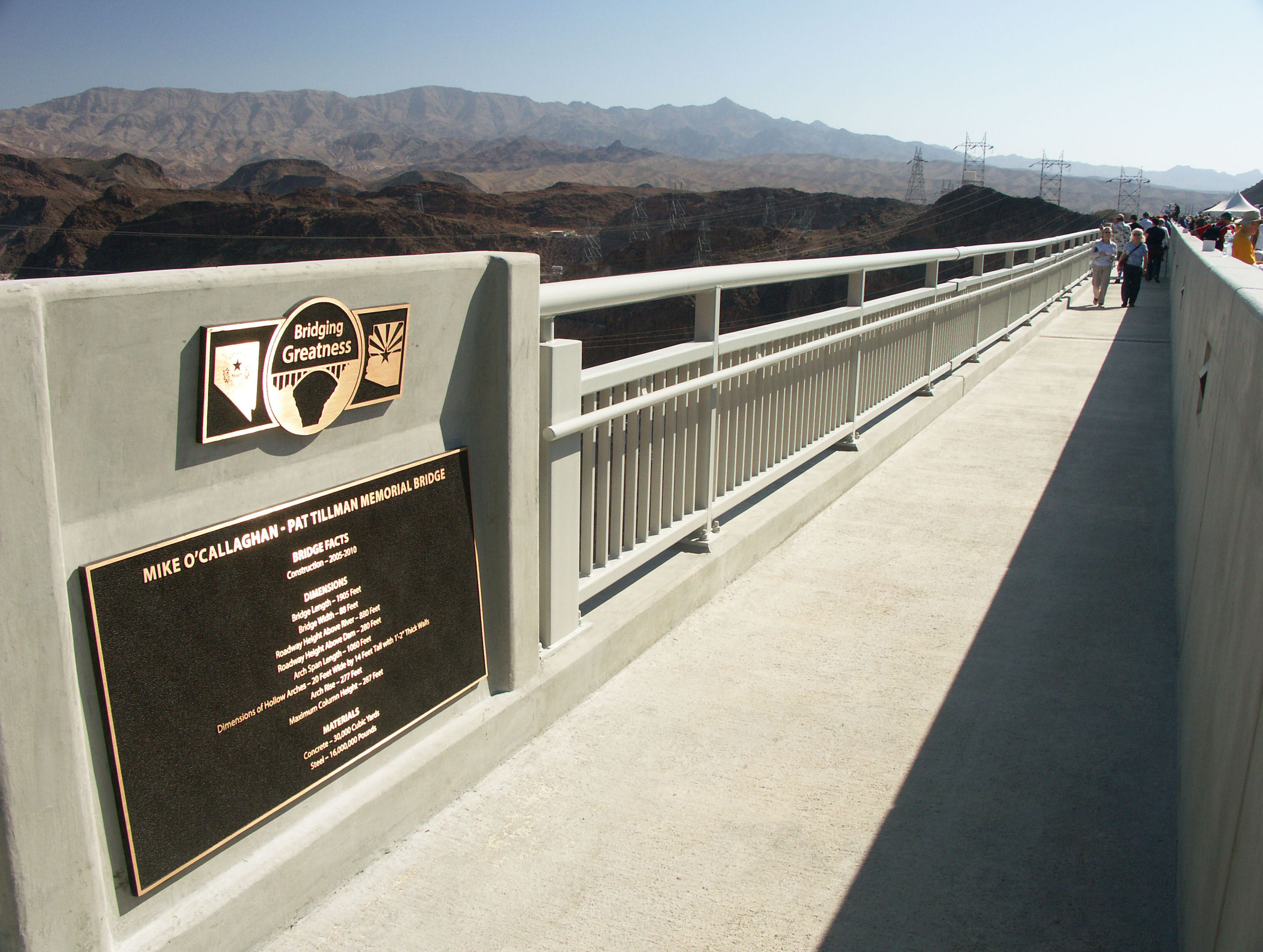
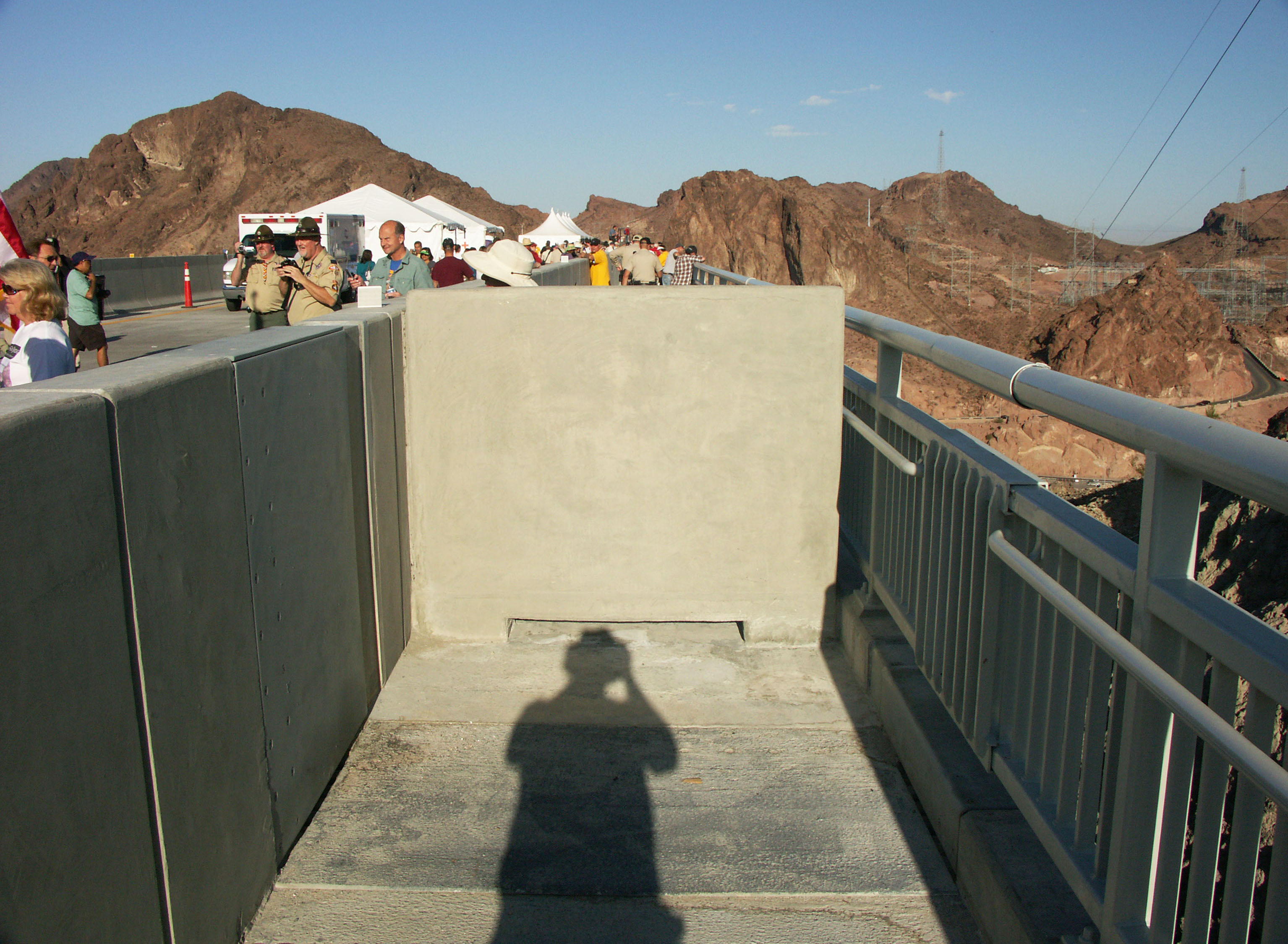
The east end of the walkway is blocked by a concrete barrier.
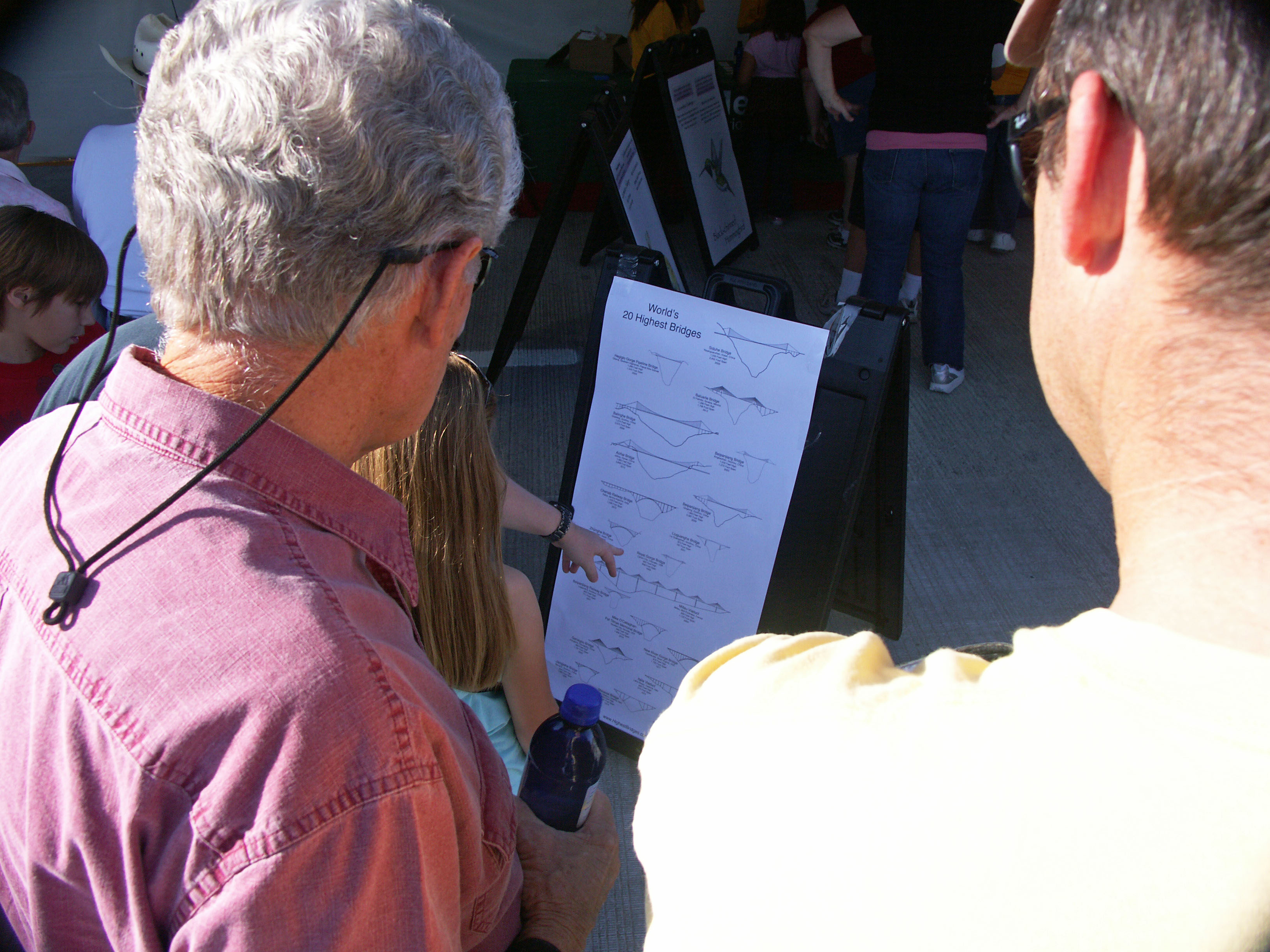
A bridge poster of the world's 20 highest bridges was set up by www.HighestBridges.com
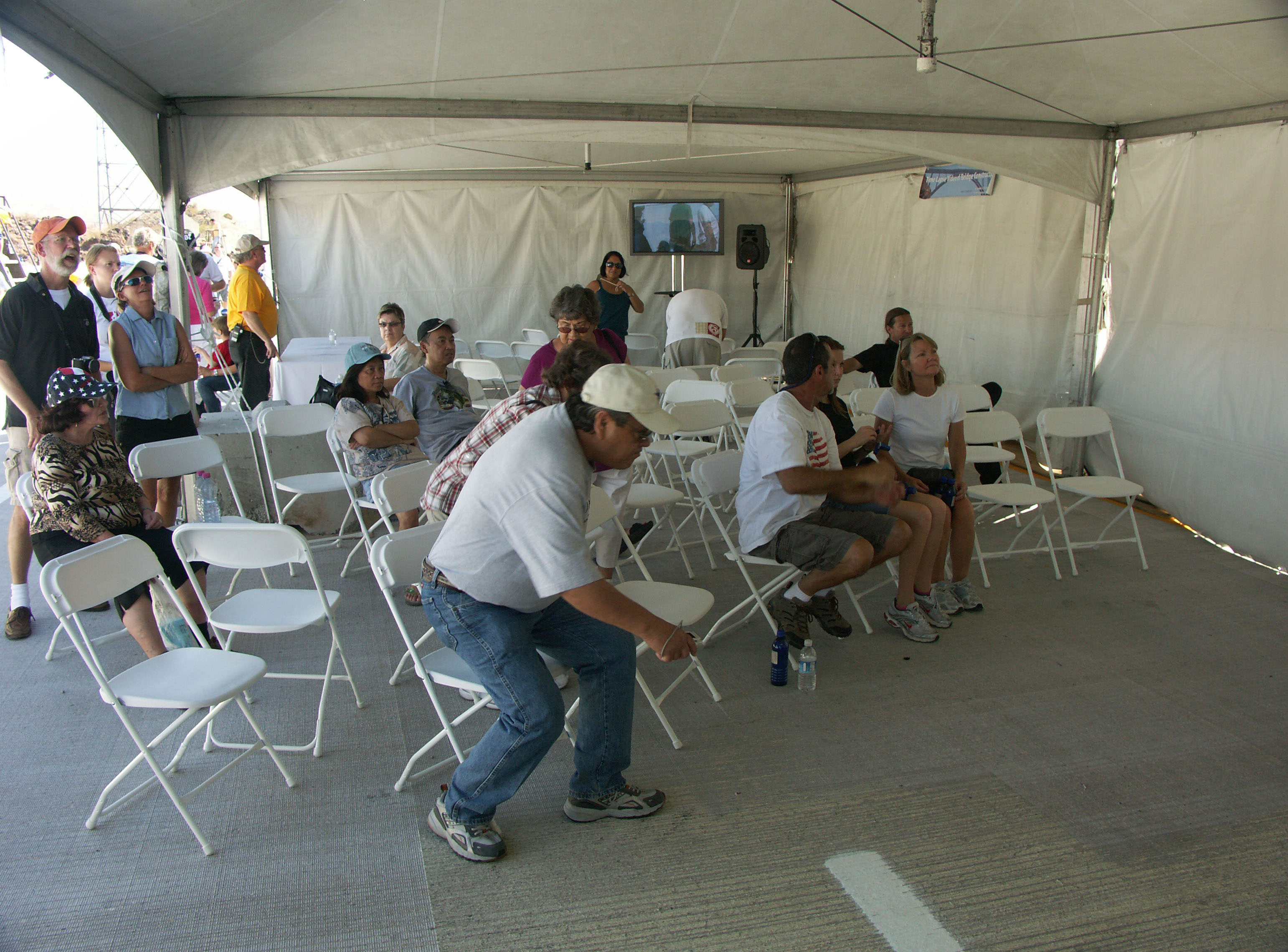
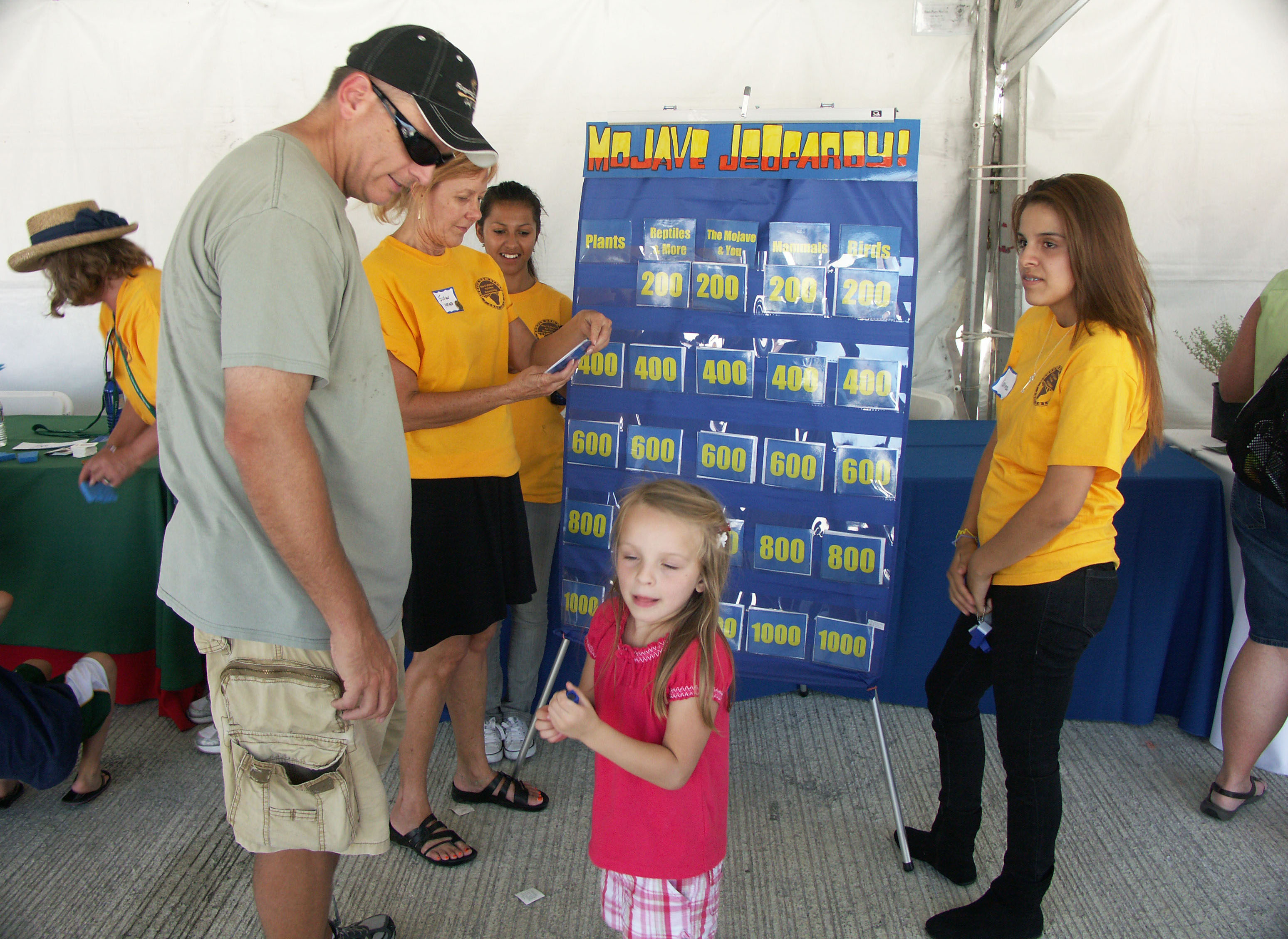
Bridge construction presentations were located within several of the tents.
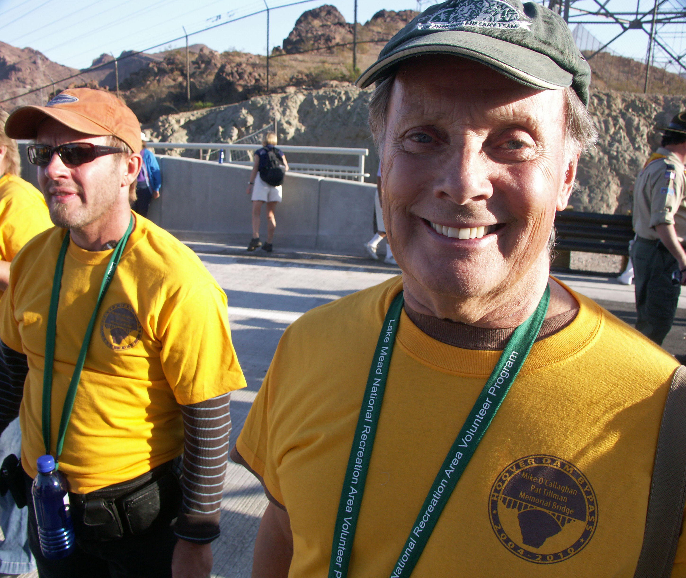
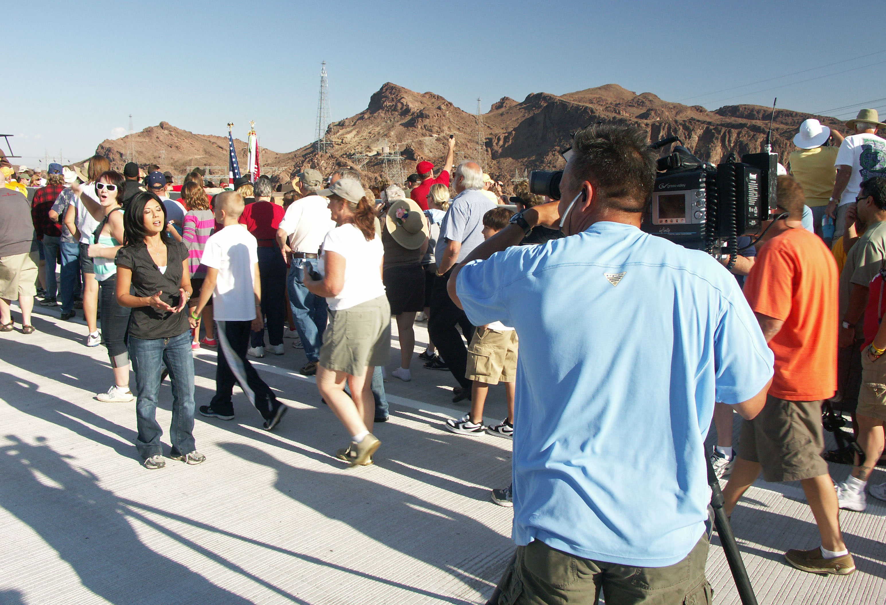
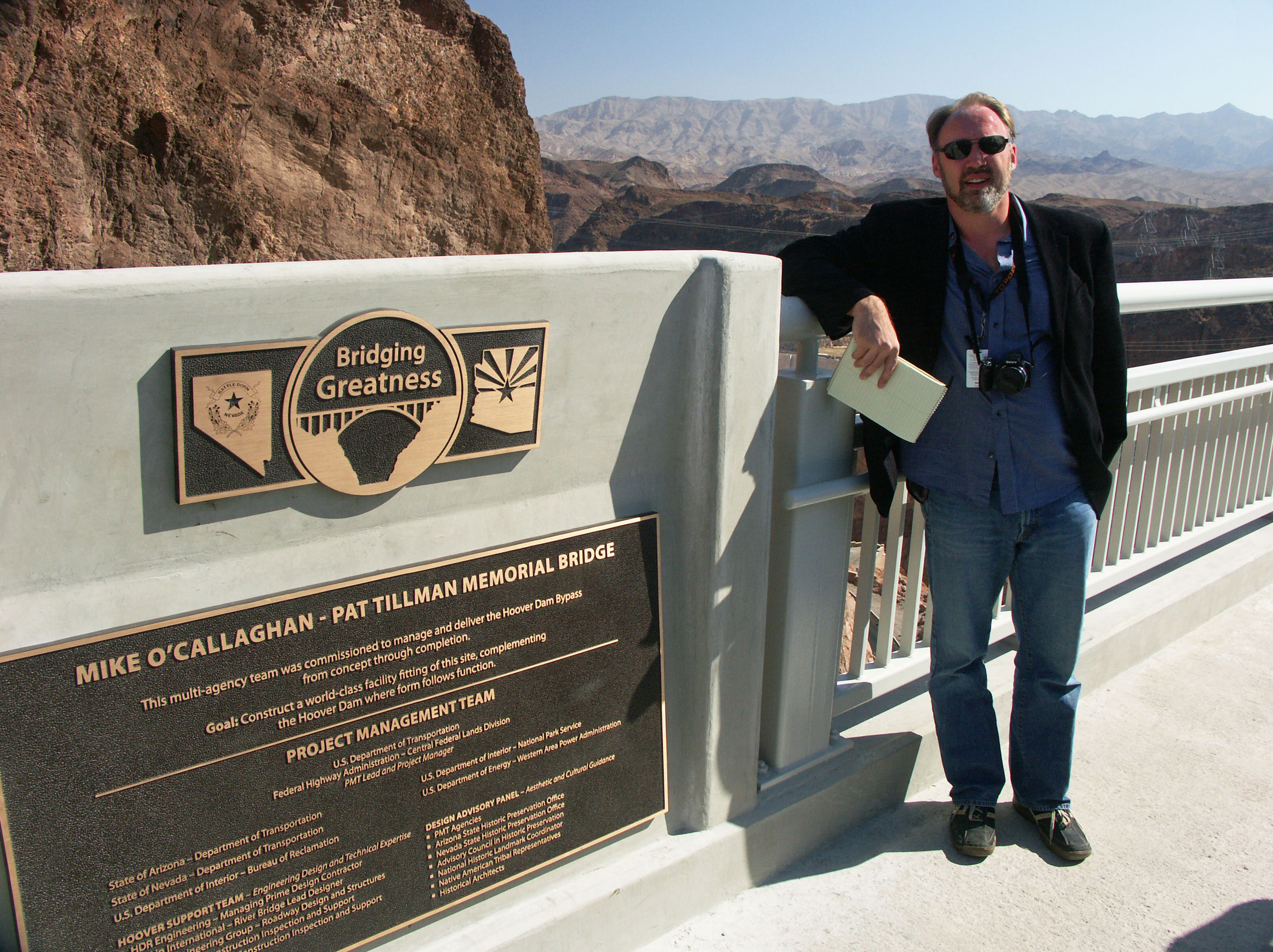
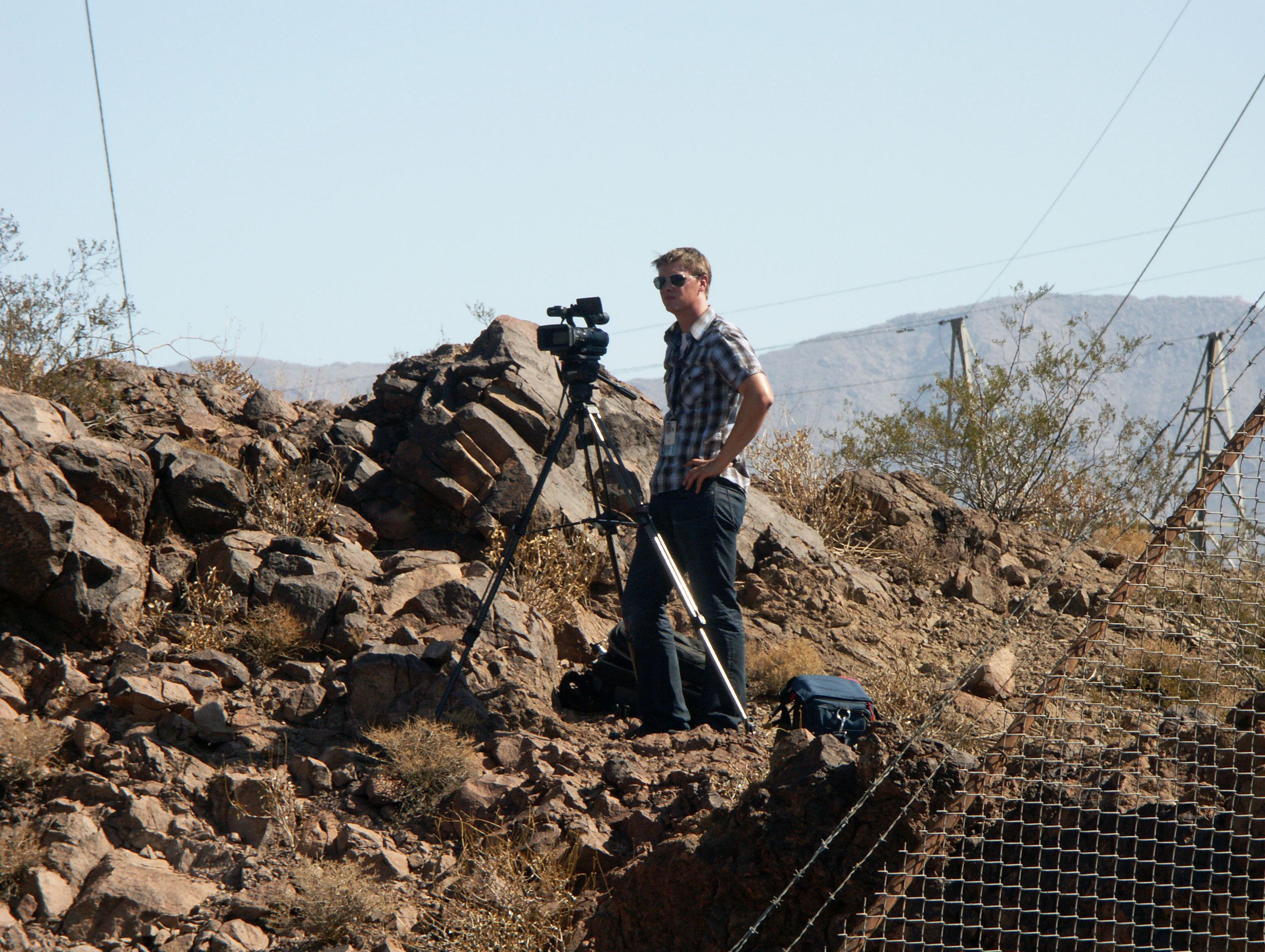
Arizona Republic reporter Sean Holstege was on hand for the opening day celebrations. Sean covered the entire construction of the bridge as well as the debut of www.HighestBridges.com in early 2010.
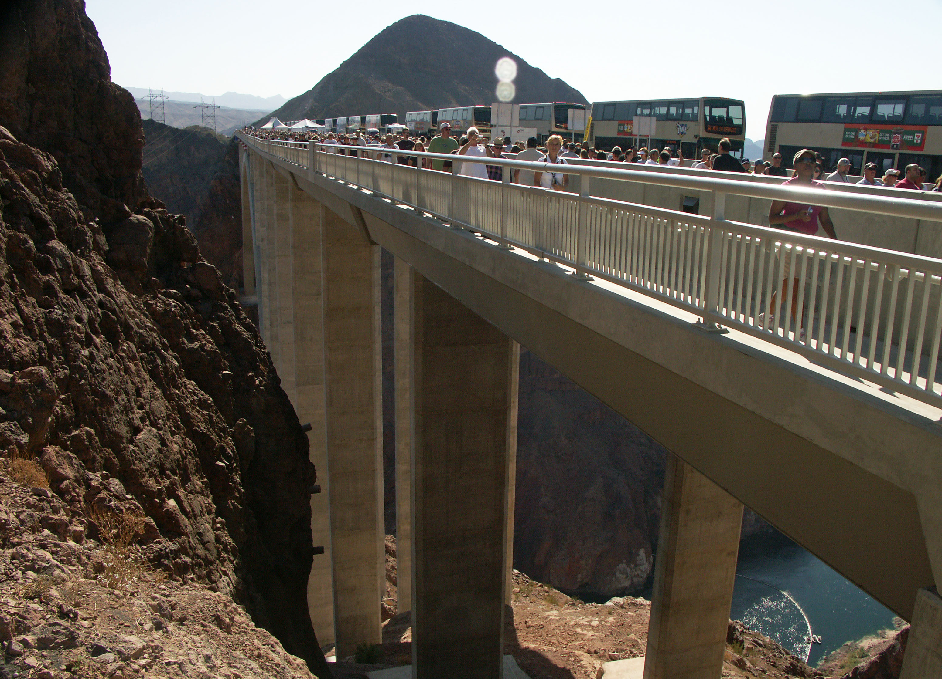
Hoover Dam Bridge parking area.
Image by Eric Sakowski / HighestBridges.com
Image by Eric Sakowski / HighestBridges.com
Image by Steven Miller
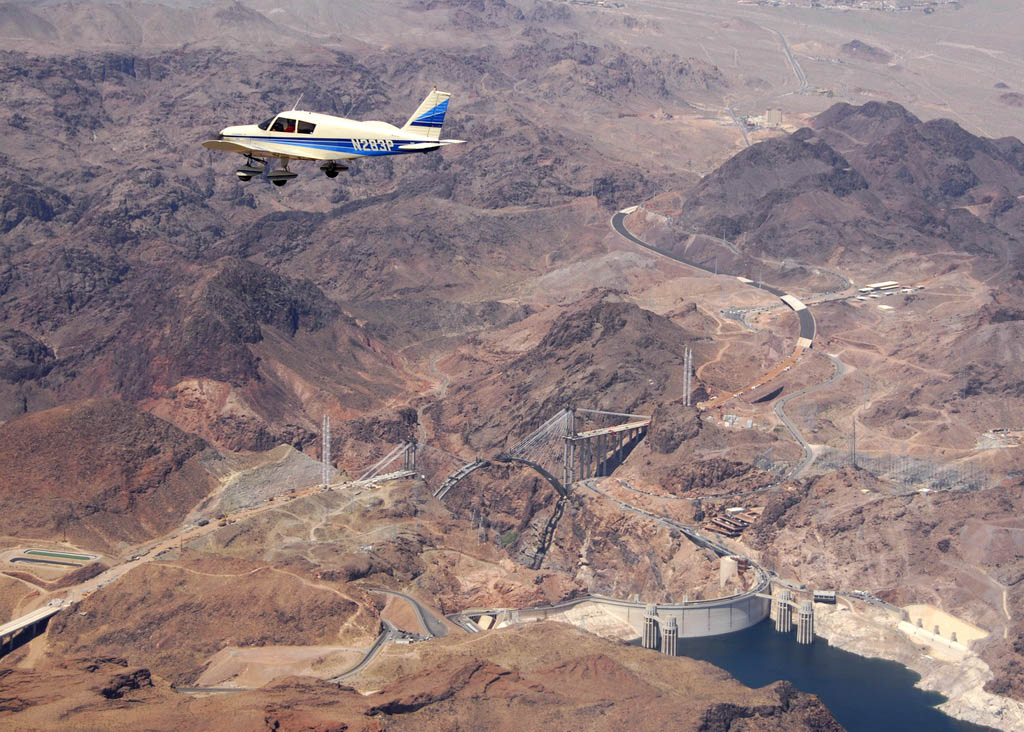
Aerial image by Mike Radomsky
Image by Steven Miller
Image by squeaks2569
Image by Alan Stark
Image by Alan Stark
Image by Alan Stark
Image by Alan Stark
Image by Alan Stark
Image by Eric Sakowski / HighestBridges.com
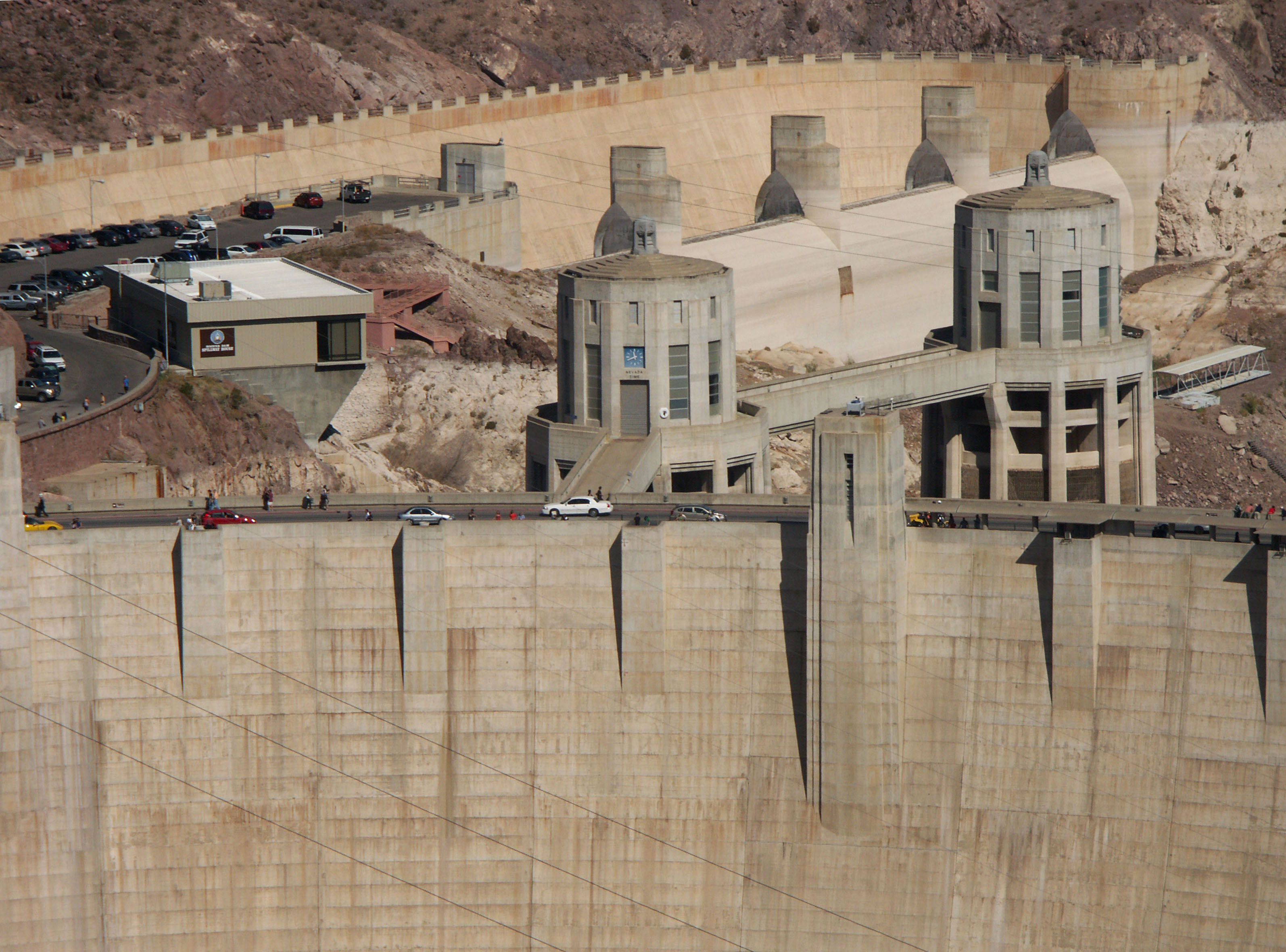
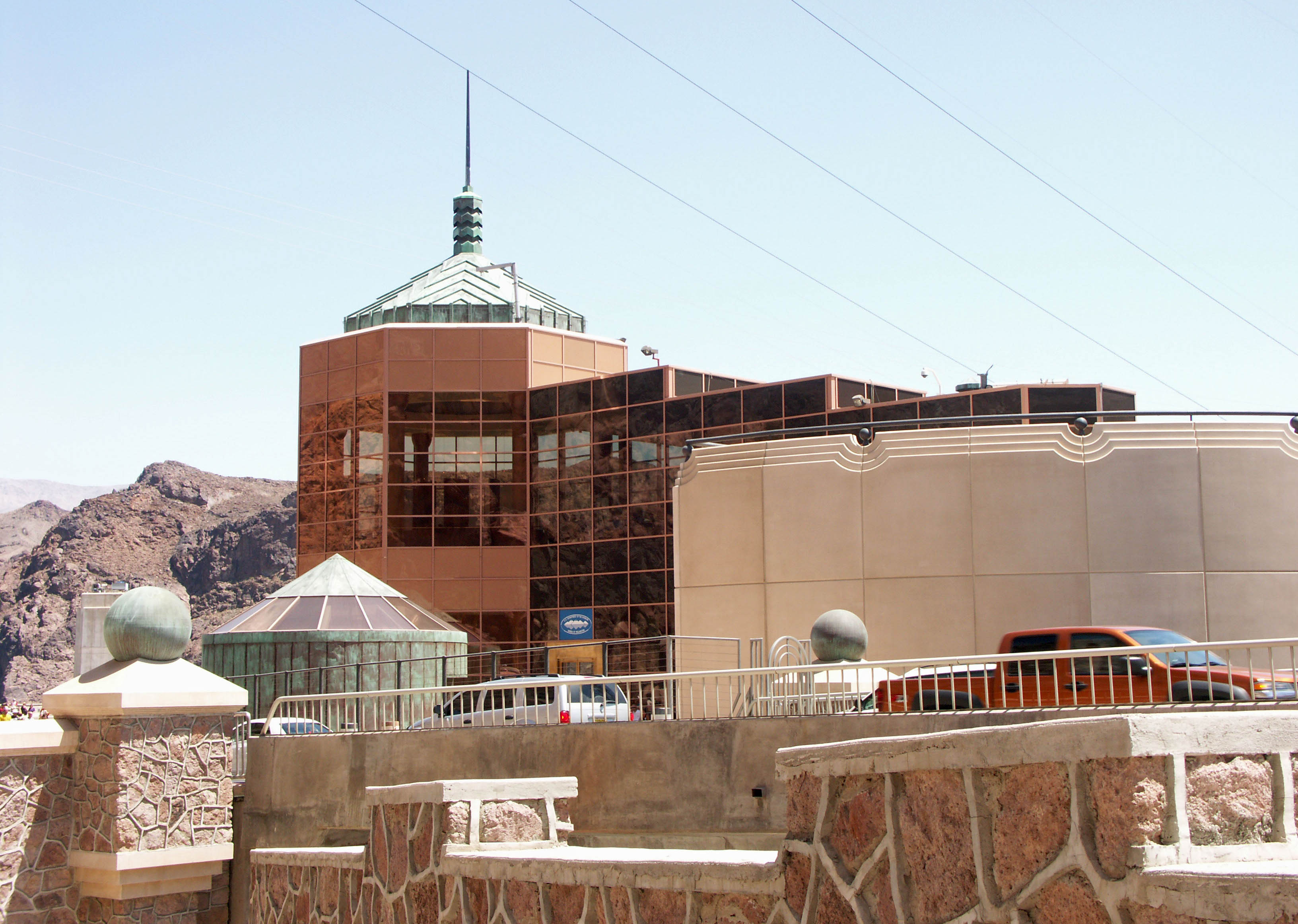
Dam visitors center and tour guide building. Image by Eric Sakowski / HighestBridges.com
West turbine room. Image by Eric Sakowski / HighestBridges.com
Steel truss-arch proposal.
Vierendeel-arch proposal with inclined spandrel supports.
Aerial image by Mike Radomsky.
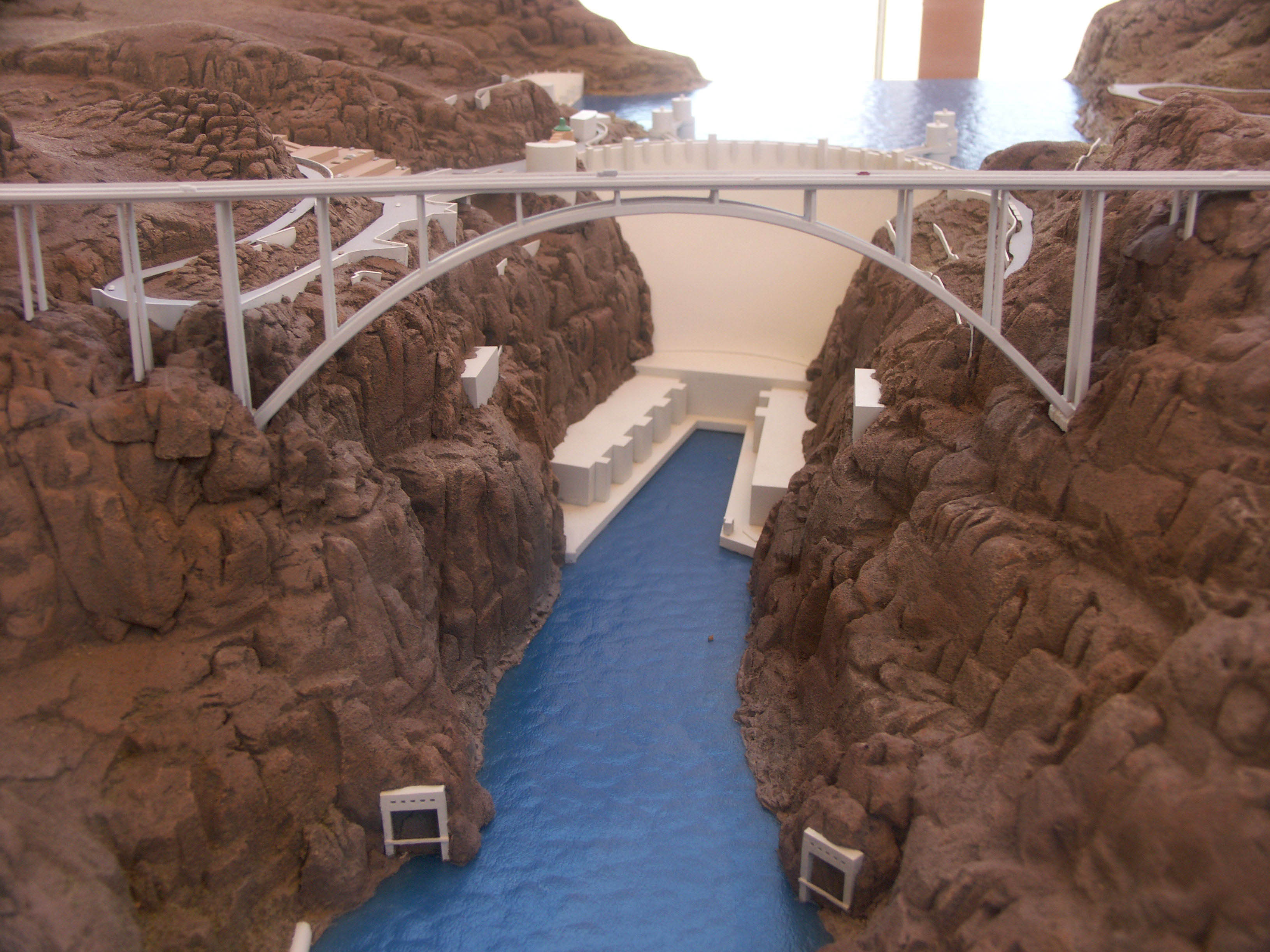
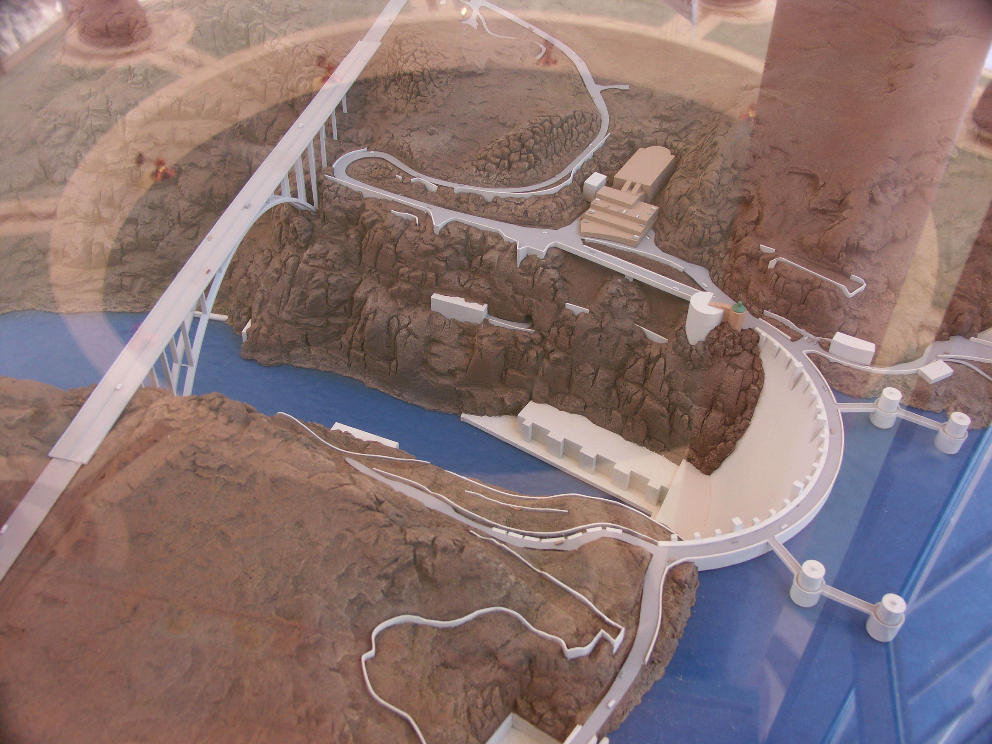
Bridge and dam model in the visitors center. Image by Eric Sakowski / HighestBridges.com
Image by Eric Sakowski / HighestBridges.com
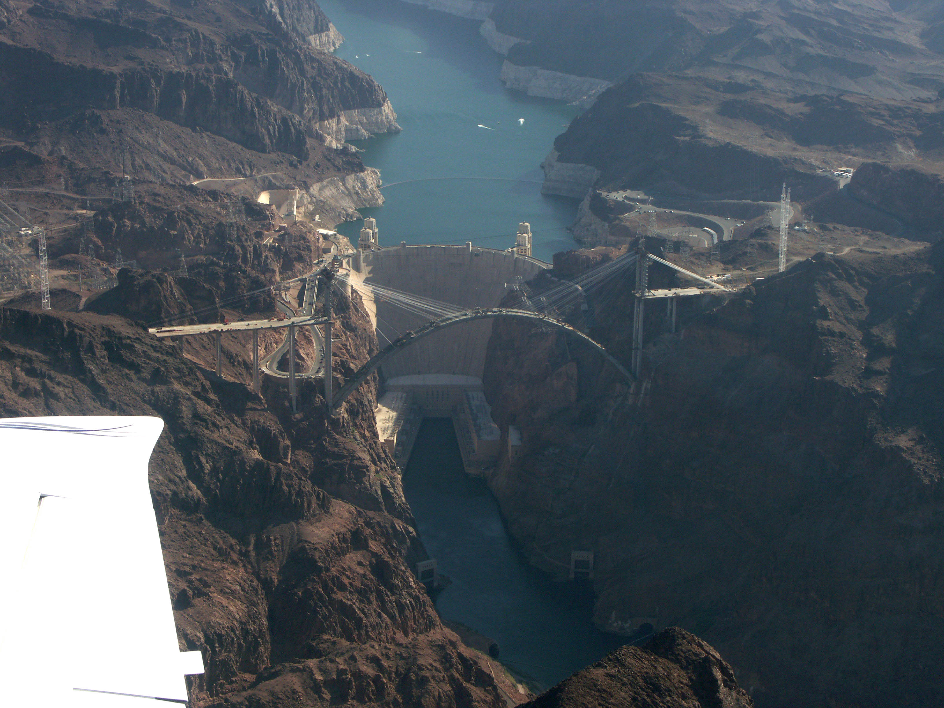
Aerial image by Eric Sakowski / HighestBridges.com
Drawing by Eric Sakowski / HighestBridges.com
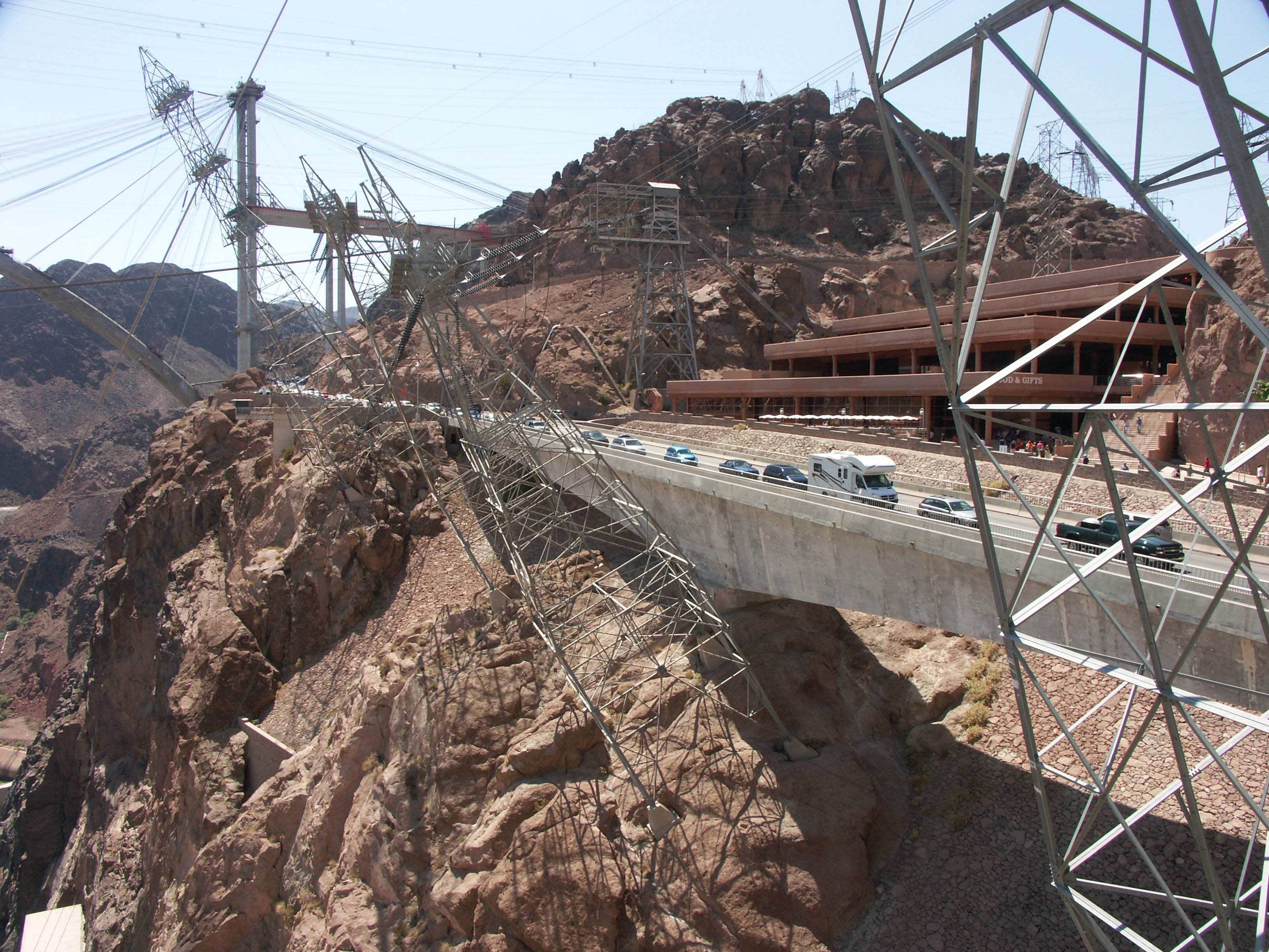
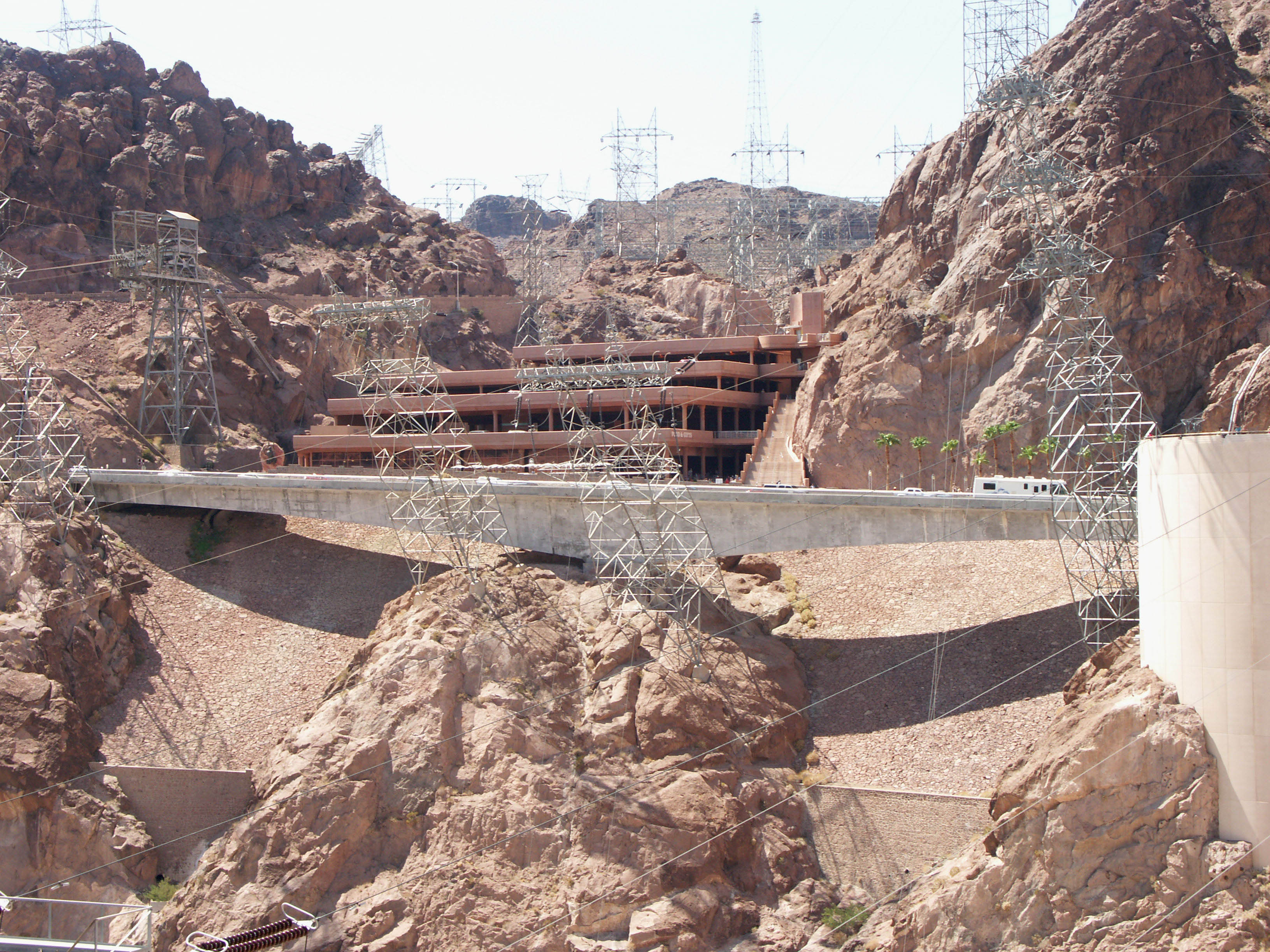
Parking garage, restaurant, gift shop and prestressed T-beam bridge. Image by Eric Sakowski / HighestBridges.com
Image by Eric Sakowski / HighestBridges.com
Image by Eric Sakowski / HighestBridges.com
Image by Eric Sakowski / HighestBridges.com
Image by Eric Sakowski / HighestBridges.com
Image by Eric Sakowski / HighestBridges.com
Image by Eric Sakowski / HighestBridges.com
Image by Eric Sakowski / HighestBridges.com
Image by Eric Sakowski / HighestBridges.com
Image by Eric Sakowski / HighestBridges.com
Image by Eric Sakowski / HighestBridges.com
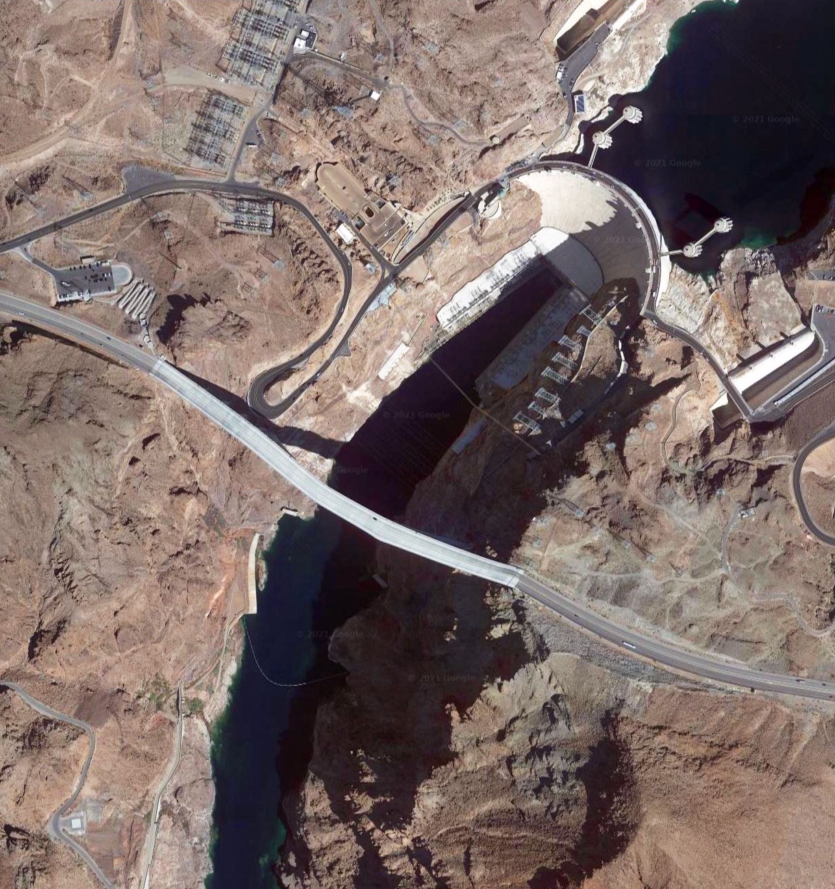
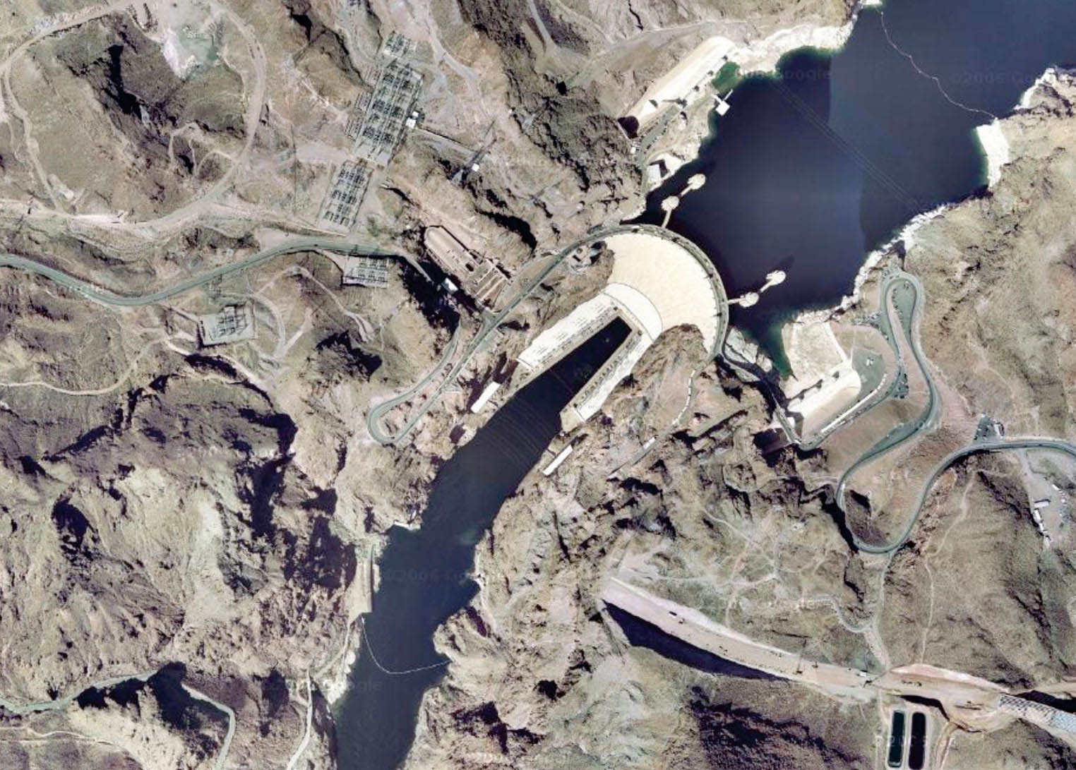
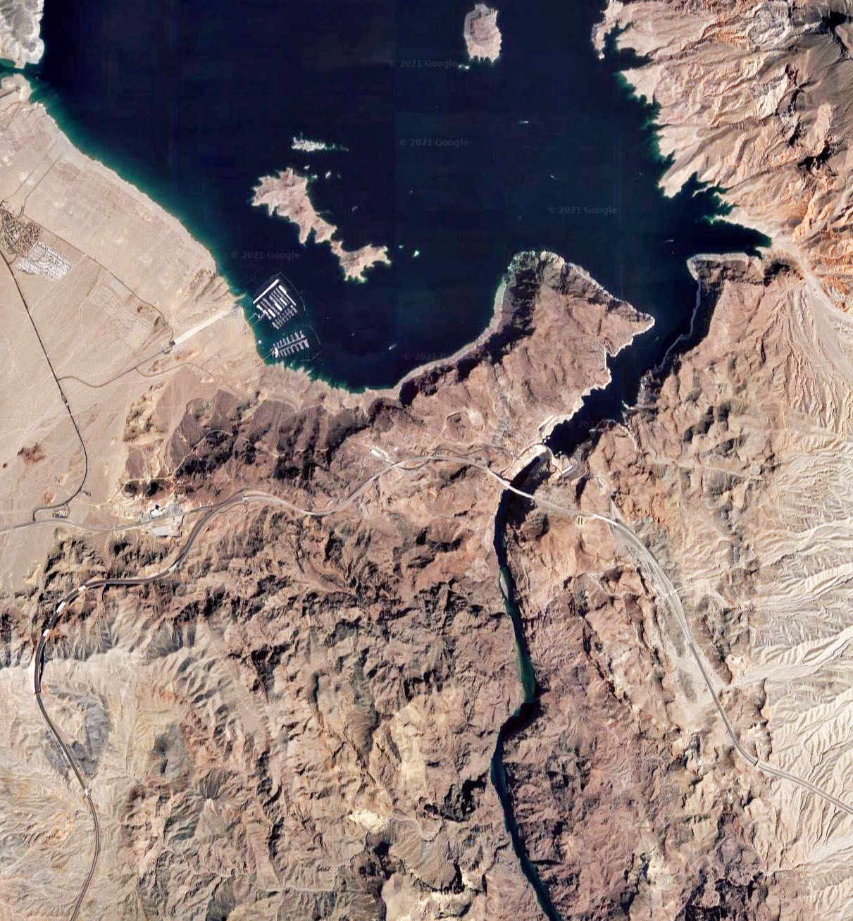
Mike O'Callaghan-Pat Tilman Memorial Bridge satellite image.
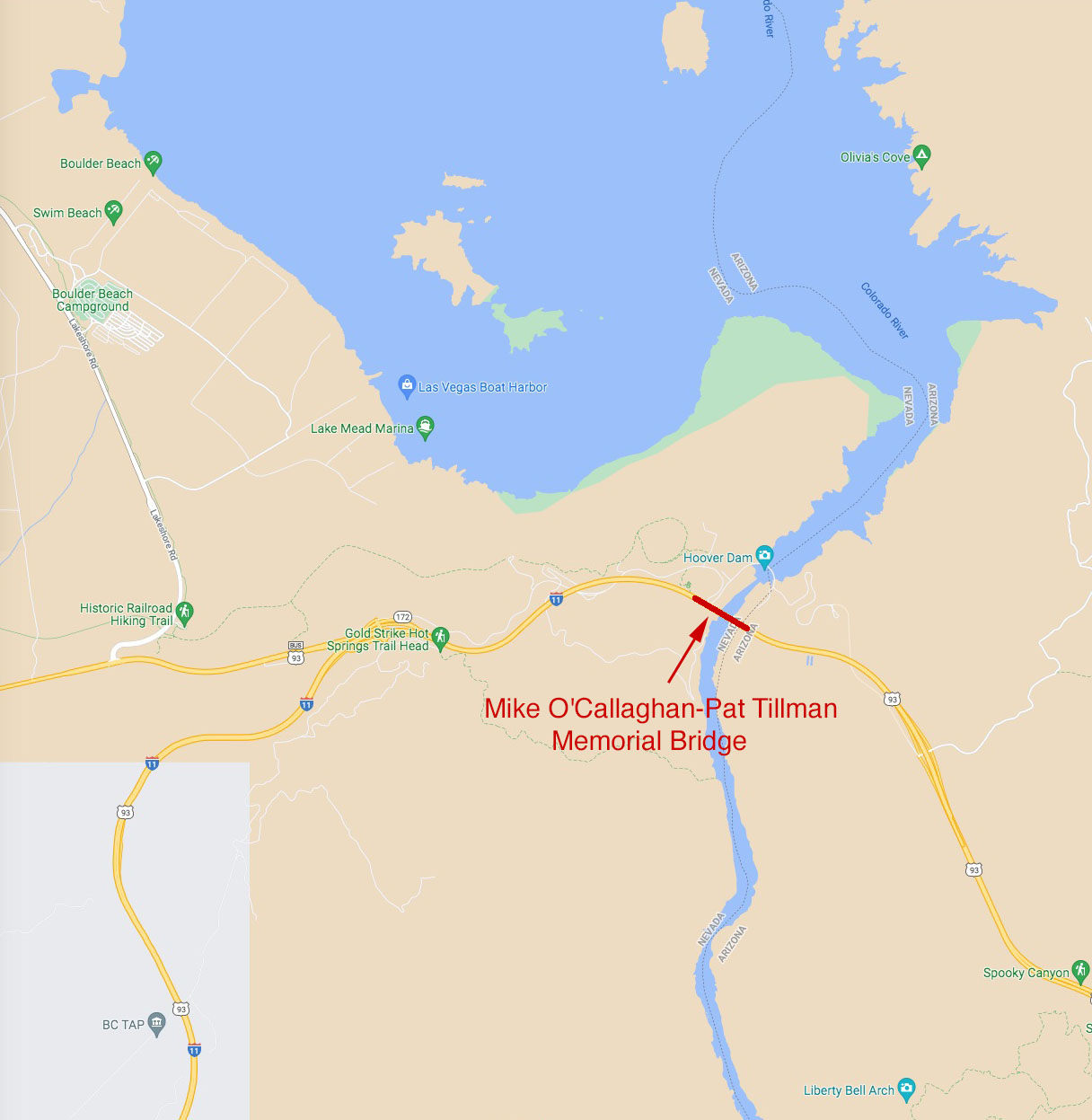
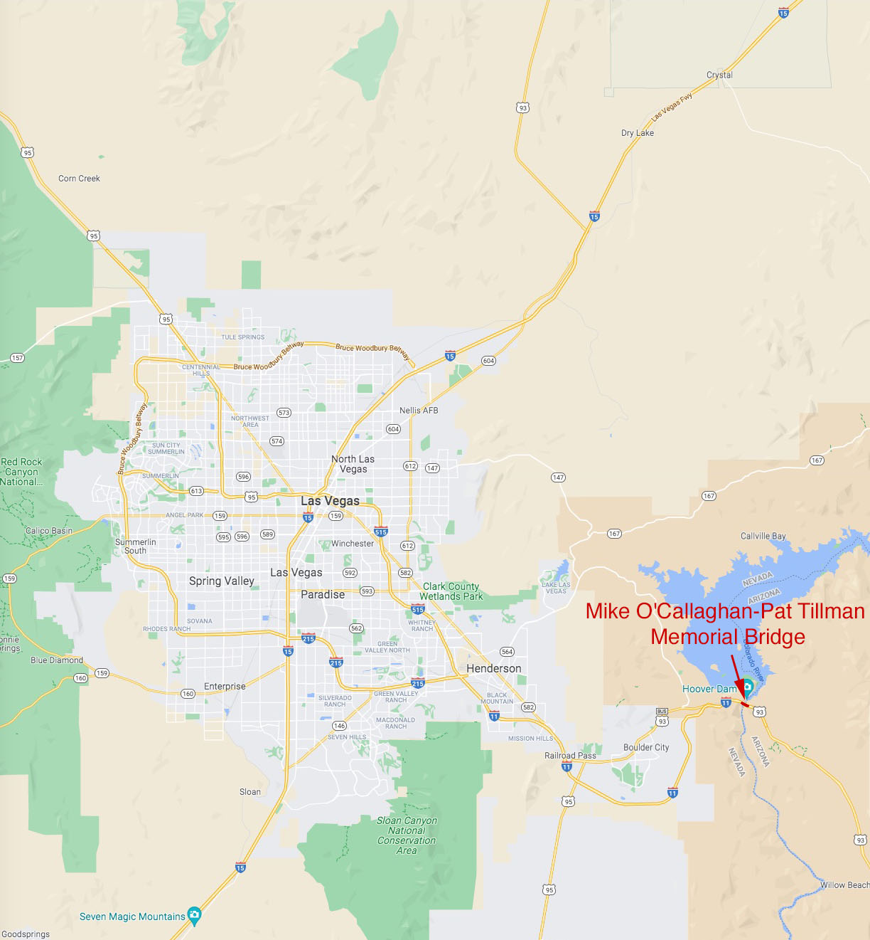
Mike O'Callaghan-Pat Tilman Memorial Bridge location map.
