File:BajoolArea.jpg
From HighestBridges.com
Jump to navigationJump to search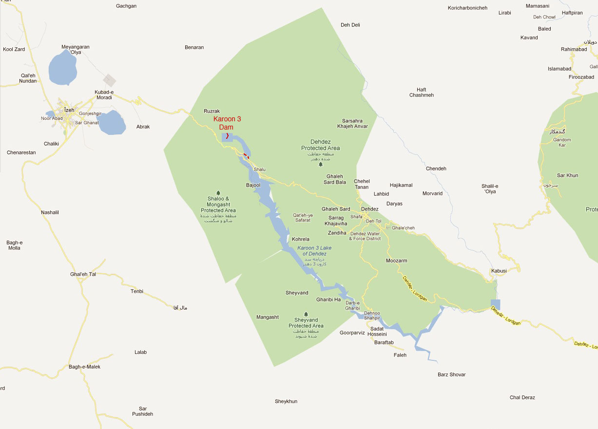
Size of this preview: 800 × 574 pixels. Other resolutions: 320 × 230 pixels | 1,227 × 881 pixels.
Original file (1,227 × 881 pixels, file size: 130 KB, MIME type: image/jpeg)
Bajool Area Map with Karun 3 Dam and road crossing.
File history
Click on a date/time to view the file as it appeared at that time.
| Date/Time | Thumbnail | Dimensions | User | Comment | |
|---|---|---|---|---|---|
| current | 21:47, 20 February 2012 | | 1,227 × 881 (130 KB) | Sakowski (talk | contribs) | Bajool Area Map with Karun 3 Dam and road crossing. |
You cannot overwrite this file.
File usage
The following 2 pages use this file: