Texcapa Bridge
Texcapa Bridge
Puente Texcapa
Huauchinango, Puebla, Mexico
482 feet high / 147 meters high
561 foot span / 171 meter span
2005
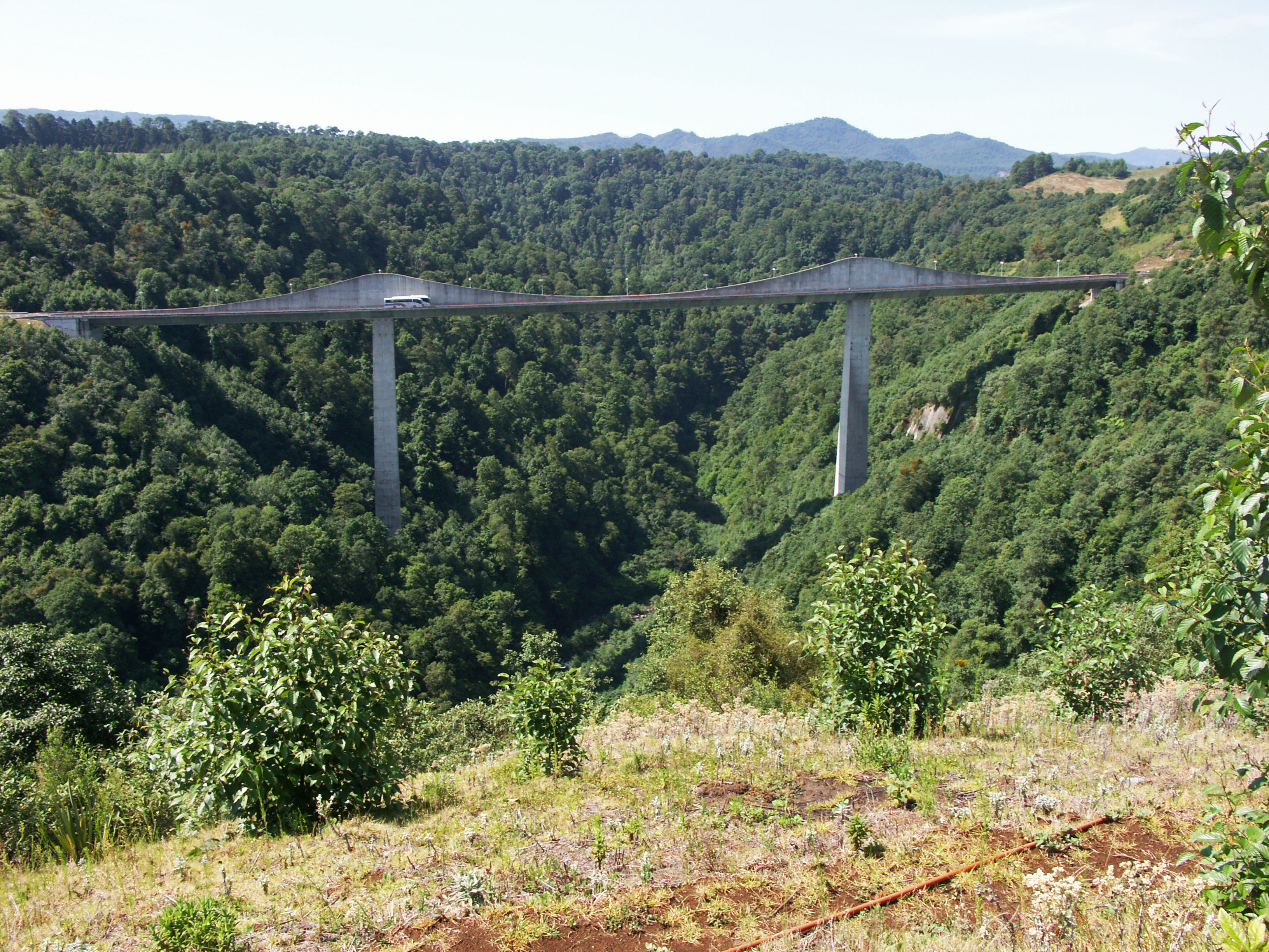
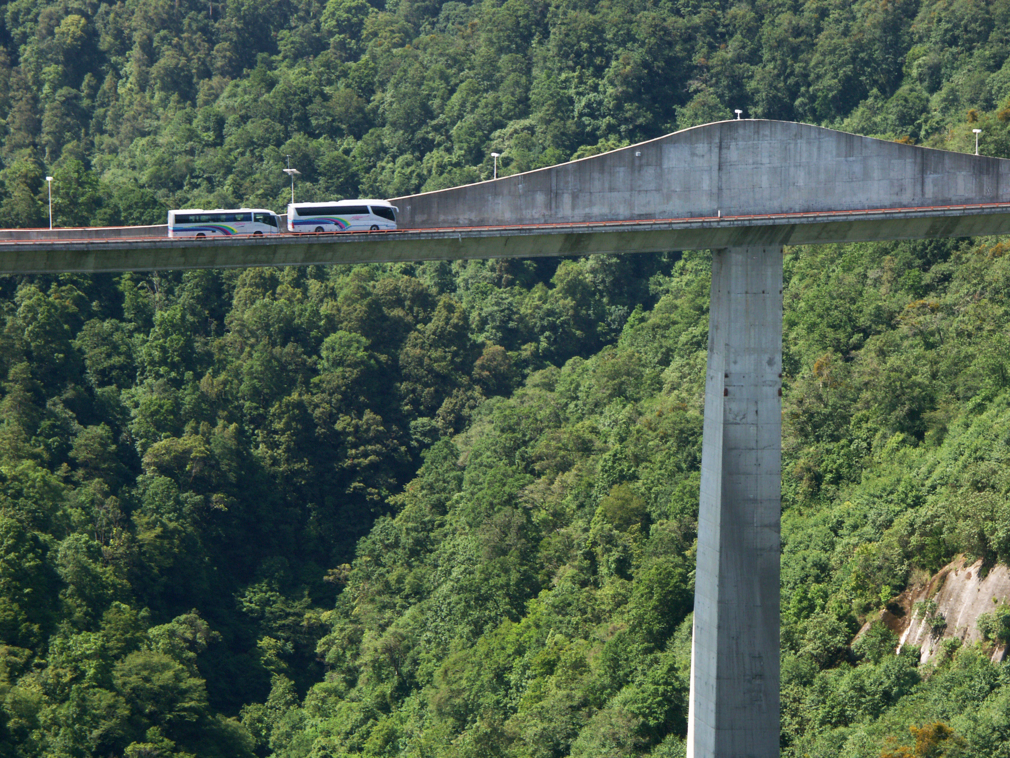
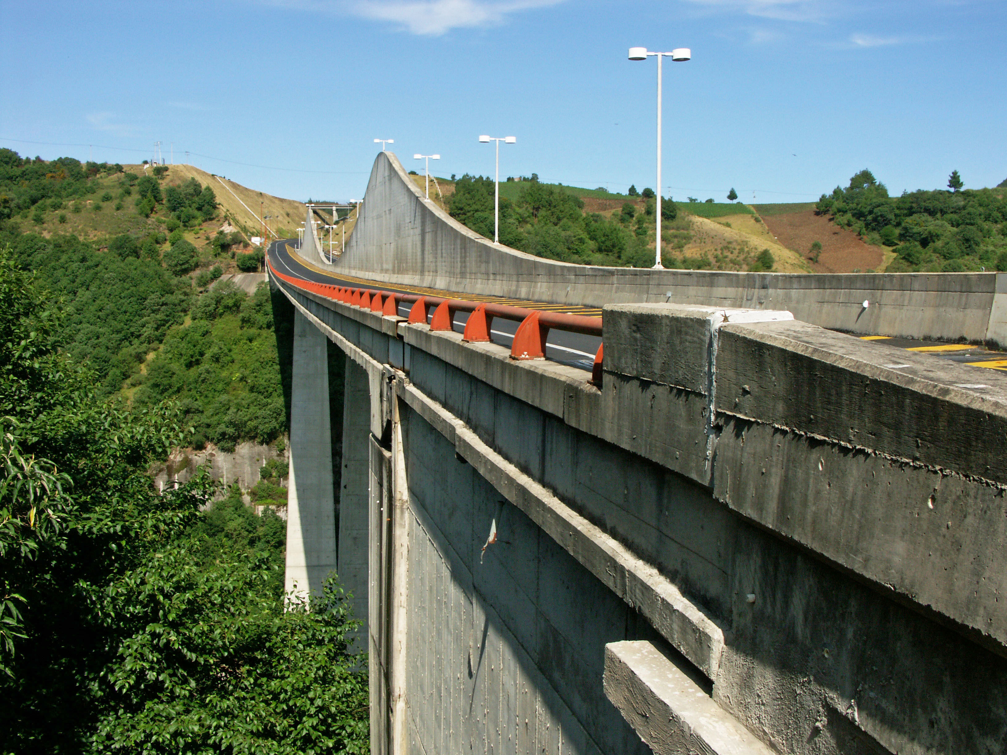
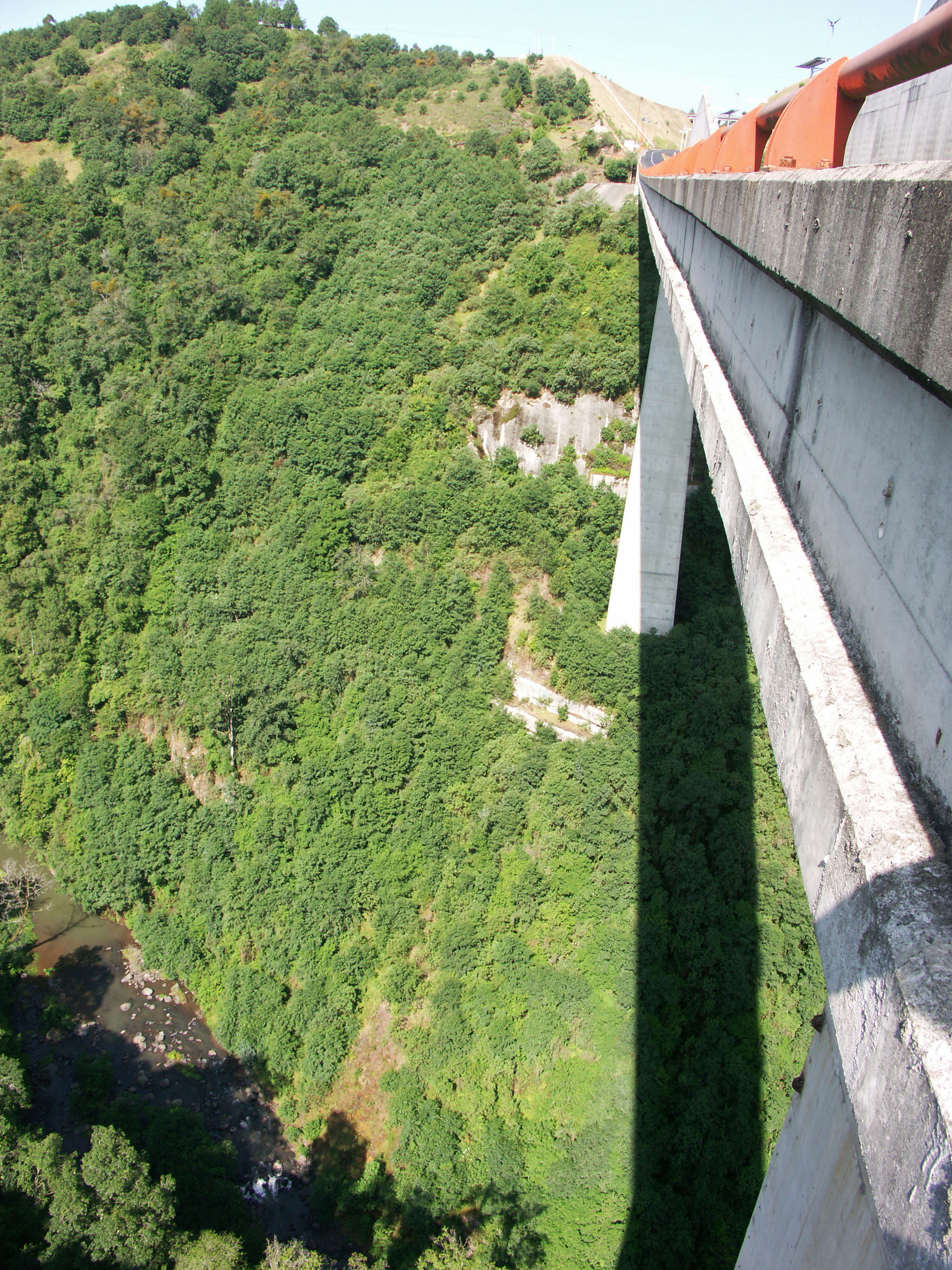
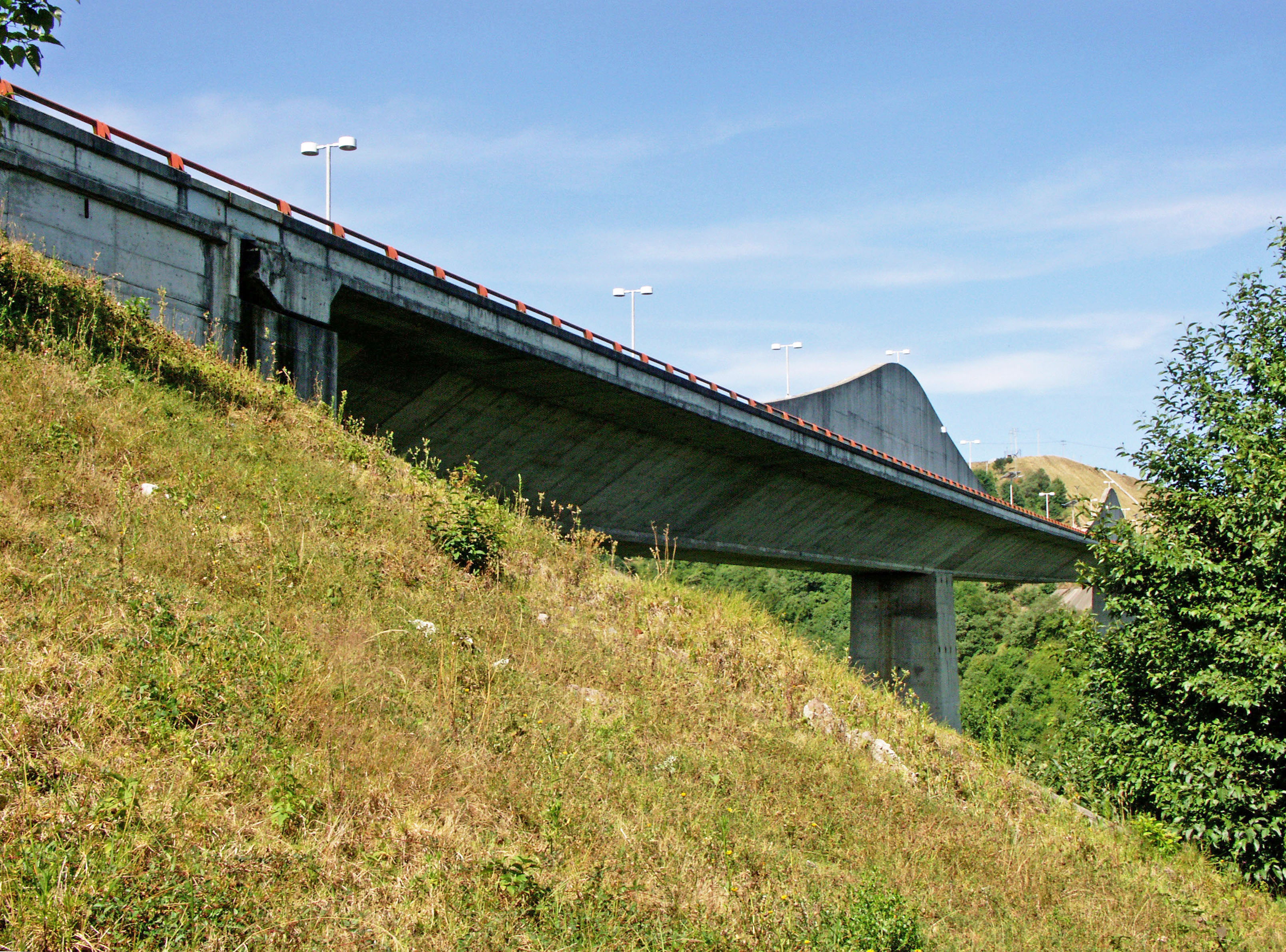
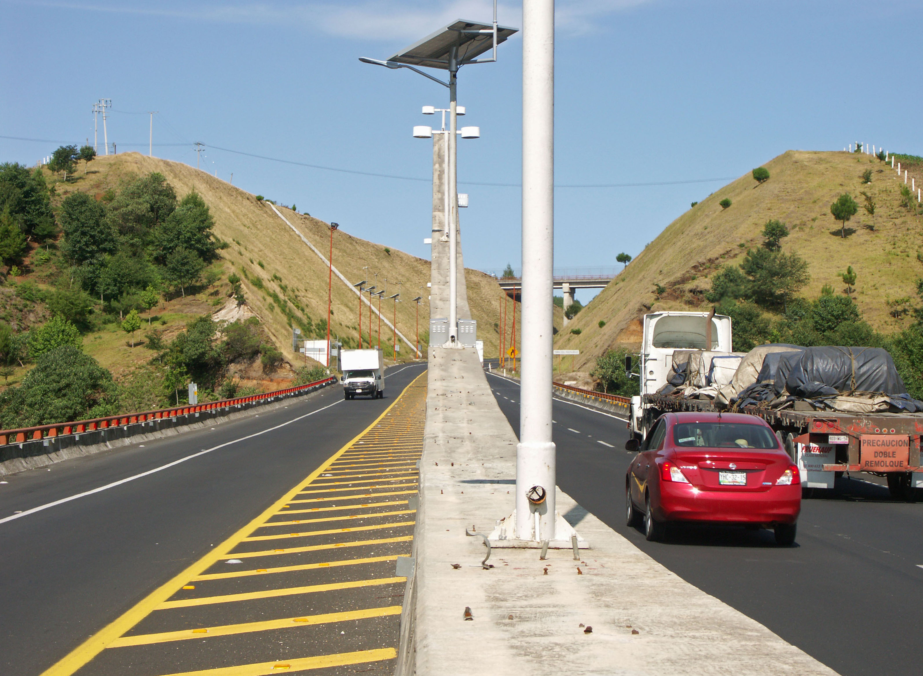
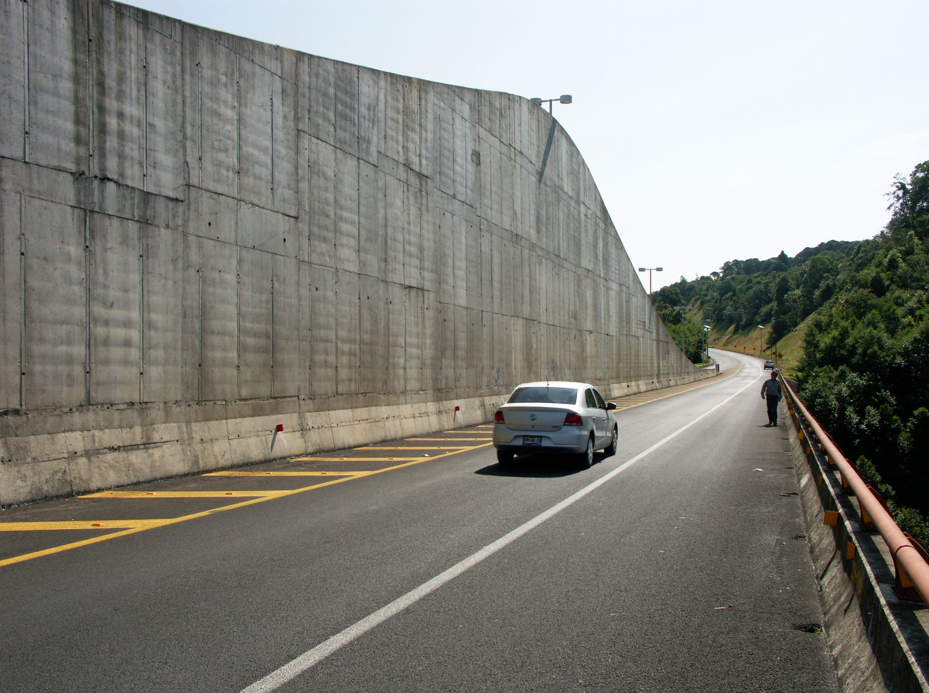
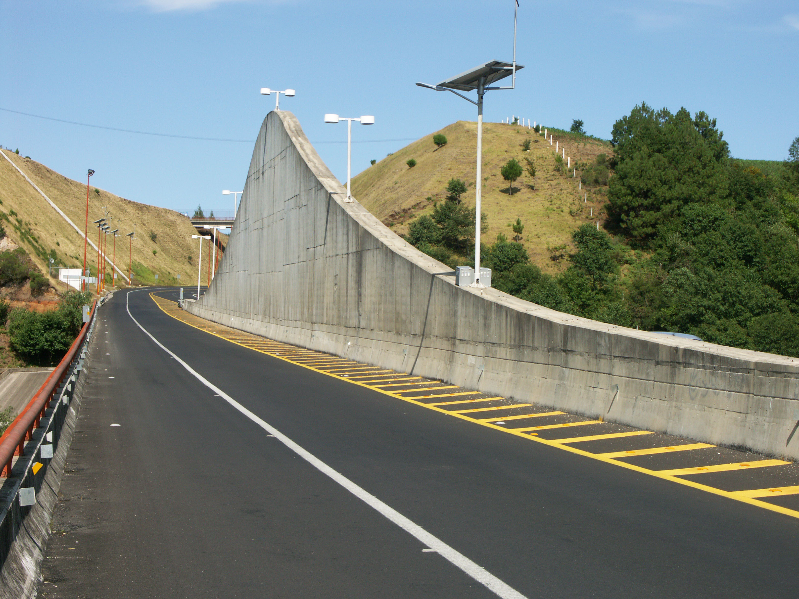
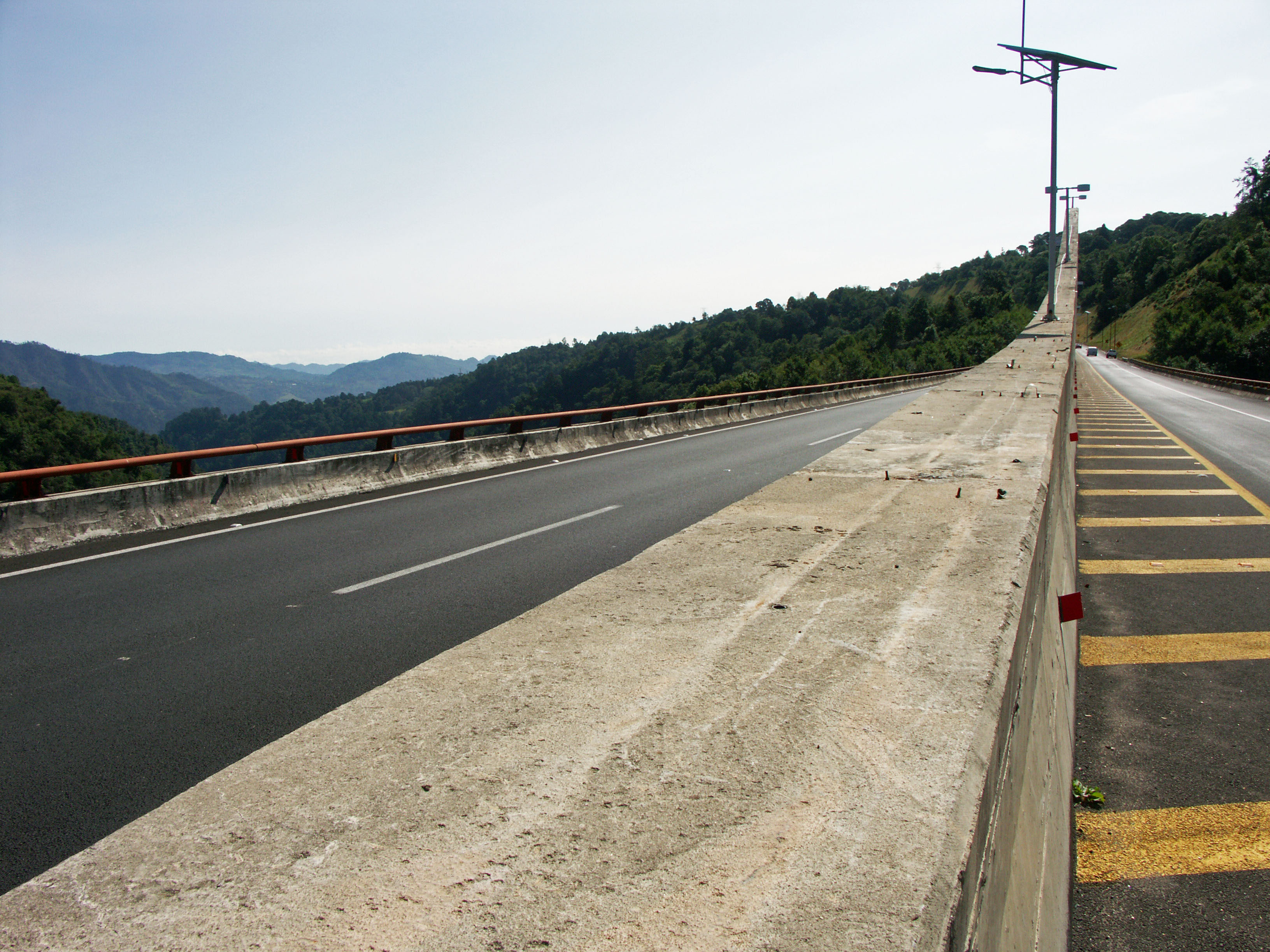
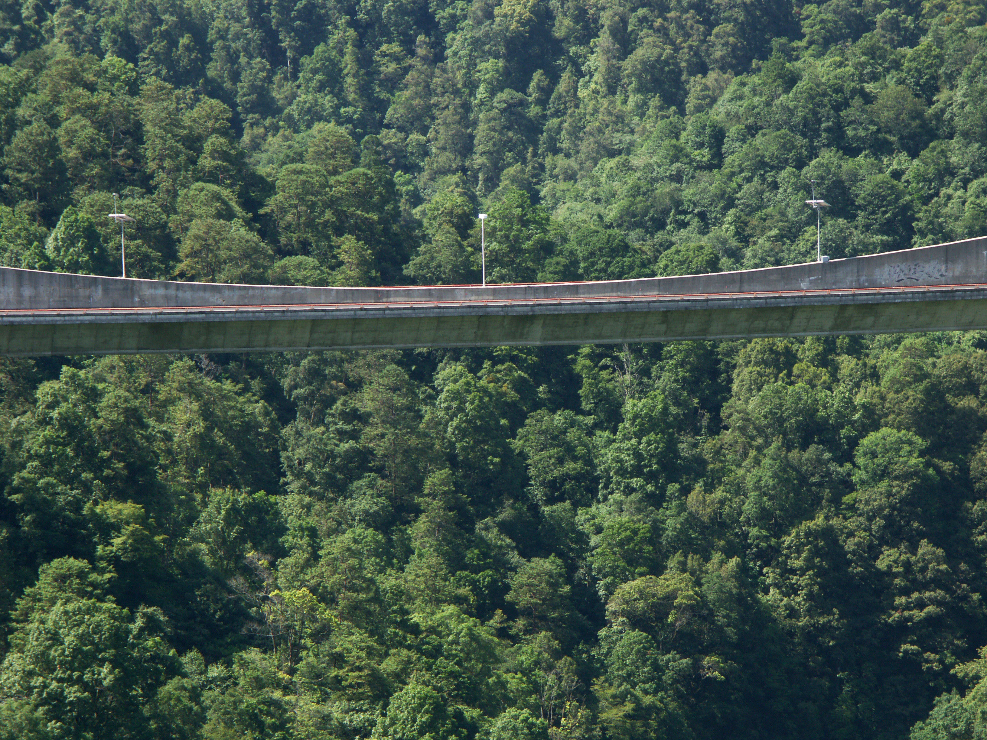
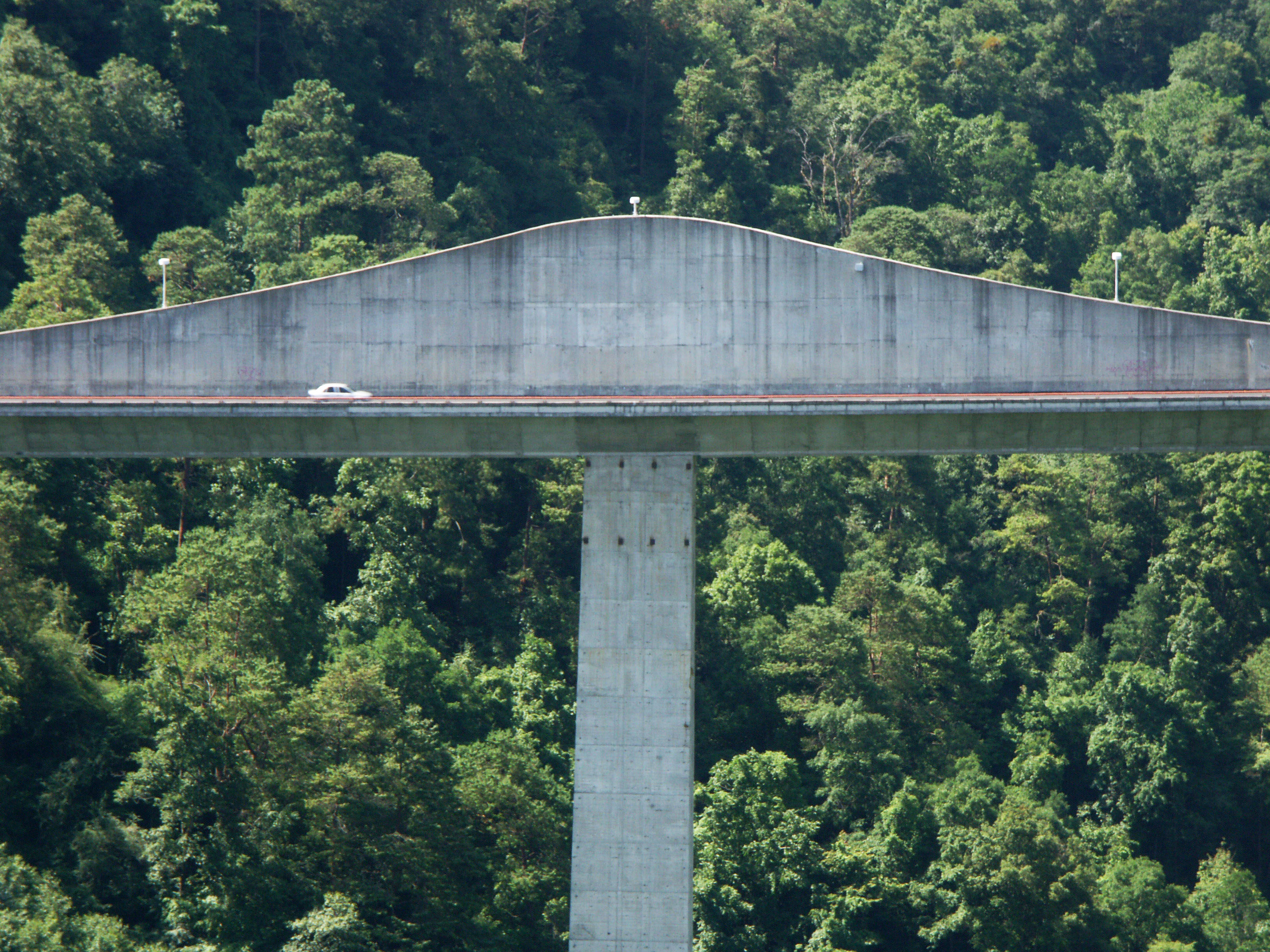
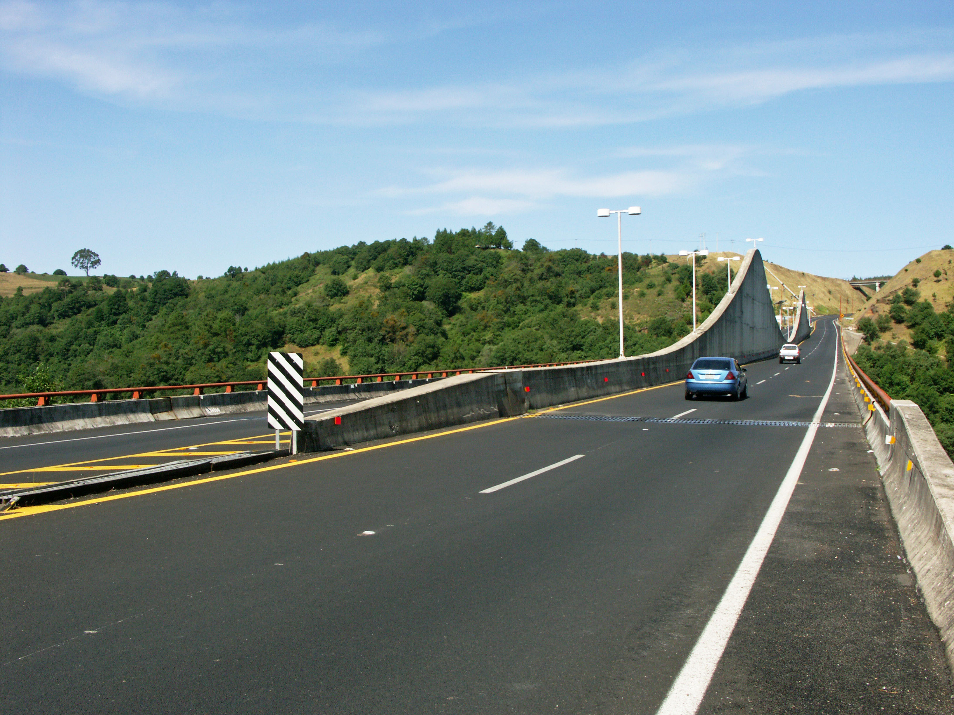
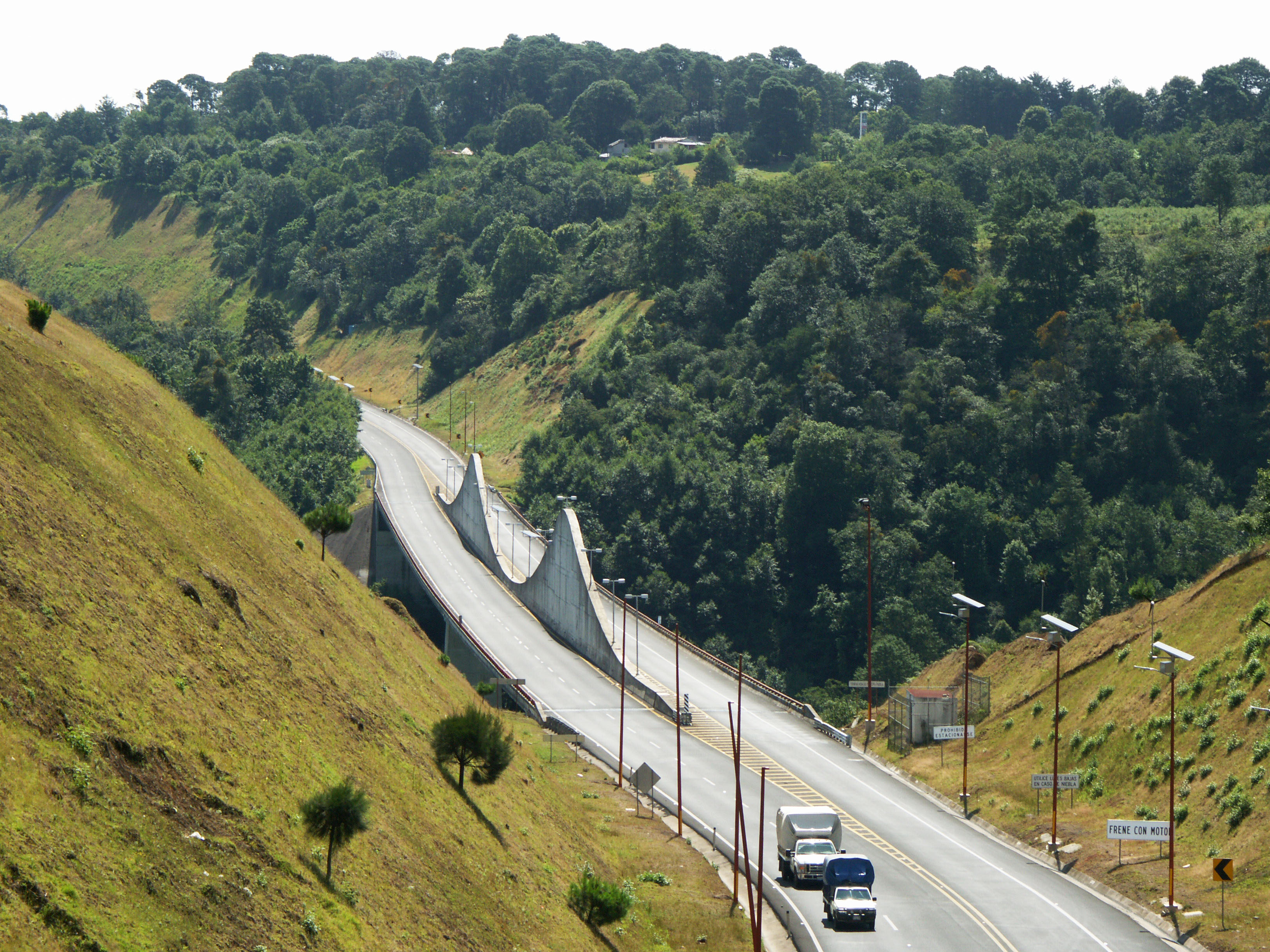
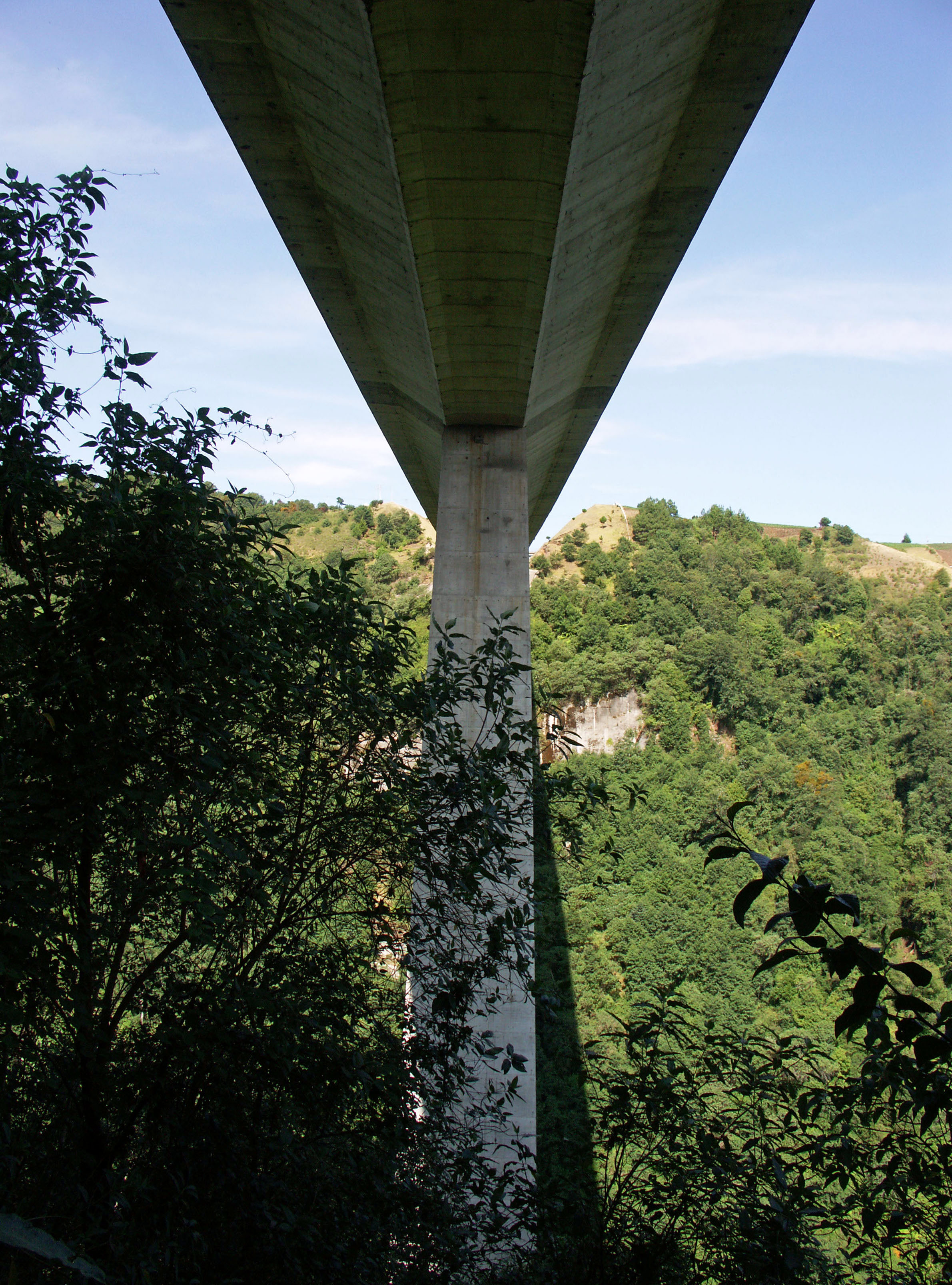
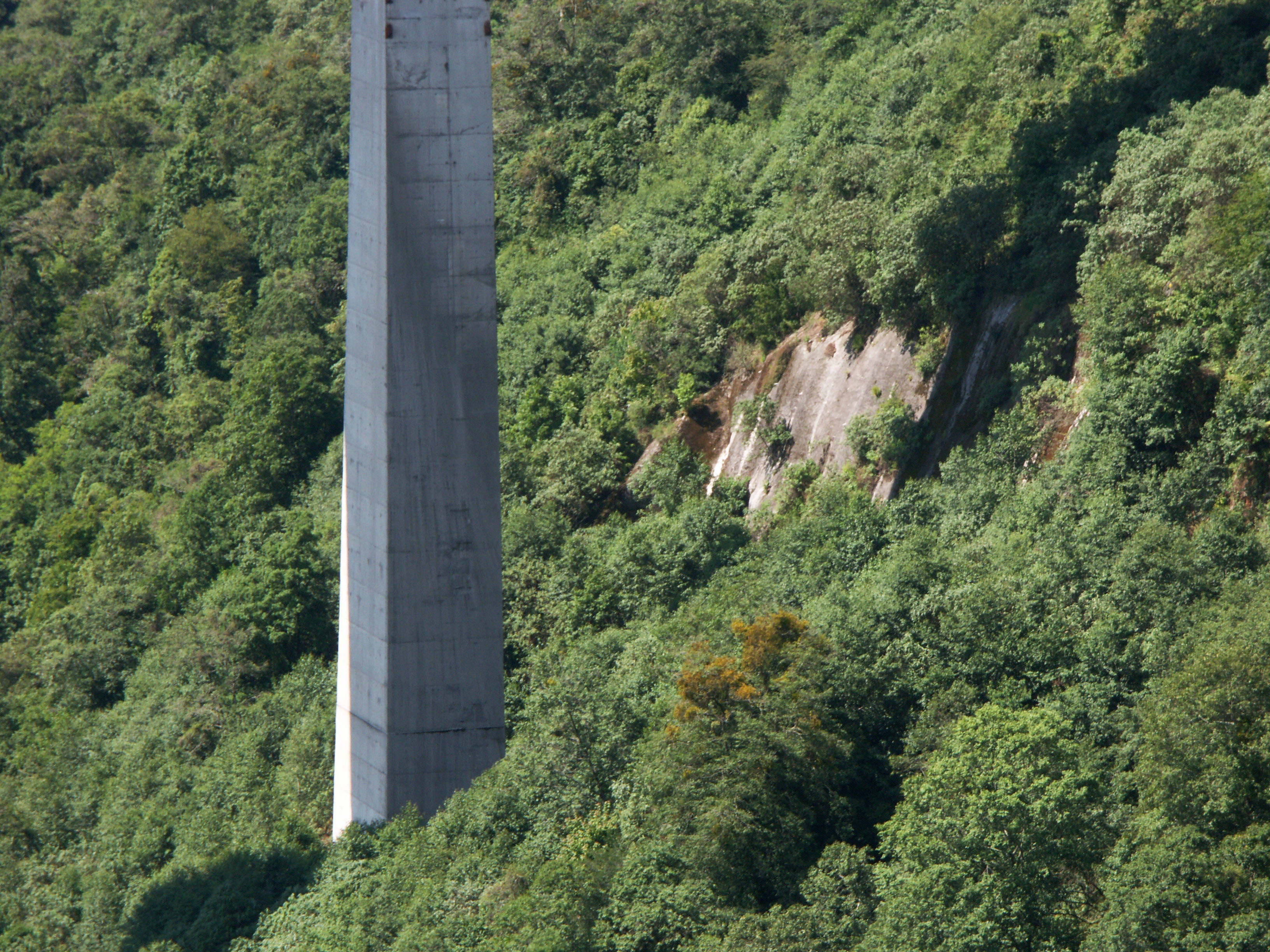
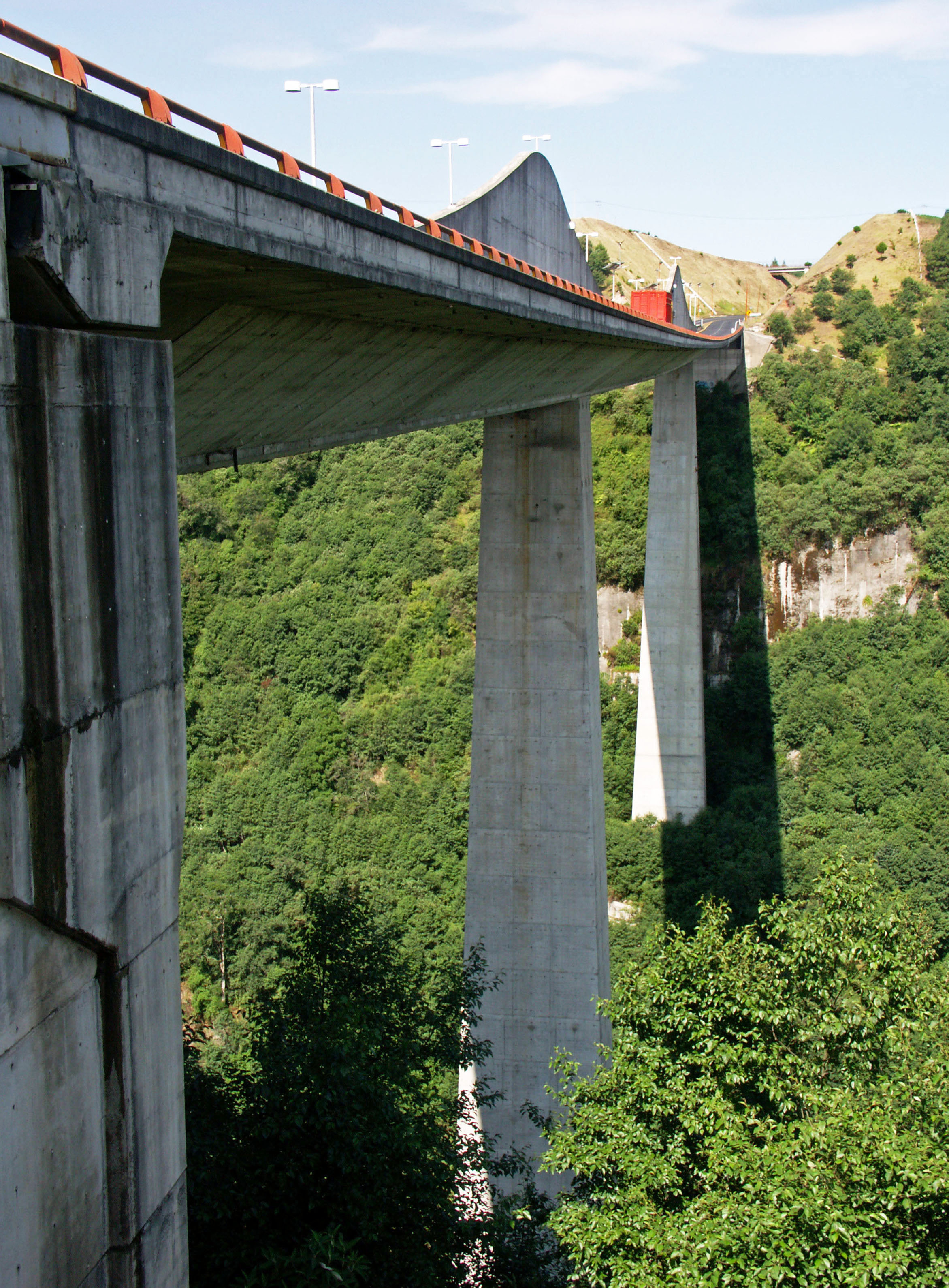
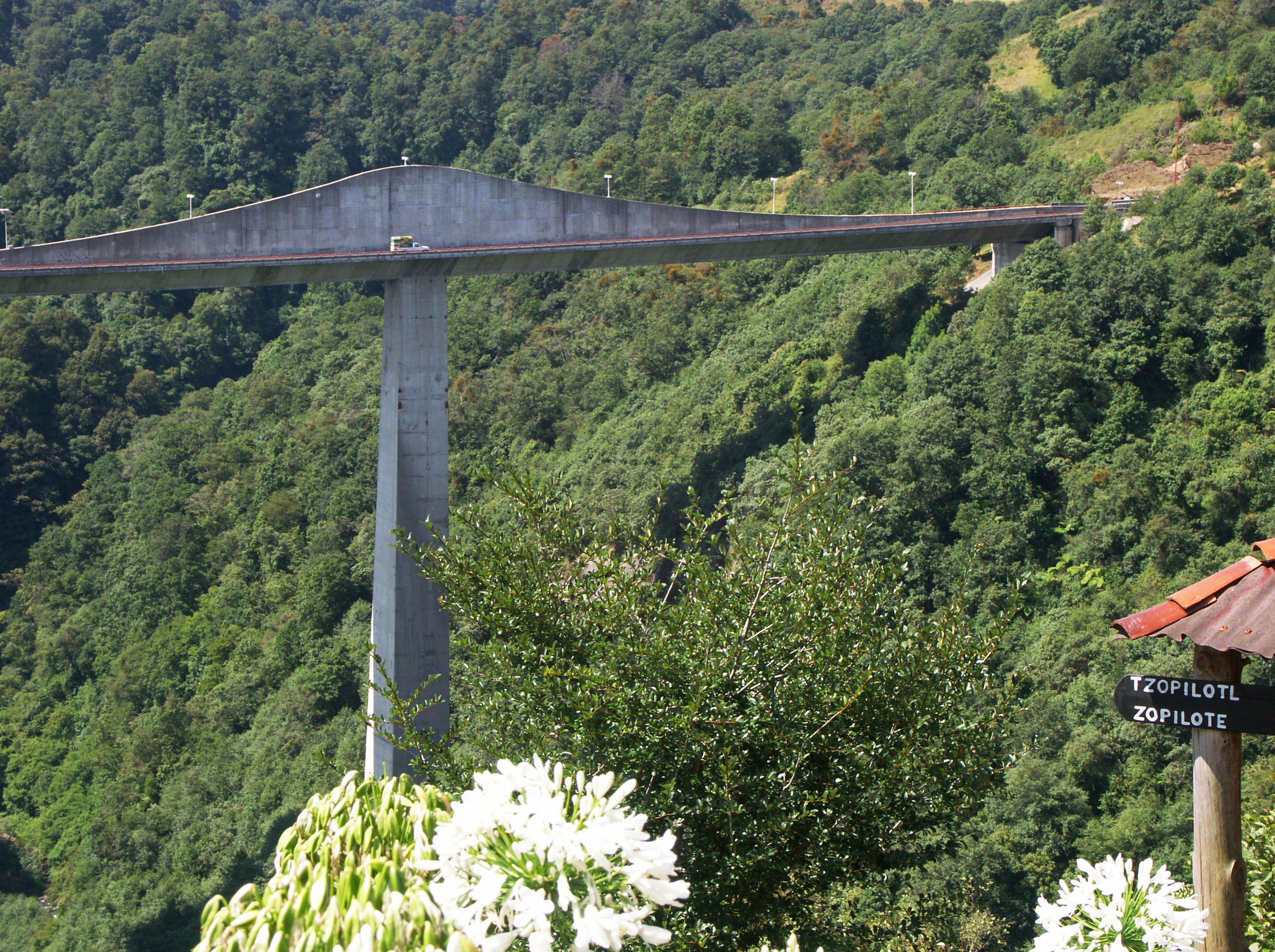
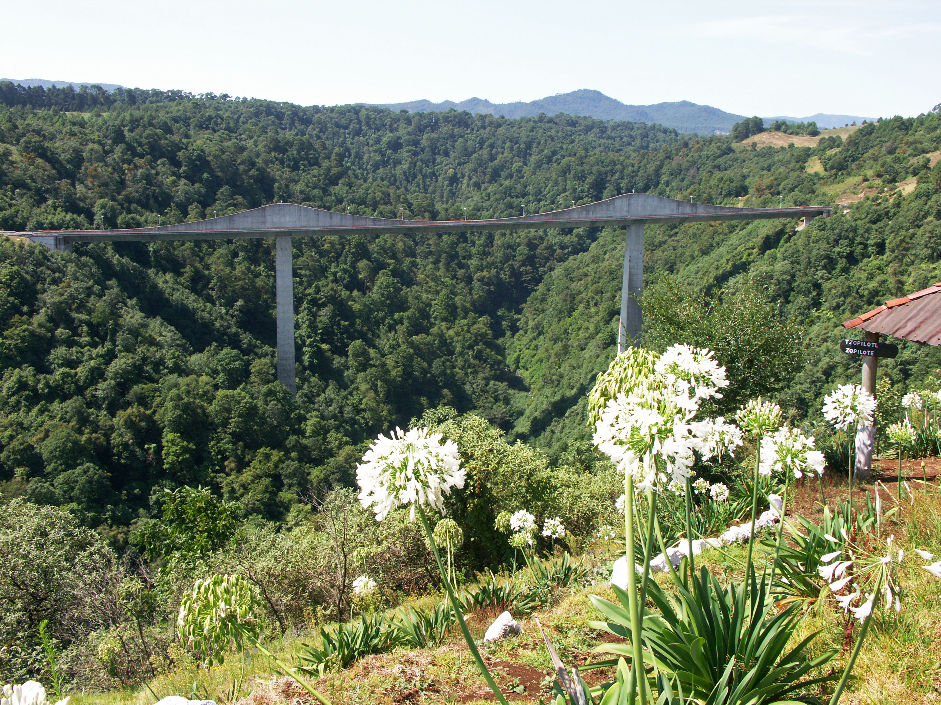
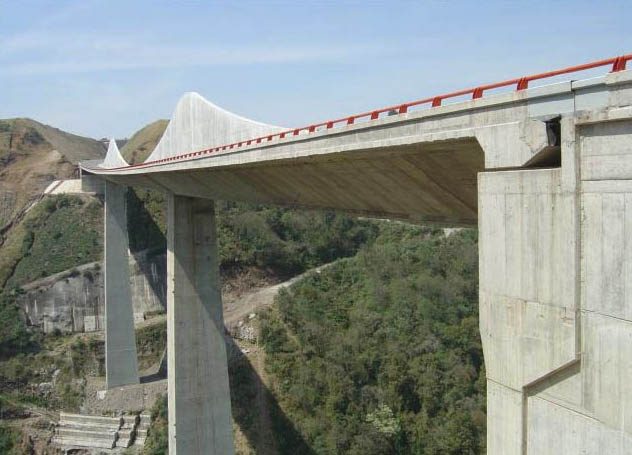
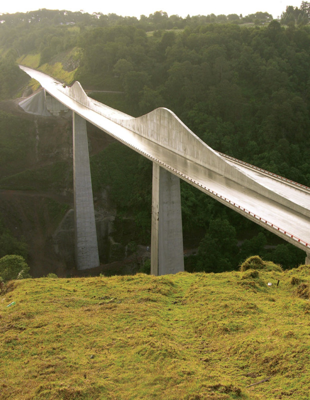
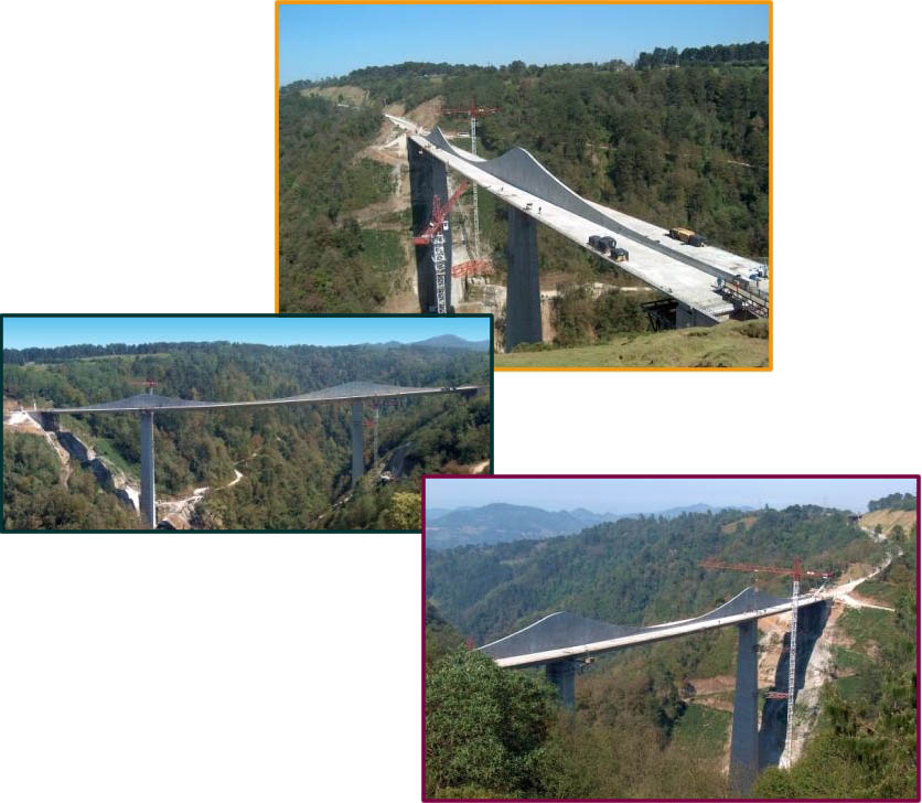
Opened in 2005, the Texcapa bridge is the second large Mexican bridge to use a beam bridge style known as the “fin back”. First used on the towering Papagayo bridge in 1993 on the México City-Acapulco highway, the span is a prestressed beam bridge with a highly variable depth of prestressing. The fin back design is unique for having the internal cables at their highest as they pass over the piers, enclosed in a wall or “fin” of concrete. The double hump profile may look similar to a cable stayed or extradosed bridge but the engineering has more in common with a pure beam bridge. Many consider the lower profile to be more attractive than a conventional prestressed beam bridge.
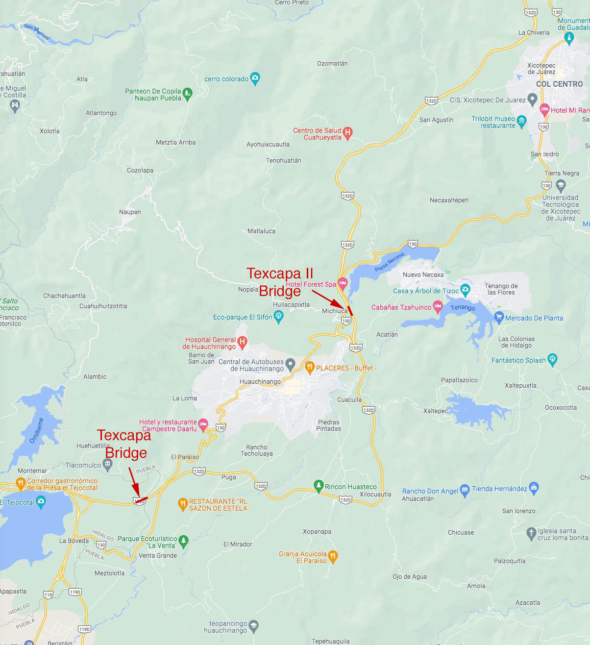
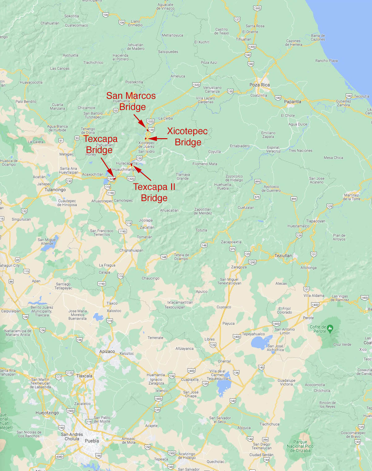
The western half of the 199 mile (320 km) Autopista México-Tuxpan highway was completed in 2005 but the highway ended just a few miles (kms) east of Texcapa bridge. Construction did not begin until 2008 on the most difficult stretch of the highway, the Nuevo Necaxa-Ávila Camacho section named after the two cities it lies between. Just 23 miles (37 kms) long, this final link of highway will contain 9 tunnels and several major bridges including the aforementioned San Marcos river bridge. The San Marcos crossing was originally going to be the biggest fin back bridge ever built but it was relocated and redesigned as a more conventional prestressed concrete beam bridge viaduct. The next 3 highest bridges on the México-Tuxpan route are all prestressed concrete beam bridges and include the 377 foot (115 mtr) high Puente Zoquita, the 351 foot (107 mtr) high Puente Sin Nombre and the 154 foot (47 mtr) high Texcapa II that will cross the Necaxa river a second time 6 miles (10 kms) east of the 2005 bridge. The final section of this highway should be complete by 2012.
The first fin back bridge was built in Nuremberg, Germany for a commuter railway in 1969. In the U.S., the only one is the 1987 built Barton Creek bridge near Austin, Texas with a main span of 340 feet (103.5 mtrs).
Image by Eric Sakowski / HighestBridges.com
Image by Eric Sakowski / HighestBridges.com
Image by Eric Sakowski / HighestBridges.com
Image by Eric Sakowski / HighestBridges.com
Image by Eric Sakowski / HighestBridges.com
Image by Eric Sakowski / HighestBridges.com
Image by Eric Sakowski / HighestBridges.com
Image by Eric Sakowski / HighestBridges.com
Image by Eric Sakowski / HighestBridges.com
Image by Eric Sakowski / HighestBridges.com
Image by Eric Sakowski / HighestBridges.com
Image by Eric Sakowski / HighestBridges.com
Image by Eric Sakowski / HighestBridges.com
Image by Eric Sakowski / HighestBridges.com
Image by Eric Sakowski / HighestBridges.com
Image by Eric Sakowski / HighestBridges.com
Image by Eric Sakowski / HighestBridges.com
Image by Eric Sakowski / HighestBridges.com
Image by Eric Sakowski / HighestBridges.com
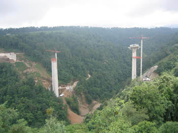
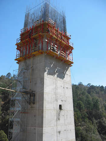
Image by Grupo Triada.
Images by Grupo Triada.
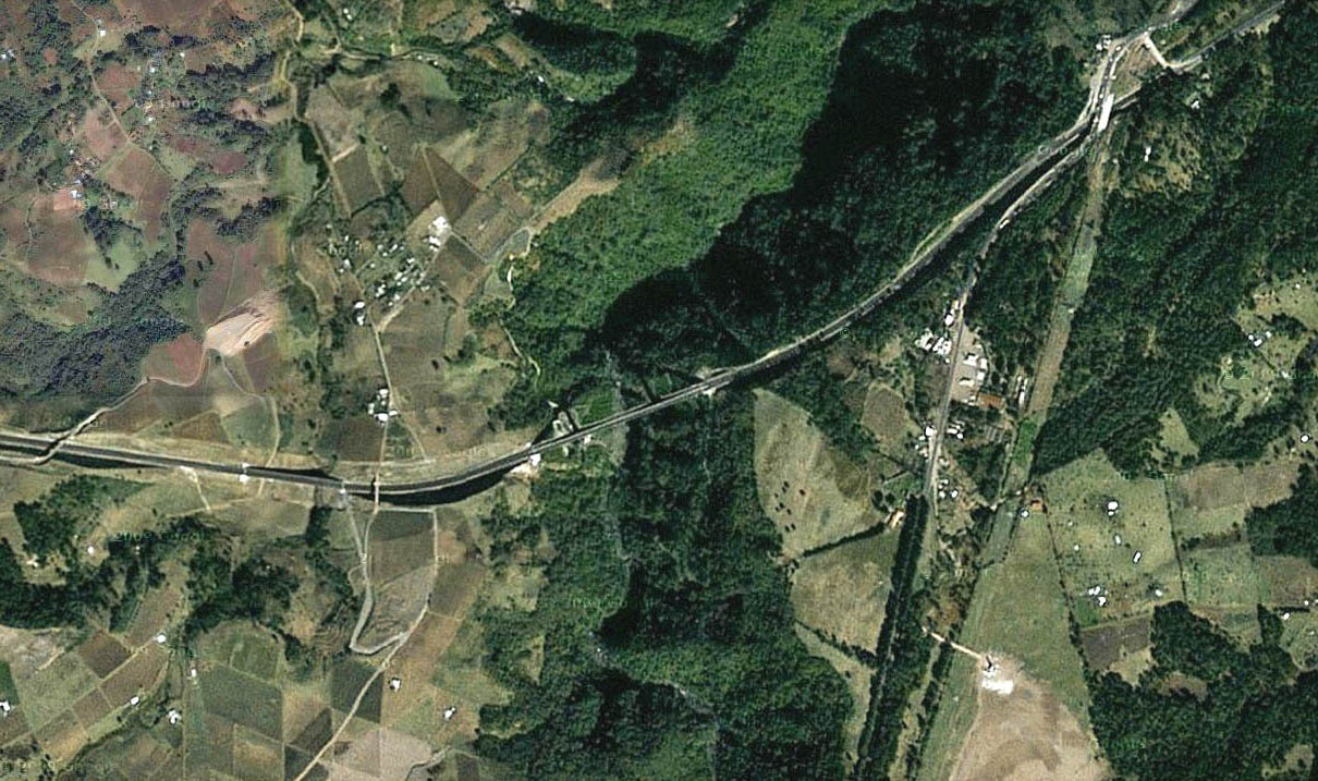
Texcapa Bridge satellite image.
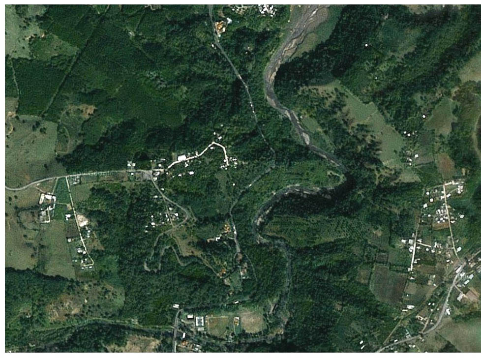
Satellite view of the future site of the Texcapa II Bridge 6 miles (10 kms) east of the original Texcapa bridge.
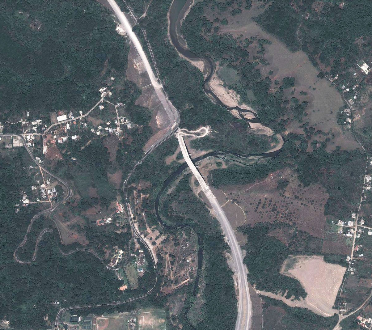
Updated satellite view of the newly completed Texcapa II Bridge from 2011. This section of highway finally opened in 2013.
Texcapa Bridge location map.
