Difference between revisions of "Sanchahe Bridge Xiarong"
(Created page with '<div style="font-size: 25px; text-align: center;"> Sanchahe Bridge Xiarong<br /> 三岔河特大桥<br /> Liuchangxiang, Guizhou, China<br /> 719 feet high / 219 meters high<br /…') |
|||
| (11 intermediate revisions by the same user not shown) | |||
| Line 1: | Line 1: | ||
<div style="font-size: 25px; text-align: center;"> | <div style="font-size: 25px; text-align: center;"> | ||
Sanchahe Bridge Xiarong<br /> | Sanchahe Bridge Xiarong<br /> | ||
| − | + | 厦蓉高速三岔河大桥<br /> | |
Liuchangxiang, Guizhou, China<br /> | Liuchangxiang, Guizhou, China<br /> | ||
719 feet high / 219 meters high<br /> | 719 feet high / 219 meters high<br /> | ||
755 foot span / 230 meter span<br /> | 755 foot span / 230 meter span<br /> | ||
2015<br /> | 2015<br /> | ||
| − | [[File: | + | [[File:SanchaheWide.jpg|750px|center]] |
</div> | </div> | ||
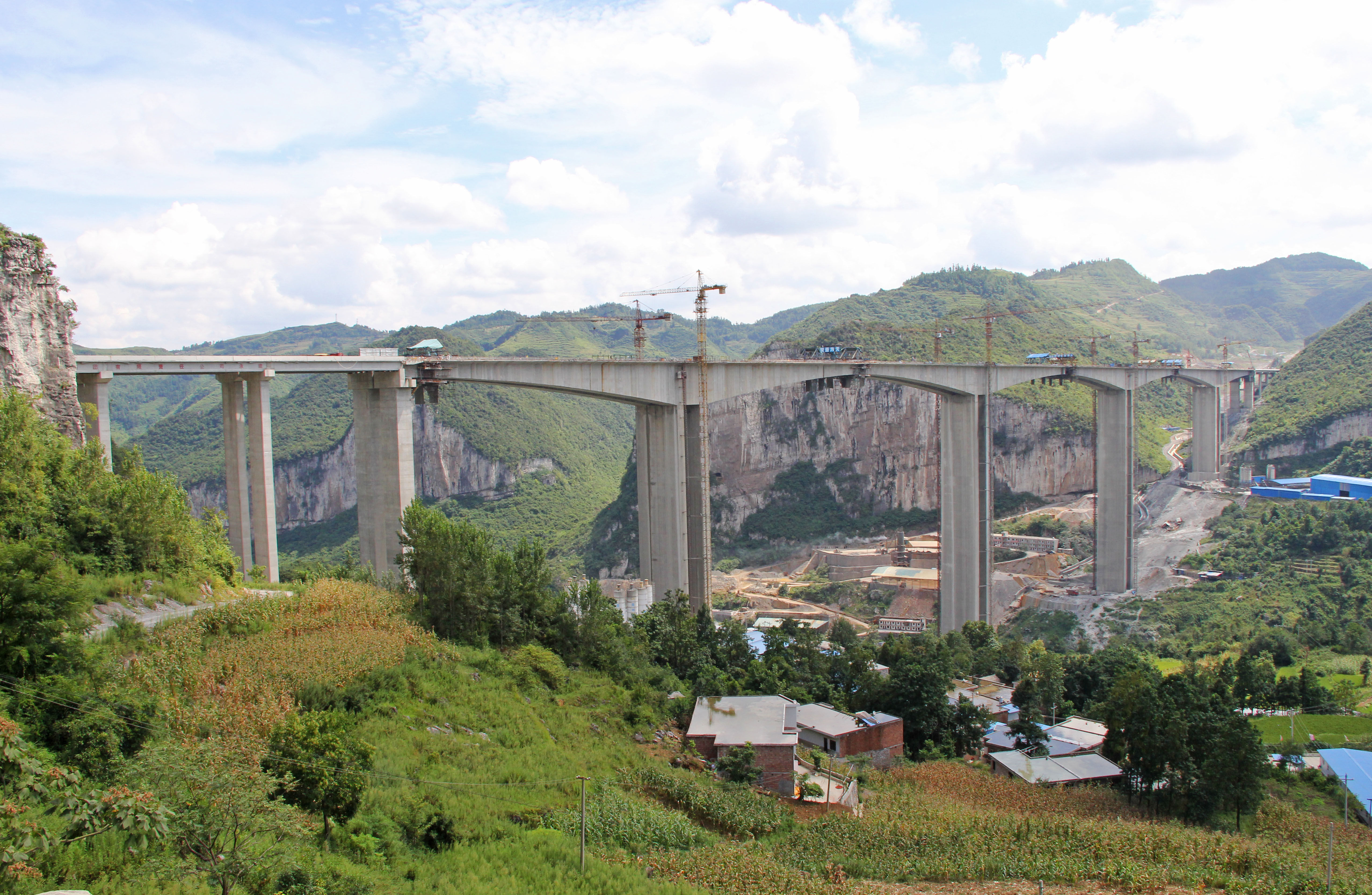
| − | One of the | + | One of the 25 largest viaducts in the world, the herculean Sanchahe Bridge Xiarong is one of many high beam spans on the G76 expressway, the world's greatest high bridge highway. The Sancha River is the southern fork of the great Wujiang river, the longest and most famous in Guizhou Province. To get across this spacious valley 30 kilometers west of Guiyang city, the engineers went with an arrangement of three central spans of 230 meters each with many approach spans of 40 and 30 meters. The 4-lane structure is 24.5 meters wide with solid piers as tall as 135 meters. Approach spans bring the total length to 1560 meters. |
| + | |||
| + | The beam is 12 meters wide with a depth of 14.5 meters over the piers and 4.5 meters at midspan. | ||
<div style="text-align: center; font-size: 25px;"> | <div style="text-align: center; font-size: 25px;"> | ||
| − | [[File: | + | [[File:SanchaheElevationDrawing.jpg|900px|center]]<br /> |
| − | + | Sanchahe Bridge Xiarong Elevation<br /> | |
</div> | </div> | ||
| + | |||
| + | |||
| + | [[File:SanchaheElevationCopy.jpg|900px|center]] | ||
| + | |||
| + | |||
| + | [[File:SanchahePlan.jpg|900px|center]] | ||
| + | |||
| + | |||
| + | [[File:Sanchahe2014View.jpg|750px|center]] | ||
| + | Image by Eric Sakowski / HighestBridges.com | ||
| + | |||
| + | |||
| + | [[File:SanchaheCanyonView.jpg|750px|center]] | ||
| + | Image by Eric Sakowski / HighestBridges.com | ||
| + | |||
| + | |||
| + | [[File:SanchaheLonglens.jpg|750px|center]] | ||
| + | Image by Eric Sakowski / HighestBridges.com | ||
| + | |||
| + | |||
| + | [[File:SanchahePierLineup.jpg|750px|center]] | ||
| + | Image by Eric Sakowski / HighestBridges.com | ||
| + | |||
| + | |||
| + | [[File:SanchaheWestEnd.jpg|750px|center]] | ||
| + | Image by Eric Sakowski / HighestBridges.com | ||
| + | |||
| + | |||
| + | [[File:SanchaheWideSlope.jpg|750px|center]] | ||
| + | Image by Eric Sakowski / HighestBridges.com | ||
| + | |||
| + | |||
| + | [[File:SanchaheAerial.jpg|750px|center]] | ||
| + | |||
| + | |||
| + | [[File:SanchaheUpstream.jpg|750px|center]] | ||
| + | Sanchahe upstream canyon view. Image by Eric Sakowski / HighestBridges.com | ||
| + | |||
| + | |||
| + | [[File:SanchaheDownstream.jpg|750px|center]] | ||
| + | Image by Eric Sakowski / HighestBridges.com | ||
| + | |||
| + | |||
| + | [[File:Sancha2013Piers.jpg|750px|center]] | ||
| Line 37: | Line 83: | ||
[[File:SanchaBridgeHighway.jpg|750px|center]] | [[File:SanchaBridgeHighway.jpg|750px|center]] | ||
| + | |||
| + | |||
| + | [[File:Sanchahe Bridge XiarongSatellite.jpg|750px|center]] | ||
| + | Sanchahe Bridge Xiarong satellite image. | ||
| + | |||
| + | |||
| + | [[File:SanchaUpdateSatellite.jpg|750px|center]] | ||
| + | |||
| + | |||
| + | [[File:SanchaSatelliteUpdateWide.jpg|750px|center]] | ||
[[File:SanchaG76Satellite&Bridge.jpg|750px|center]] | [[File:SanchaG76Satellite&Bridge.jpg|750px|center]] | ||
| − | + | Sanchahe Bridge Xiarong satellite image before construction began. | |
| Line 46: | Line 102: | ||
| − | [[File: | + | [[File:NajieheRailwayLocationMap.jpg|750px|center]] |
| − | + | Sanchahe Bridge Xiarong location map. | |
[[Category:Bridges in China]] | [[Category:Bridges in China]] | ||
Latest revision as of 01:28, 5 March 2024
Sanchahe Bridge Xiarong
厦蓉高速三岔河大桥
Liuchangxiang, Guizhou, China
719 feet high / 219 meters high
755 foot span / 230 meter span
2015
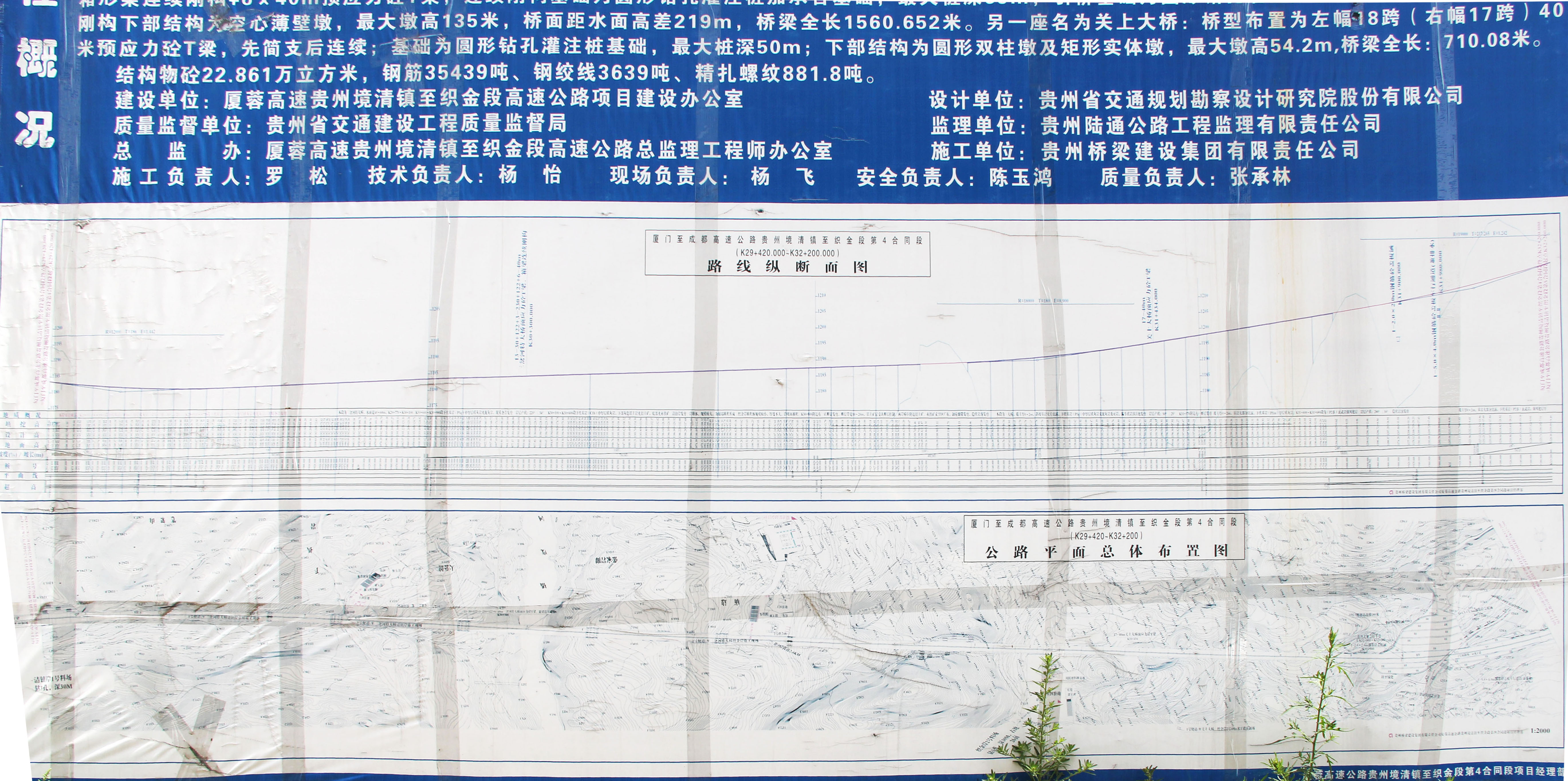
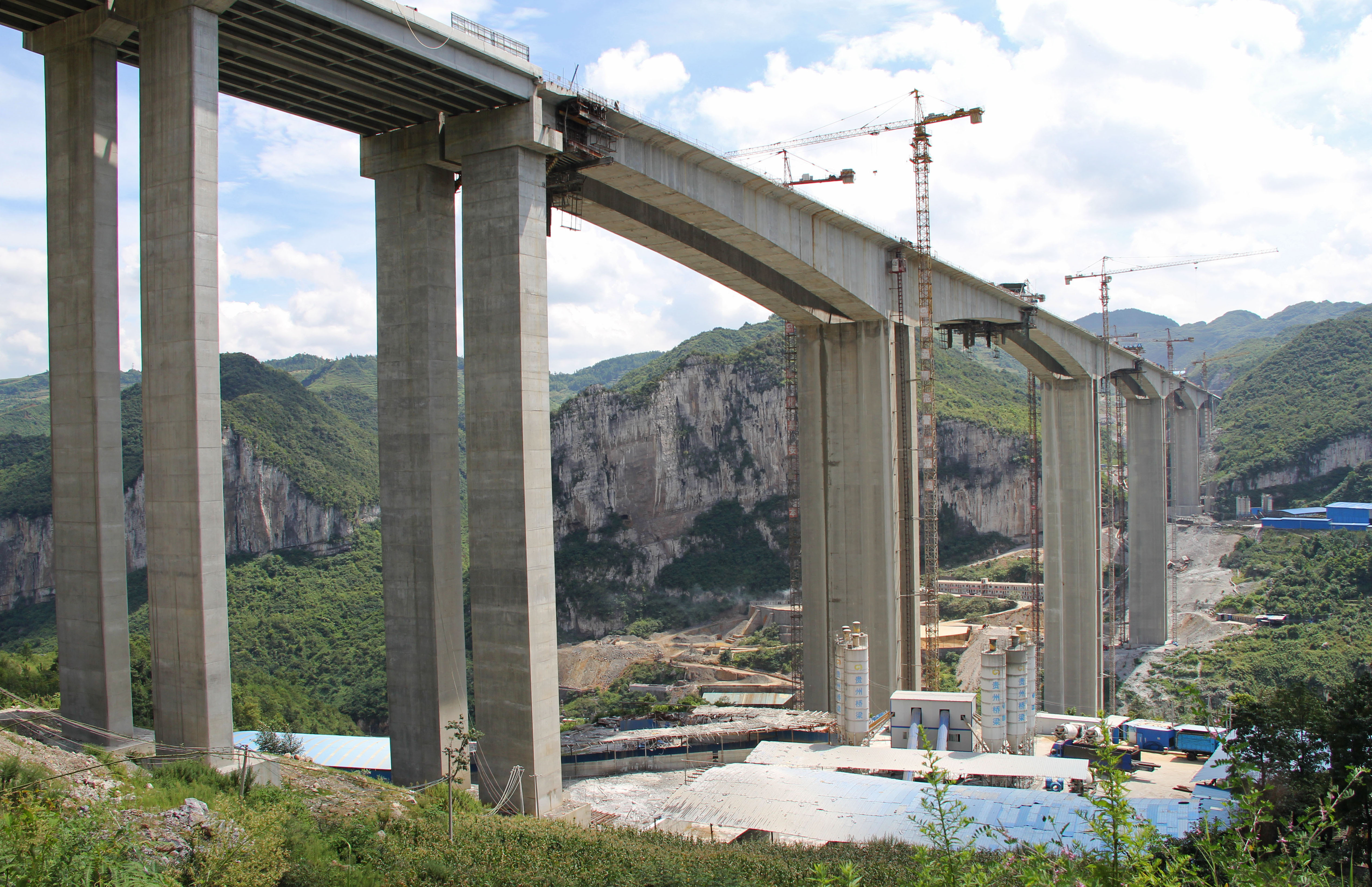
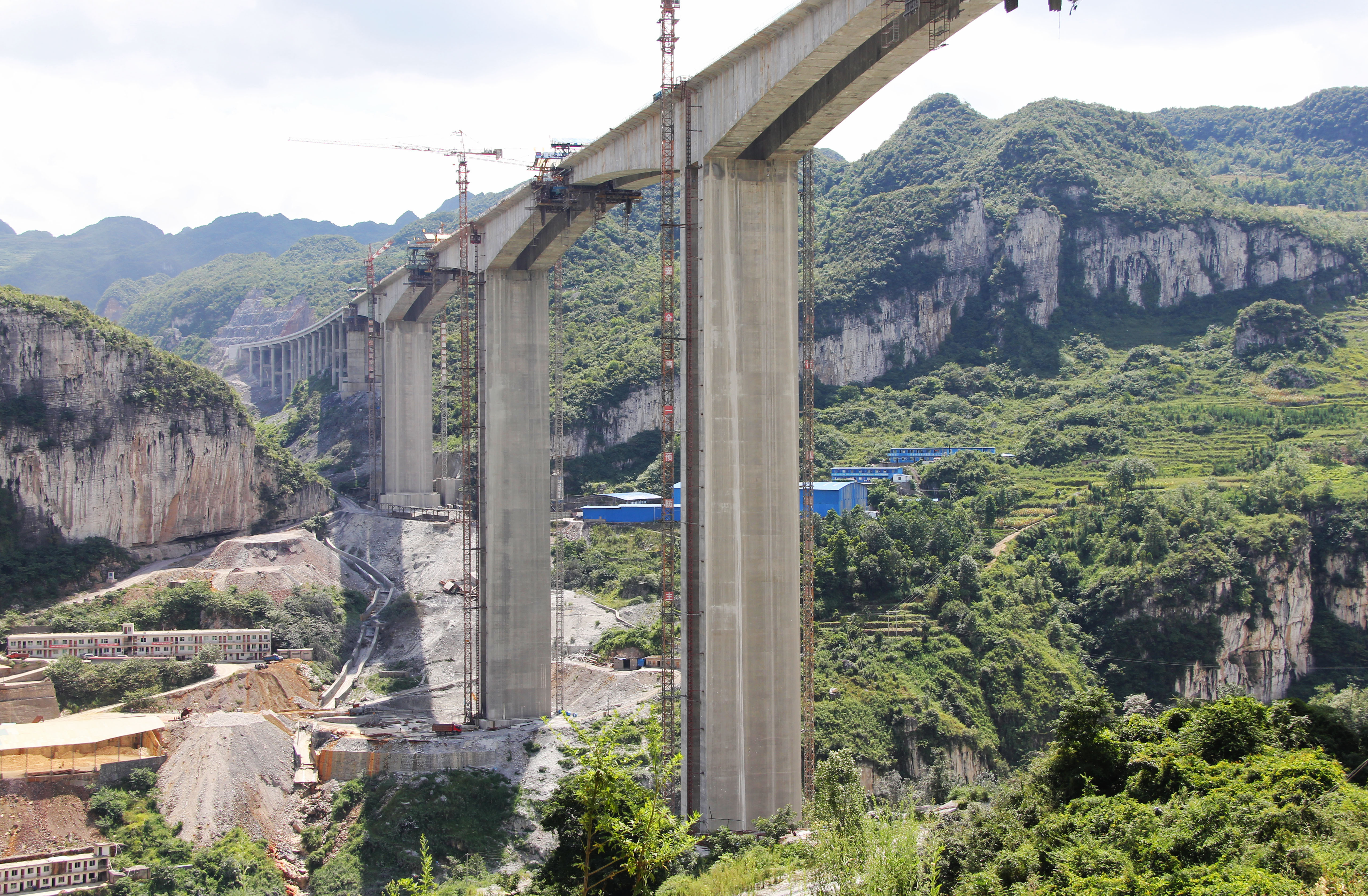
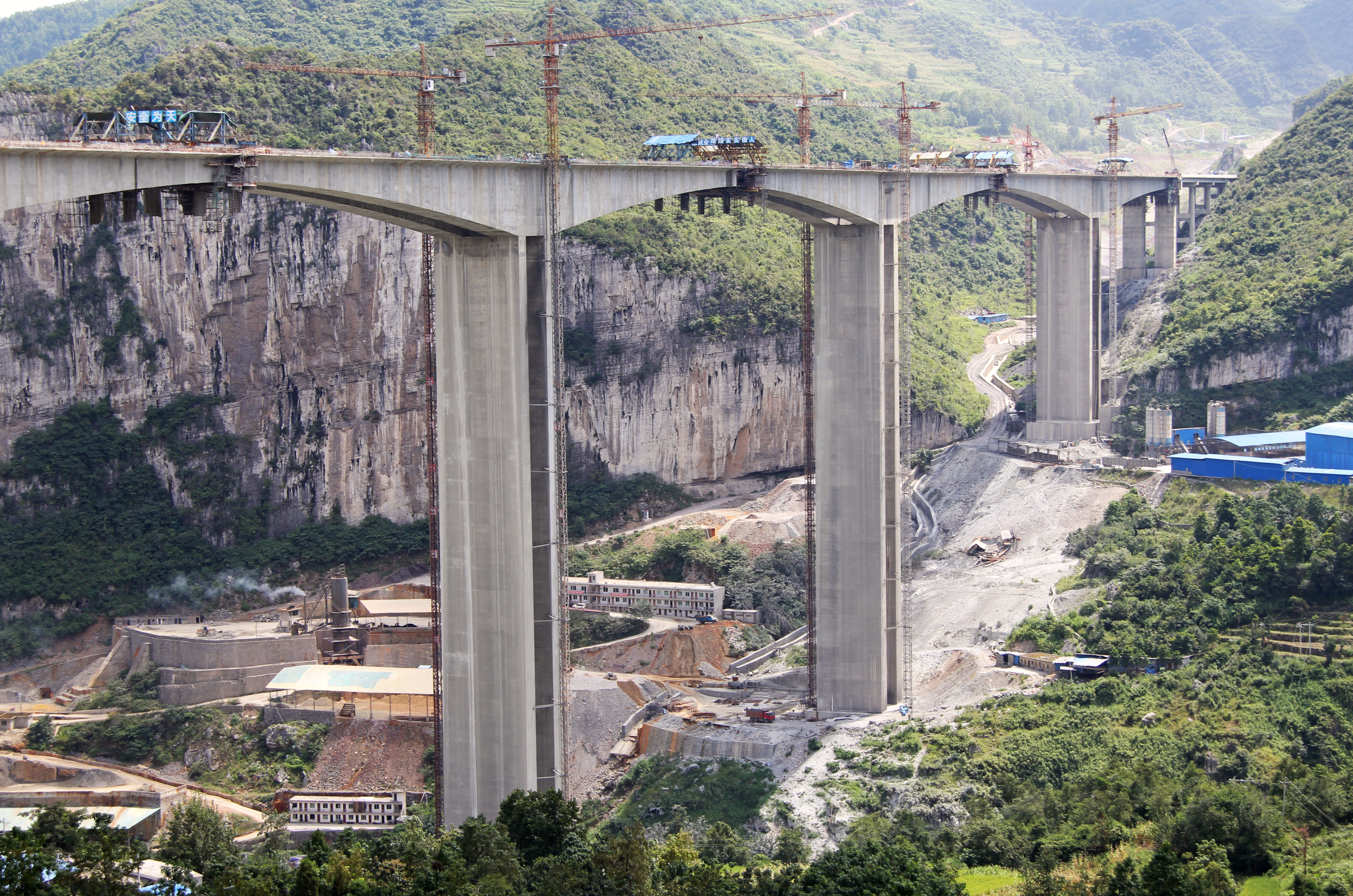
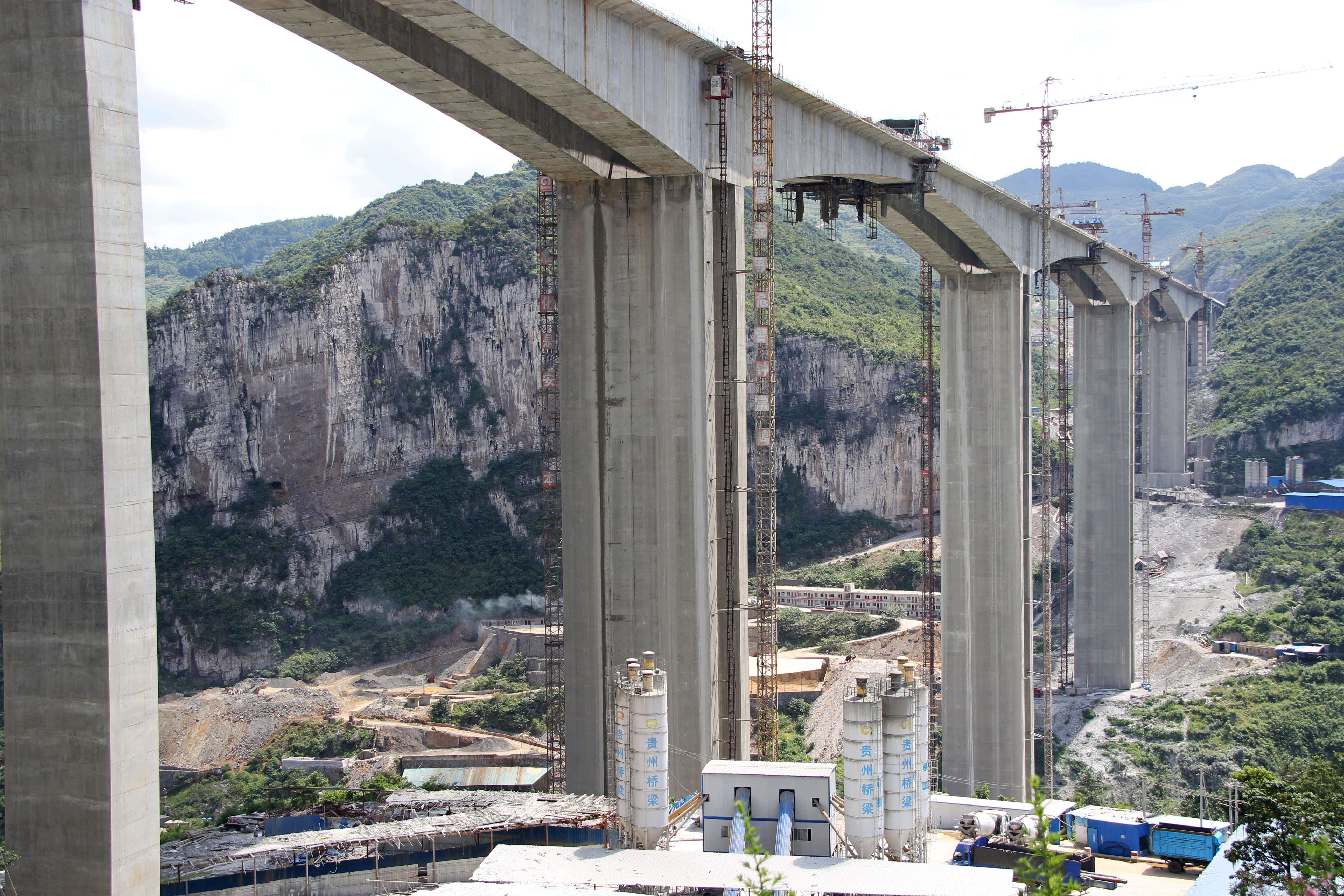
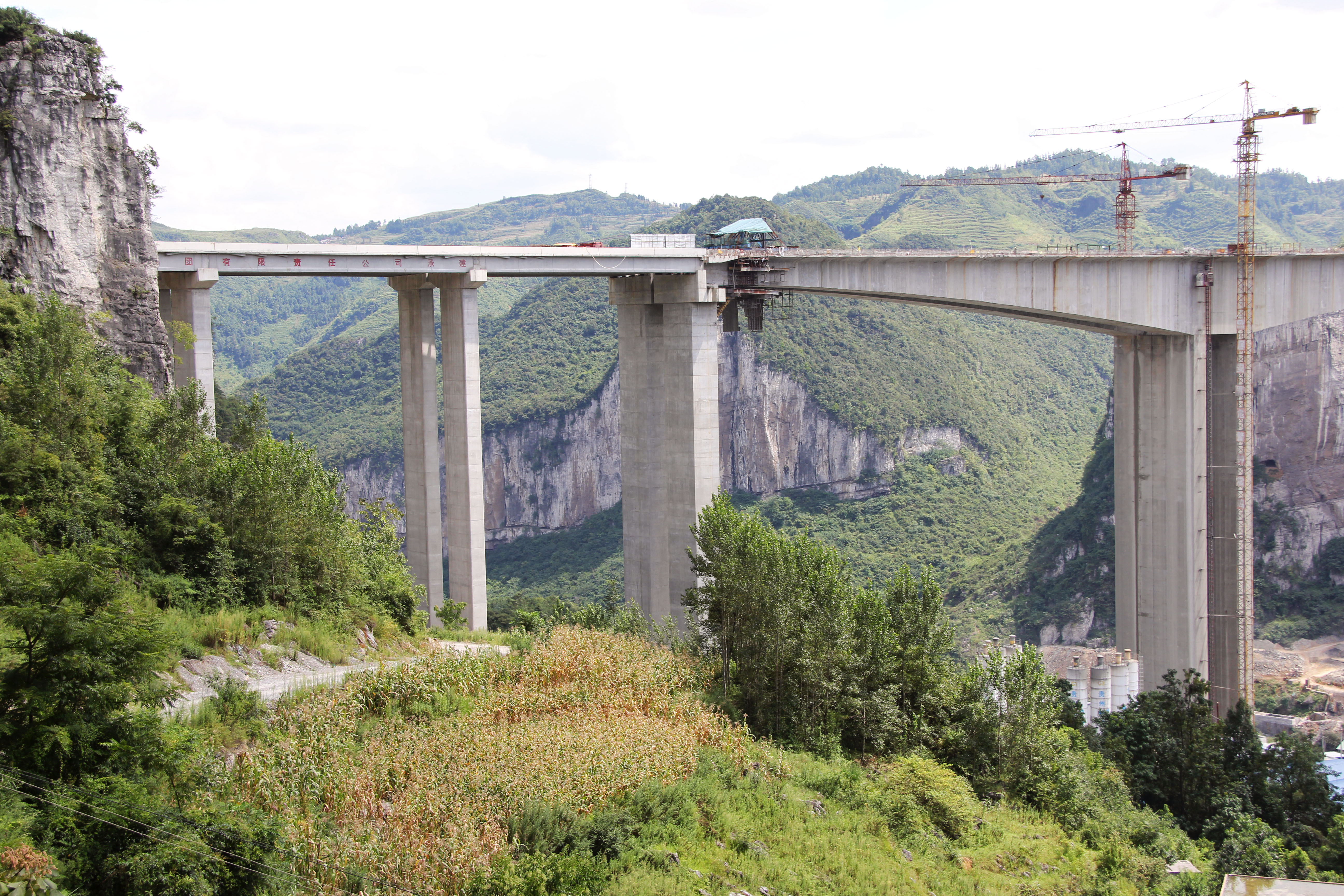
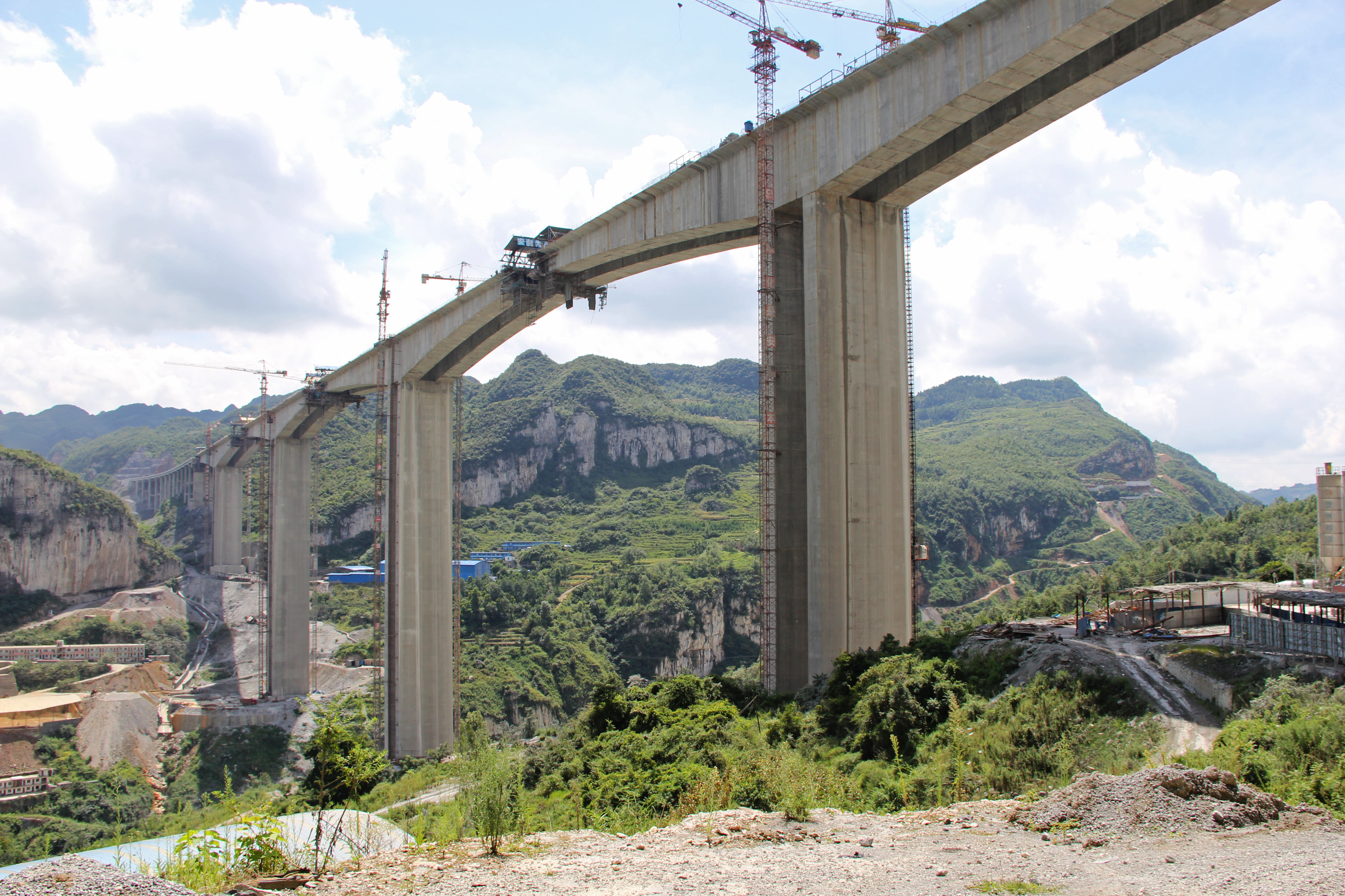
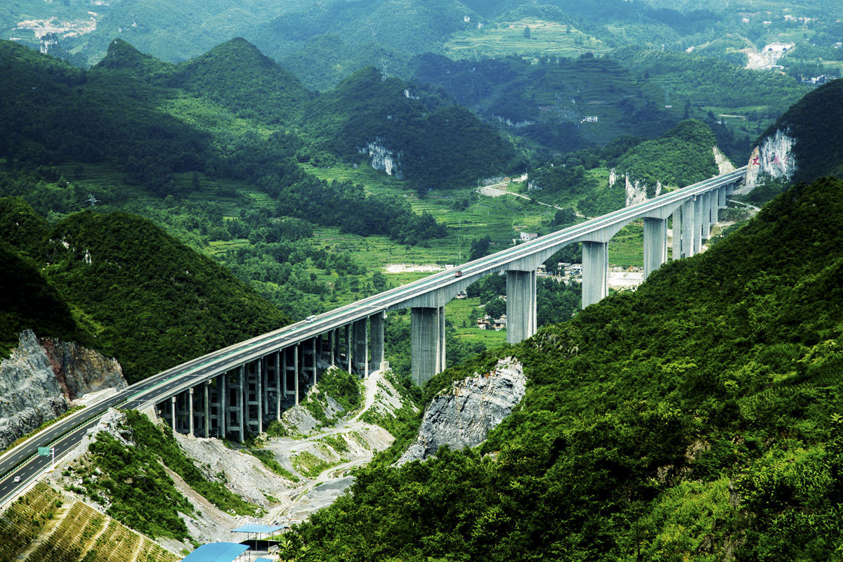
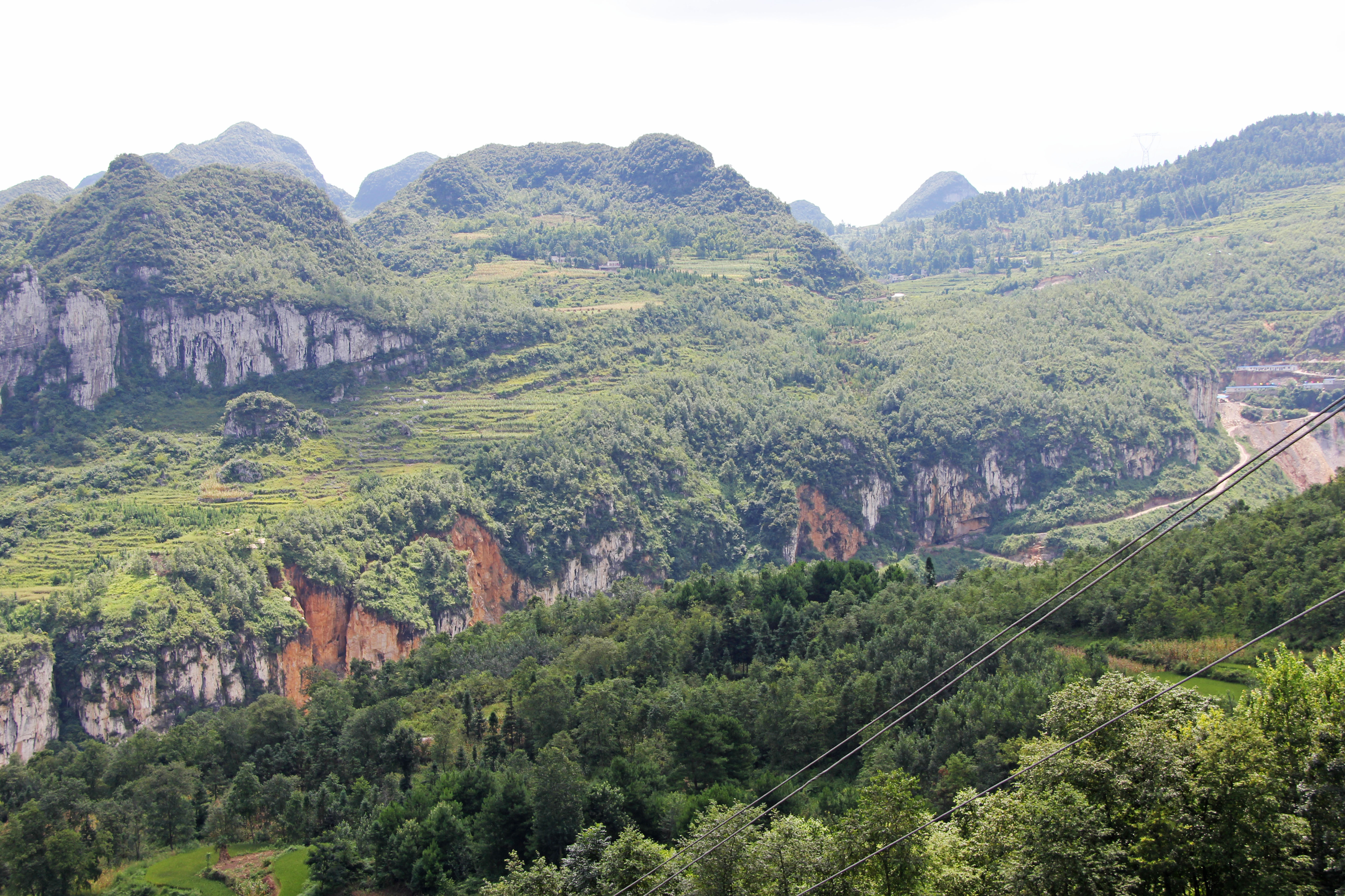
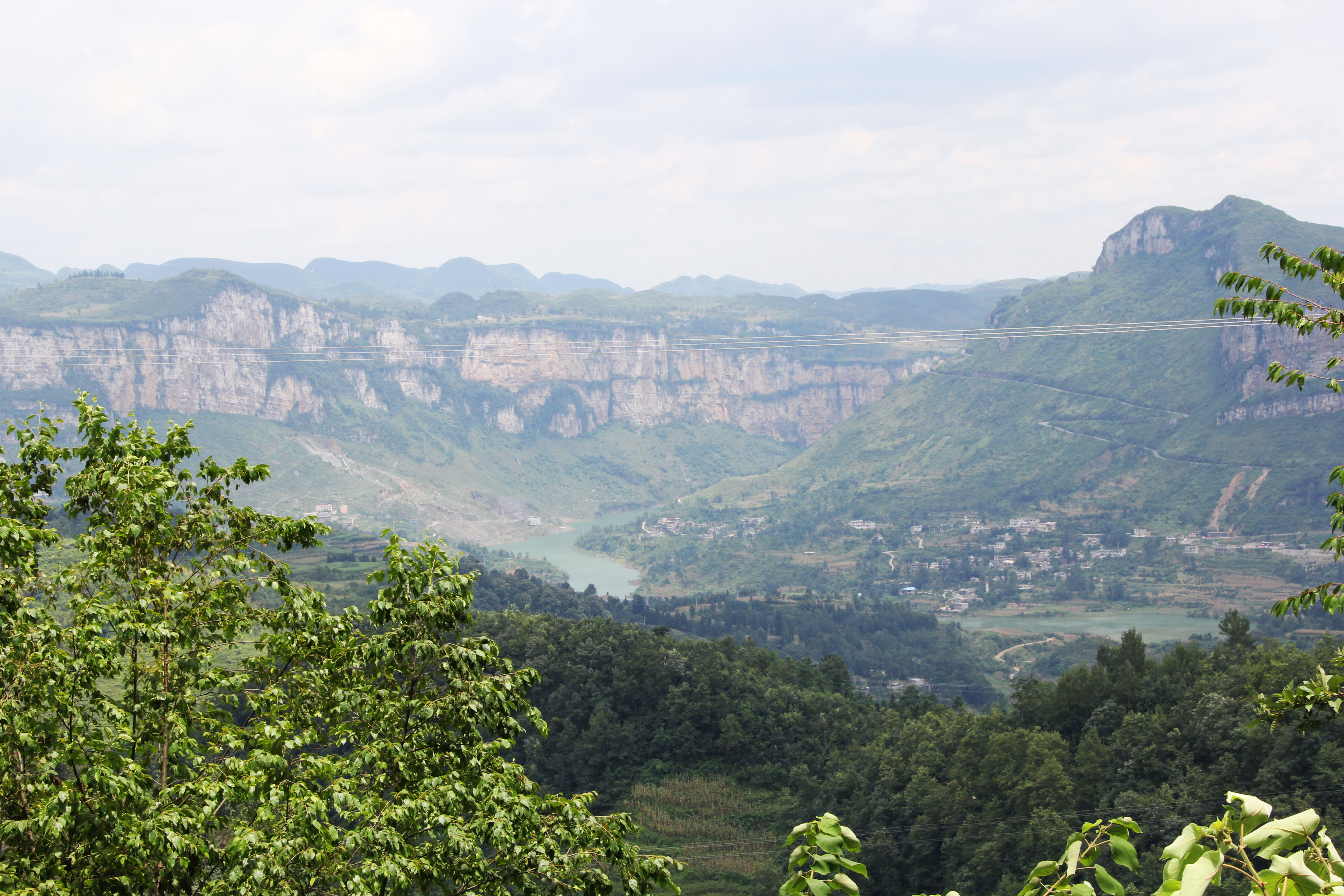
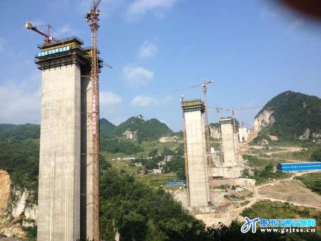
One of the 25 largest viaducts in the world, the herculean Sanchahe Bridge Xiarong is one of many high beam spans on the G76 expressway, the world's greatest high bridge highway. The Sancha River is the southern fork of the great Wujiang river, the longest and most famous in Guizhou Province. To get across this spacious valley 30 kilometers west of Guiyang city, the engineers went with an arrangement of three central spans of 230 meters each with many approach spans of 40 and 30 meters. The 4-lane structure is 24.5 meters wide with solid piers as tall as 135 meters. Approach spans bring the total length to 1560 meters.
The beam is 12 meters wide with a depth of 14.5 meters over the piers and 4.5 meters at midspan.
Image by Eric Sakowski / HighestBridges.com
Image by Eric Sakowski / HighestBridges.com
Image by Eric Sakowski / HighestBridges.com
Image by Eric Sakowski / HighestBridges.com
Image by Eric Sakowski / HighestBridges.com
Image by Eric Sakowski / HighestBridges.com
Sanchahe upstream canyon view. Image by Eric Sakowski / HighestBridges.com
Image by Eric Sakowski / HighestBridges.com
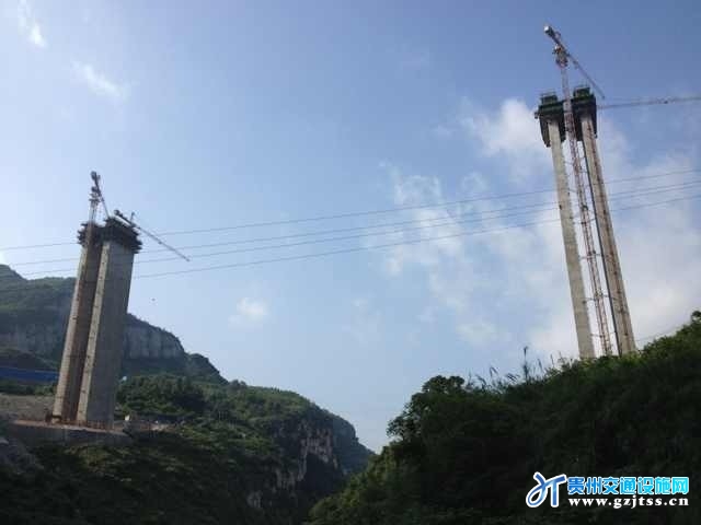
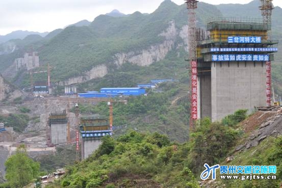
Image by www.gzjtss.cn.
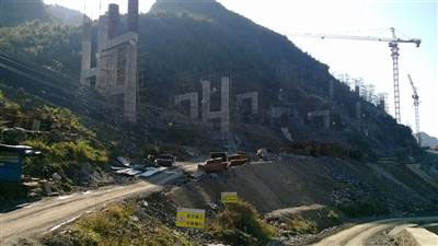
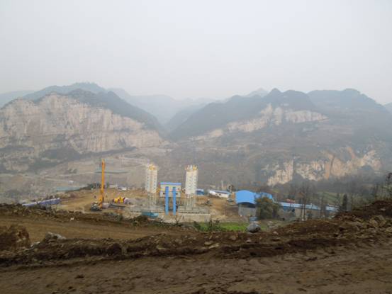
Image by www.gzjtss.cn.
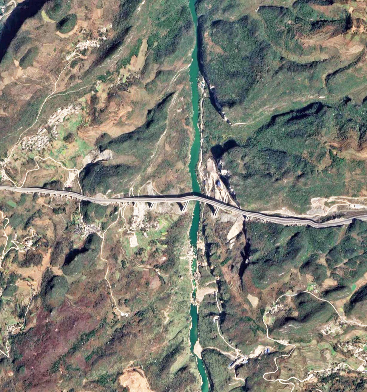
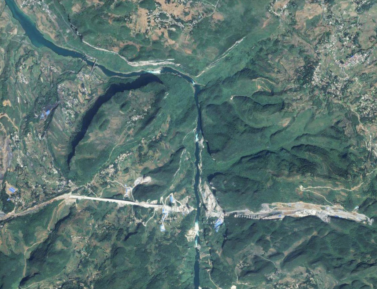
Sanchahe Bridge Xiarong satellite image.
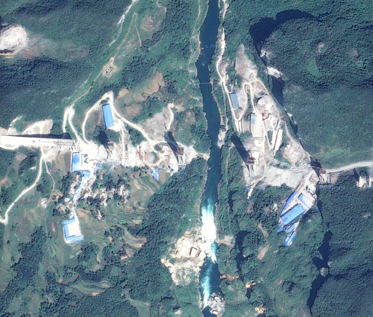
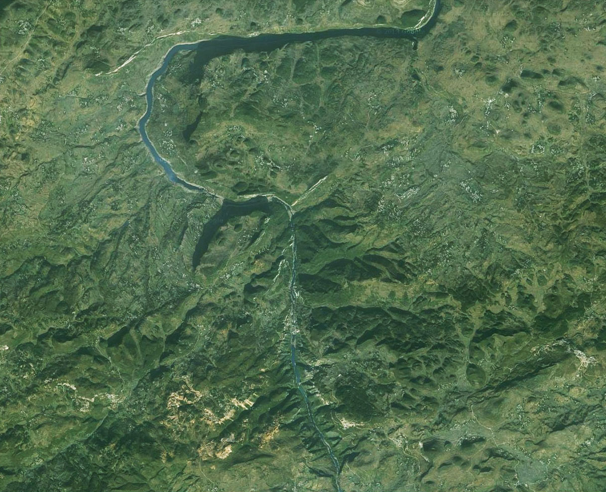
Sanchahe Bridge Xiarong satellite image before construction began.
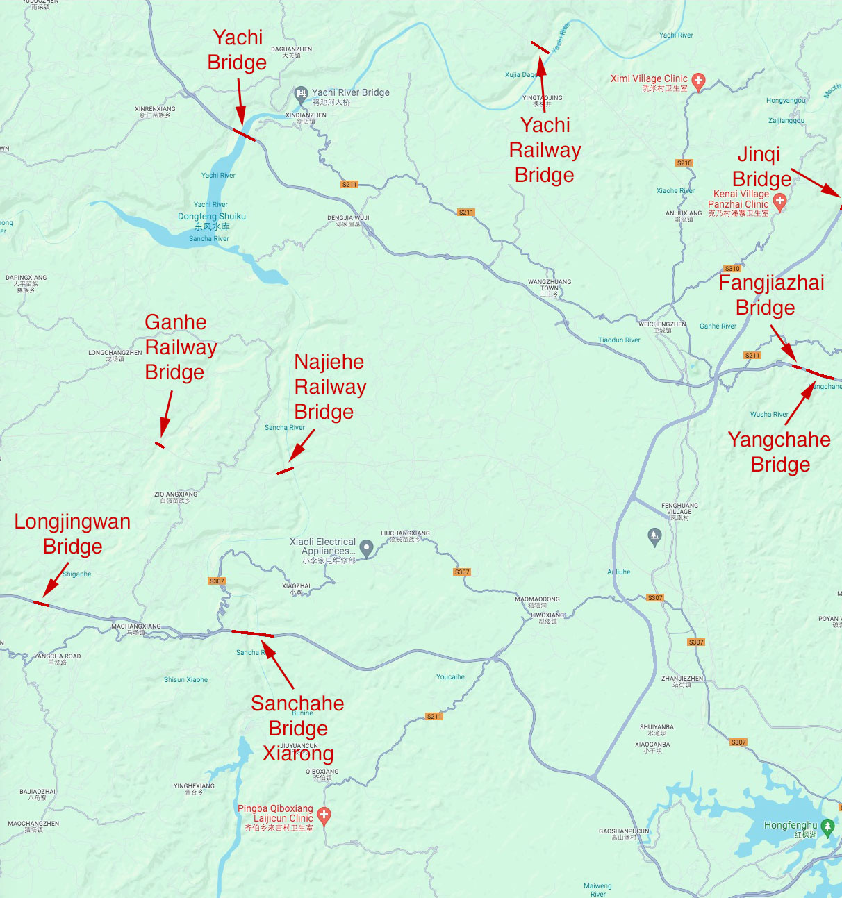
Sanchahe Bridge Xiarong location map.
