Difference between revisions of "Miino Bridge"
From HighestBridges.com
Jump to navigationJump to search (Created page with "<div style="font-size: 25px; text-align: center;"> Miino Bridge<br /> 三井野大橋<br /> Nita, Shimane, Japan<br /> (262) feet high / (80) meters high<br /> 640 foot span / 19...") |
|||
| Line 6: | Line 6: | ||
640 foot span / 195 meter span<br /> | 640 foot span / 195 meter span<br /> | ||
19??<br /> | 19??<br /> | ||
| − | [[File: | + | [[File:MiinoTopy.co.jp.jpg|750px|center]] |
</div> | </div> | ||
| Line 15: | Line 15: | ||
| − | [[File: | + | [[File:MiinoAerial By けんしろうFX29Z.jpg|750px|center]] |
| + | Image by けんしろうFX29Z. | ||
| − | [[File: | + | [[File:MiinoArch.jpg|750px|center]] |
| − | [[File: | + | [[File:MiinoBy Yoshihiko Saijo.jpg|750px|center]] |
| + | Image by Yoshihiko Saijo. | ||
| + | |||
| + | [[File:MiinoWinter.jpg|750px|center]] | ||
| − | |||
| + | [[File:MiinoDrone.jpg|550px|center]] | ||
| − | |||
| + | [[File:MiinoBy 58 TOMATO.jpg|750px|center]] | ||
| + | Image by 58 TOMATO. | ||
| − | |||
| + | [[File:MiinoTunnelBy 直哉.jpg|450px|center]] | ||
| + | Image by 直哉. | ||
| − | |||
| + | [[File:Miinorise.jpg|750px|center]] | ||
| − | |||
| + | [[File:MiinoAerial.jpg|750px|center]] | ||
| − | |||
| + | [[File:MiinoTBeam.jpg|750px|center]] | ||
| − | |||
| + | [[File:ShinheikeName By ハイモスジキル.jpg|750px|center]] | ||
| + | Image by ハイモスジキル. | ||
| − | |||
| + | [[File:MiinoCar.jpg|750px|center]] | ||
| − | |||
| − | + | [[File:MiinoSatellite.jpg|750px|center]] | |
| − | [[File: | ||
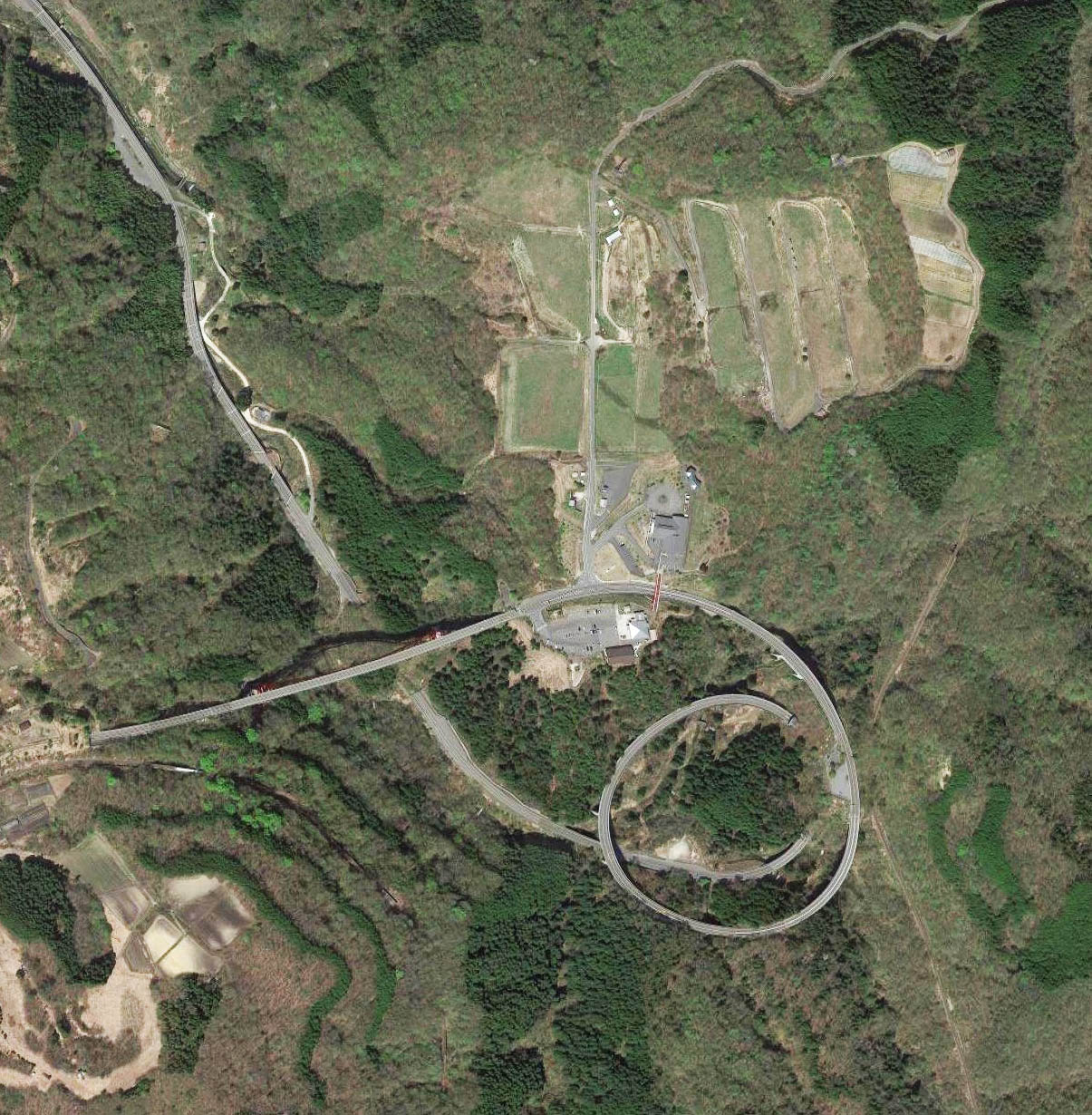
Miino Bridge satellite image. | Miino Bridge satellite image. | ||
| − | [[File: | + | [[File:MiinoLocationMap.jpg|750px|center]] |
| − | |||
| − | |||
| − | |||
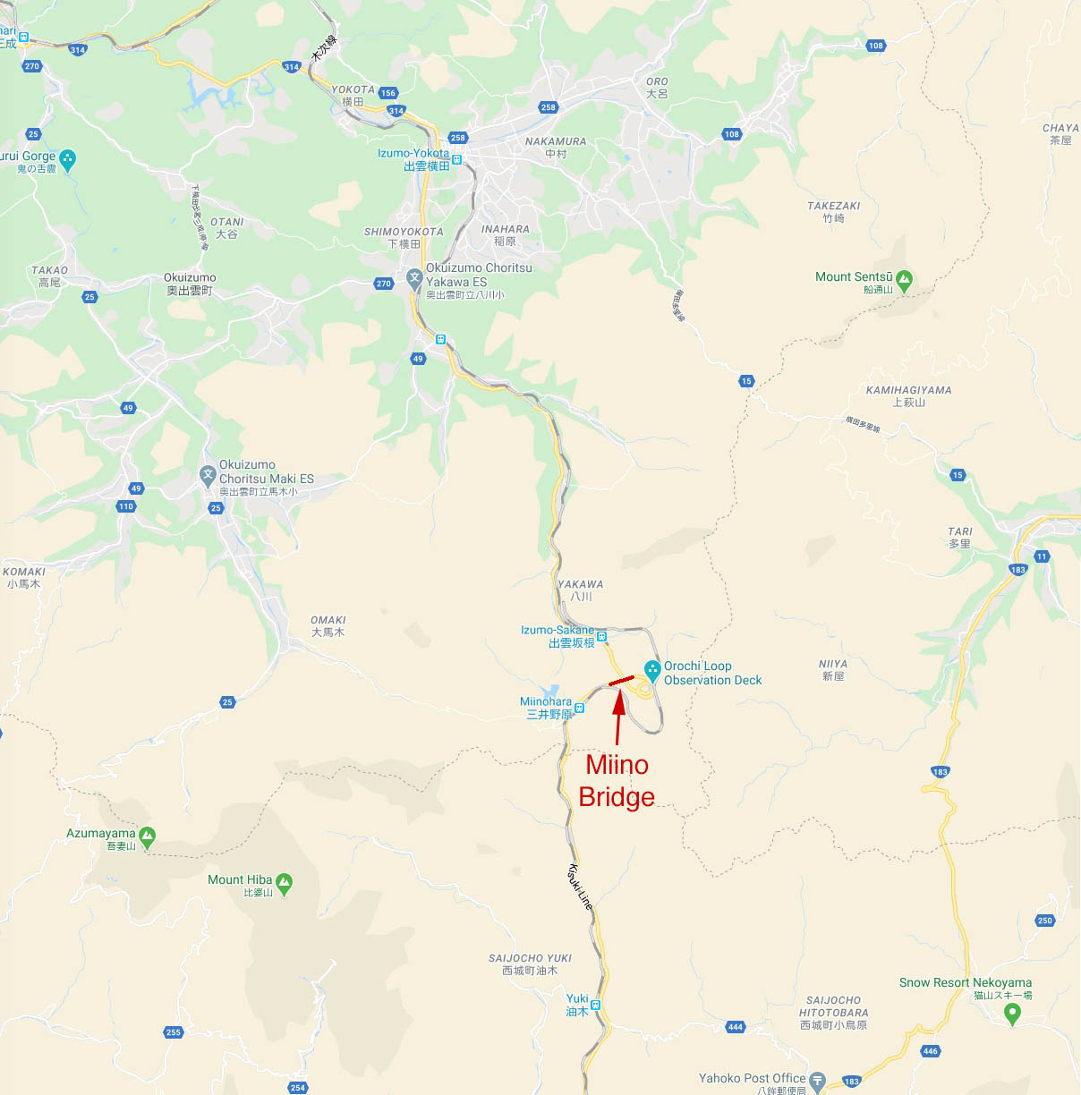
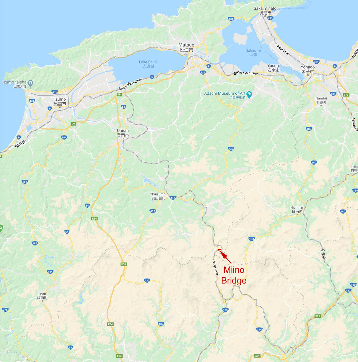
Miino Bridge location map. | Miino Bridge location map. | ||
| − | [[File: | + | [[File:MiinoLocationMapWide.jpg|750px|center]] |
[[Category:Bridges in Japan]] | [[Category:Bridges in Japan]] | ||
Revision as of 07:14, 5 June 2020
Miino Bridge
三井野大橋
Nita, Shimane, Japan
(262) feet high / (80) meters high
640 foot span / 195 meter span
19??
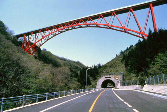
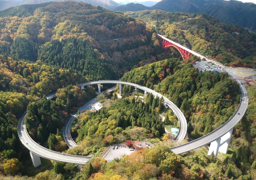
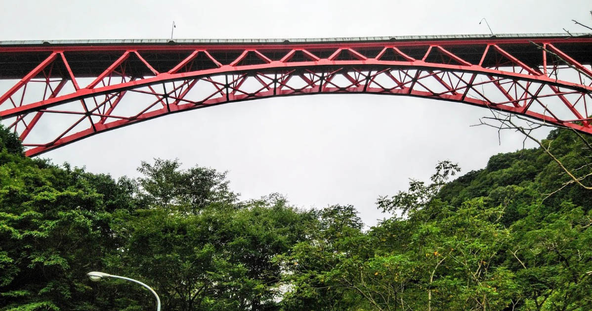
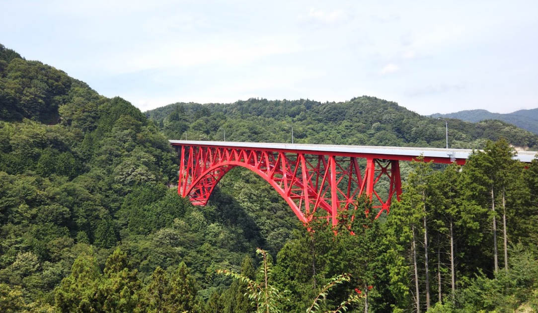
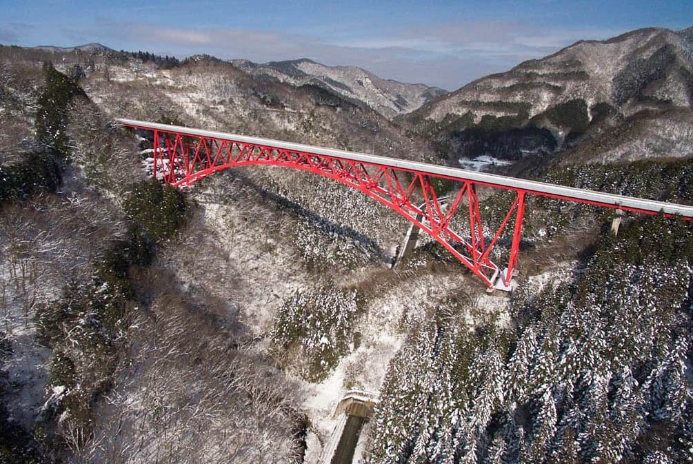
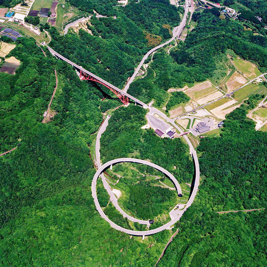
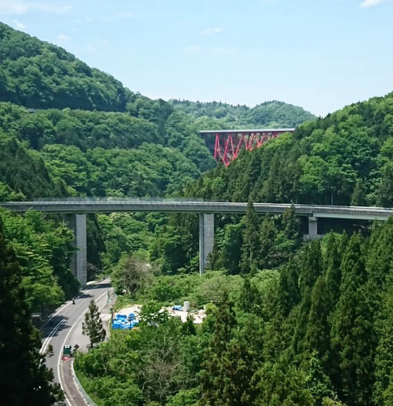
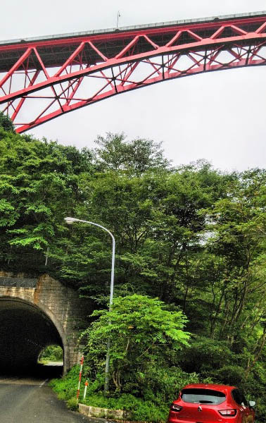
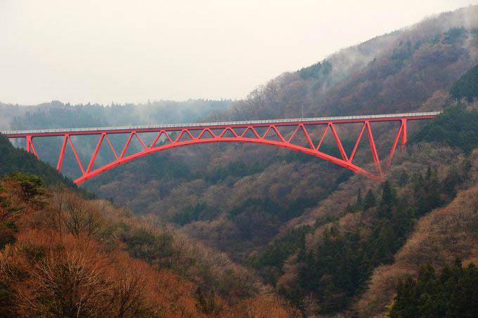
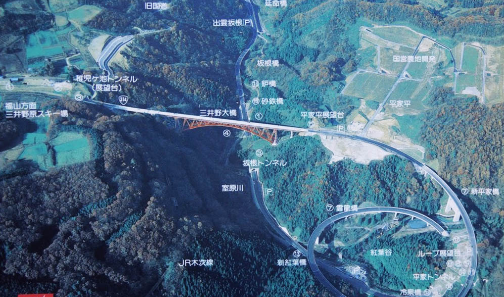
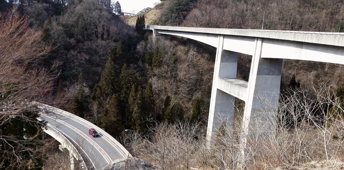
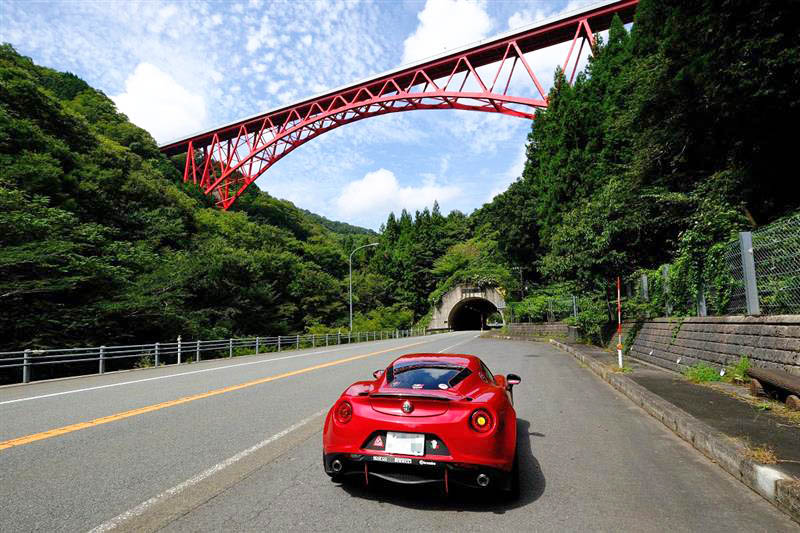
The highest bridge in Shimane prefecture at 80 meters, the Miino bridge is a steel arch with inclined spandrels. After crossing the bridge, the highway descends through two spiral bridges before going into a tunnel located directly underneath the arch. Located near Nita, the span measures 195 meters between bearings.
島根県で一番高い橋である、三井野大橋(高さ90m)は傾斜スパンドレルが使われた鋼アーチ橋です。橋を過ぎると、アーチ真下に位置するトンネルに入る前に、高速道路は二つのら線形の橋を通って下降します。仁多郡に架かっているこの橋のアーチ支間は195mです。
Image by けんしろうFX29Z.
Image by Yoshihiko Saijo.
Image by 58 TOMATO.
Image by 直哉.
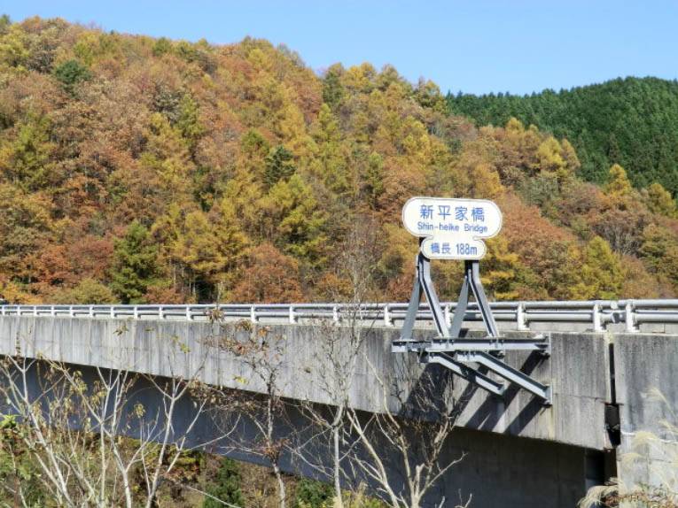
Image by ハイモスジキル.
Miino Bridge satellite image.
Miino Bridge location map.
