Difference between revisions of "Mantianxing Bridge"
From HighestBridges.com
Jump to navigationJump to search| Line 12: | Line 12: | ||
Mantianxing Bridge is one of 4 large bridge spans that cross over the deep waters of the Sanbanxi reservoir region from the Sanbanxi Dam and Hyroelectric power station across the Qingshui River. | Mantianxing Bridge is one of 4 large bridge spans that cross over the deep waters of the Sanbanxi reservoir region from the Sanbanxi Dam and Hyroelectric power station across the Qingshui River. | ||
| − | Several kilometers to the west is the beautiful Qingshuijiang Bridge Jianrong as well as the Nanshaohe Bridge. | + | Several kilometers to the west is the beautiful Qingshuijiang Bridge Jianrong as well as the Nanshaohe Bridge. |
| + | |||
| + | |||
| + | [[File:Mantianxing9.JPG|750px|center]] | ||
| + | Image by Eric Sakowski / HighestBridges.com | ||
| + | |||
| + | |||
| + | [[File:Mantianxing8.JPG|750px|center]] | ||
| + | Image by Eric Sakowski / HighestBridges.com | ||
| Line 19: | Line 27: | ||
| − | [[File: | + | [[File:Qingshuijiang Bridge JianrongLocation.jpg|750px|center]] |
Mantianxing Bridge location map. | Mantianxing Bridge location map. | ||
| − | [[File: | + | [[File:JianliExpresswayMap.jpg|750px|center]] |
Revision as of 05:00, 17 September 2023
Mantianxing Bridge
满天星大桥
Liuchuanzhen, Guizhou, China
(394) feet high / (120) meters high
394 foot span / 120 meter span
(2005)
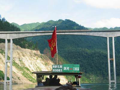
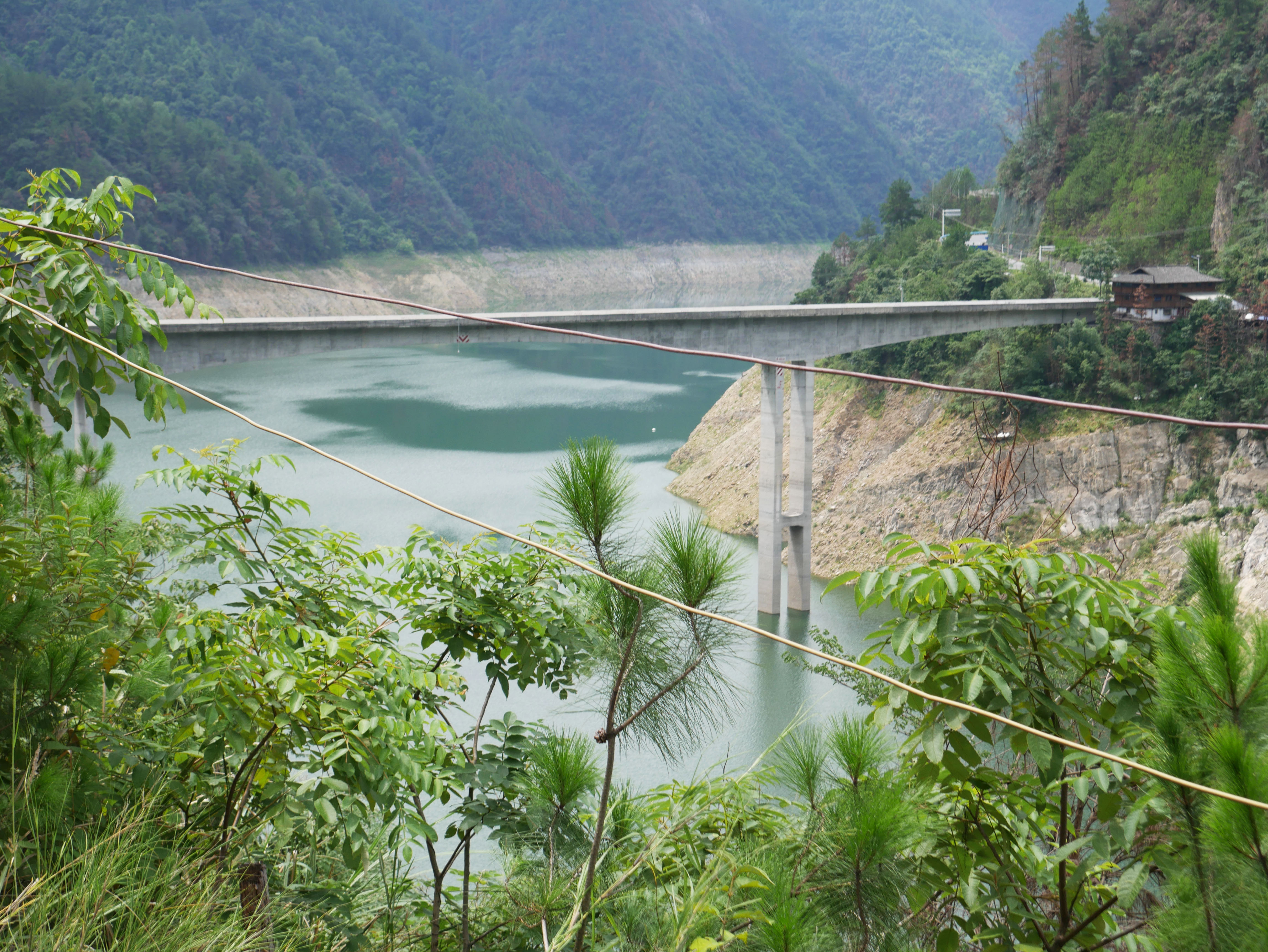
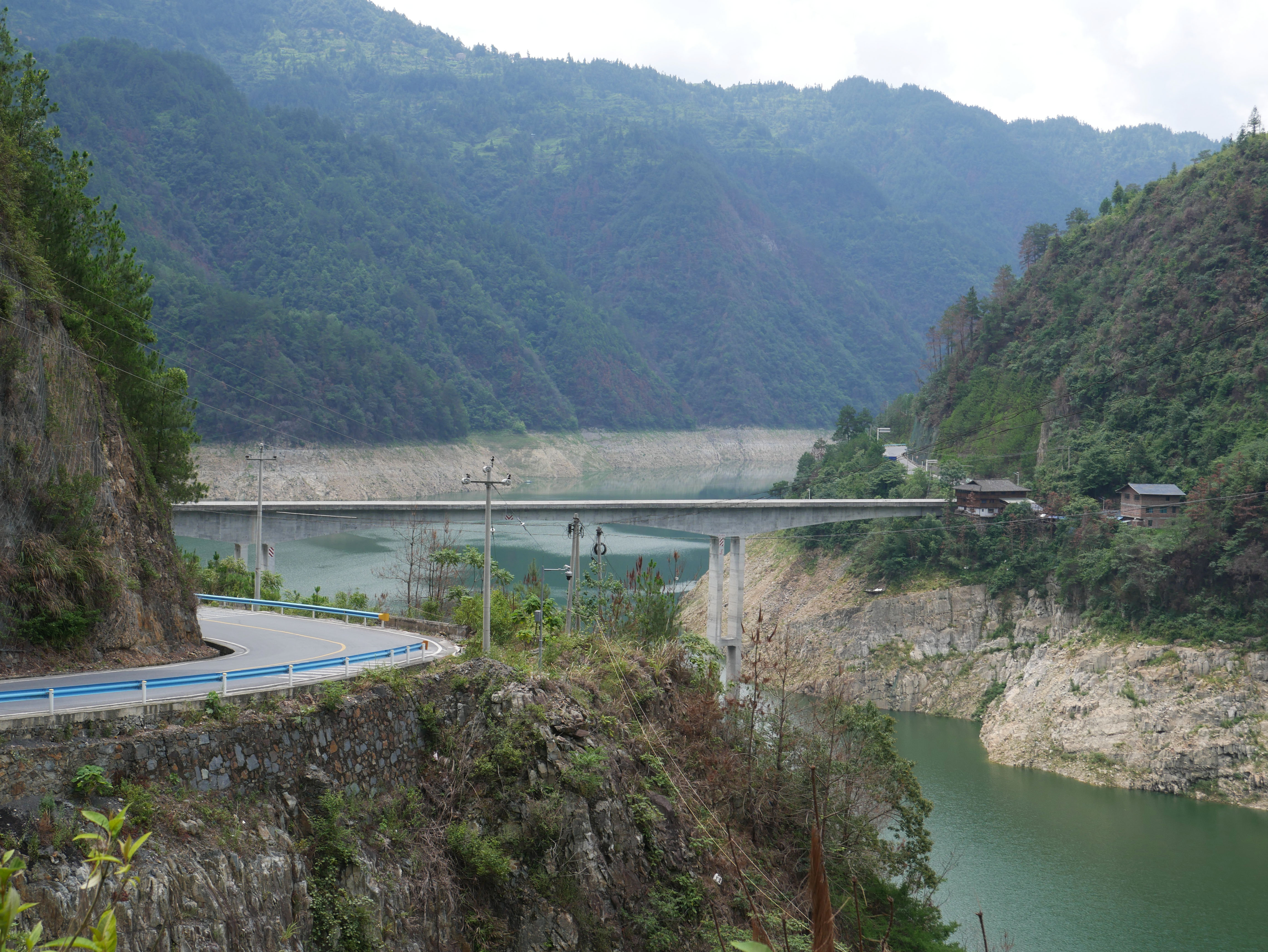
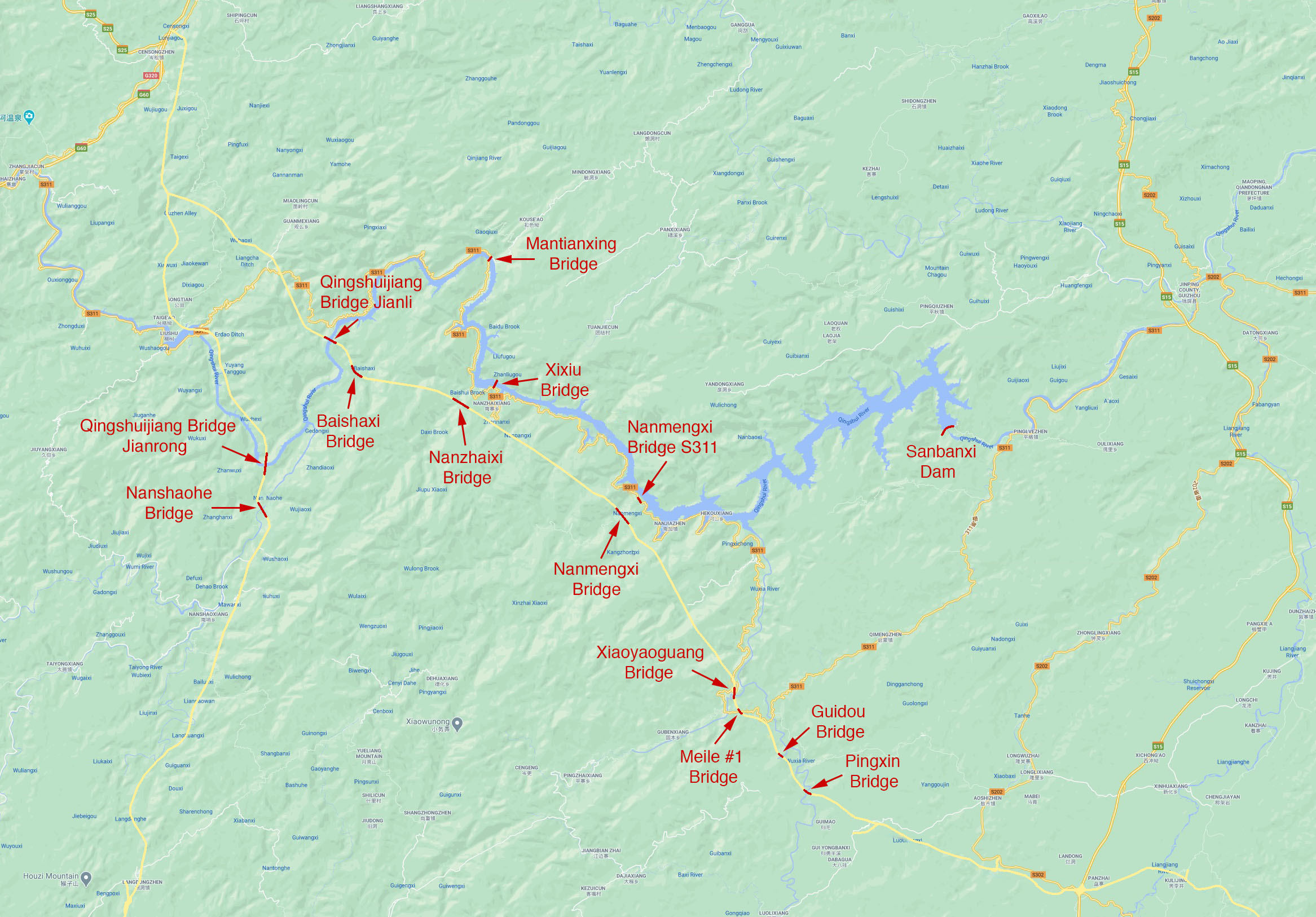
Mantianxing Bridge is one of 4 large bridge spans that cross over the deep waters of the Sanbanxi reservoir region from the Sanbanxi Dam and Hyroelectric power station across the Qingshui River.
Several kilometers to the west is the beautiful Qingshuijiang Bridge Jianrong as well as the Nanshaohe Bridge.
Image by Eric Sakowski / HighestBridges.com
Image by Eric Sakowski / HighestBridges.com
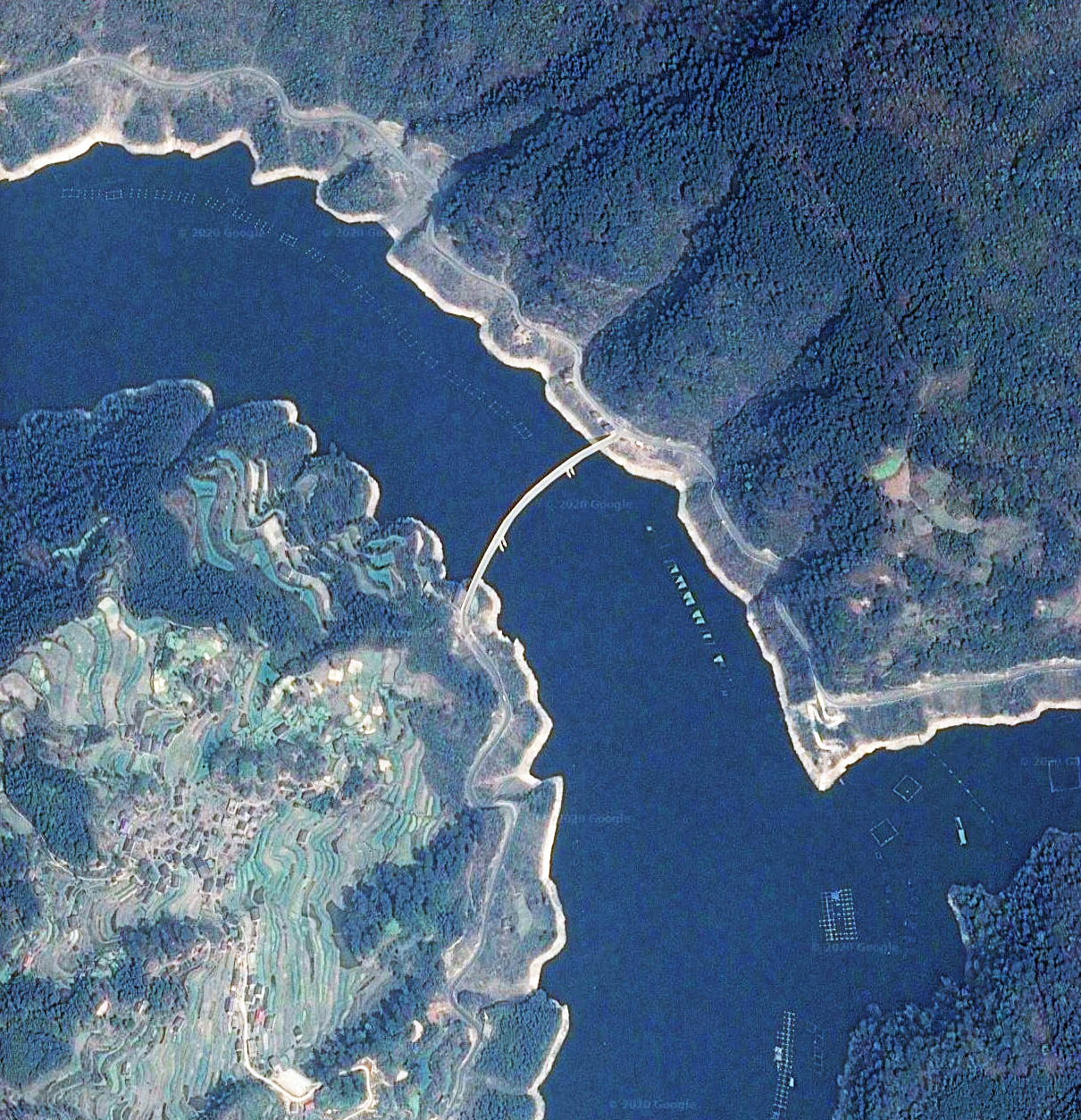
Mantianxing Bridge satellite image.
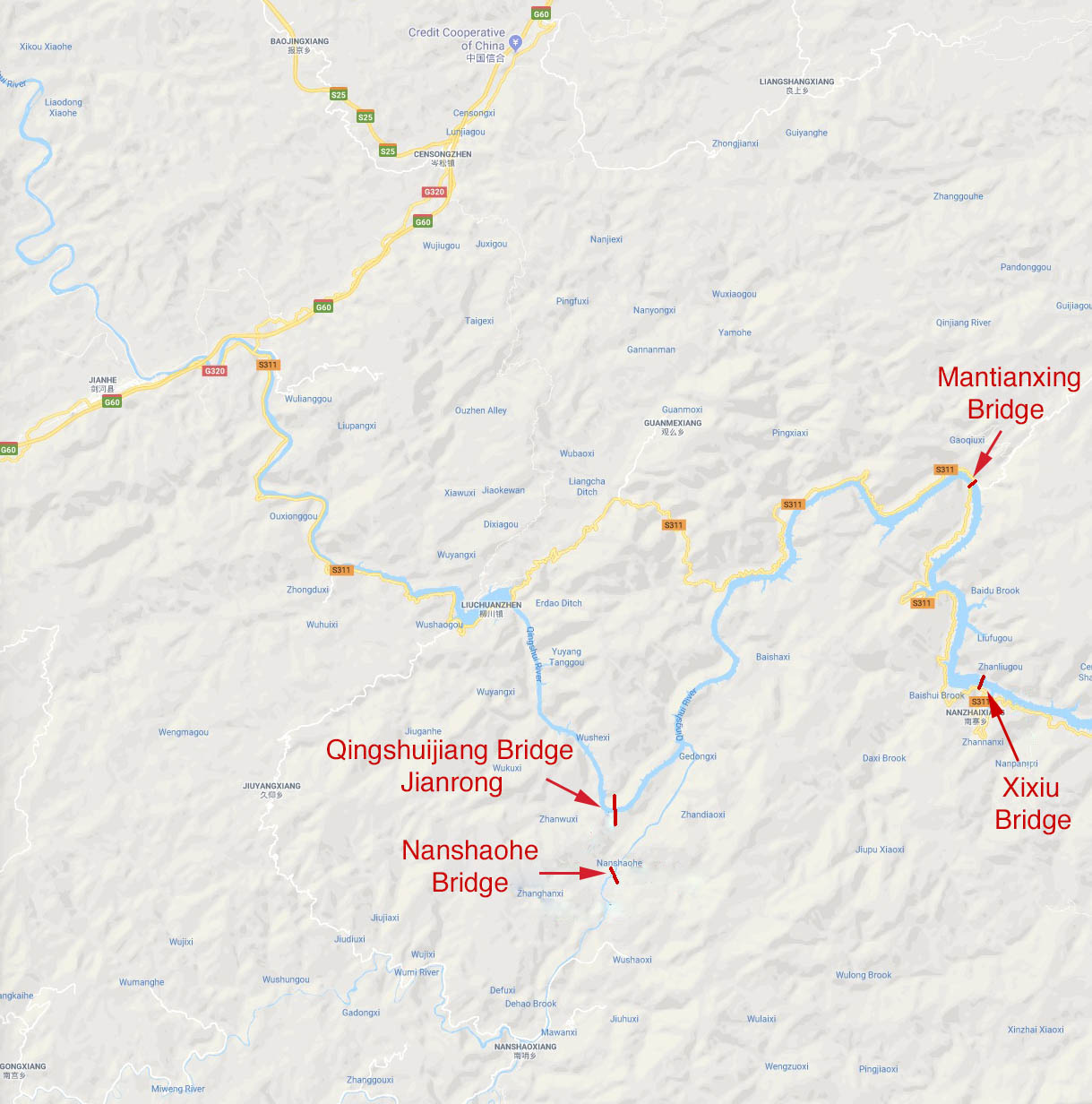
Mantianxing Bridge location map.
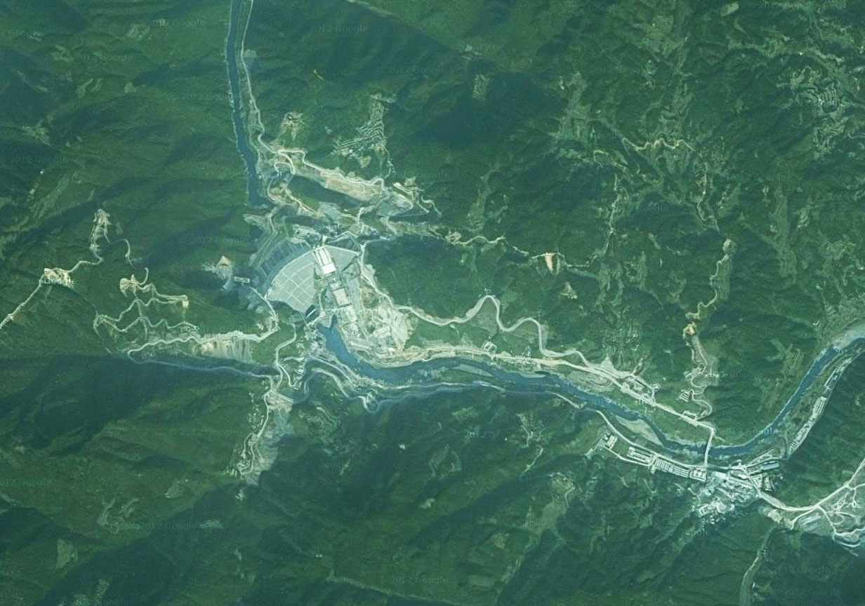
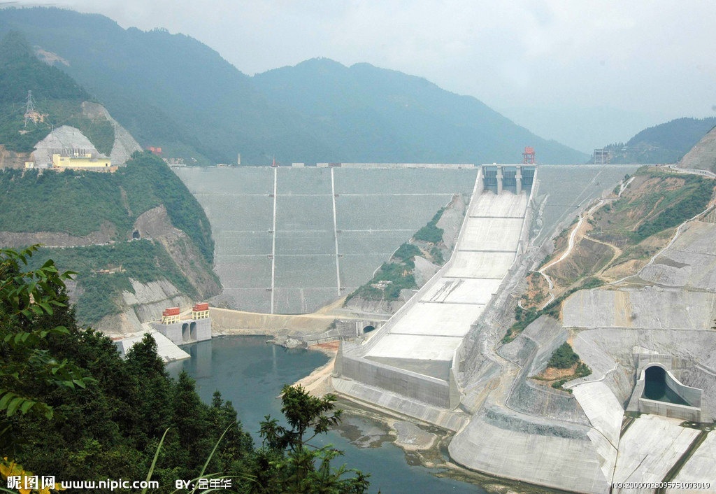
Sanbanxi Dam satellite view from around 2004 when the dam was nearing completion.
