Difference between revisions of "Laotuanpo Number 2 Bridge"
| Line 32: | Line 32: | ||
[[File:LaotuanpoLocationMap.jpg|750px|center]] | [[File:LaotuanpoLocationMap.jpg|750px|center]] | ||
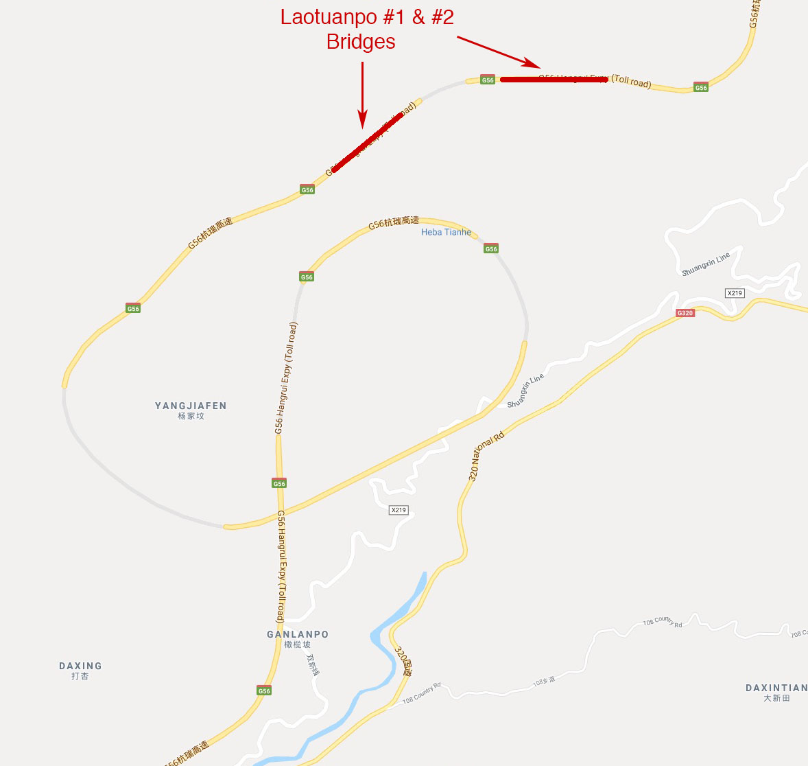
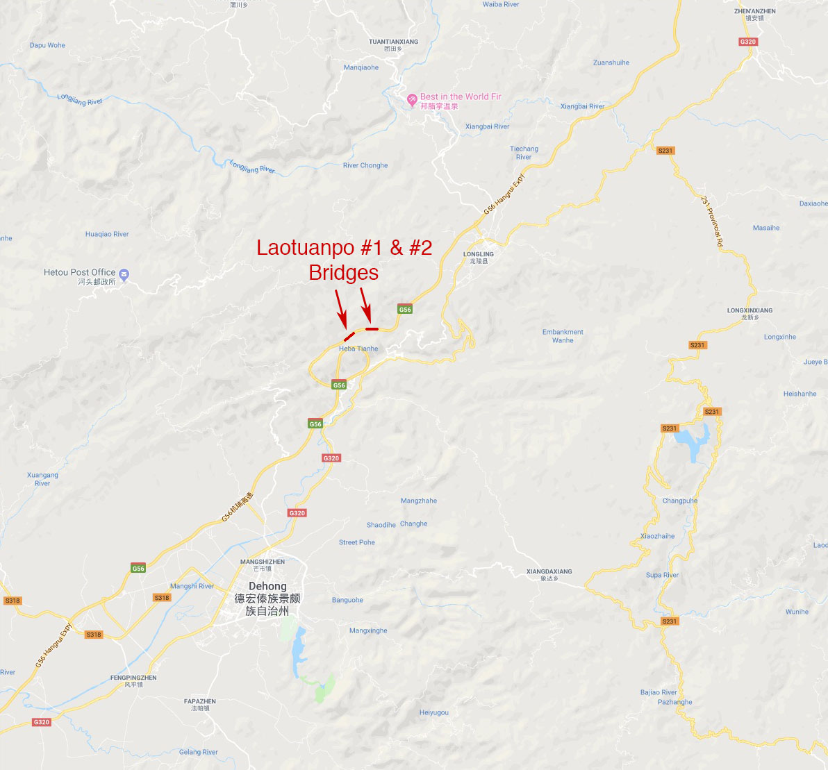
| − | + | Laotuanpo Number 1 & 2 Bridges location map. | |
Latest revision as of 05:55, 23 February 2020
Laotuanpo Number 2 Bridge
老团坡2号大桥
Longling, Yunnan, China
(492) feet high / (150) meters high
525 foot span / 160 meter span
2016
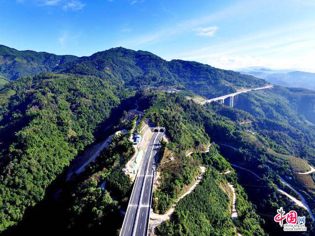
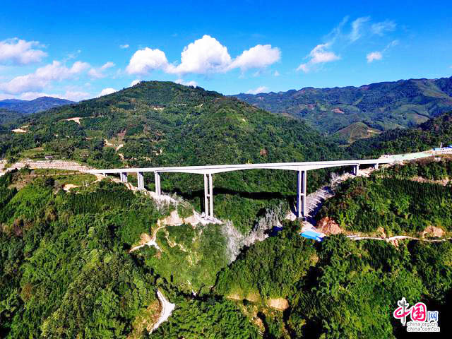
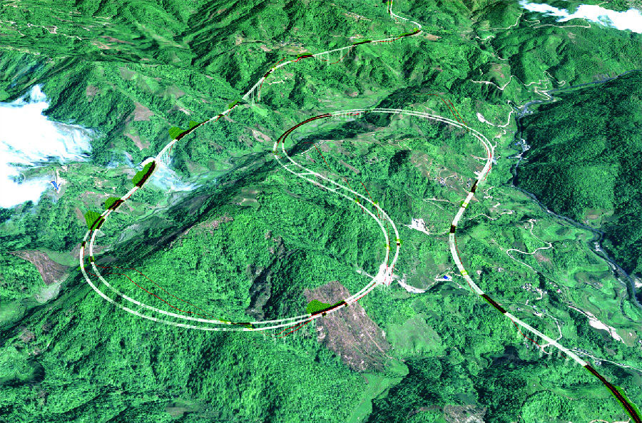
Laotuanpo Number 1 & 2 Bridges are two large beam bridges that lead down into a rare figure 8 elevation descent that drops the G56 expressway down over 300 meters before a final run west to the Yunnan city of Dehong and the Burma Border with China. The G56 Hangzhou–Ruili Expressway is one of the longest in China stretching 2,935 kilometers from Hangzhou, China on the east coast to Burma in the west.
Laotuanpo Number 1 has a span configuration of 2×30+90+160+90+3×30 meters while Laotuanpo Number 2 has a configuration of 2×30+90+160+90+4×30 meters.
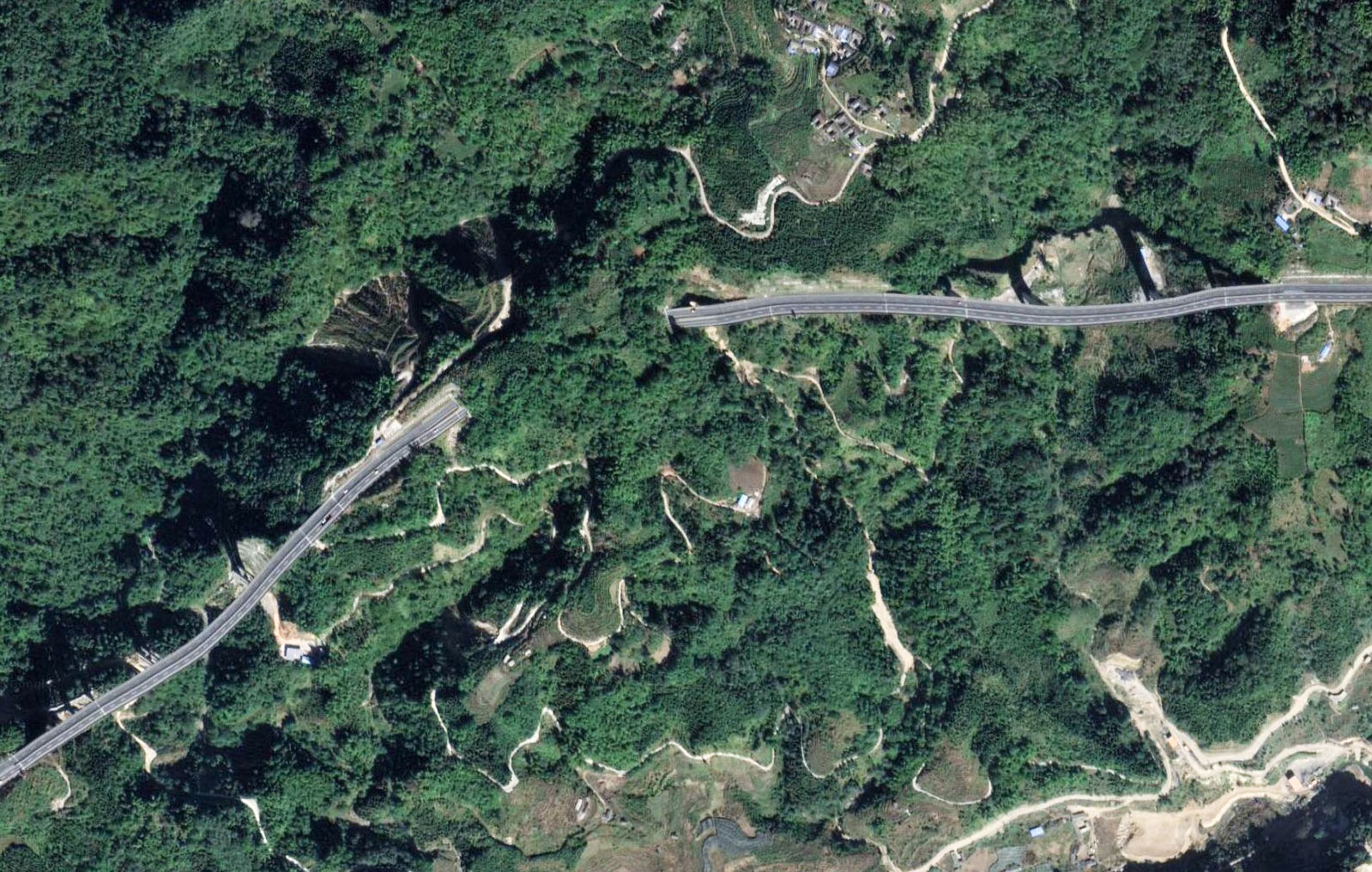
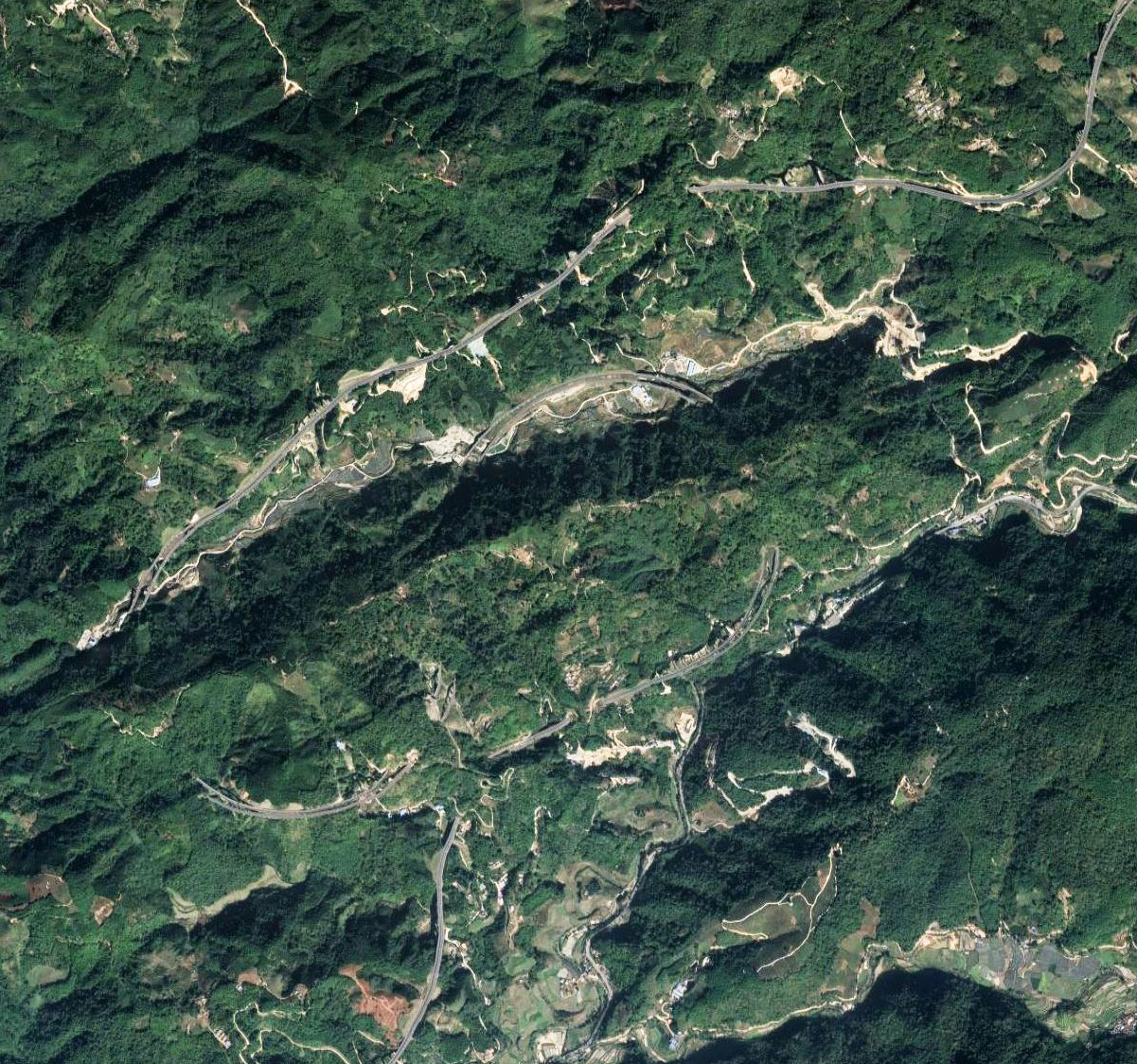
Laotuanpo Number 1 & 2 Bridges satellite image.
Laotuanpo Number 1 & 2 Bridges location map.
