Difference between revisions of "Ikenoyama Bridge"
(Created page with "<div style="font-size: 25px; text-align: center;"> Ikenoyama Bridge<br /> 池の山橋<br /> Nakatsuemura Tochino, Oita, Japan<br /> (262) feet high / (80) meters high<br /> 492 ...") |
|||
| (3 intermediate revisions by the same user not shown) | |||
| Line 6: | Line 6: | ||
492 foot span / 150 meter span<br /> | 492 foot span / 150 meter span<br /> | ||
1967<br /> | 1967<br /> | ||
| − | [[File: | + | [[File:Ikenoyama.jpg|750px|center]] |
</div> | </div> | ||
| Line 15: | Line 15: | ||
| − | [[File: | + | [[File:IkenoyamaDeck.jpg|750px|center]] |
| − | [[File: | + | [[File:Ikenoyama Open 1967.jpg|550px|center]] |
| − | [[File: | + | [[File:Shimouke Dam.jpg|750px|center]] |
| + | Shimouke Dam. | ||
| − | [[File: | + | [[File:Shimouke DamAerial.jpg|550px|center]] |
| + | Hachinosu Lake. | ||
| − | [[File: | + | [[File:下筌橋 ArchSide.jpg|750px|center]] |
| + | Arch near the Shimouke Dam. | ||
| − | [[File: | + | [[File:Near Ikenoyama室原橋 158.8 metersLong.jpg|500px|center]] |
| + | Arch Bridge just east of Ikenoyama Bridge. | ||
| − | [[File: | + | [[File:川畑橋 Arch.jpg|750px|center]] |
| + | Arch Bridge upstream of Ikenoyama Bridge. | ||
| − | [[File: | + | [[File:Open 1969.jpg|750px|center]] |
| + | Red suspension bridge across nearby Bairin Lake. | ||
| − | [[File: | + | [[File:BairinLakeSuspension新津江橋.jpg|750px|center]] |
| − | [[File: | + | [[File:IkenoyamaSatellite.jpg|750px|center]] |
Ikenoyama Bridge satellite image. | Ikenoyama Bridge satellite image. | ||
| − | [[File: | + | [[File:IkenoyamaSatelliteWide.jpg|750px|center]] |
| − | [[File: | + | [[File:BridgesMap.gif|750px|center]] |
Ikenoyama Bridge location map. | Ikenoyama Bridge location map. | ||
| − | [[File: | + | [[File:IkenoyamaLocationMap.jpg|750px|center]] |
| + | |||
| + | |||
| + | [[File:IkenoyamaLocationMapWide.jpg|750px|center]] | ||
[[Category:Bridges in Japan]] | [[Category:Bridges in Japan]] | ||
Latest revision as of 02:22, 7 September 2020
Ikenoyama Bridge
池の山橋
Nakatsuemura Tochino, Oita, Japan
(262) feet high / (80) meters high
492 foot span / 150 meter span
1967
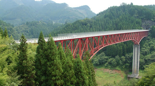
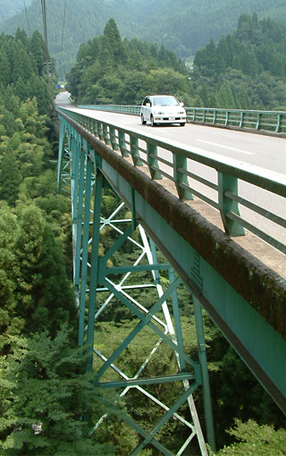
One of Japan’s early high level reservoir bridges, the Ikenoyama Bridge is a steel deck truss with a main span of 150 meters on piers 63.5 and 52 meters tall.
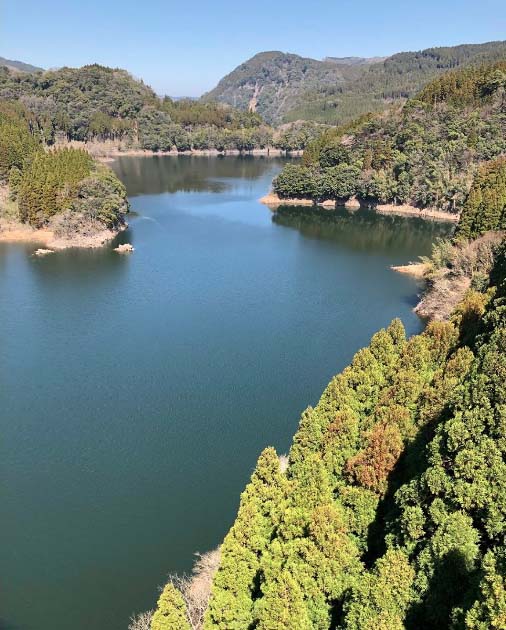
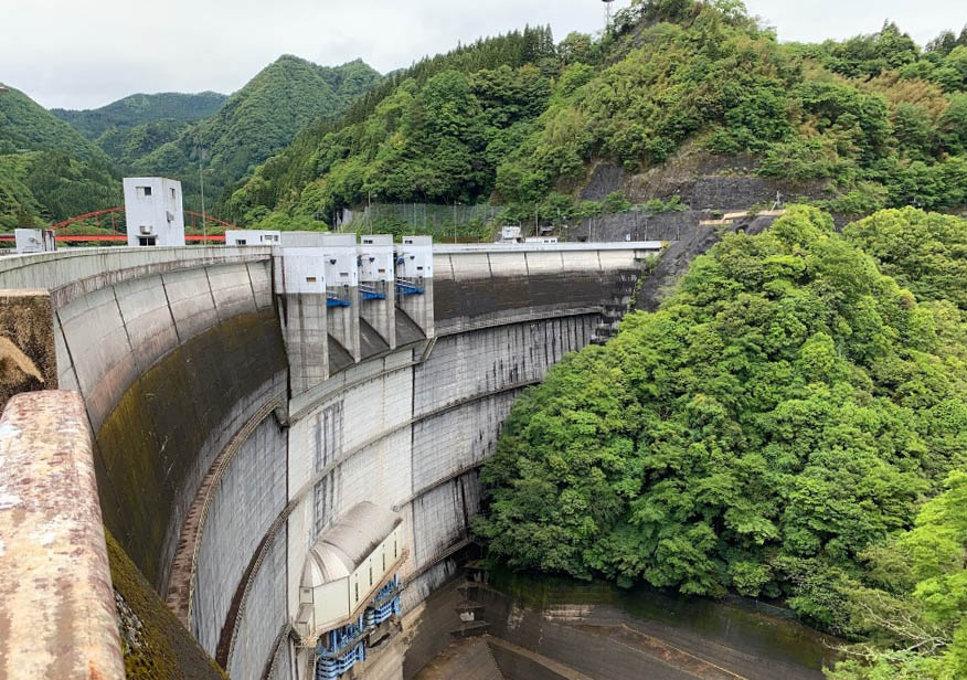
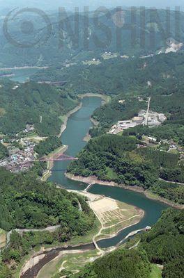
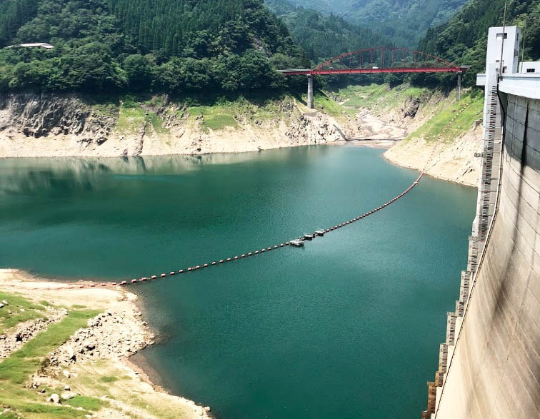
Hachinosu Lake was created from the construction of the Shimouke Dam in Oita Prefecture. Just to the north is Bairin Lake with several more high level reservoir bridges from the completion of the Matsubara Dam.
Shimouke Dam.
Hachinosu Lake.
Arch near the Shimouke Dam.
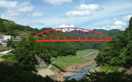
Arch Bridge just east of Ikenoyama Bridge.
Arch Bridge upstream of Ikenoyama Bridge.
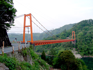
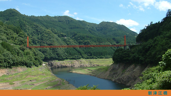
Red suspension bridge across nearby Bairin Lake.
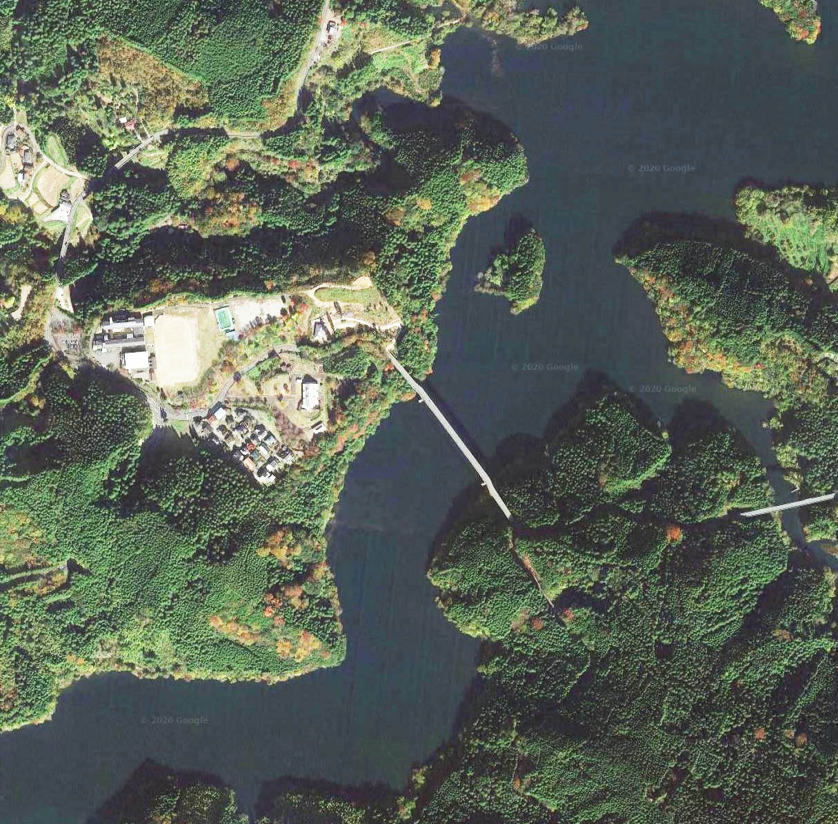
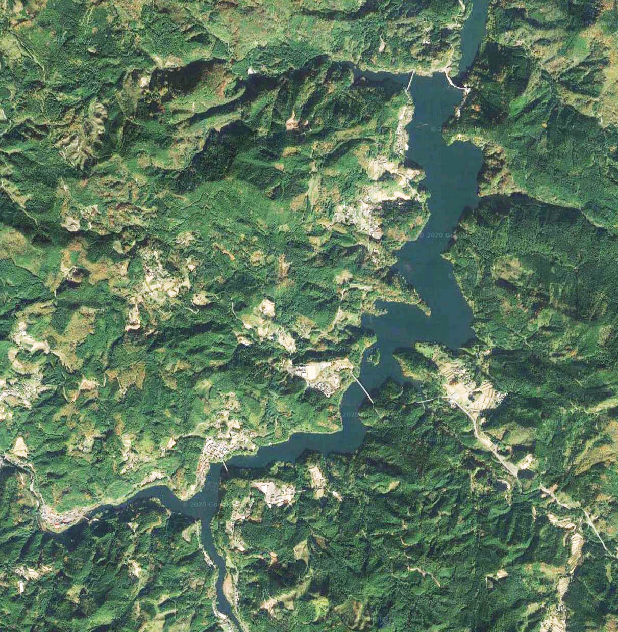
Ikenoyama Bridge satellite image.
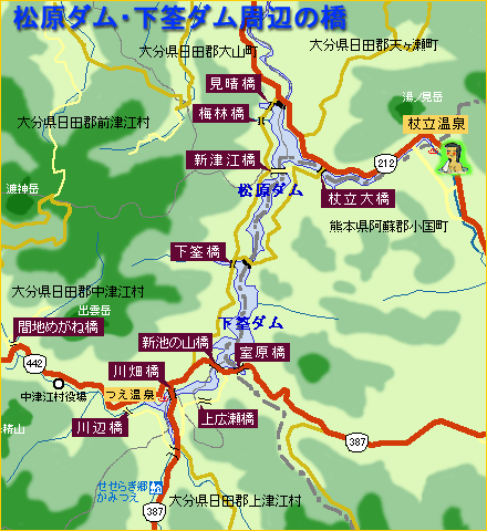
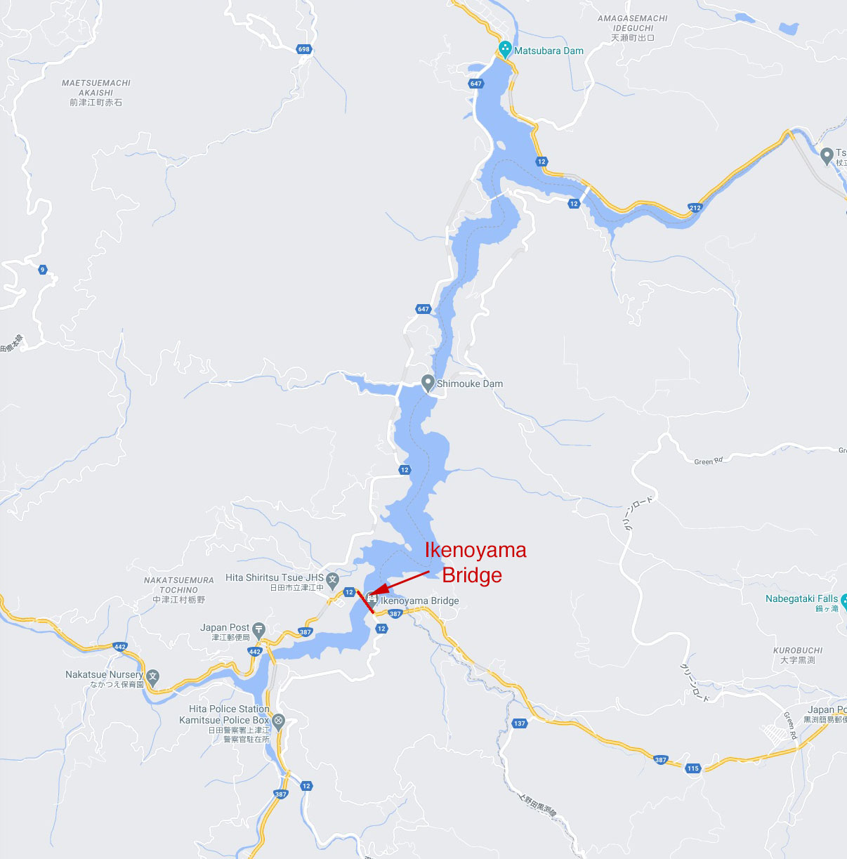
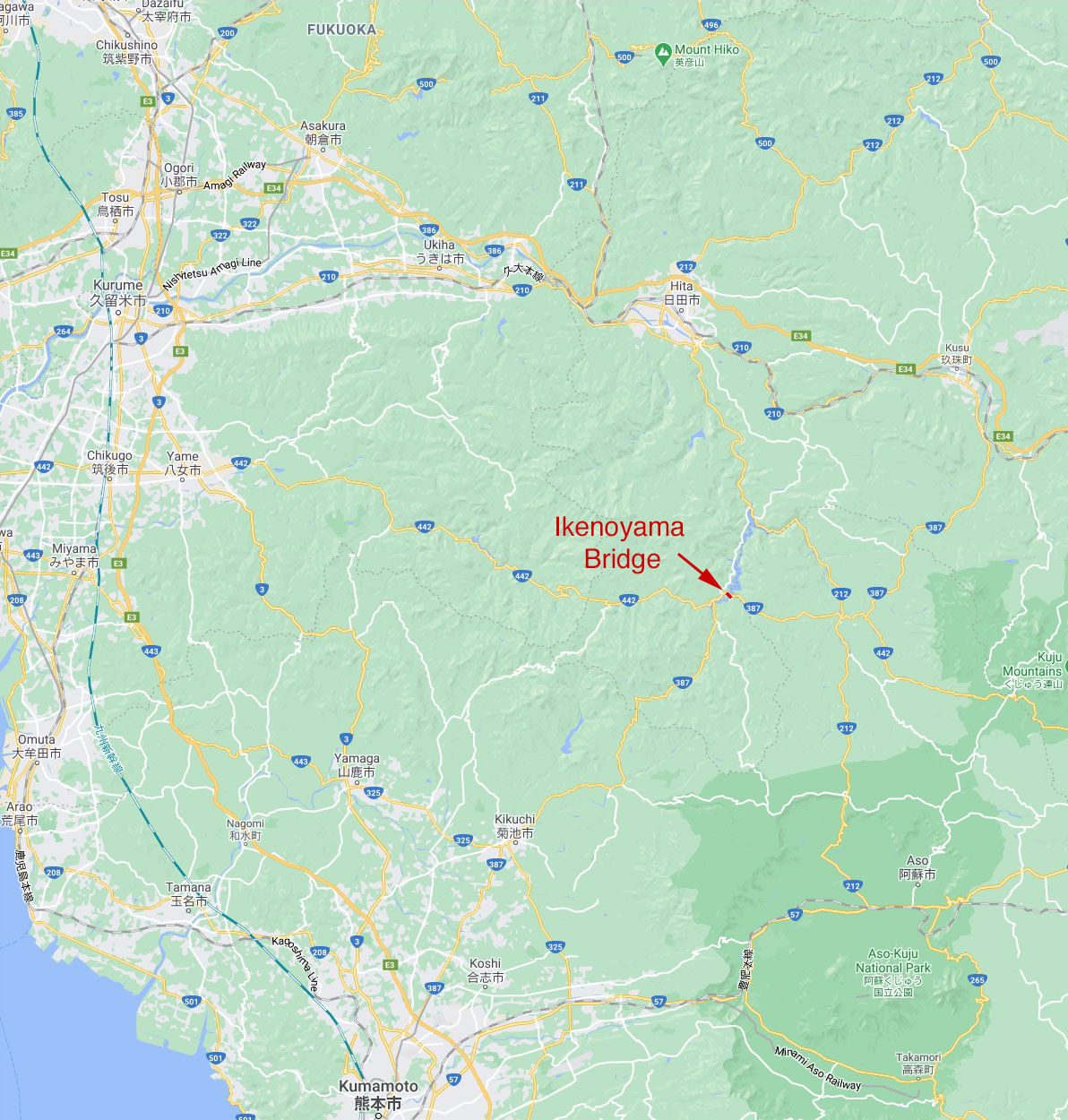
Ikenoyama Bridge location map.
