Difference between revisions of "Houtanjing Sky Bridge"
From HighestBridges.com
Jump to navigationJump to search| Line 6: | Line 6: | ||
643 foot span / 196 meter span<br /> | 643 foot span / 196 meter span<br /> | ||
200??<br /> | 200??<br /> | ||
| − | [[File: | + | [[File:HoutanjingDeckBy 吳立安.jpg|750px|center]] |
</div> | </div> | ||
| Line 13: | Line 13: | ||
| − | [[File: | + | [[File:HoutanjingBy 劉祐任.jpg|750px|center]] |
| + | Image by 劉祐任. | ||
| + | |||
| + | [[File:HoutanjingBy Matthew Shu.jpg|750px|center]] | ||
| + | Image by Matthew Shu. | ||
| − | |||
| + | [[File:HoutanjingBy 陳玉霜.jpg|750px|center]] | ||
| + | Image by 陳玉霜. | ||
| − | |||
| + | [[File:Houtanjing Sky Bridge By tokmobile.jpg|750px|center]] | ||
| + | Image by tokmobile. | ||
| − | |||
| + | [[File:HoutanjingView.jpg|750px|center]] | ||
| − | |||
| + | [[File:HoutanjingBy M W.jpg|750px|center]] | ||
| + | Image by M W. | ||
| − | |||
| + | [[File:HoutanjingBy Chang Palaa.jpg|450px|center]] | ||
| + | Image by Chang Palaa. | ||
| − | |||
| + | [[File:Houtanjingby david tsai.jpg|550px|center]] | ||
| + | Image by david tsai. | ||
| − | |||
| + | [[File:Houtanjing By Kuo Shun Kuo.jpg|550px|center]] | ||
| + | Image by Kuo Shun Kuo. There is also a cantilevered glass platform near the footbridge. | ||
| − | |||
| + | [[File:Houtanjing Recreation Area of Nantou70mtrH 196mtrSpan.JPG|750px|center]] | ||
| − | [[File: | + | |
| + | [[File:HoutanjingBy 我鐵人哥.jpg|750px|center]] | ||
| + | Image by 我鐵人哥. | ||
| + | |||
| + | |||
| + | [[File:Houtanjing Sky Satellite.jpg|750px|center]] | ||
Houtanjing Sky Bridge satellite image. | Houtanjing Sky Bridge satellite image. | ||
| − | [[File: | + | [[File:Houtanjing Sky SatelliteWide.jpg|750px|center]] |
| − | [[File: | + | [[File:Houtanjing Sky LocationMap.jpg|750px|center]] |
Houtanjing Sky Bridge location map. | Houtanjing Sky Bridge location map. | ||
| − | [[File: | + | [[File:Houtanjing Sky LocationMapWide.jpg|750px|center]] |
[[Category:Bridges in South Korea]] | [[Category:Bridges in South Korea]] | ||
Revision as of 00:53, 22 December 2020
Houtanjing Sky Bridge
猴探井天空之橋
Nantou, Nantou, South Korea
(230) feet high / (70) meters high
643 foot span / 196 meter span
200??
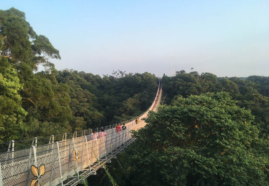
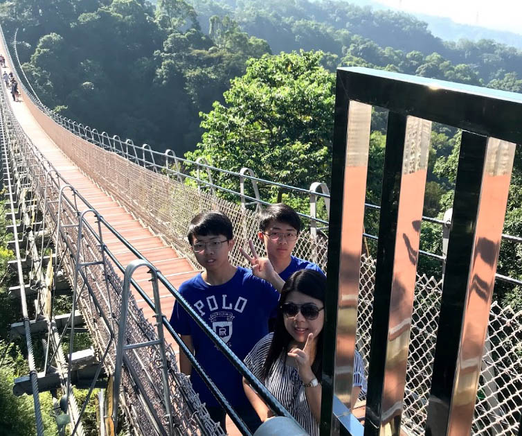
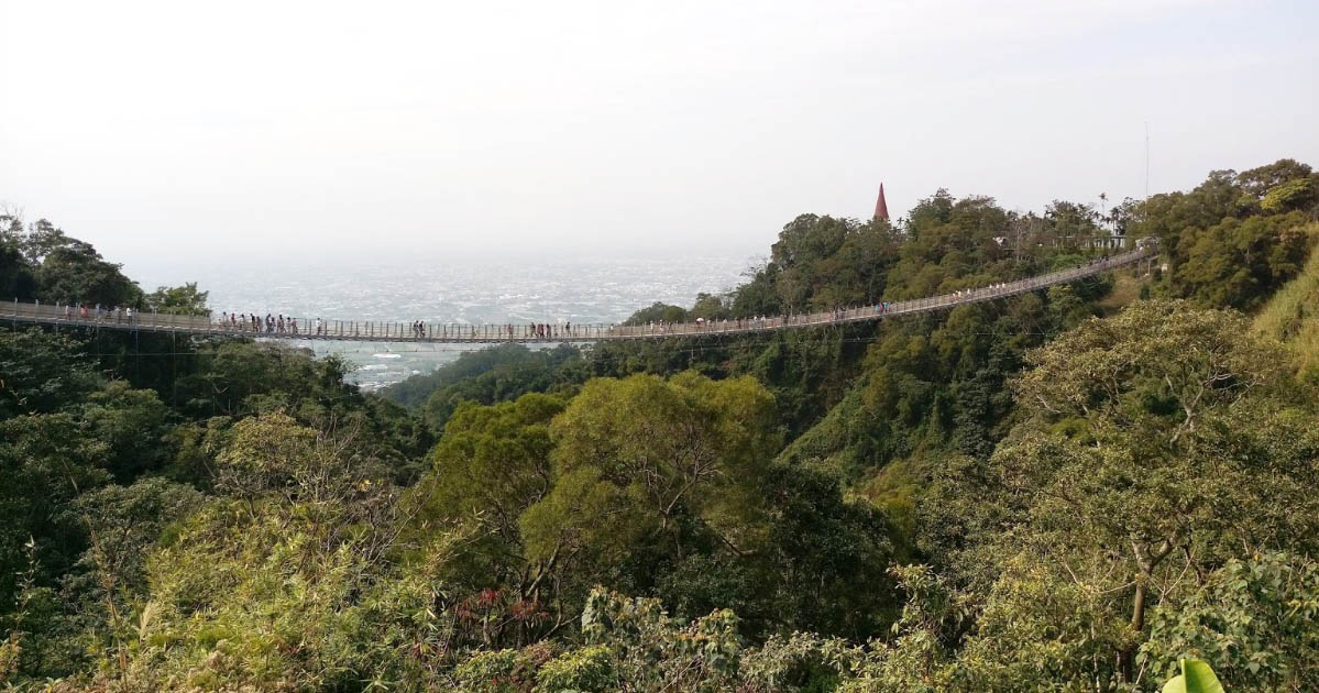
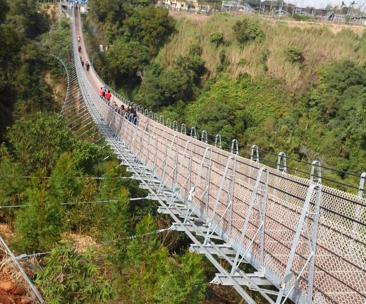
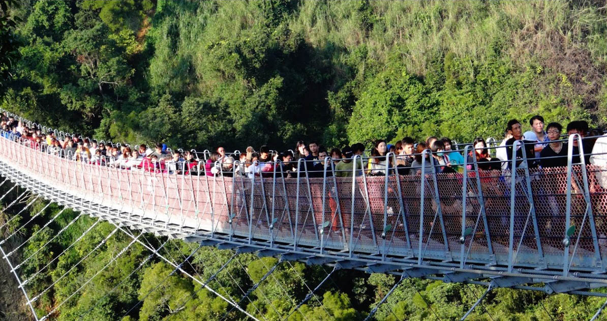
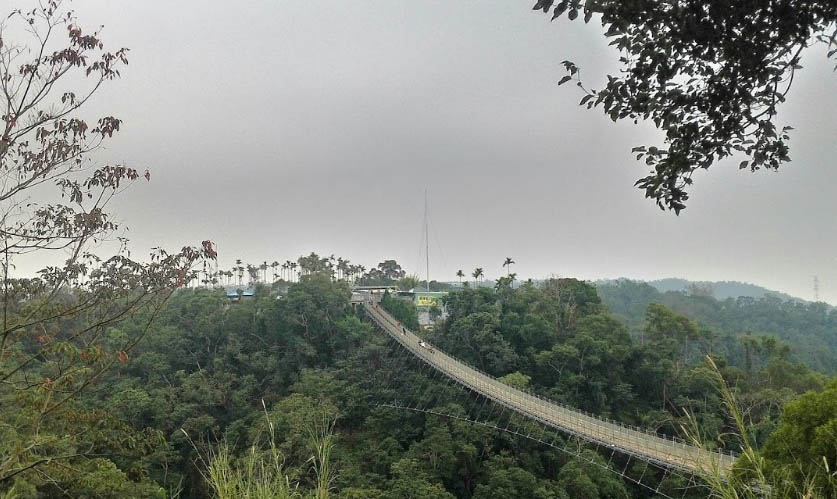
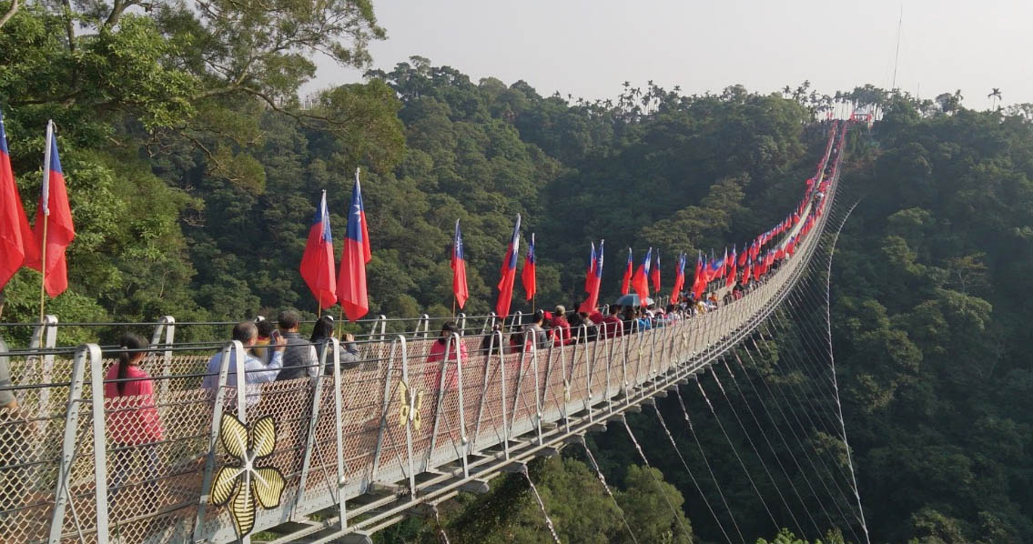
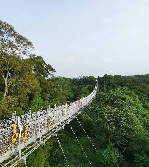
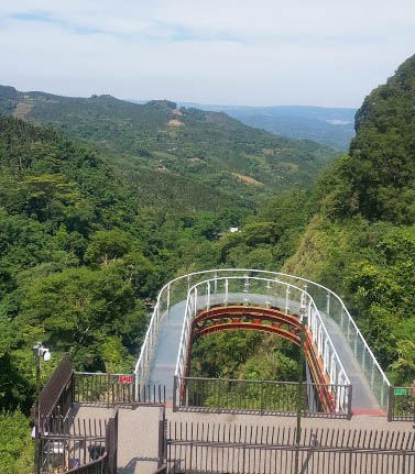
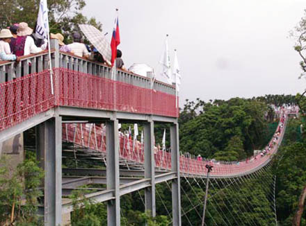
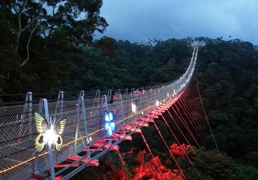
Houtanjing Sky Bridge is a popular tourist attraction south of Taichung City. The sagging main span of 196 meters is approximately 1 meter wide.
Image by 劉祐任.
Image by Matthew Shu.
Image by 陳玉霜.
Image by tokmobile.
Image by M W.
Image by Chang Palaa.
Image by david tsai.
Image by Kuo Shun Kuo. There is also a cantilevered glass platform near the footbridge.
Image by 我鐵人哥.
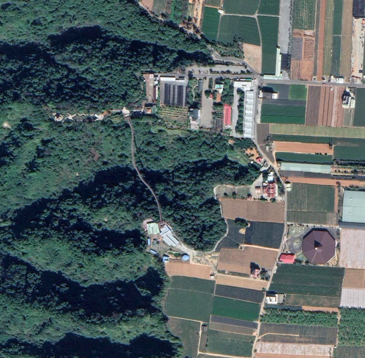
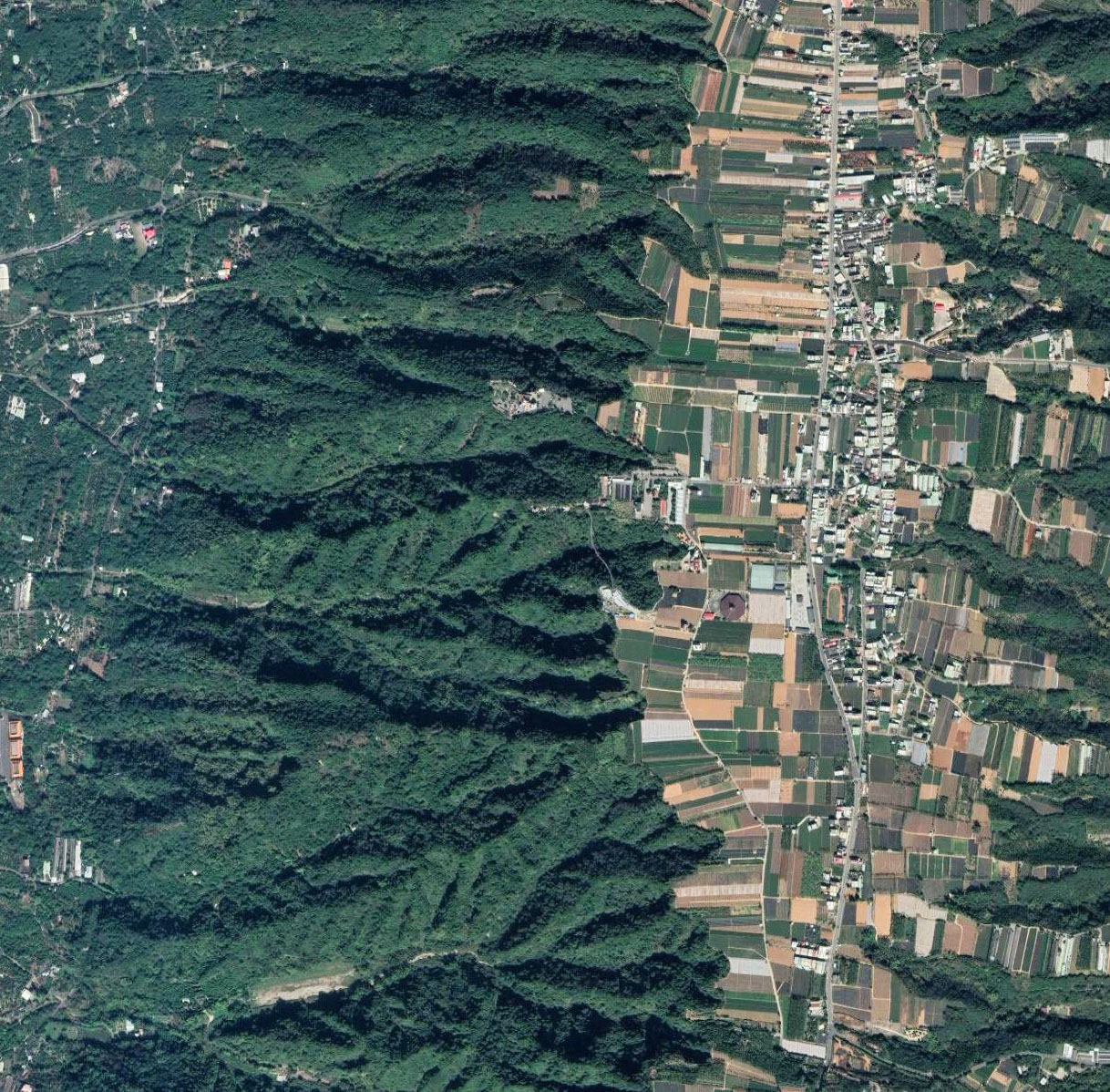
Houtanjing Sky Bridge satellite image.
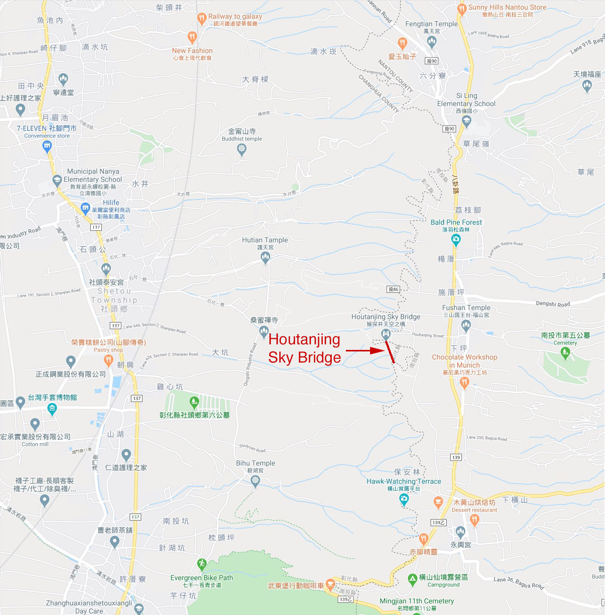
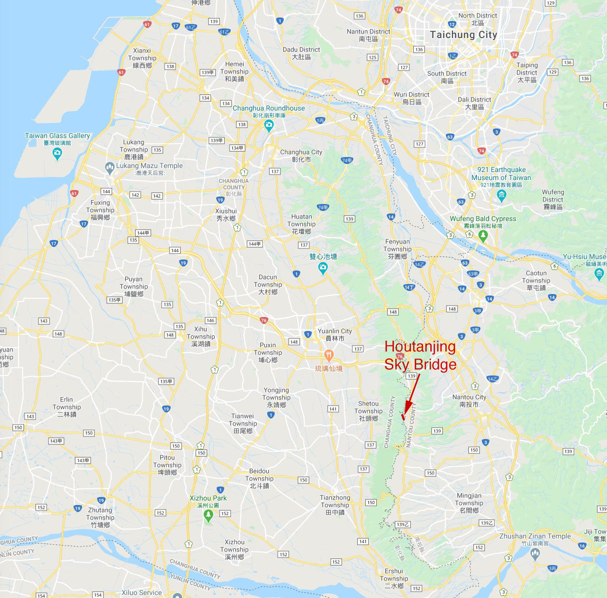
Houtanjing Sky Bridge location map.
