File:OtogawaLocationMap.jpg
From HighestBridges.com
Jump to navigationJump to search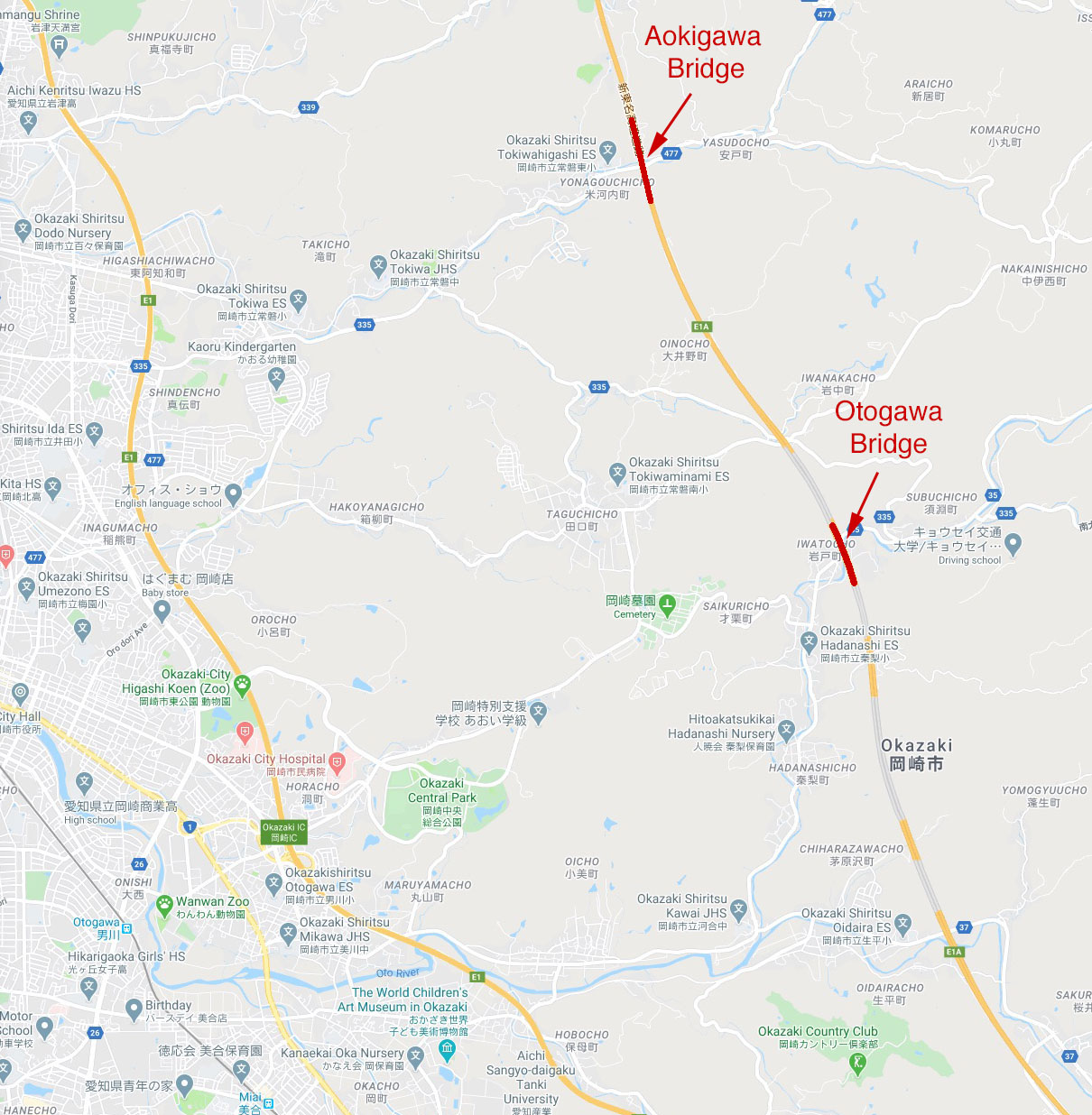
Size of this preview: 587 × 600 pixels. Other resolutions: 235 × 240 pixels | 1,210 × 1,236 pixels.
Original file (1,210 × 1,236 pixels, file size: 327 KB, MIME type: image/jpeg)
Otogawa Bridge location map.
File history
Click on a date/time to view the file as it appeared at that time.
| Date/Time | Thumbnail | Dimensions | User | Comment | |
|---|---|---|---|---|---|
| current | 20:30, 26 August 2020 | | 1,210 × 1,236 (327 KB) | Sakowski (talk | contribs) | Aokigawa Bridge location map. |
| 05:14, 9 June 2020 | 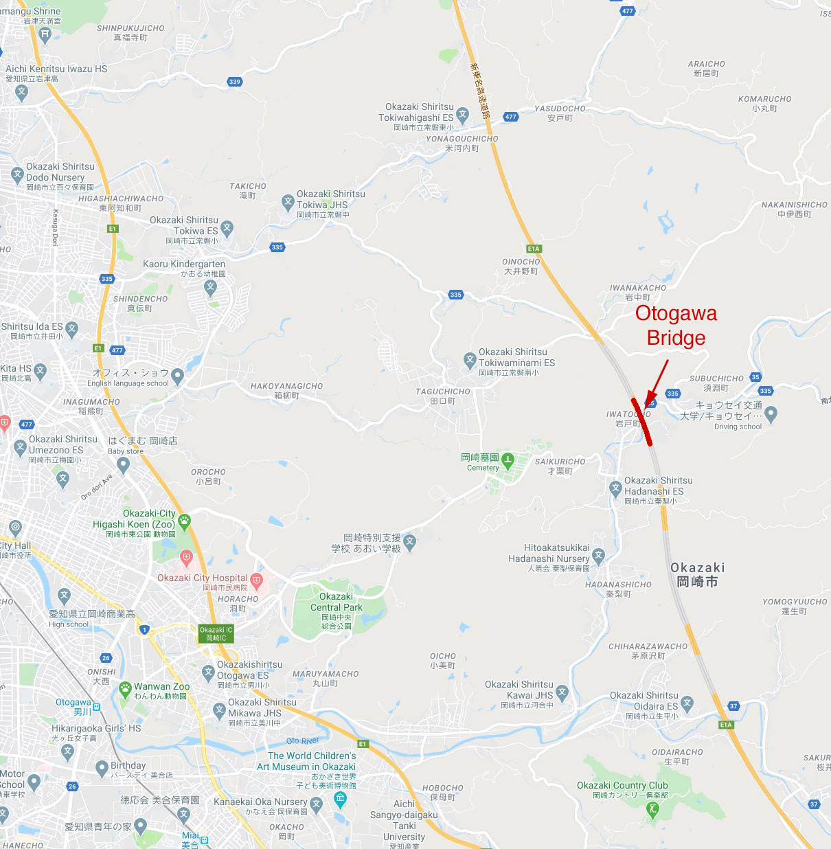 | 1,210 × 1,236 (328 KB) | Sakowski (talk | contribs) | Otogawa Bridge location map. |
You cannot overwrite this file.
File usage
The following 2 pages use this file: