El Carrizo Bridge
El Carrizo Bridge
Puente El Carrizo
El Palmito, Sinaloa, Mexico
650 feet high / 198 meters high
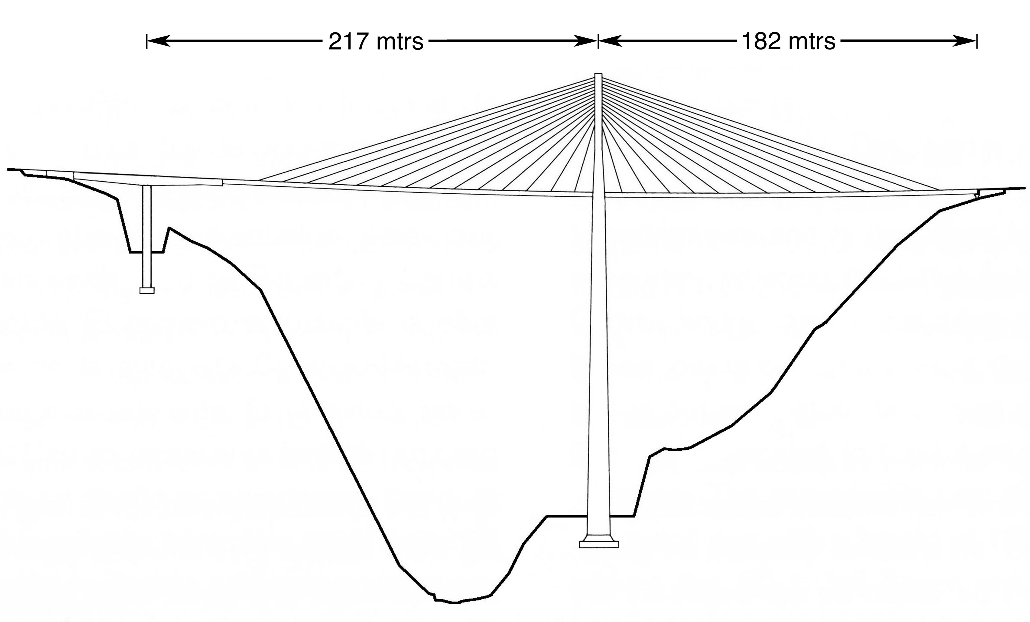
712 foot span / 217 meter span
2013
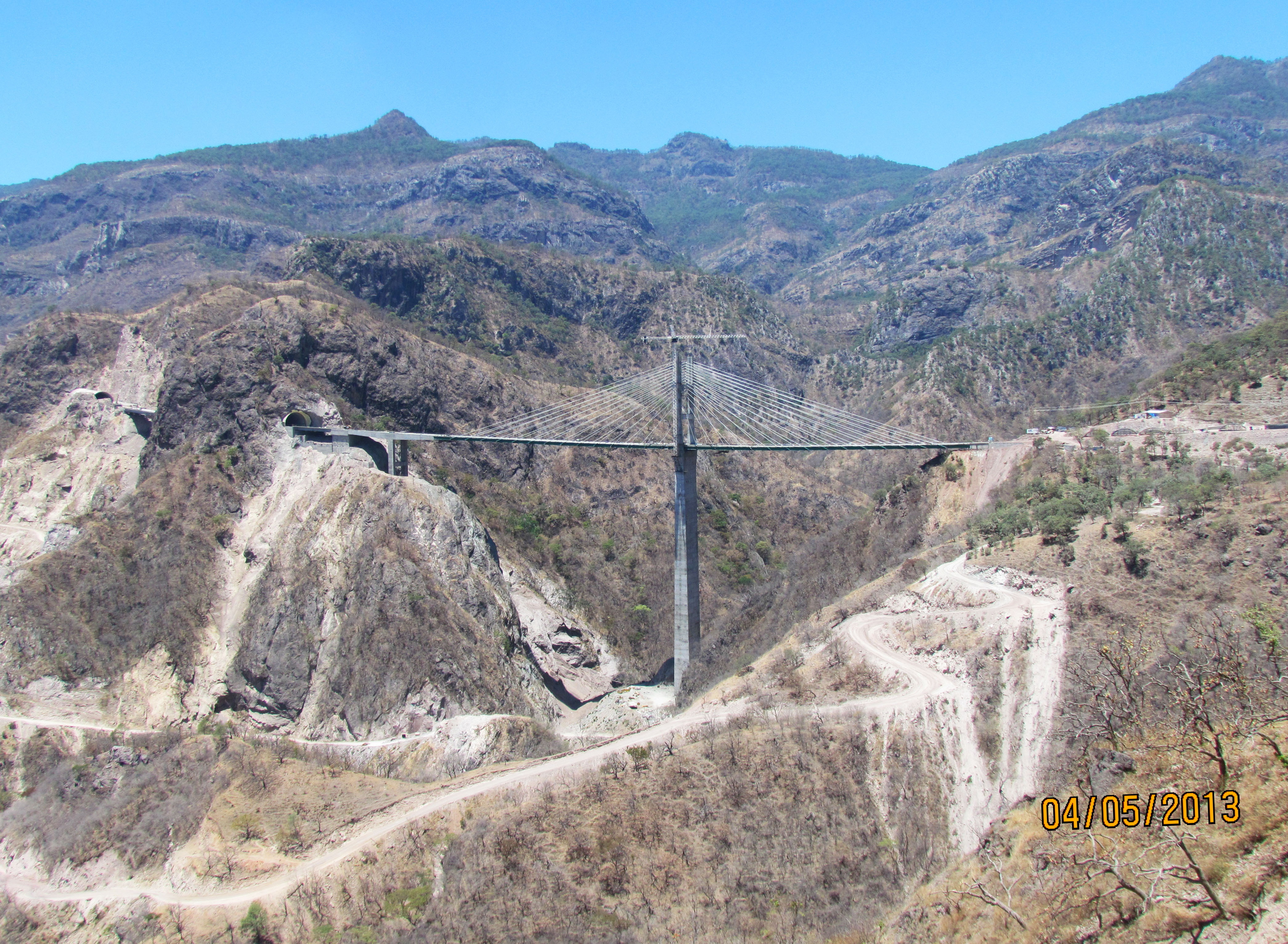
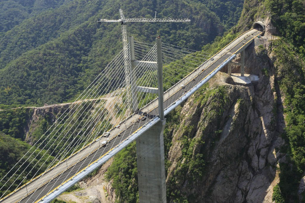
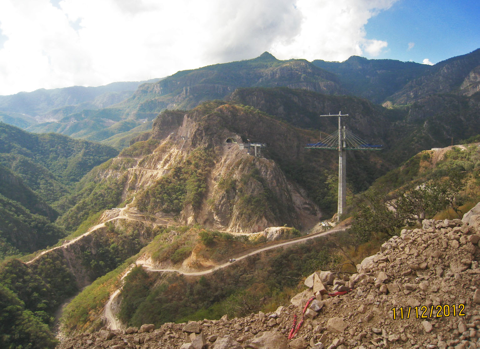
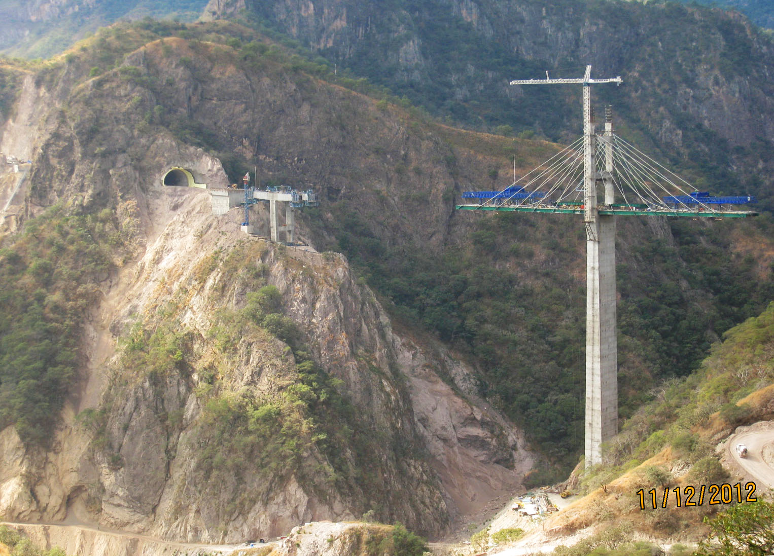
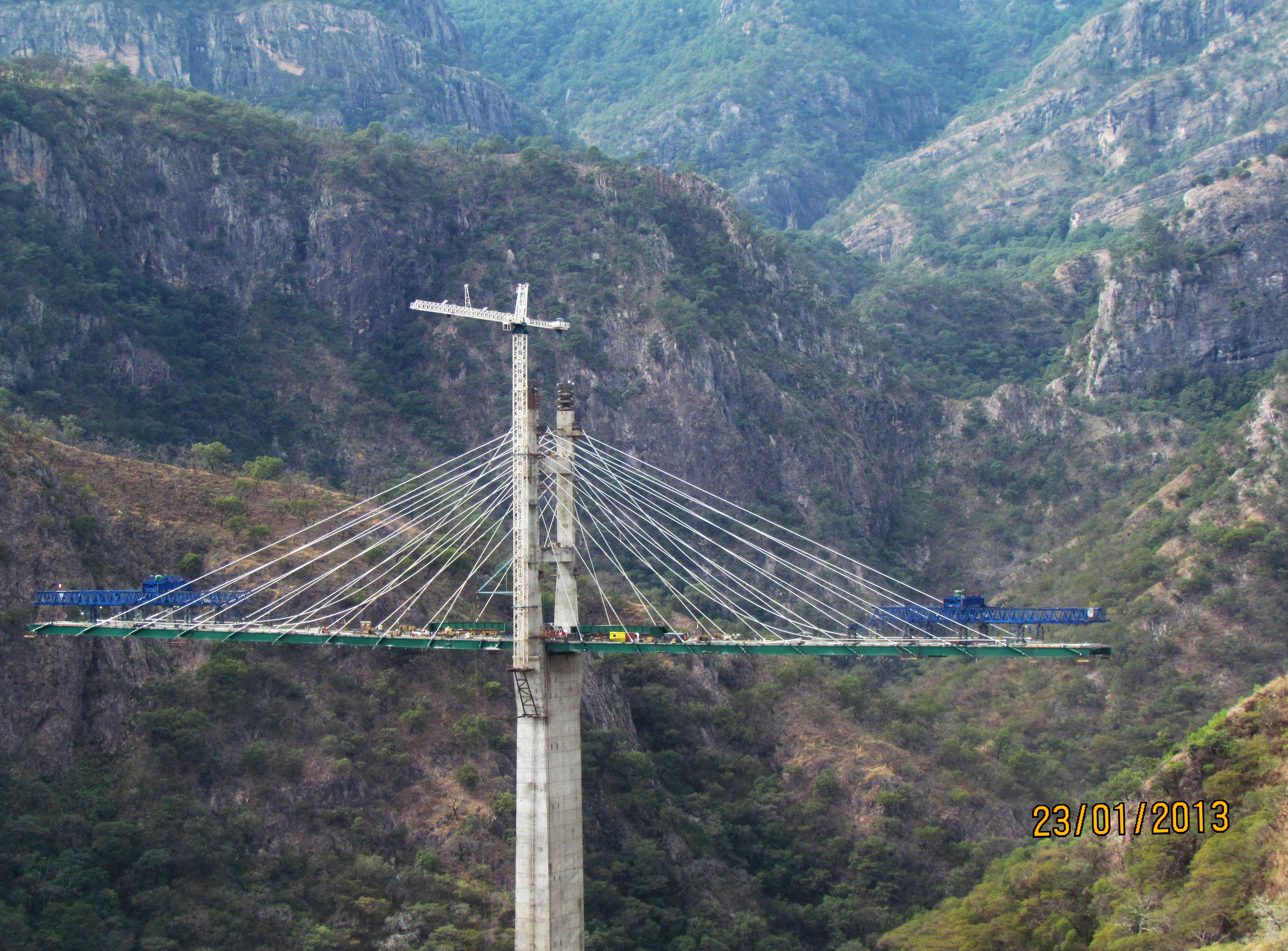
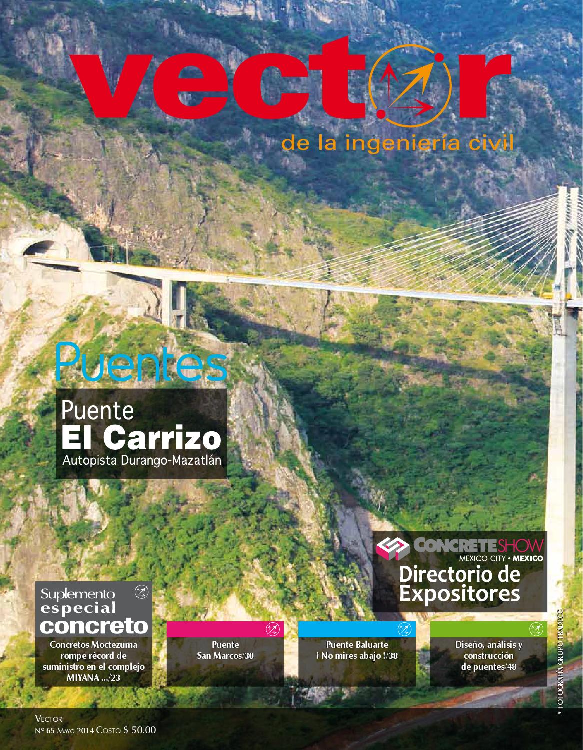
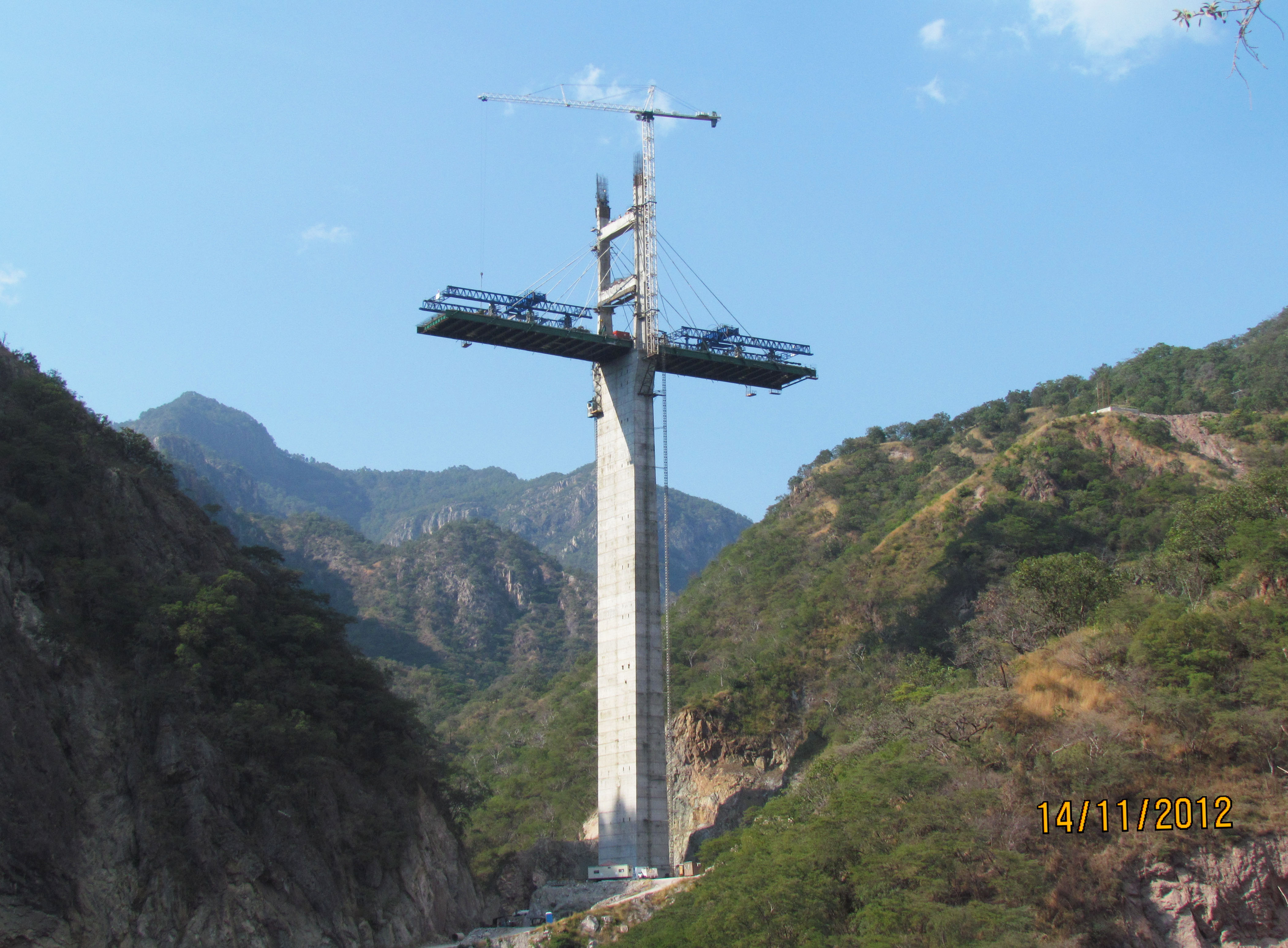
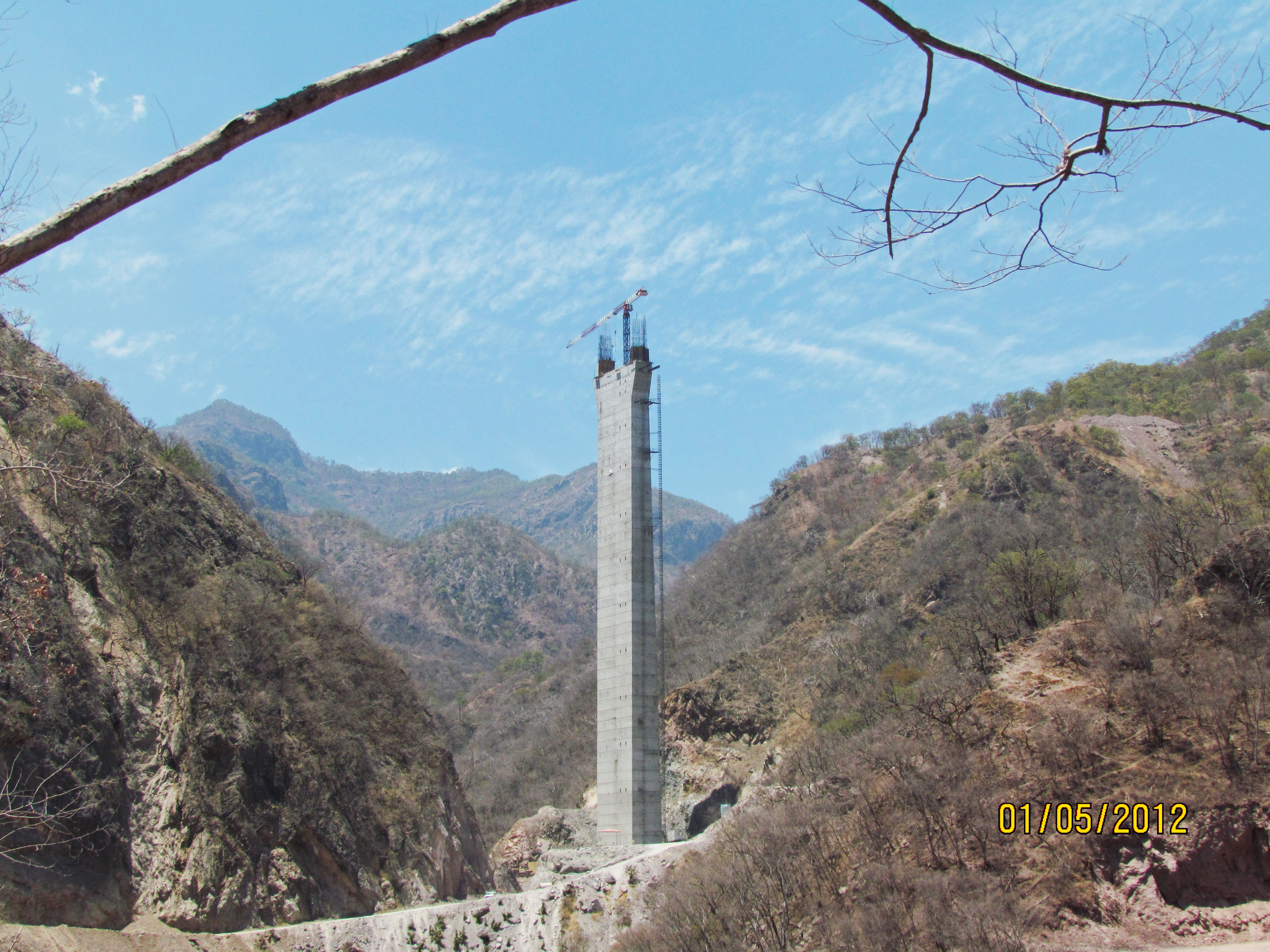
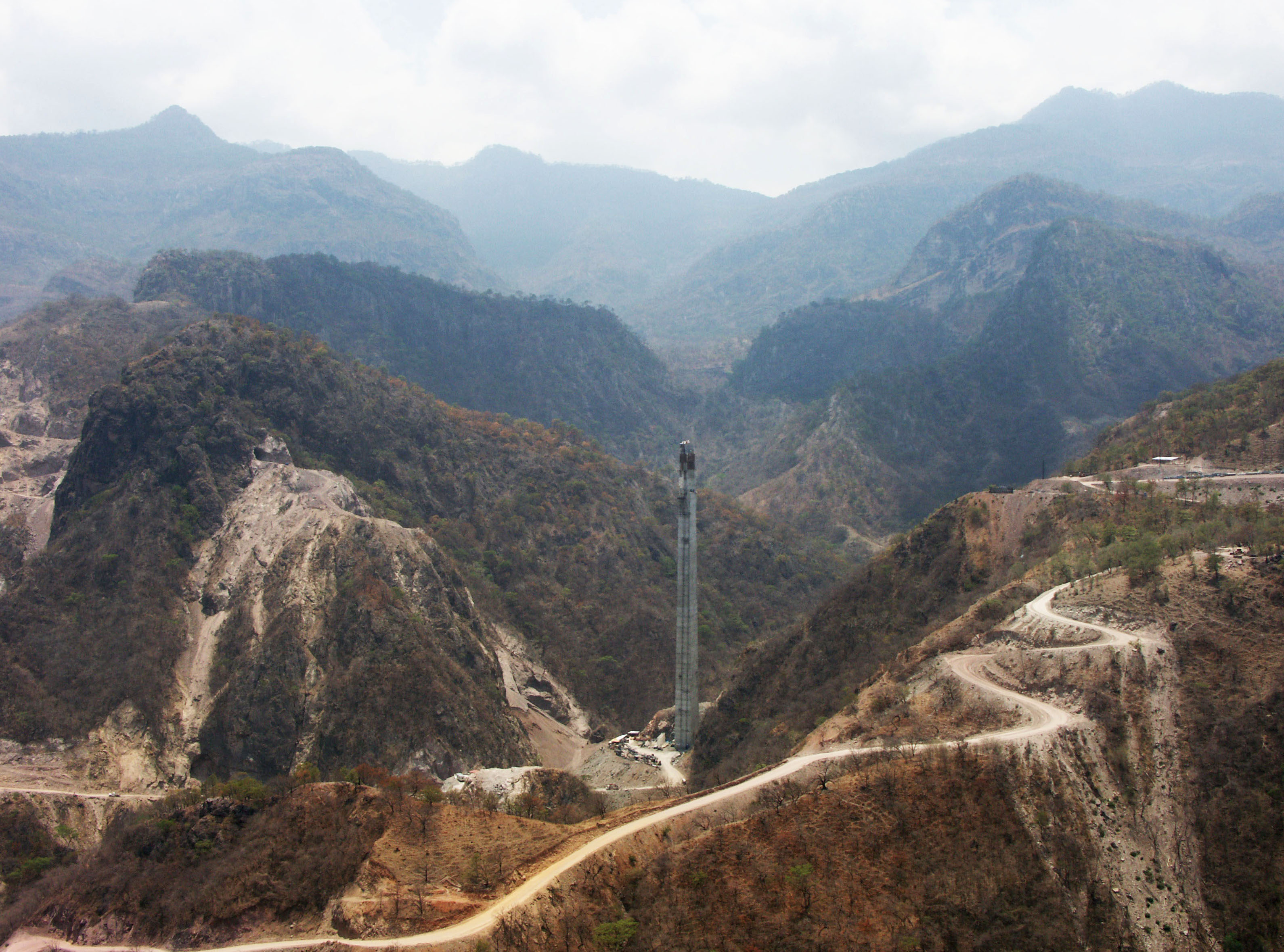
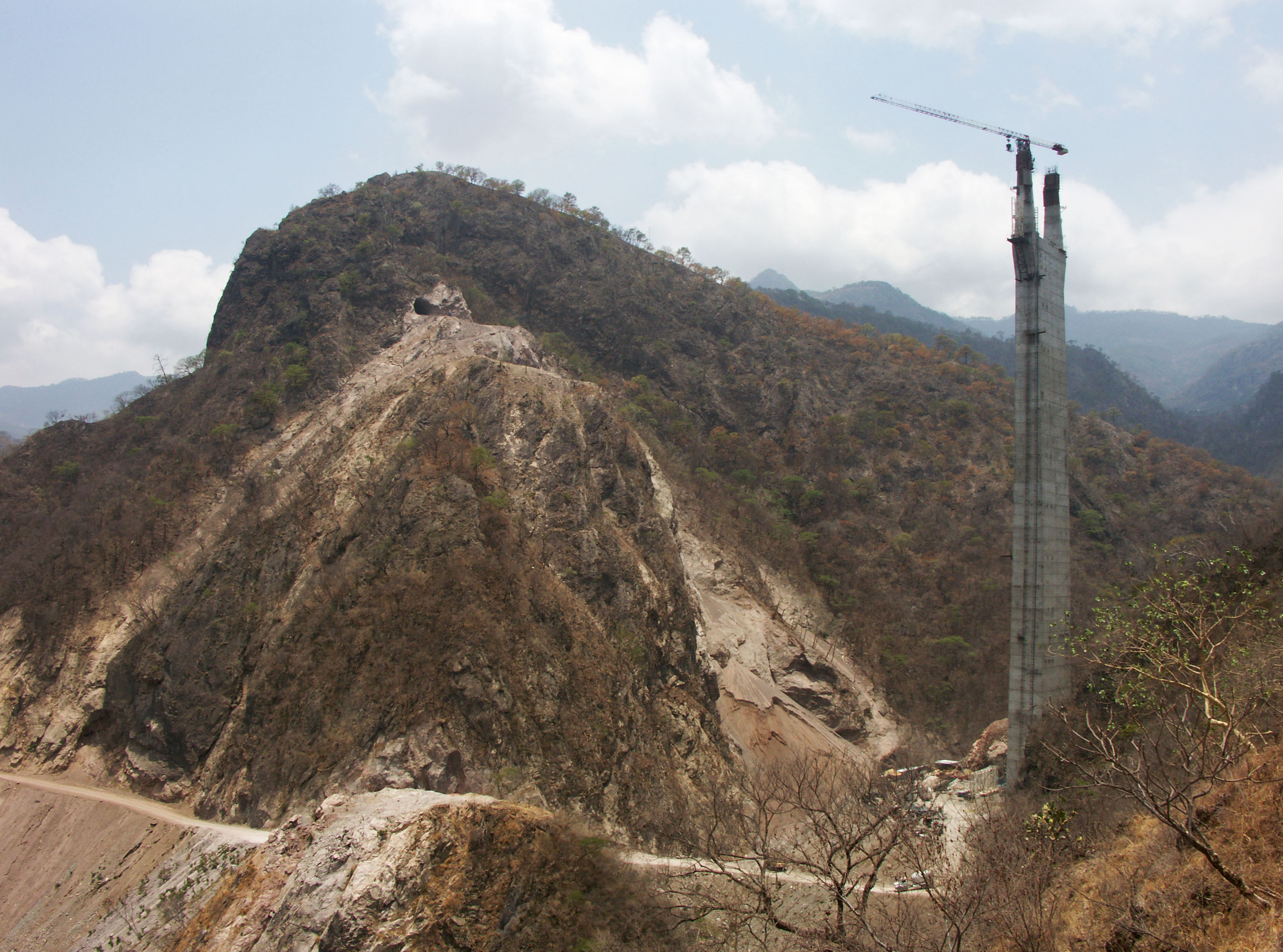
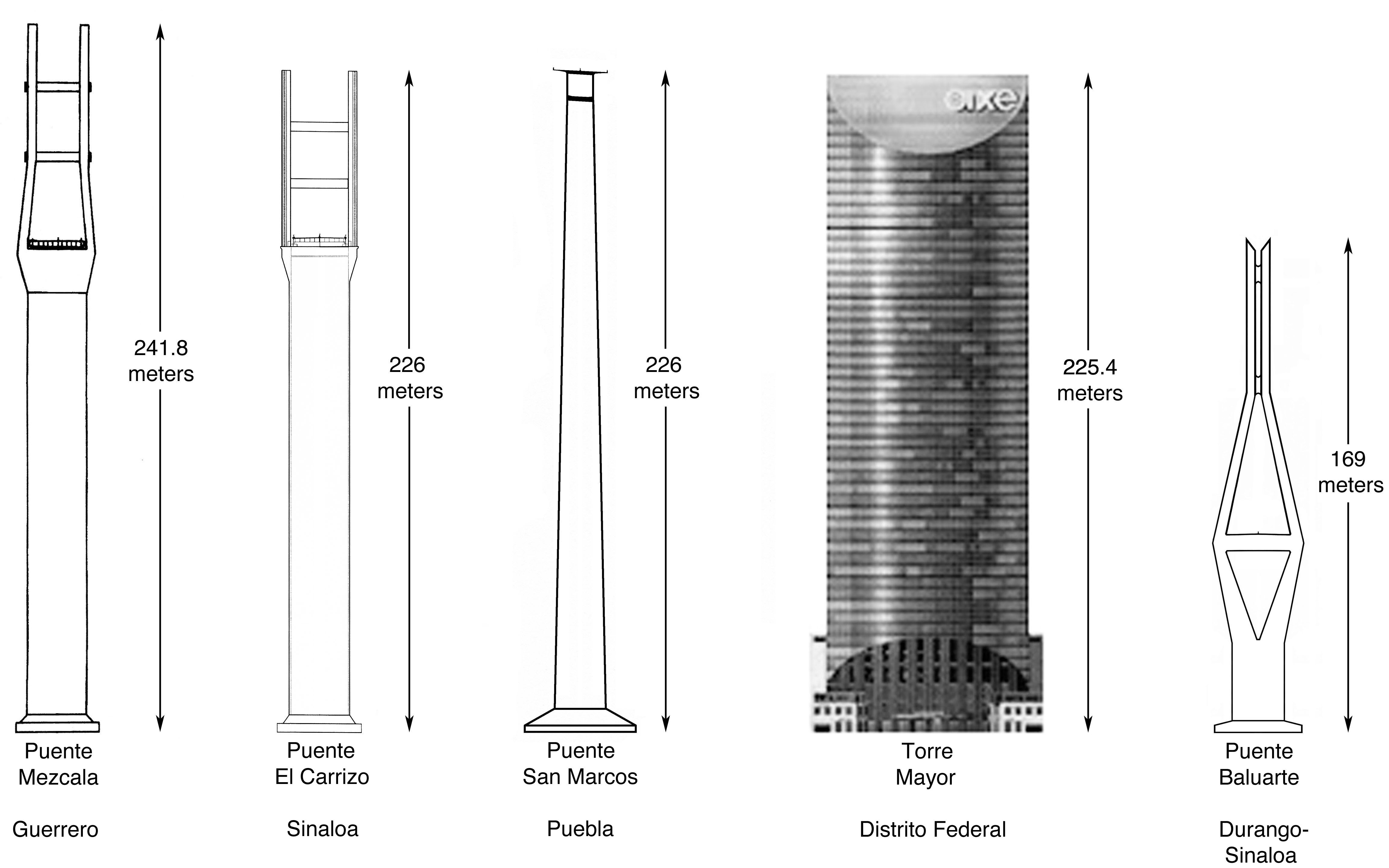
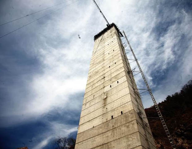
Opened in 2013, El Carrizo is one of several amazingly high bridges that are a part of the greatest highway engineering project ever undertaken in North American history - the Durango to Mazatlán highway in northwestern Mexico. As the second highest bridge on the route, El Carrizo will also be the third highest bridge in Mexico at 650 feet (198 mtrs). Only the nearby Baluarte River bridge on the same Durango-Mazatlán highway will be higher with a deck 1,280 feet (390 mtrs) above the river. El Carrizo's 741 foot (226 meter) tall central tower is the tallest bridge on the highway and the second tallest bridge structure in all of North America after the Mezcala Bridge. The structure is just one meter higher then the Torre Mayor building in Mexico City.
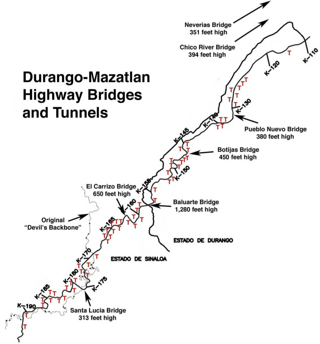
The Durango-Mazatlán highway is the only crossing for more than 500 miles (800 km) between the Pacific coast and the interior of Mexico. The path of this 2-lane highway roughly parallels the famous “Devil’s Backbone”, a narrow road that earned its nickname from the way it follows the precarious ridge crest of the jagged peaks of the Sierra Madre Occidental mountains. The dangerous road is a seemingly endless onslaught of twisting, terrifying turns that are so tight there are times the road nearly spirals back into itself.
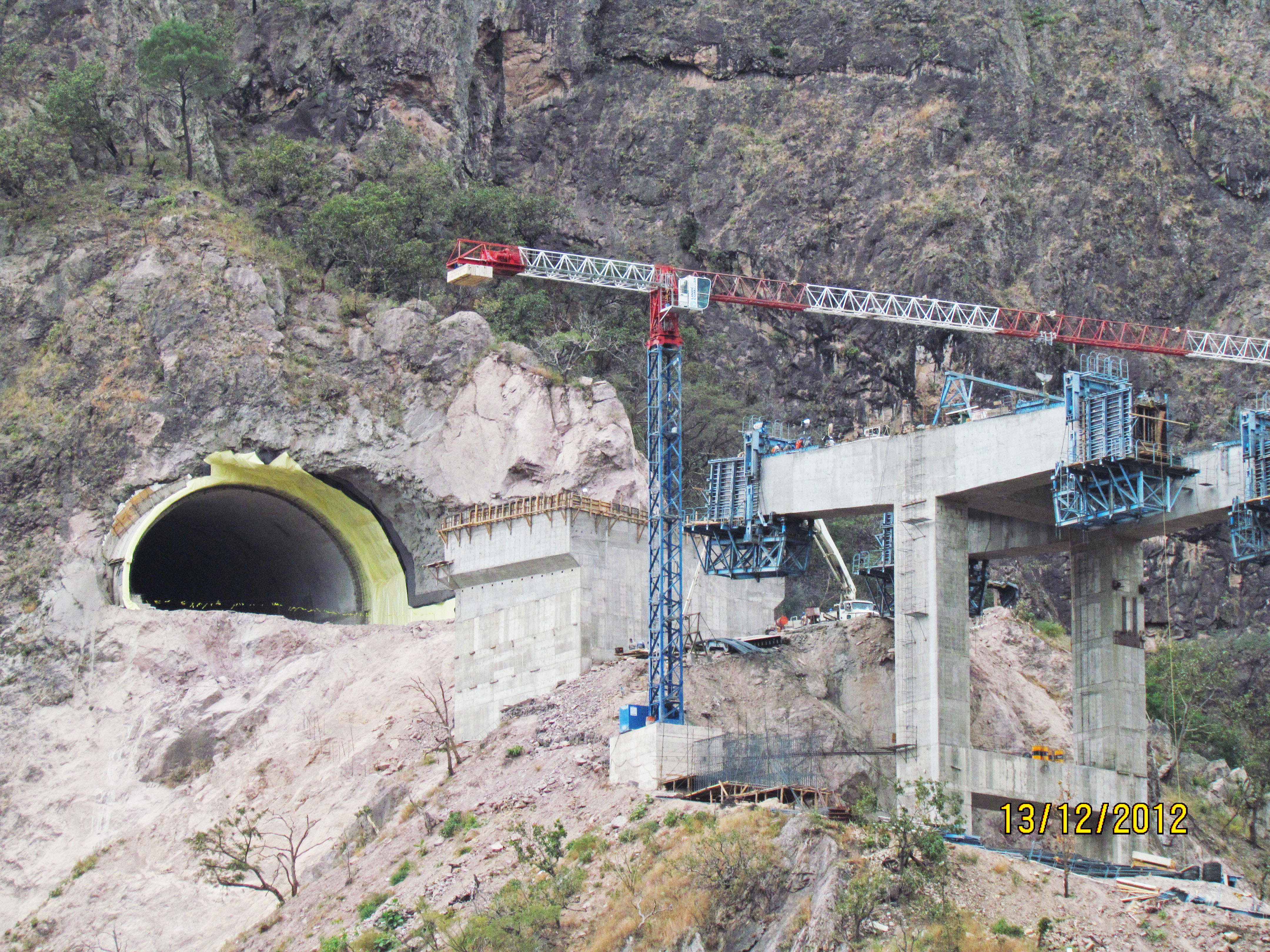
By cutting a safer, more direct route through the mountains, the highway department of Mexico hopes to improve trade and increase tourism between the city of Durango and the coastal city of Mazatlán. To achieve this connection, the Mexican engineers were forced to design an autopista with no less than 64 tunnels - far more than have ever been built on any road in North America. The highway has a total of 7 bridges that exceed 300 feet (90 mtrs) in height including El Carrizo, Santa Lucia, Neverías, Chico, Botijas, Pueblo Nuevo and Baluarte. Only China’s Western mountain highways and Italy’s A3 have a greater collection of high bridges.
Image by SCT.
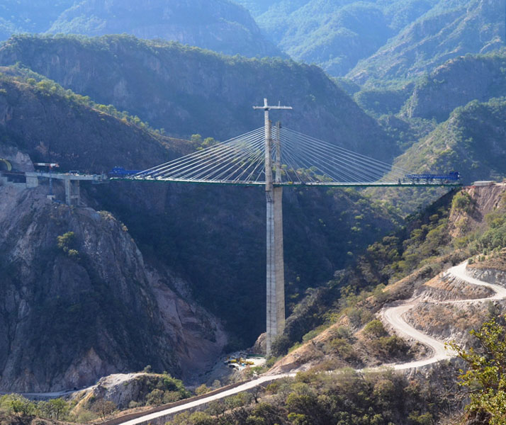
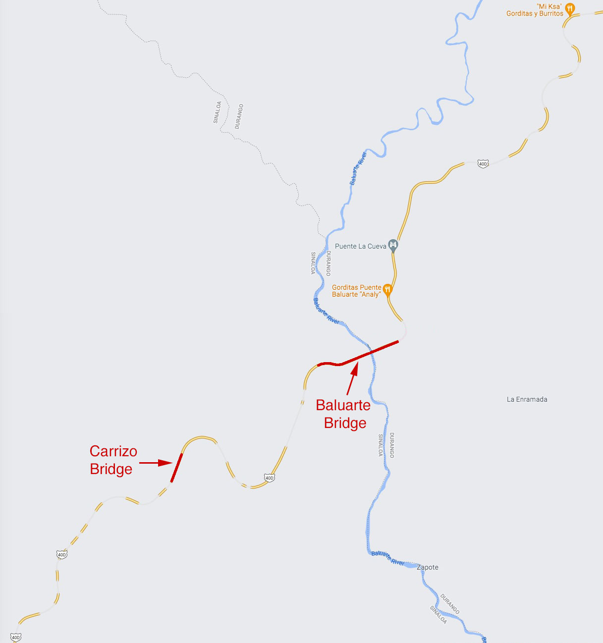
With so much attention on the construction of Baluarte Bridge, few in the media have given much attention to the second cable stayed crossing of the El Carrizo gorge located just 5 kilometers west.
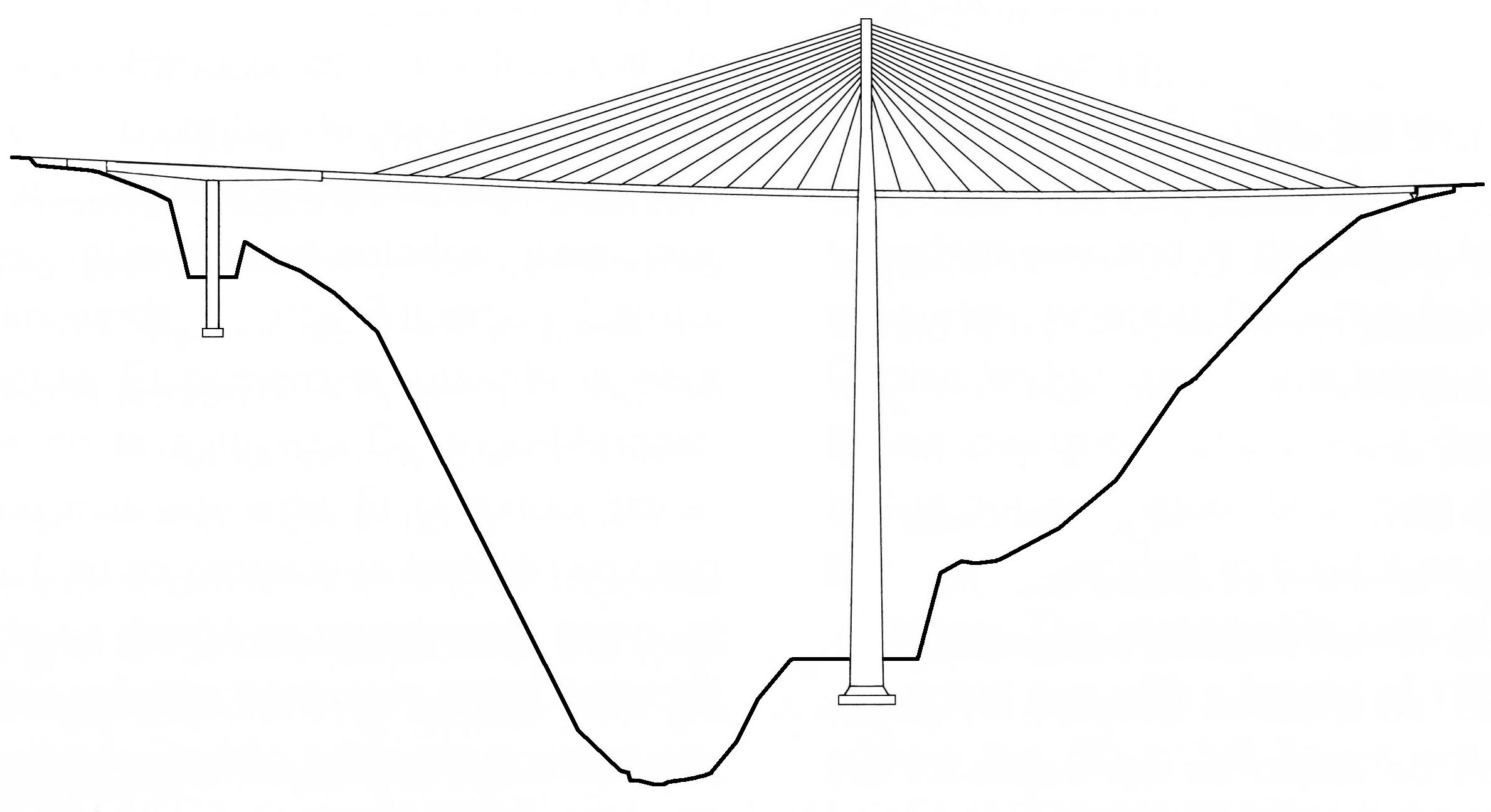
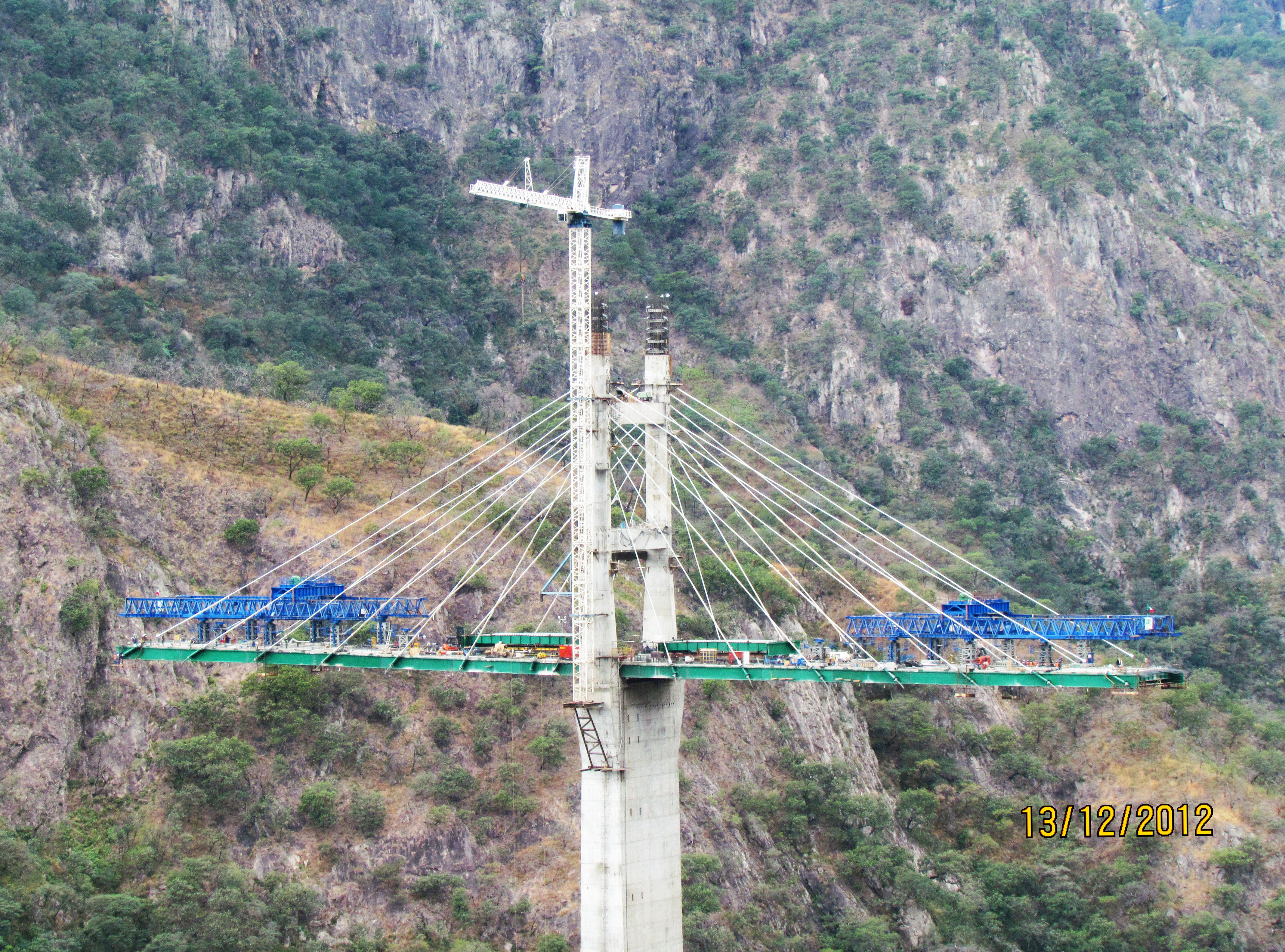
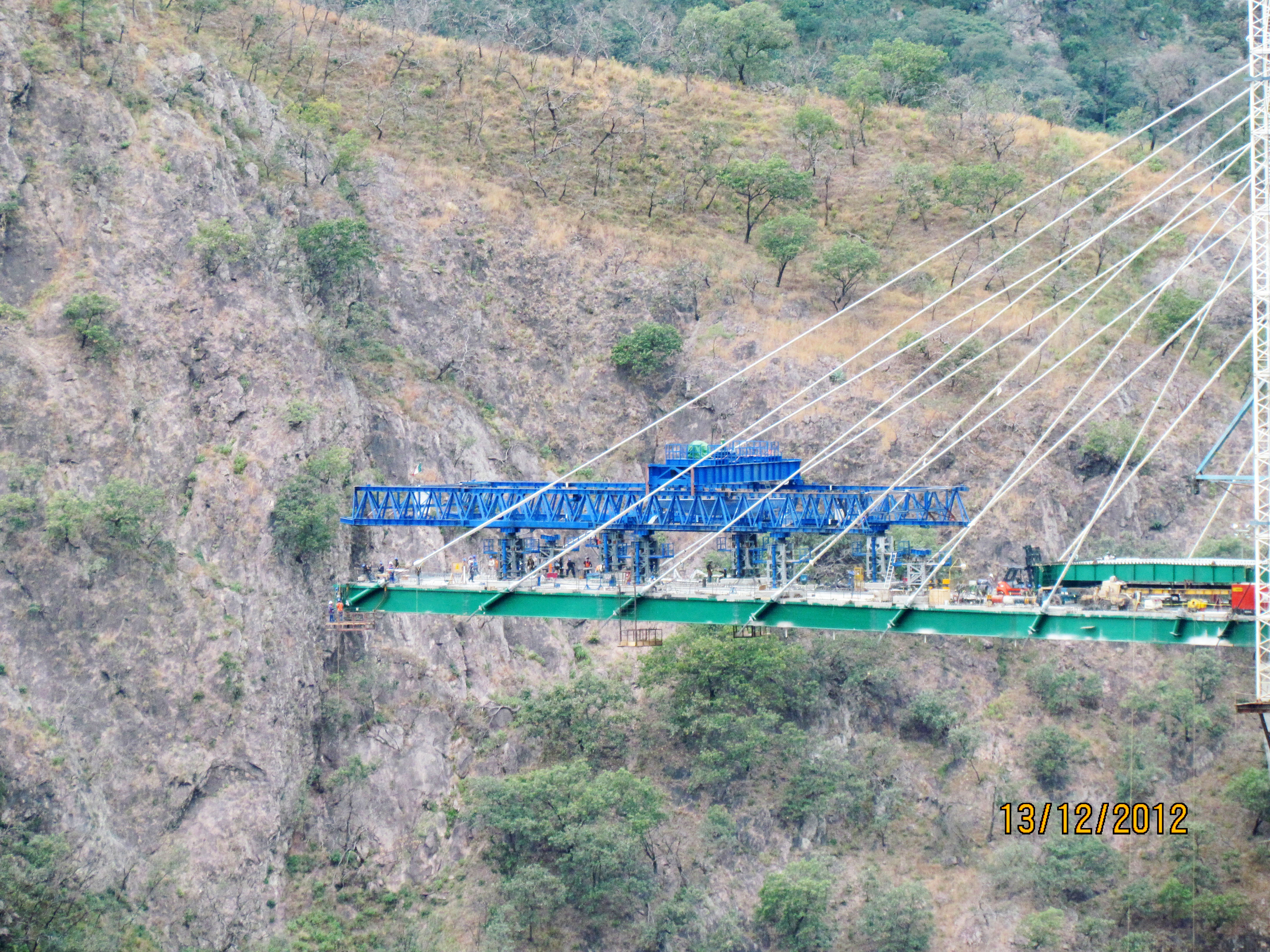
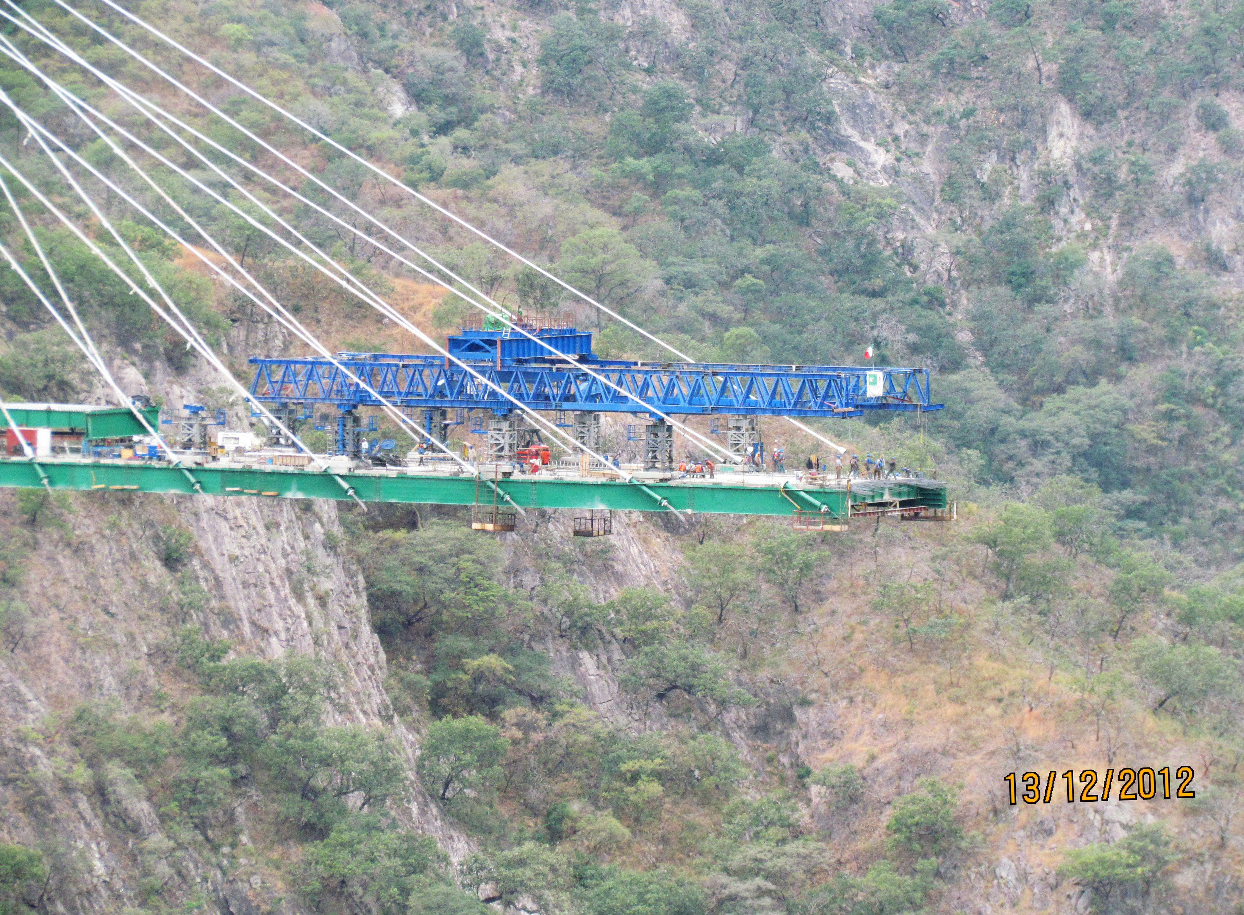
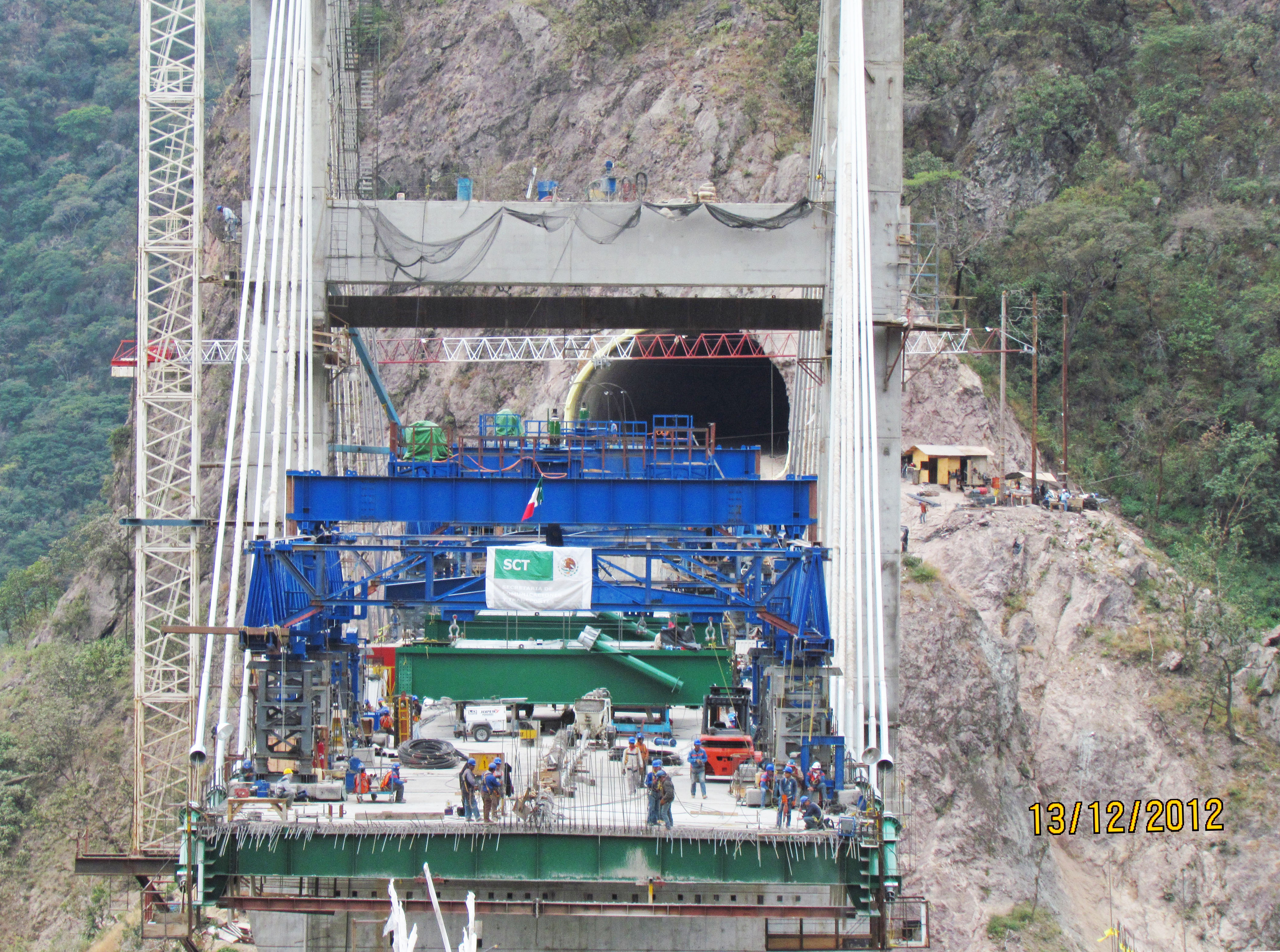
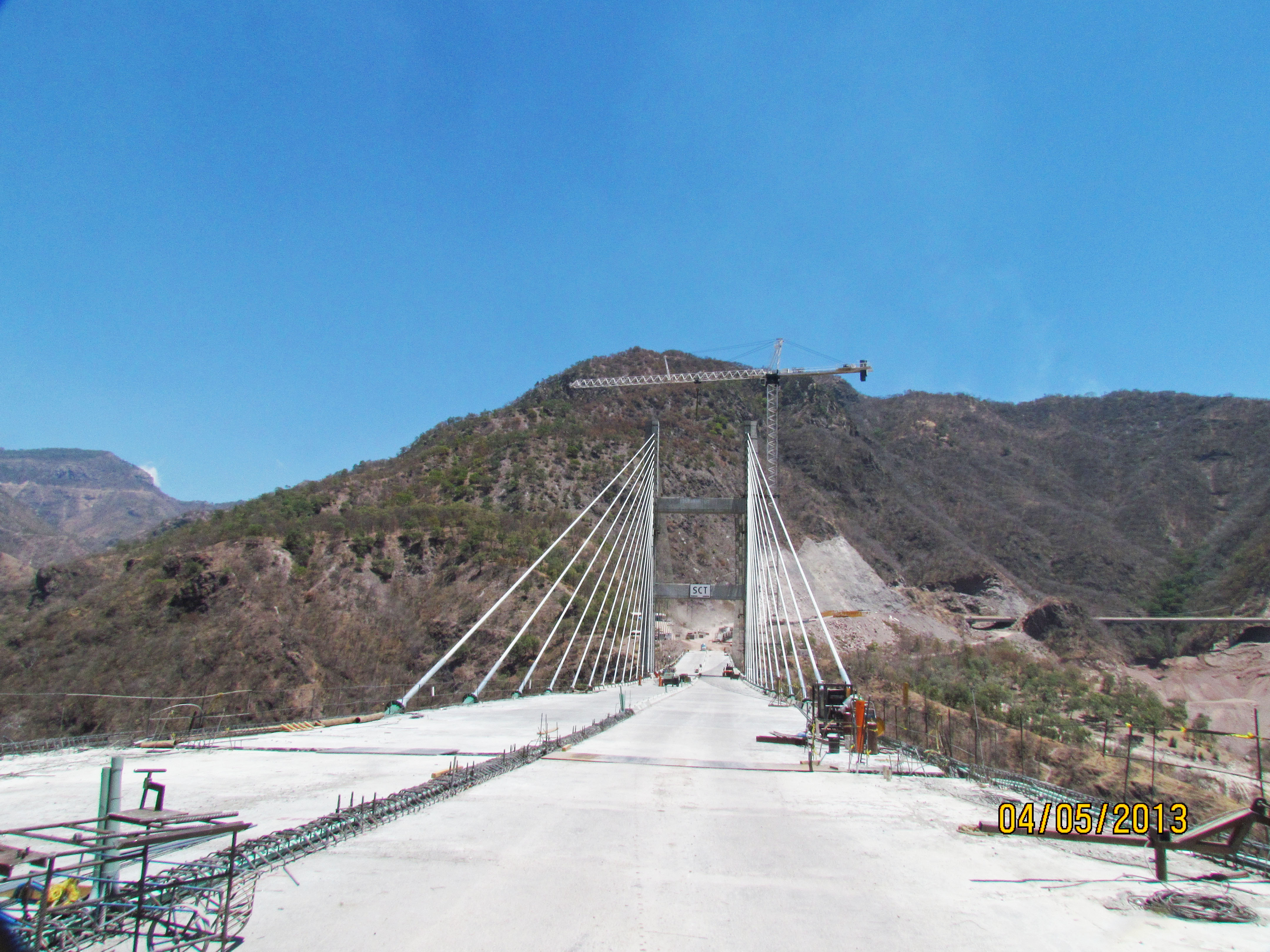
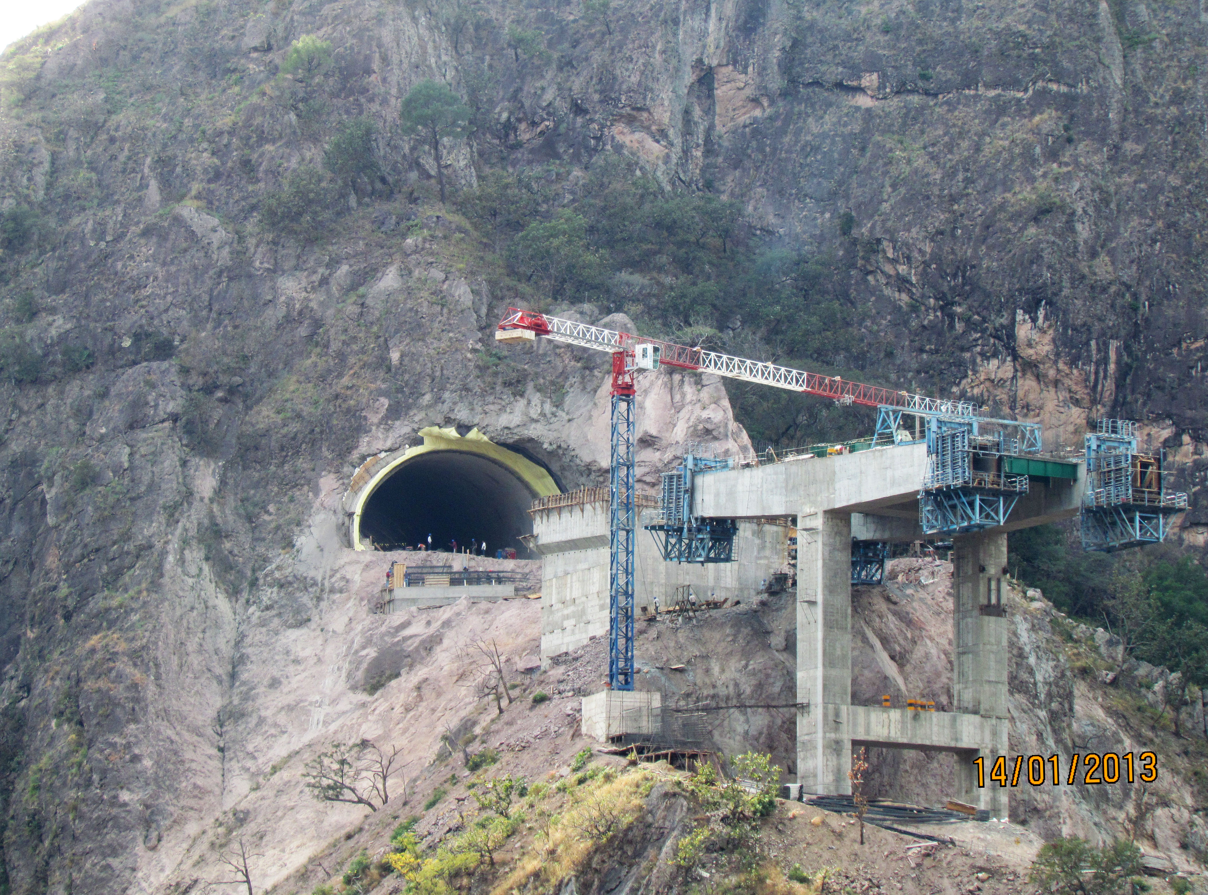
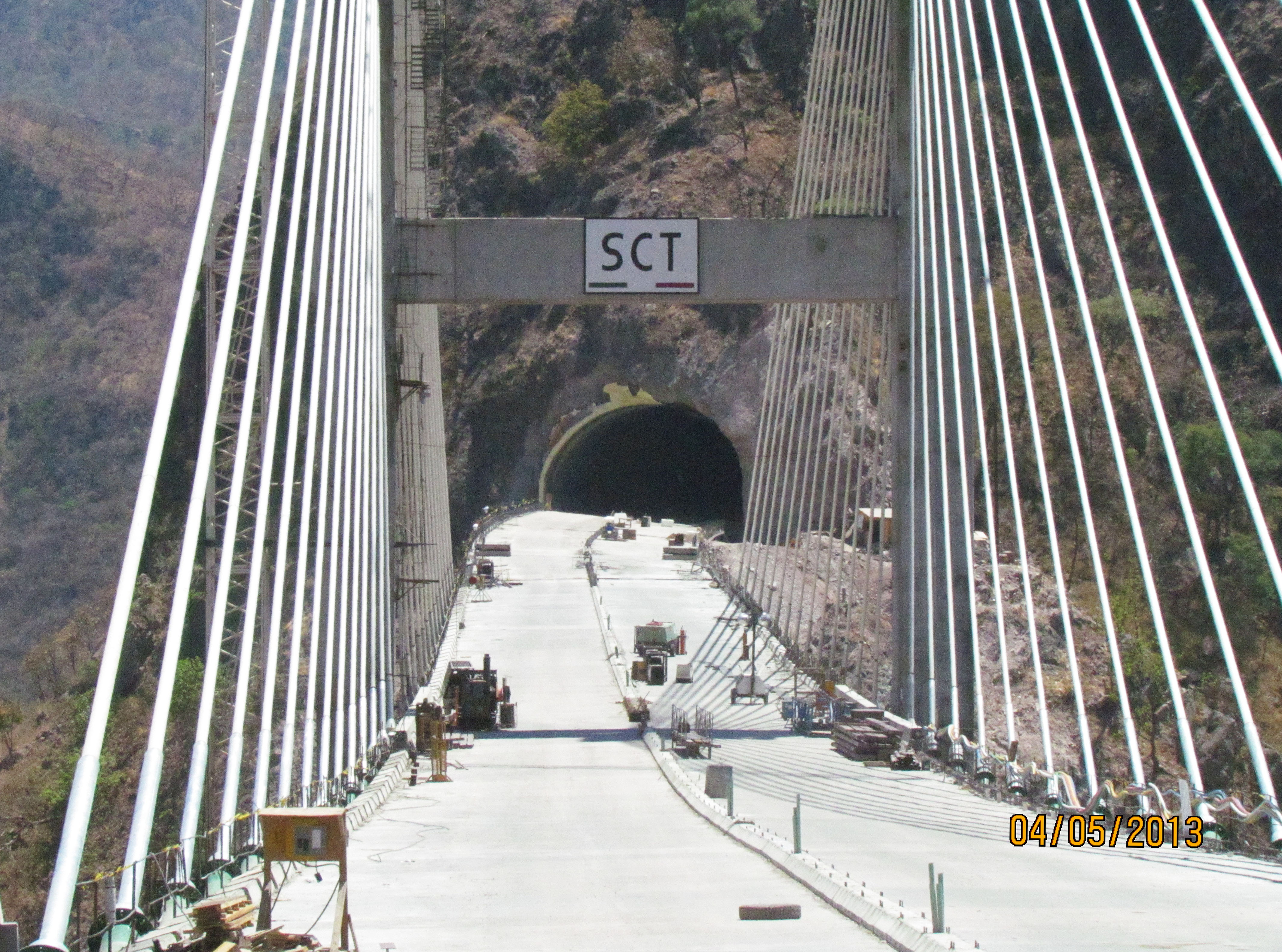
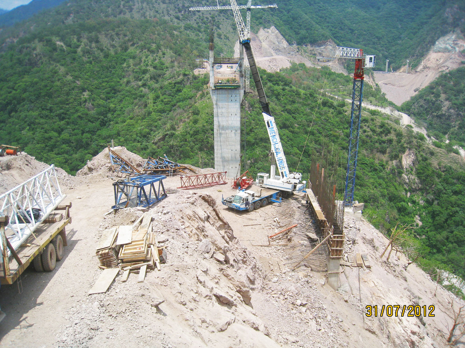
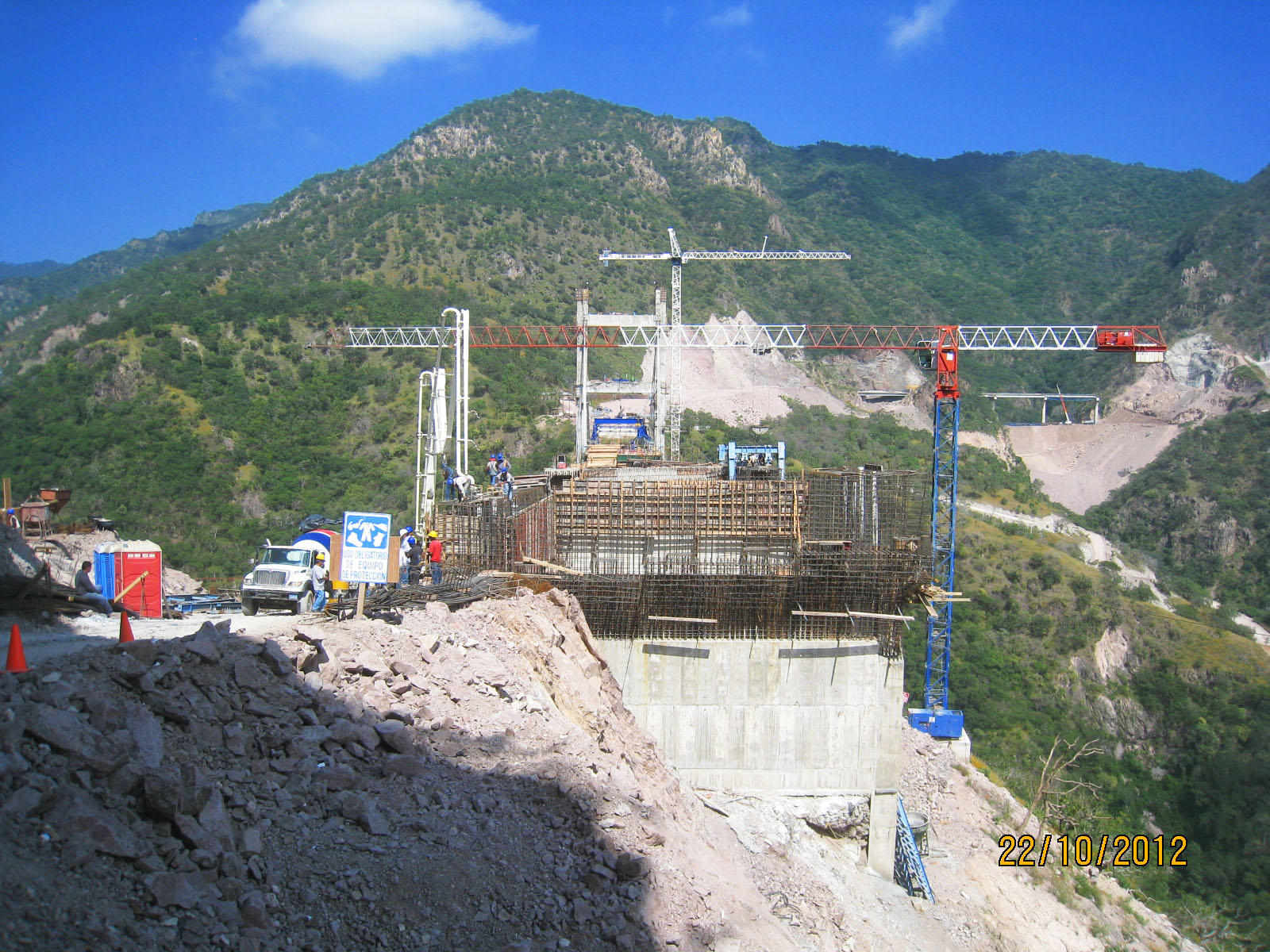
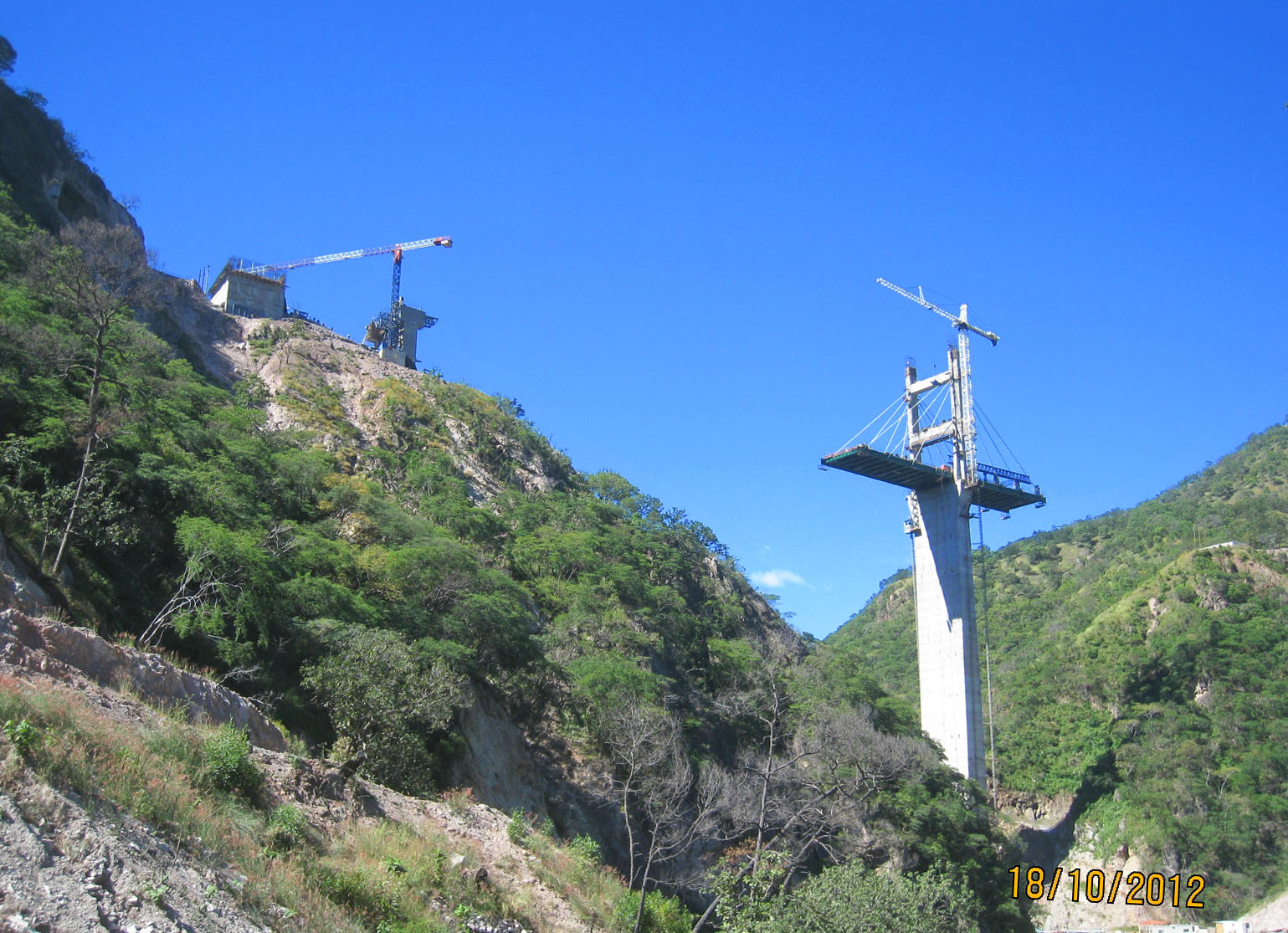
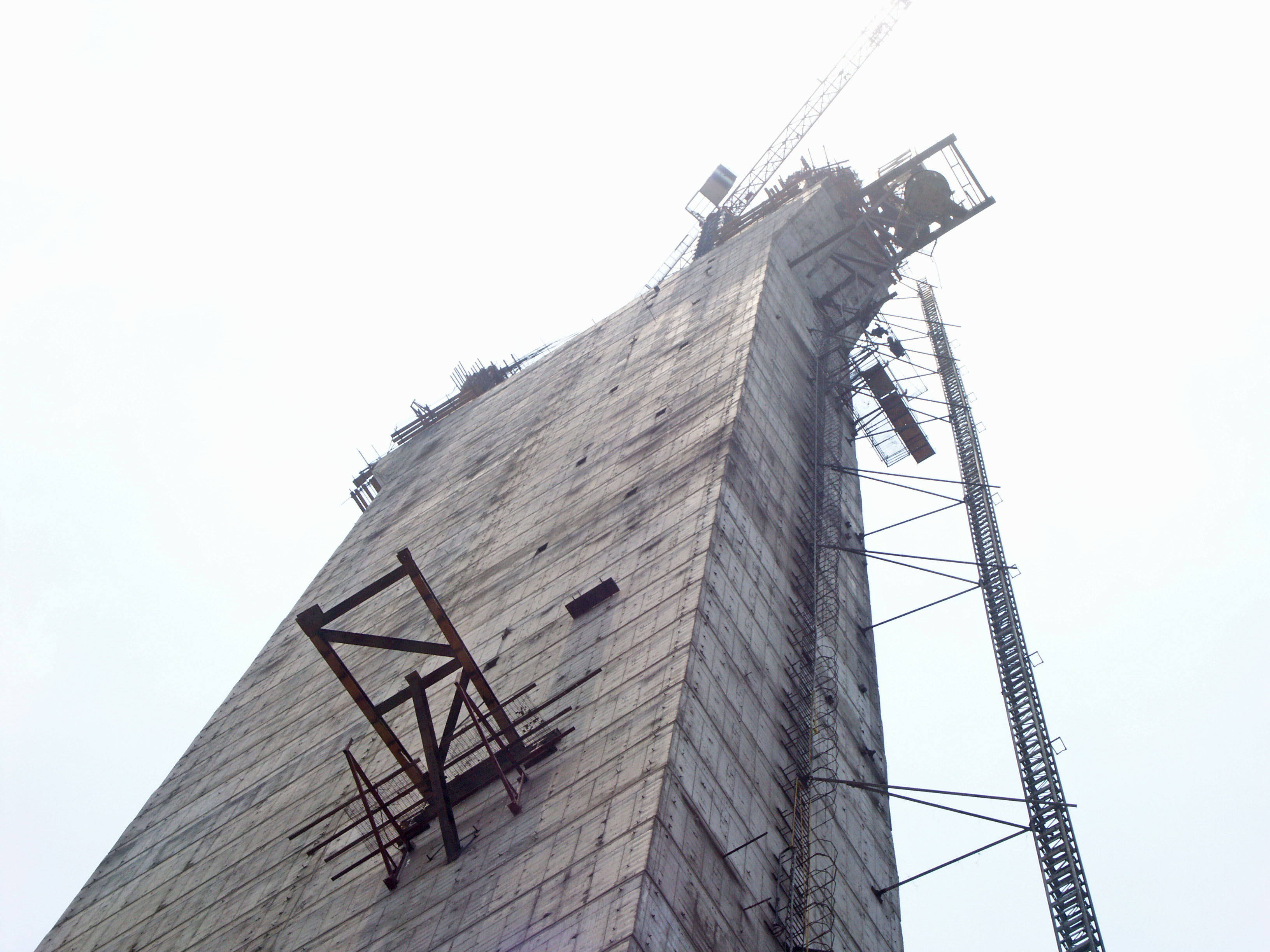
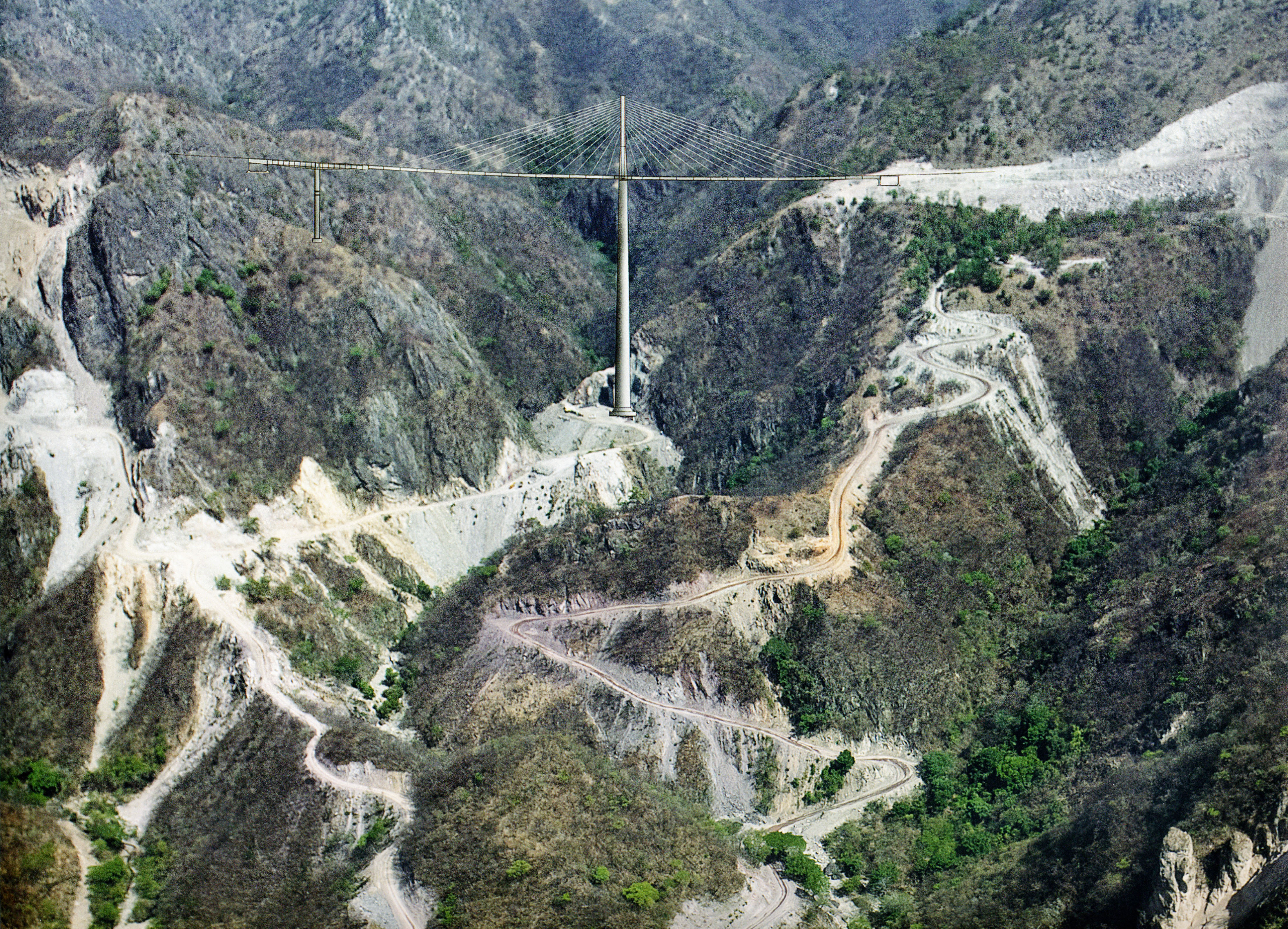
El Carrizo was originally designed as a two span cantilevered beam bridge before it was redesigned as a single tower cable stayed bridge. The current design has a central span of 30 segments, each with individual lengths of 8 meters and a central unit of 12 meters where the deck passes through the tower. 28 of these segments are connected to the central mast by a pair of stays. Image by Eric Sakowski / HighestBridges.com
Image by SCT.
Image by SCT.
Image by SCT.
Image by SCT.
Image by SCT.
Image by SCT.
Image by SCT.
Image by SCT.
Image by SCT.
Image by SCT.
Image by SCT.
Image by SCT.
Image by SCT.
Image by SCT.
Image by SCT.
Image by SCT.
Image by Eric Sakowski / HighestBridges.com
Image by Eric Sakowski / HighestBridges.com
The Tallest Bridges of Mexico and the Torre Mayor Skyscraper
Diagram by Eric Sakowski / HighestBridges.com
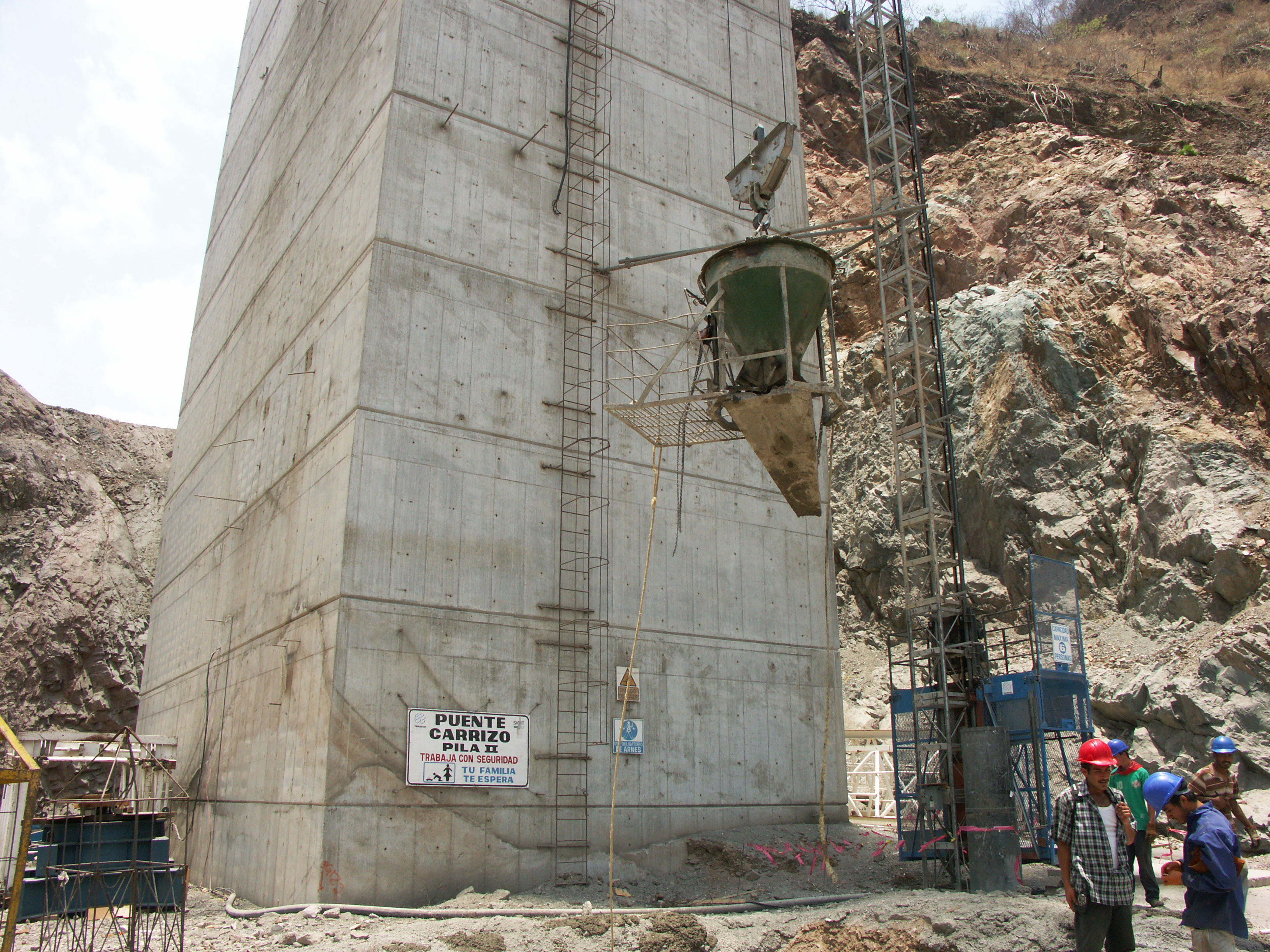
Puente El Carrizo pila II. Image by Eric Sakowski / HighestBridges.com
Image by Eric Sakowski / HighestBridges.com
Image by Eric Sakowski / HighestBridges.com
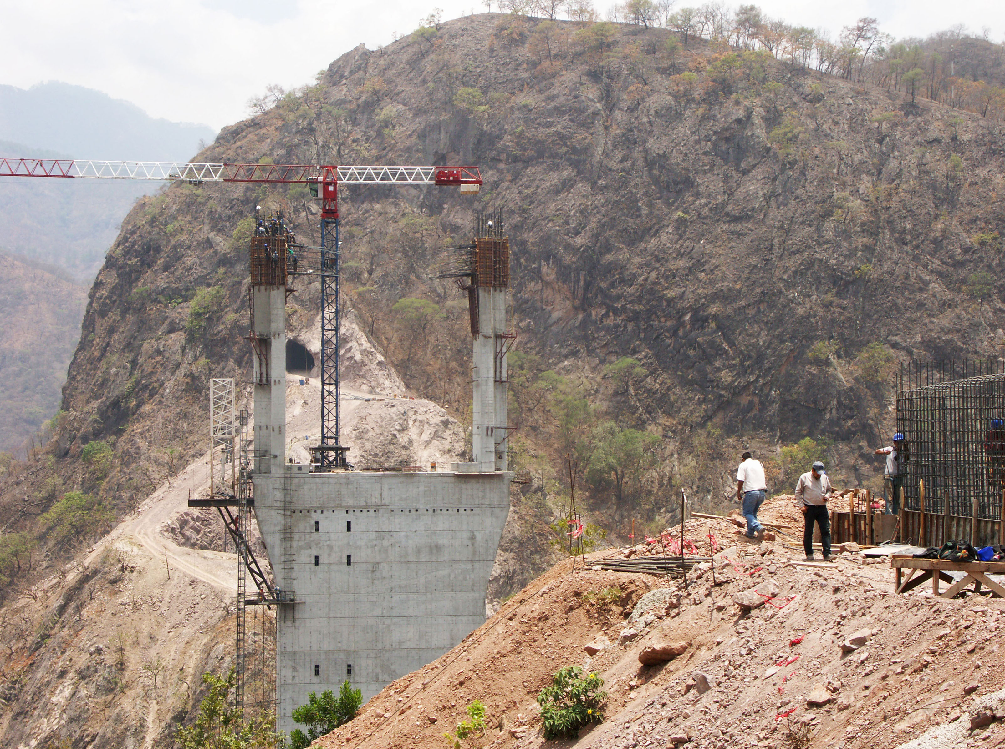
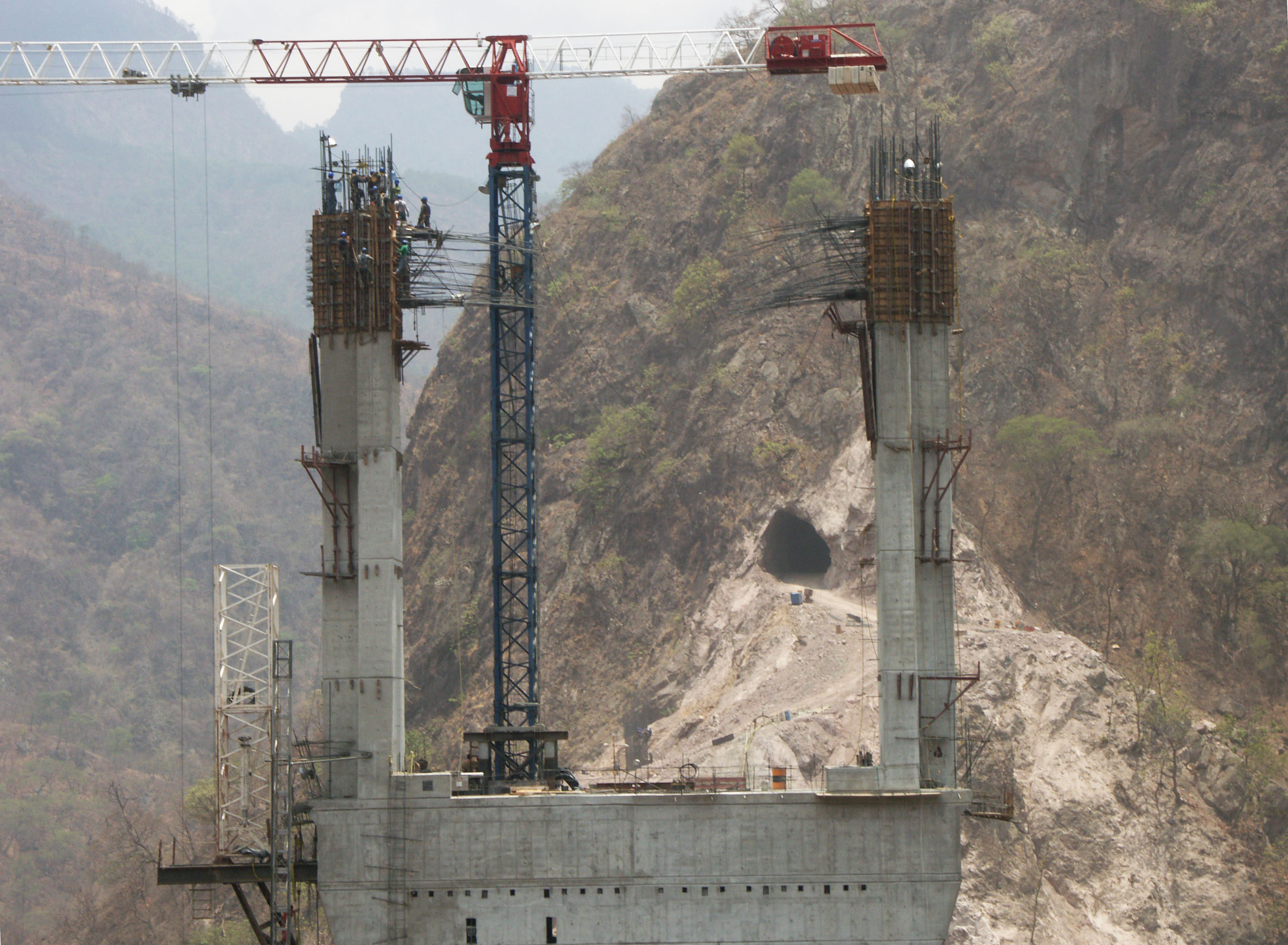
11 workers hang 200 meters above the canyon of El Carrizo! Image by Eric Sakowski / HighestBridges.com
Image by ElUniversal.com.mx
An early computer rendering of the bridge. Image by SCT.
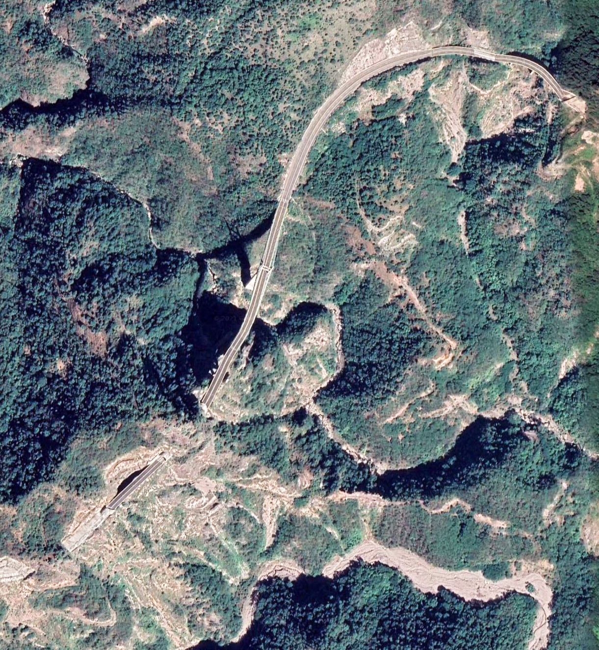
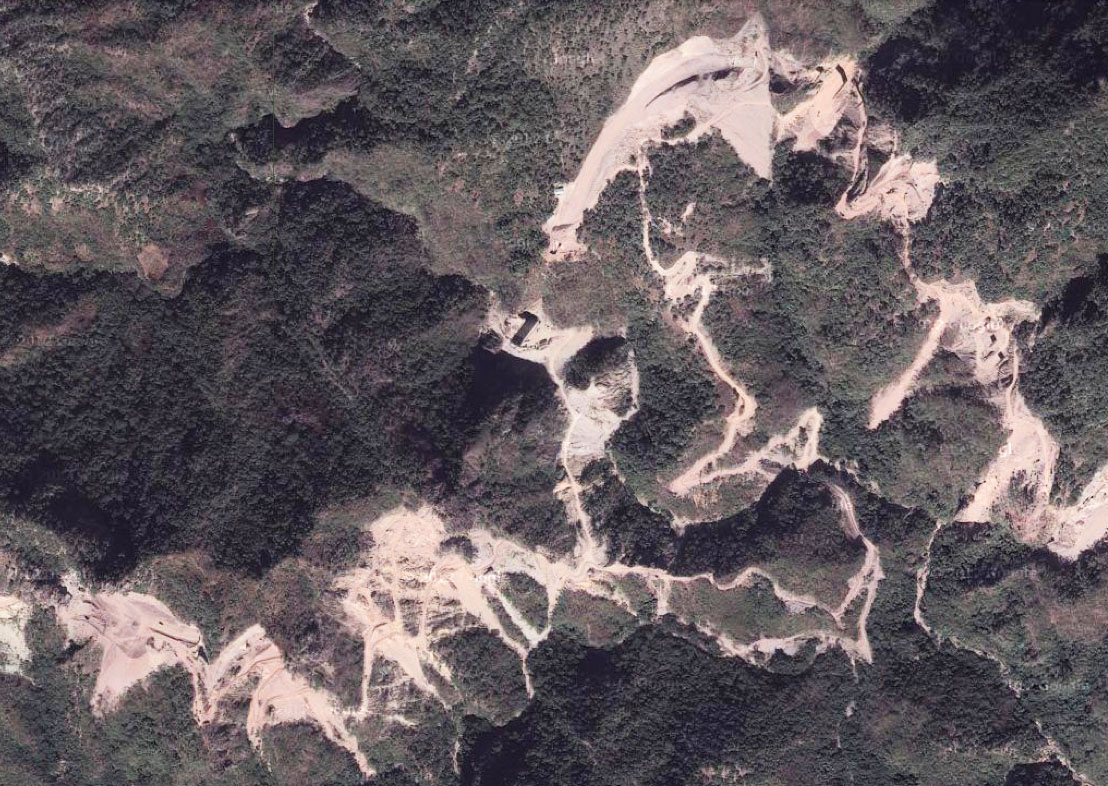
El Carrizo Bridge satellite image.
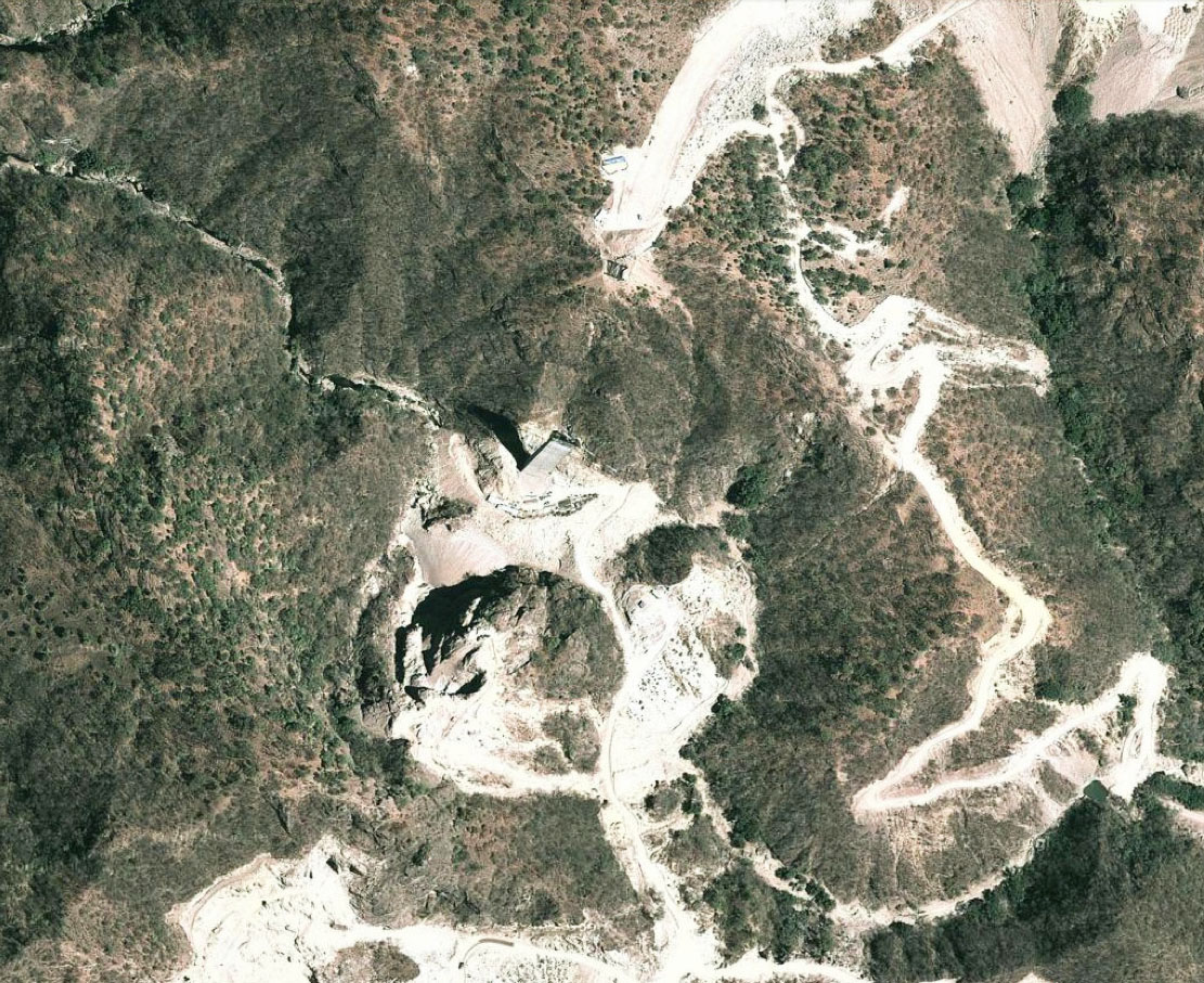
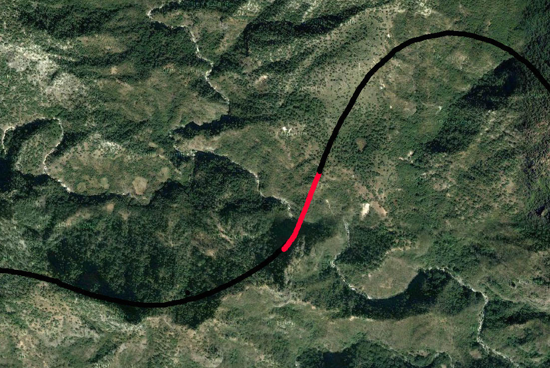
A view of the virgin forest in the El Carrizo Gorge before the highway was constructed.
El Carrizo Bridge location map.
Map of the Durango-Mazatlan highway showing the location of the 7 highest bridges and 59 of the 61 tunnels. The Neverías and Rio Chico bridges were completed between 2005 and 2008 and are open to traffic. The rest of the highway opened in 2013.
