DurangoMazatlanHighwayTour
Durango-Mazatlán Highway Tour
Carretera Durango-Mazatlán Turística
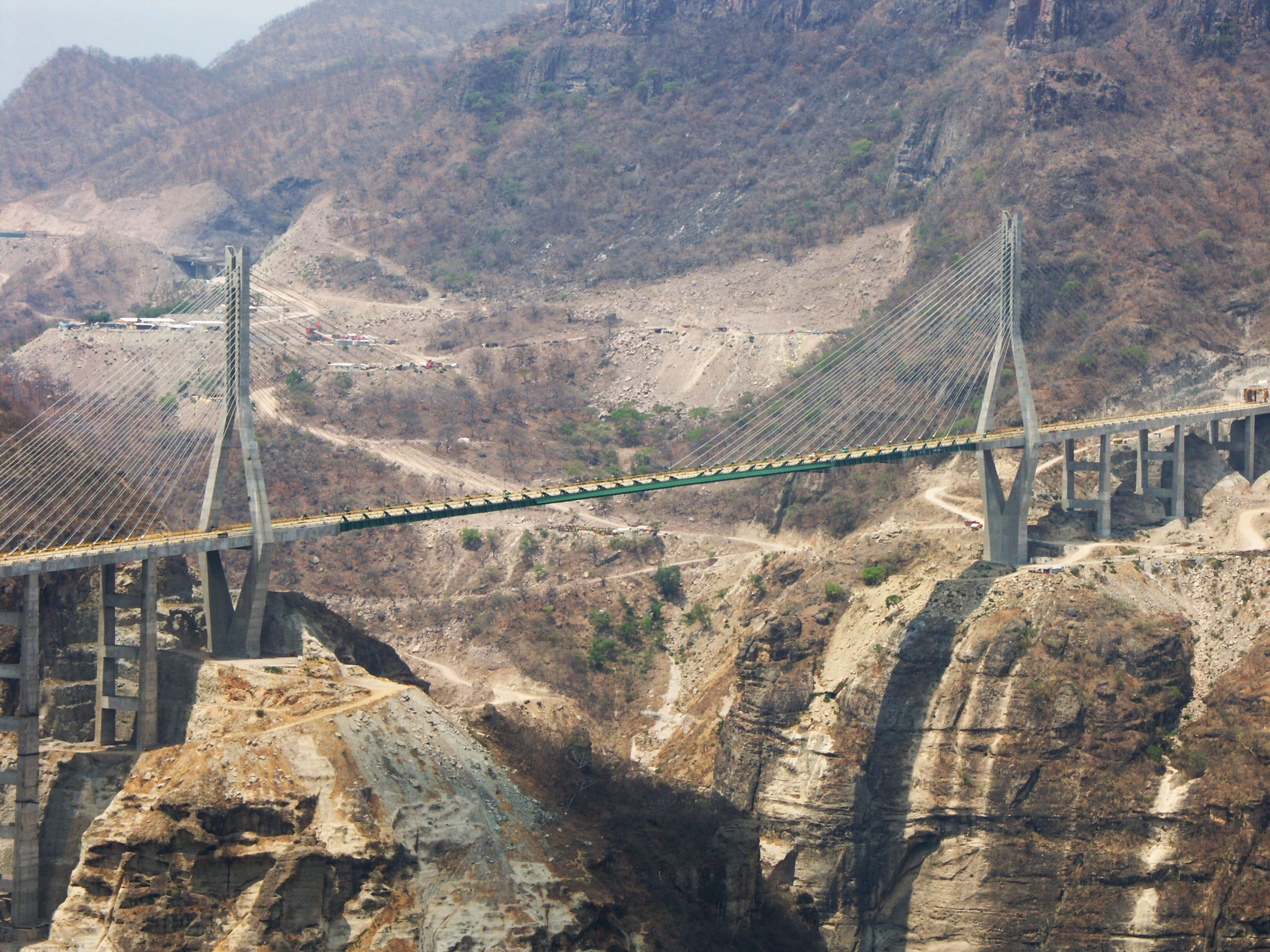
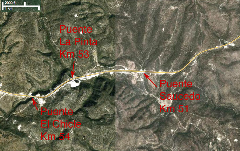
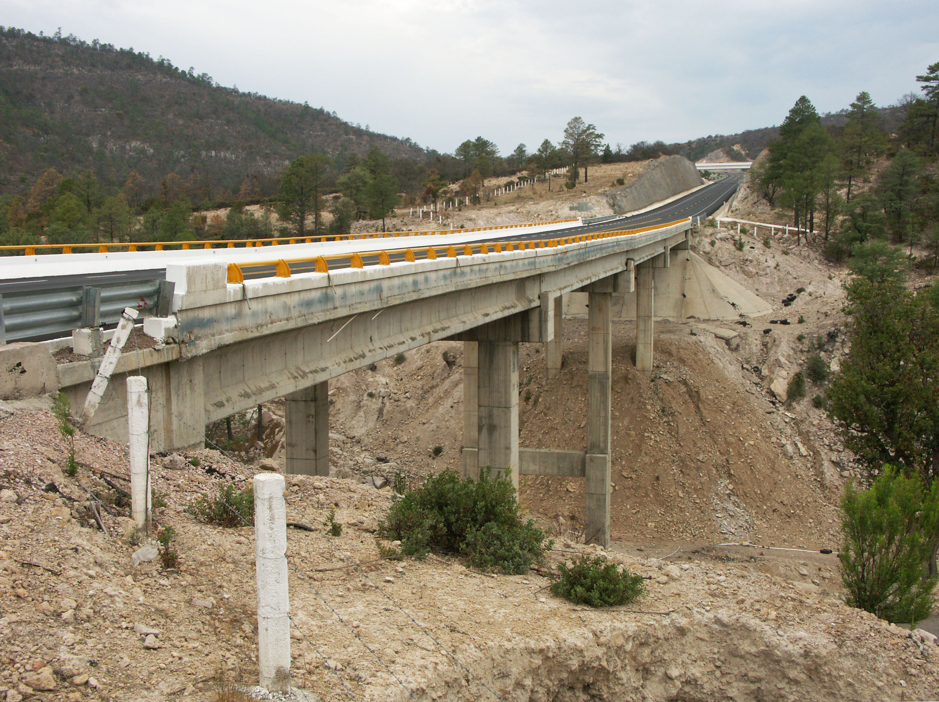
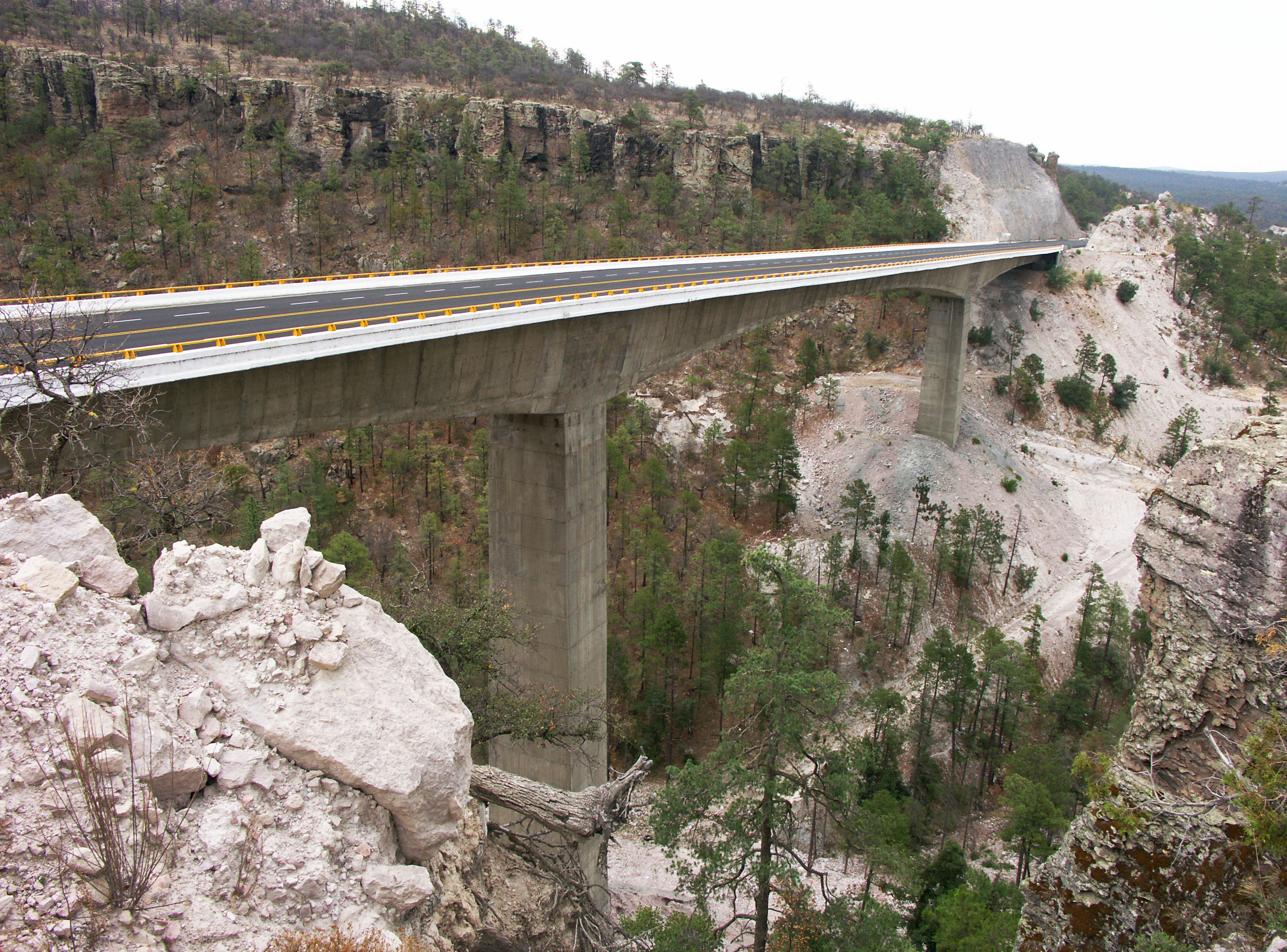
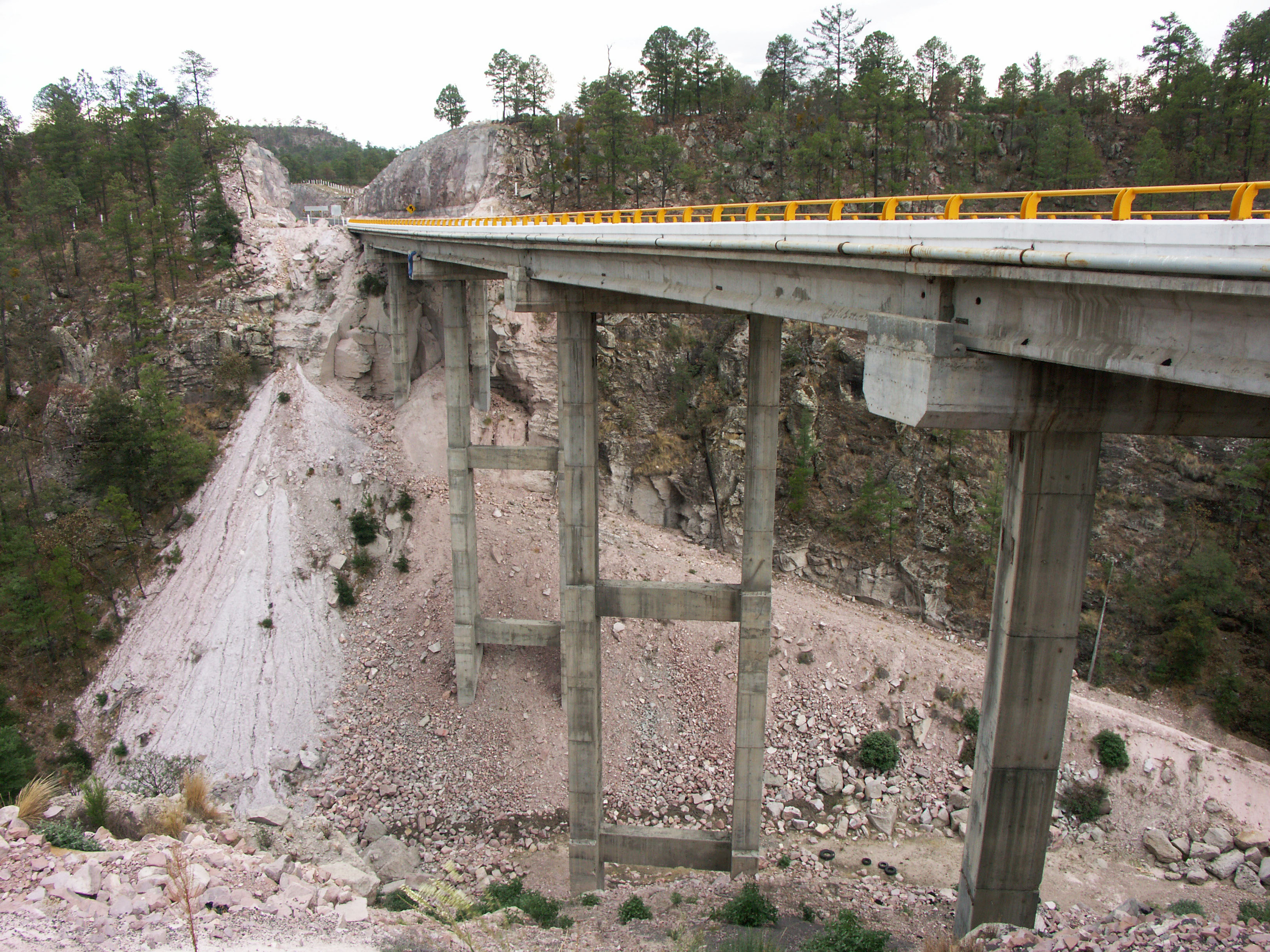
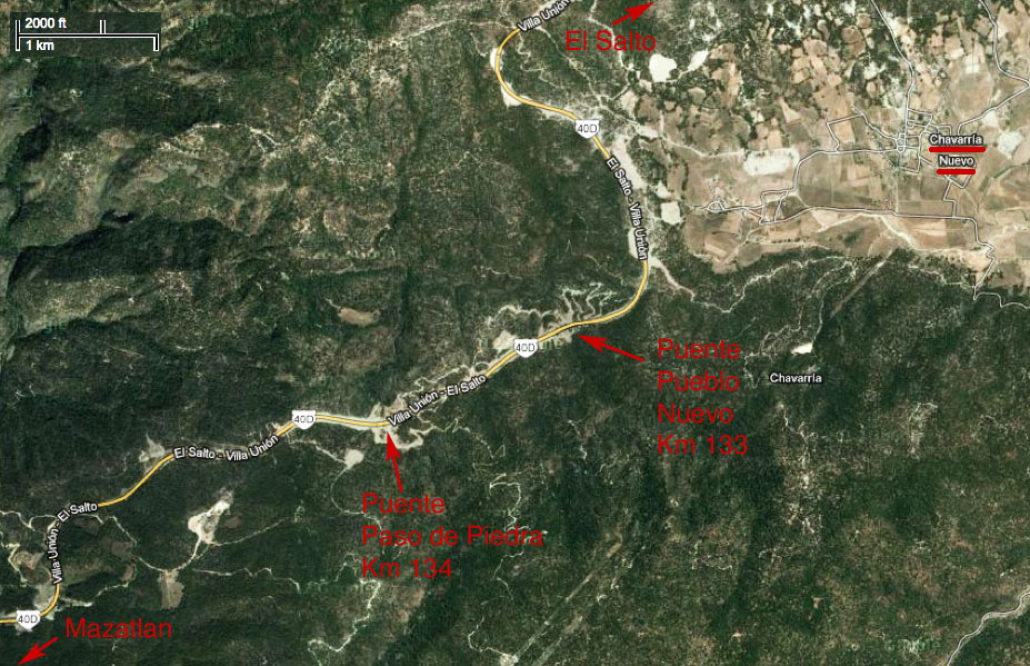
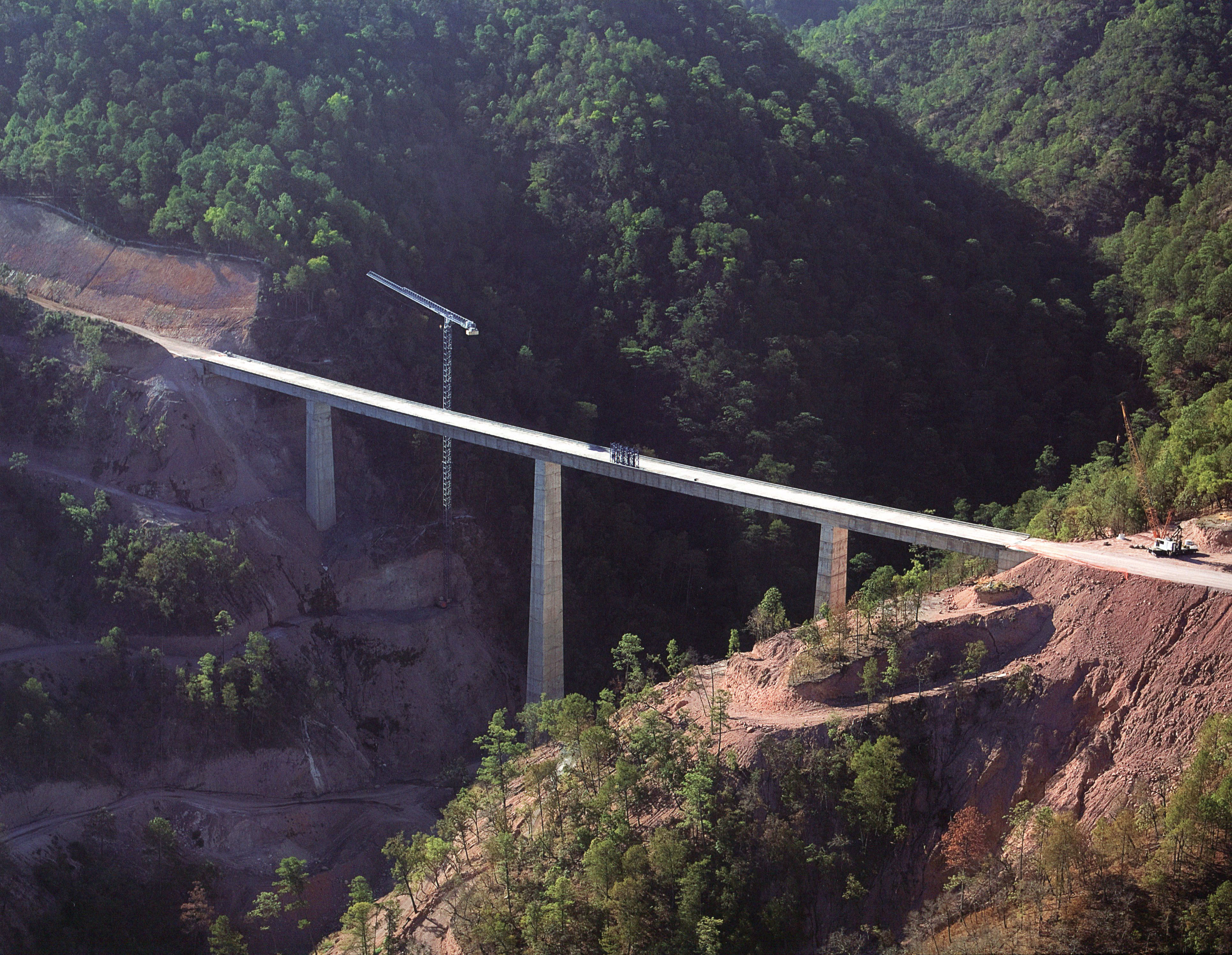
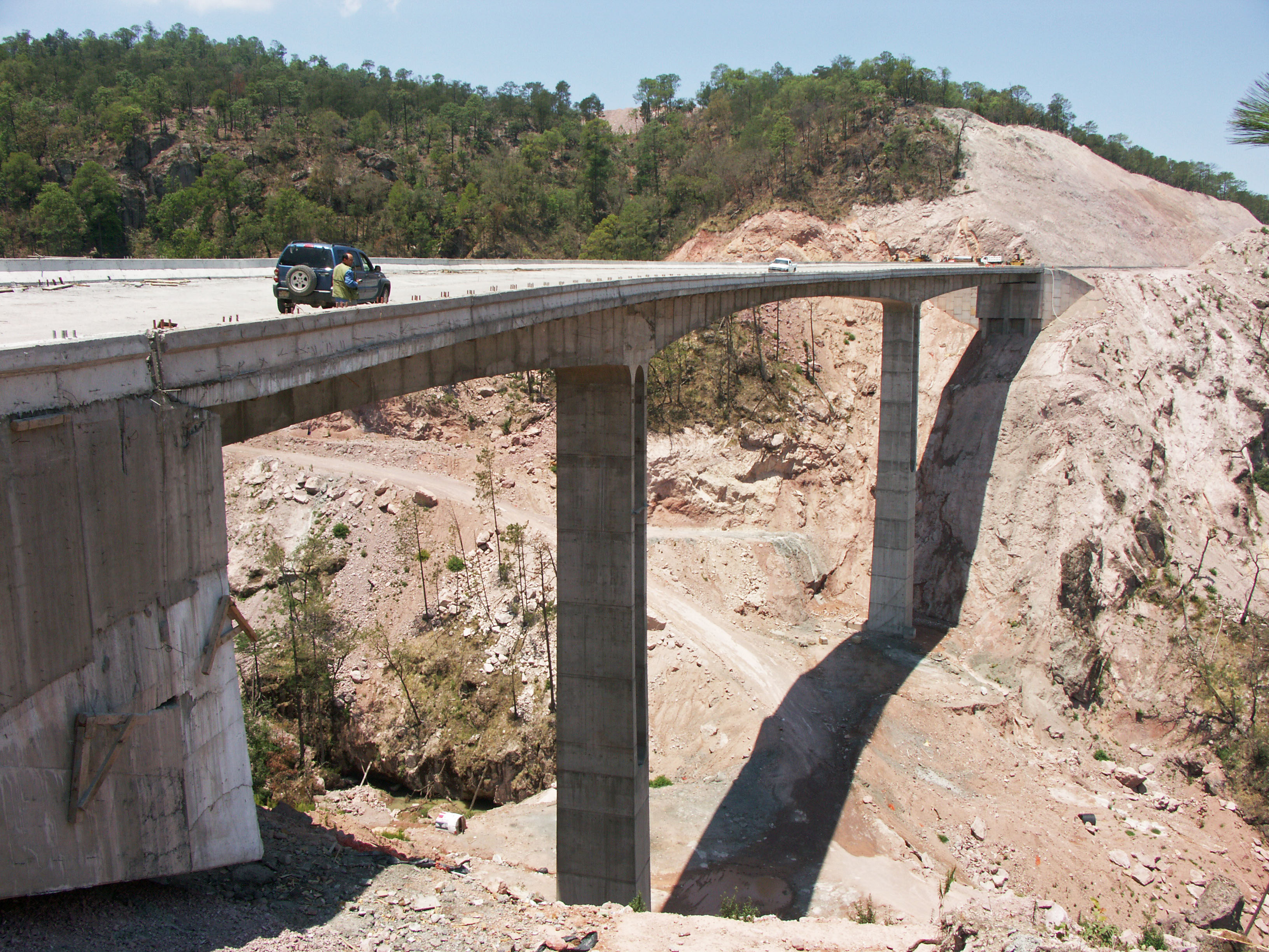
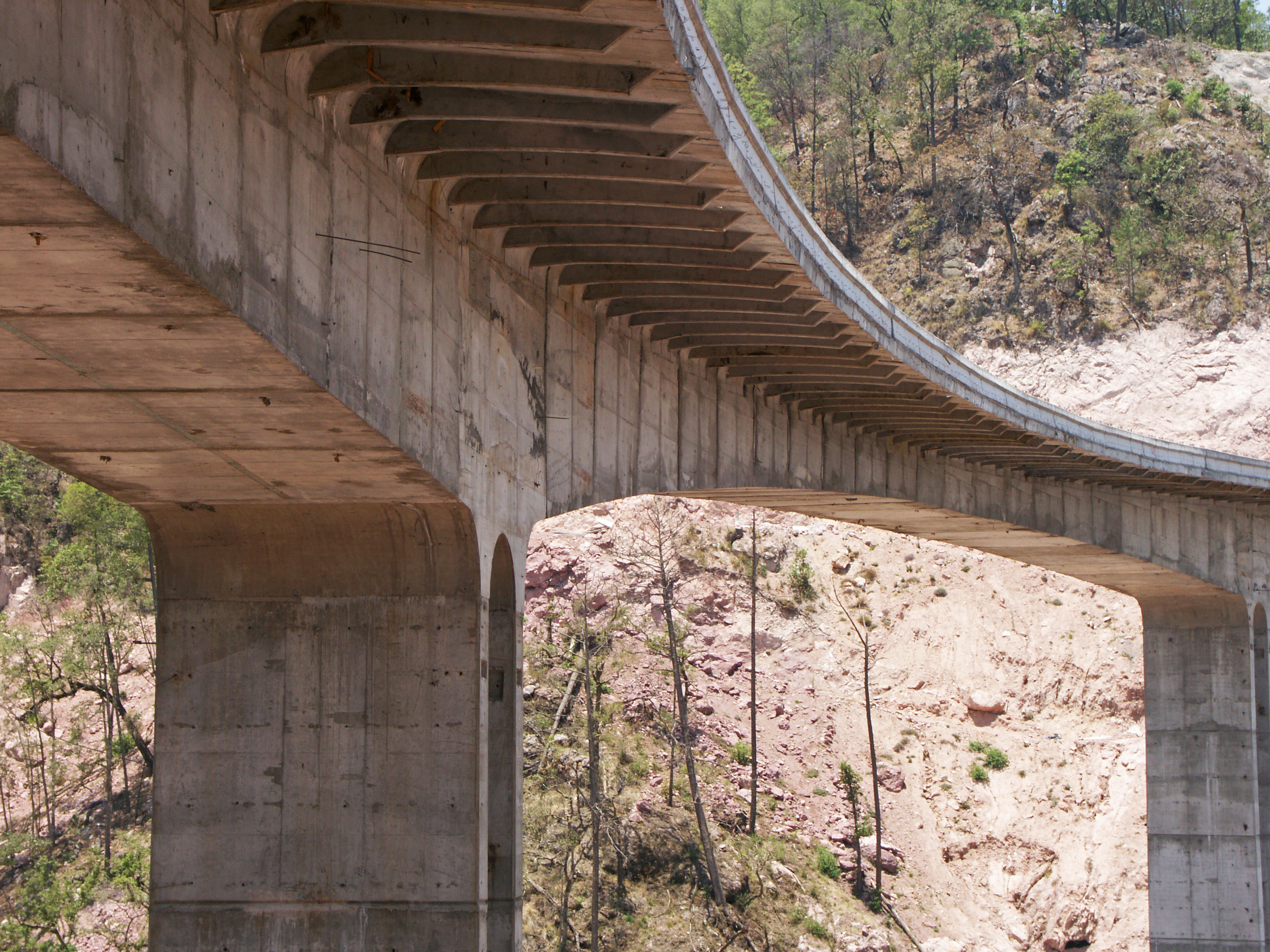
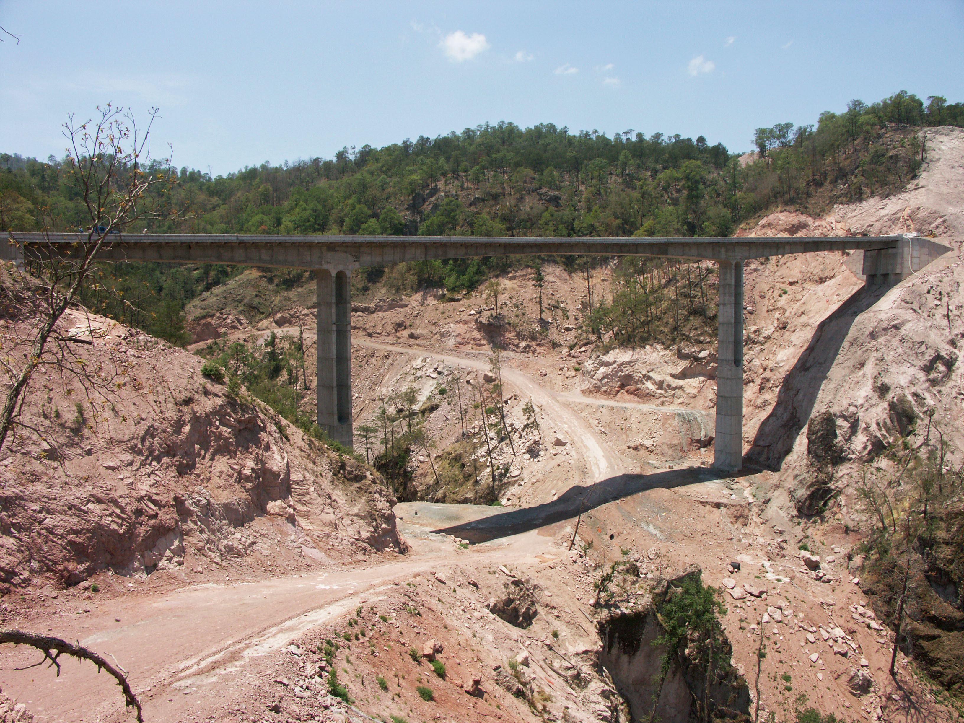
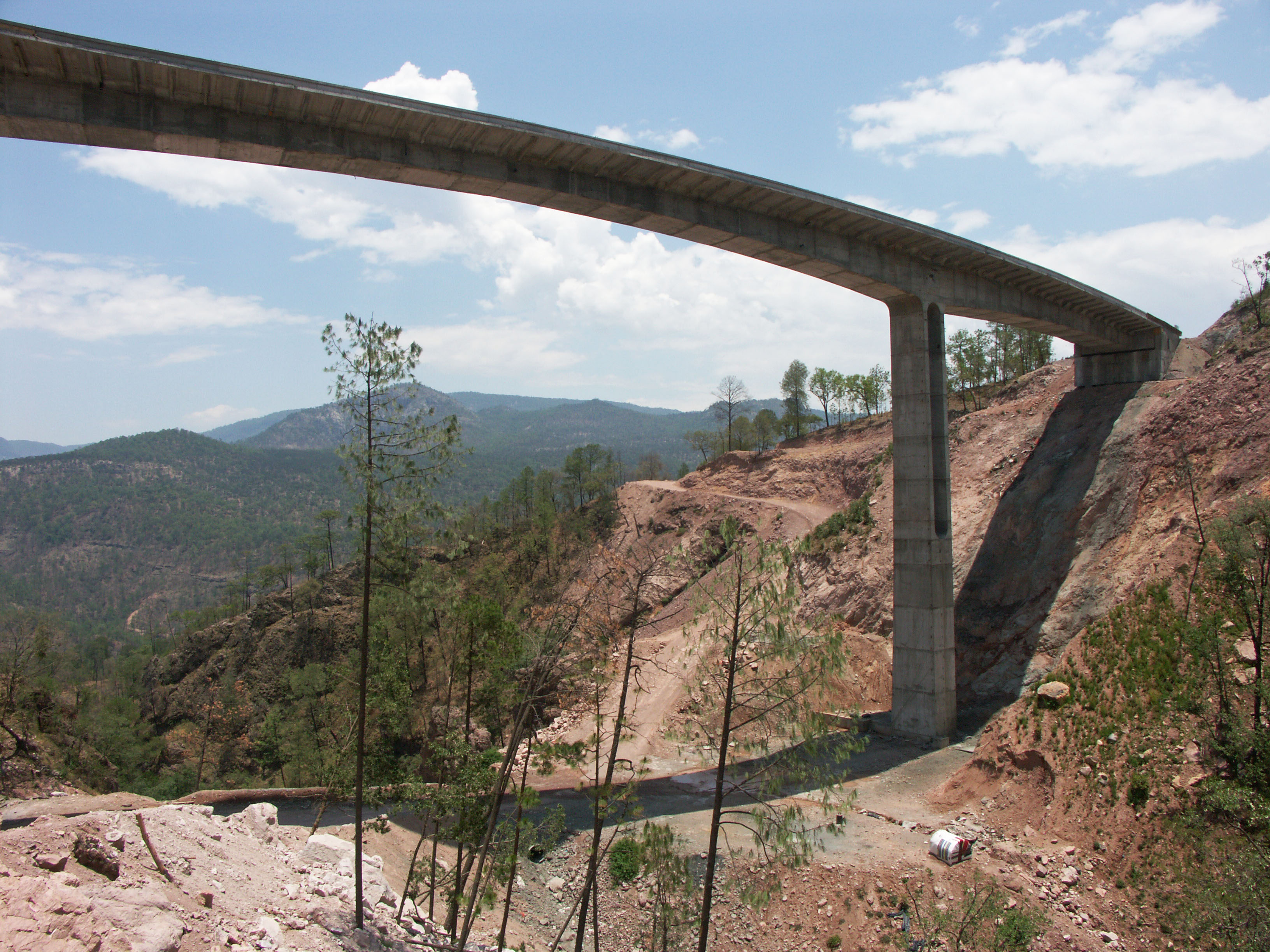
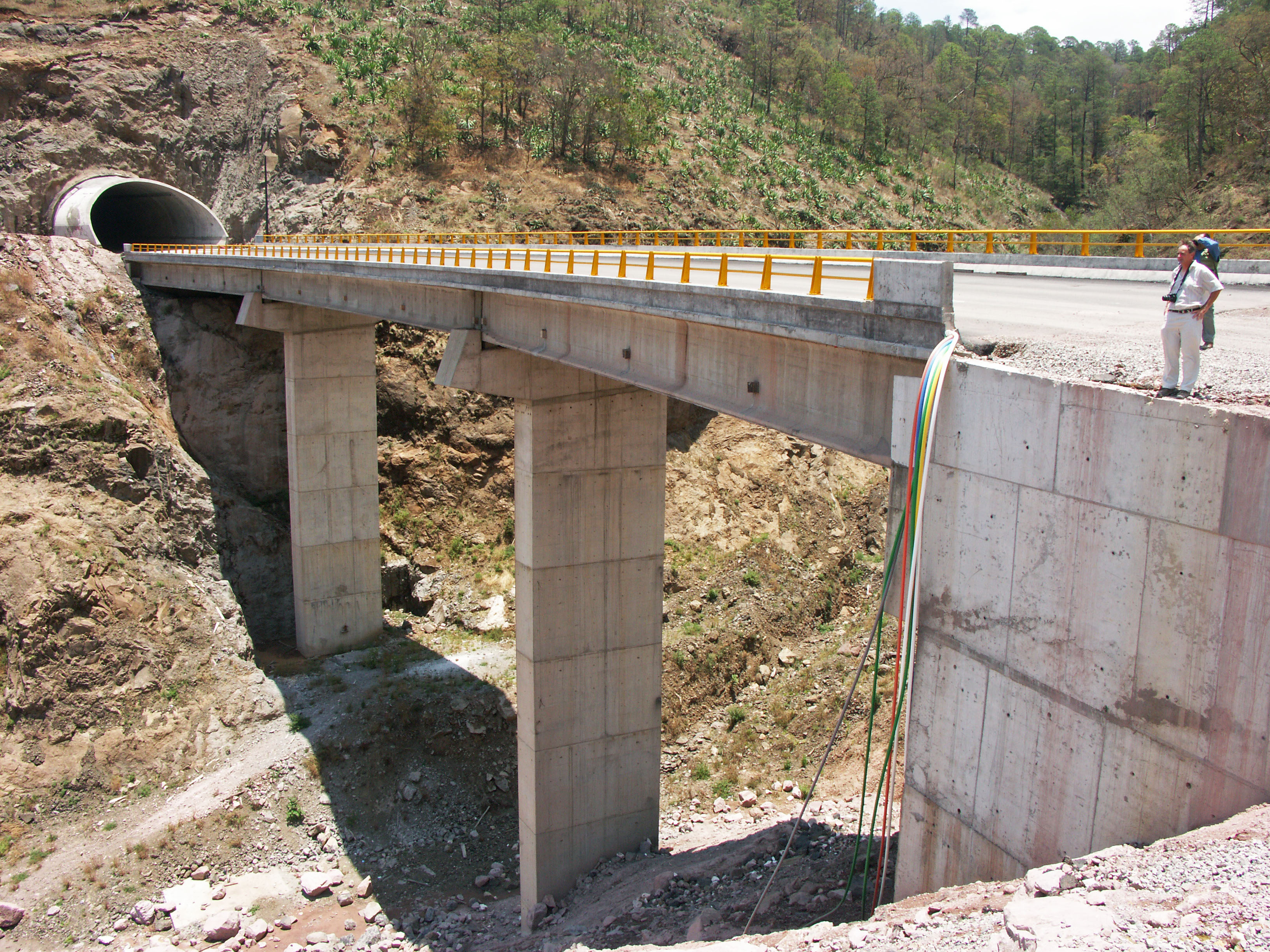
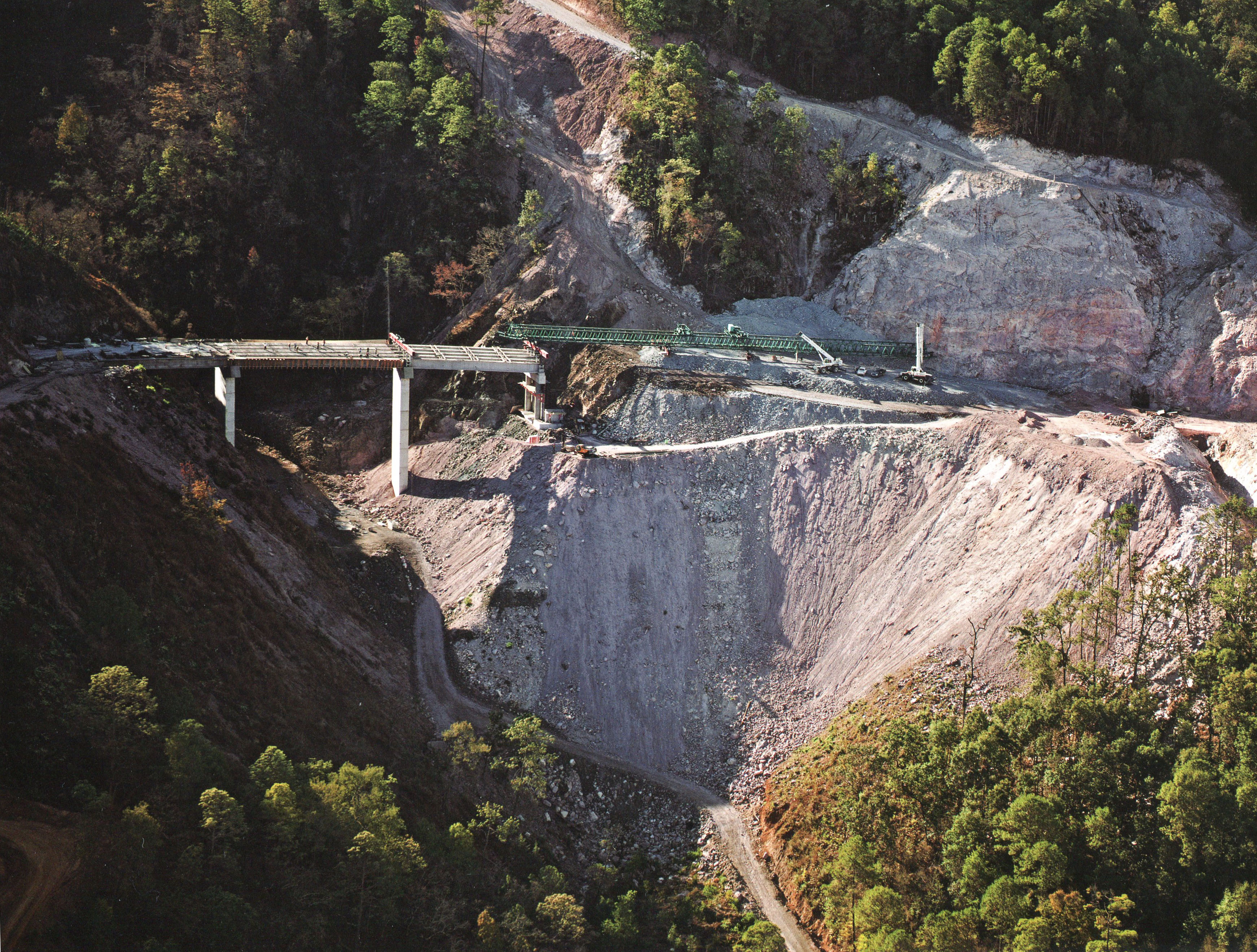
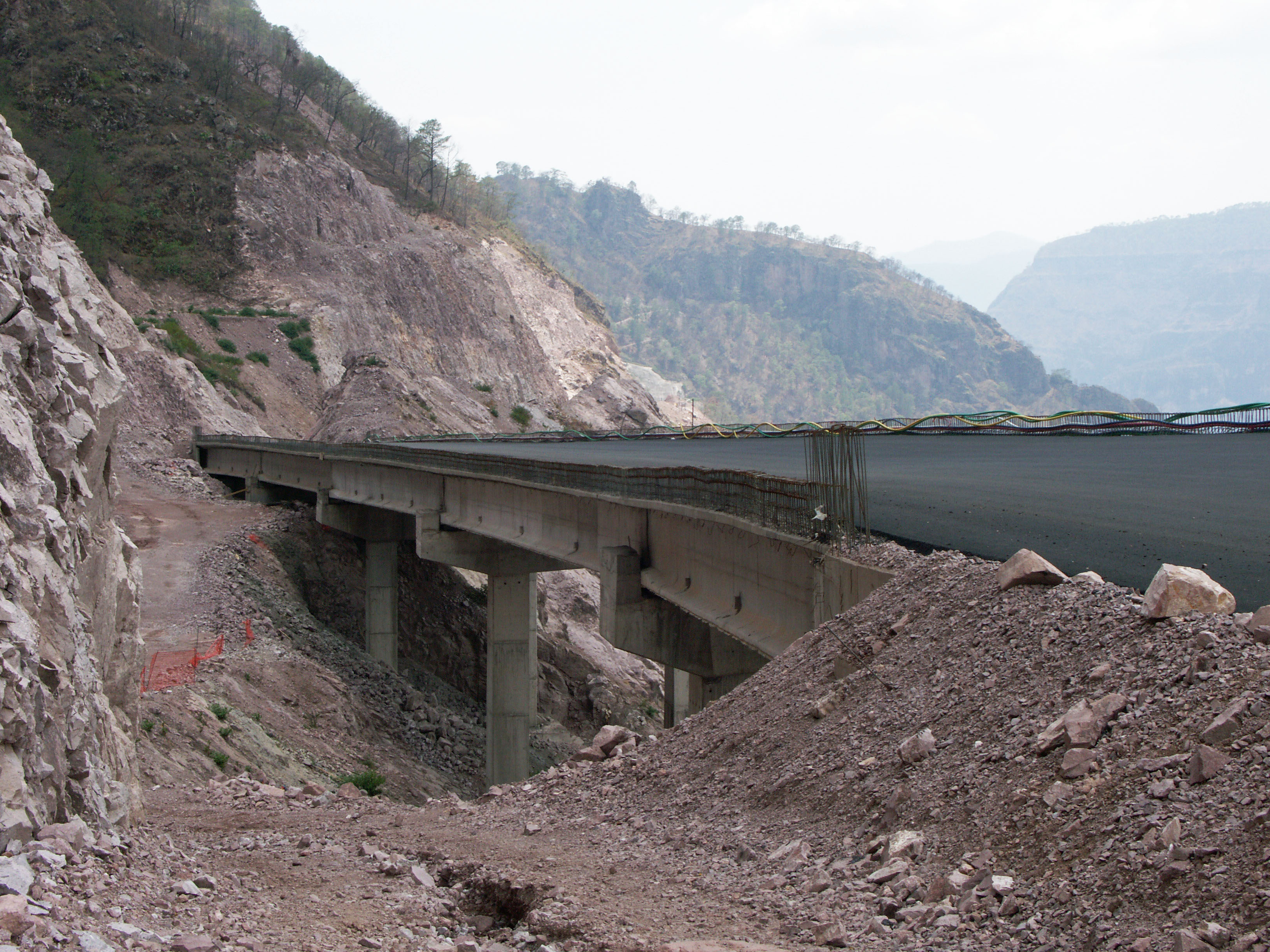
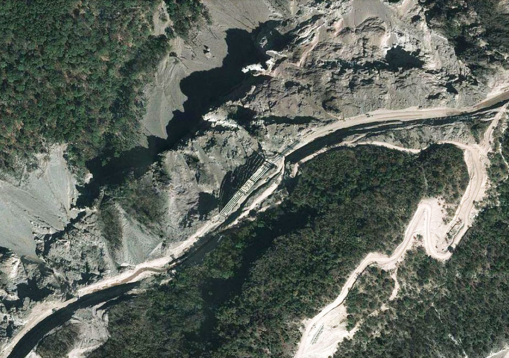
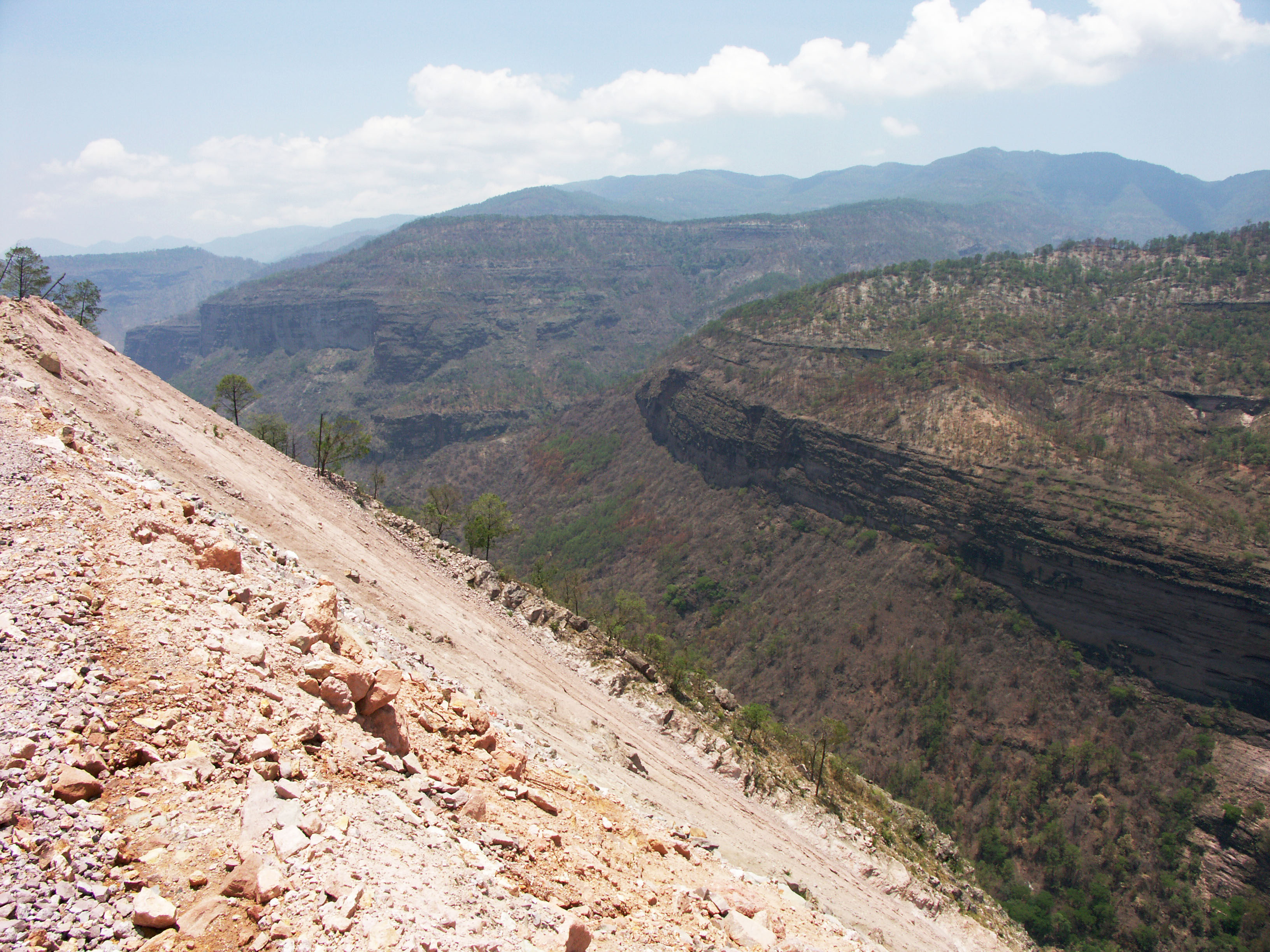
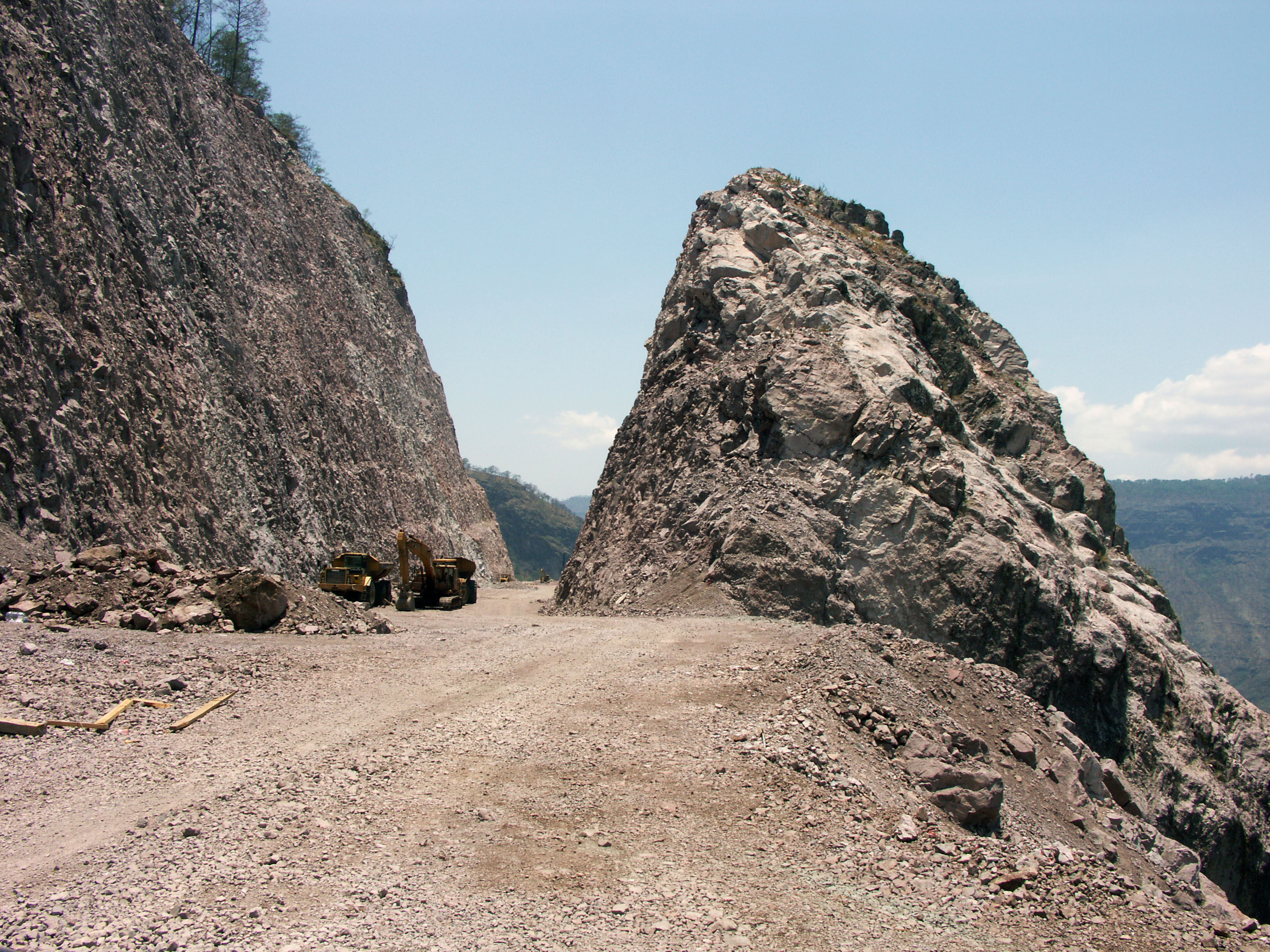
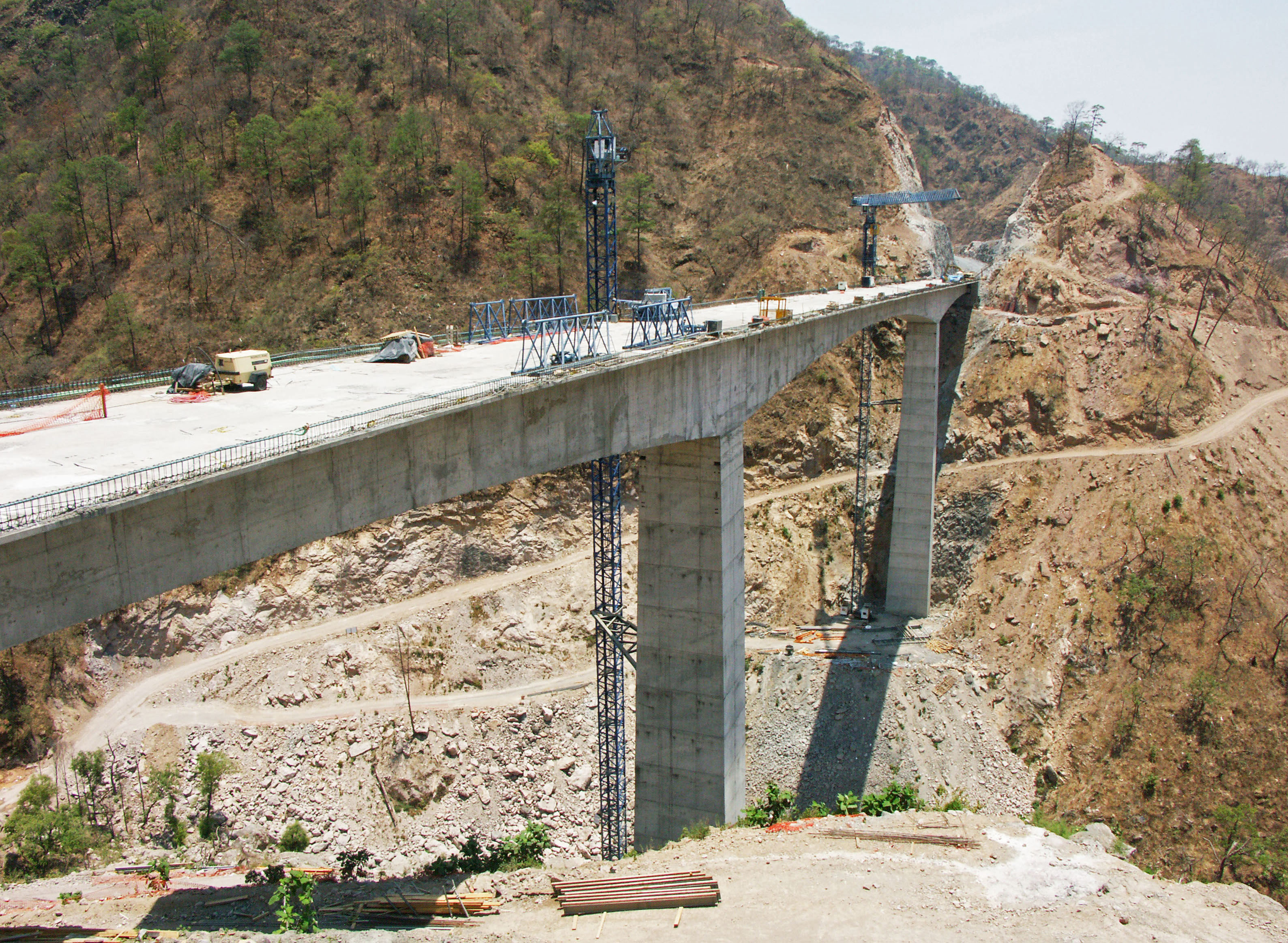
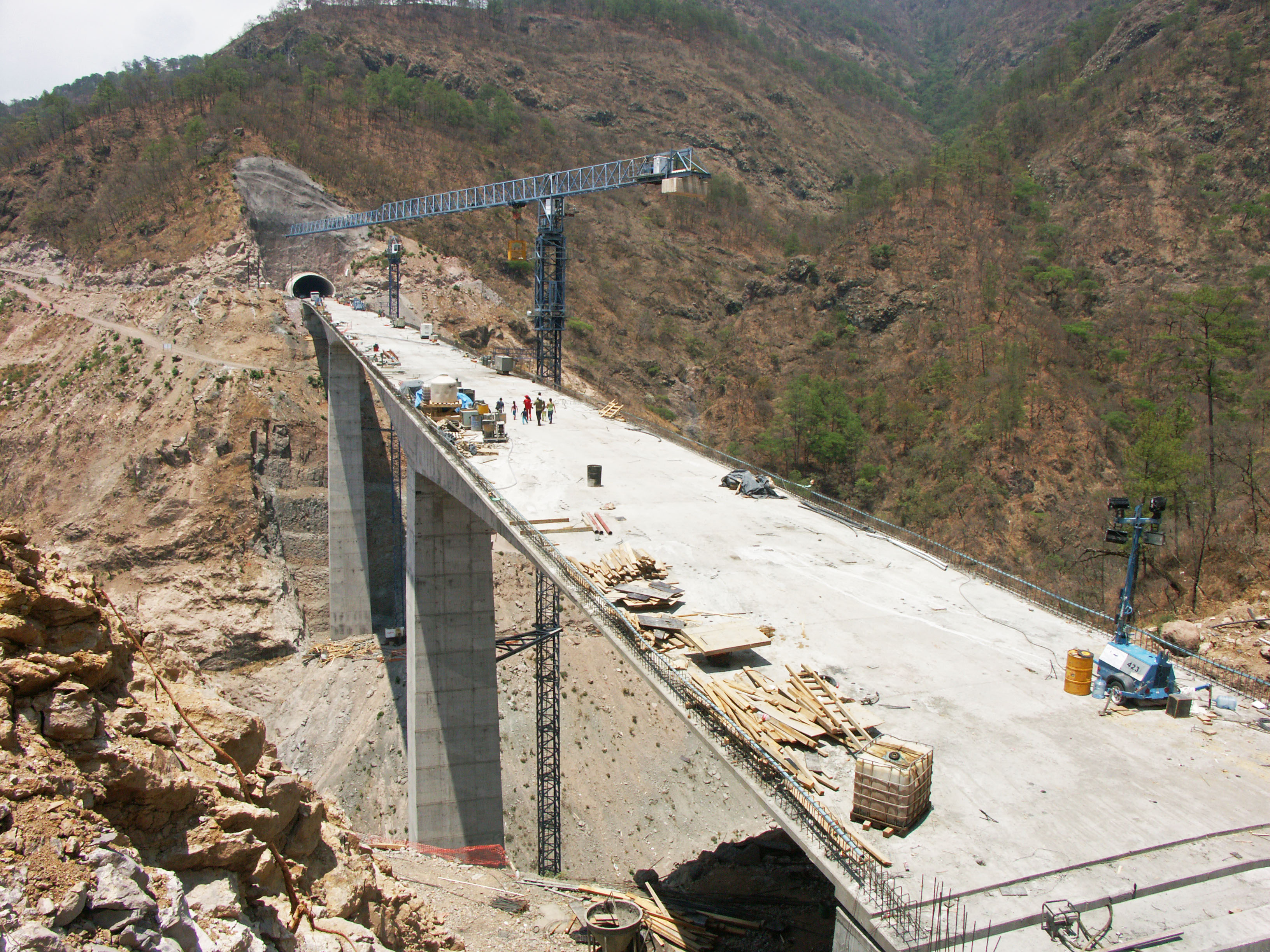
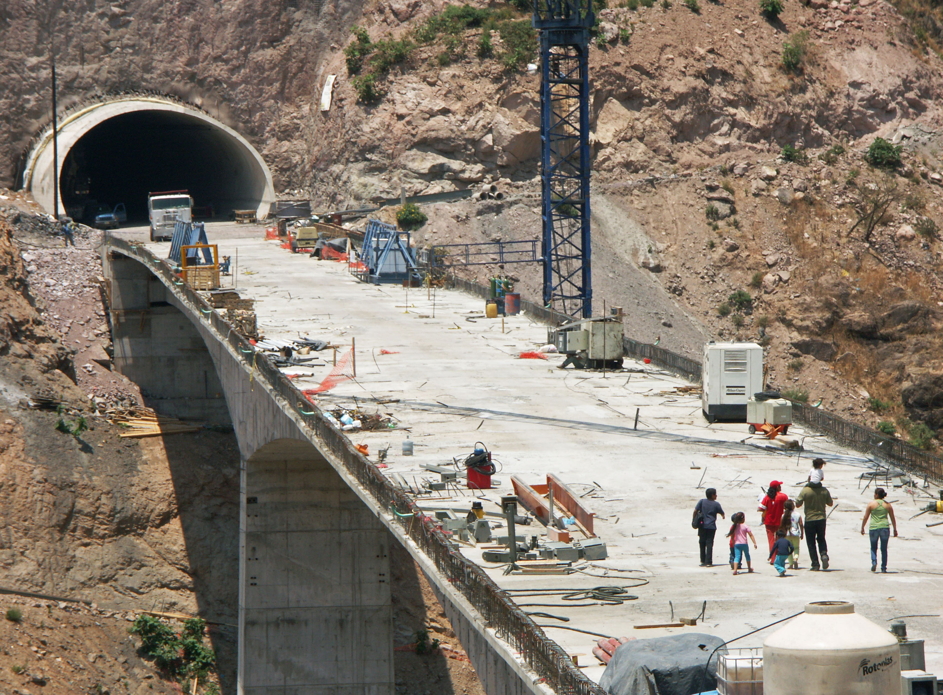
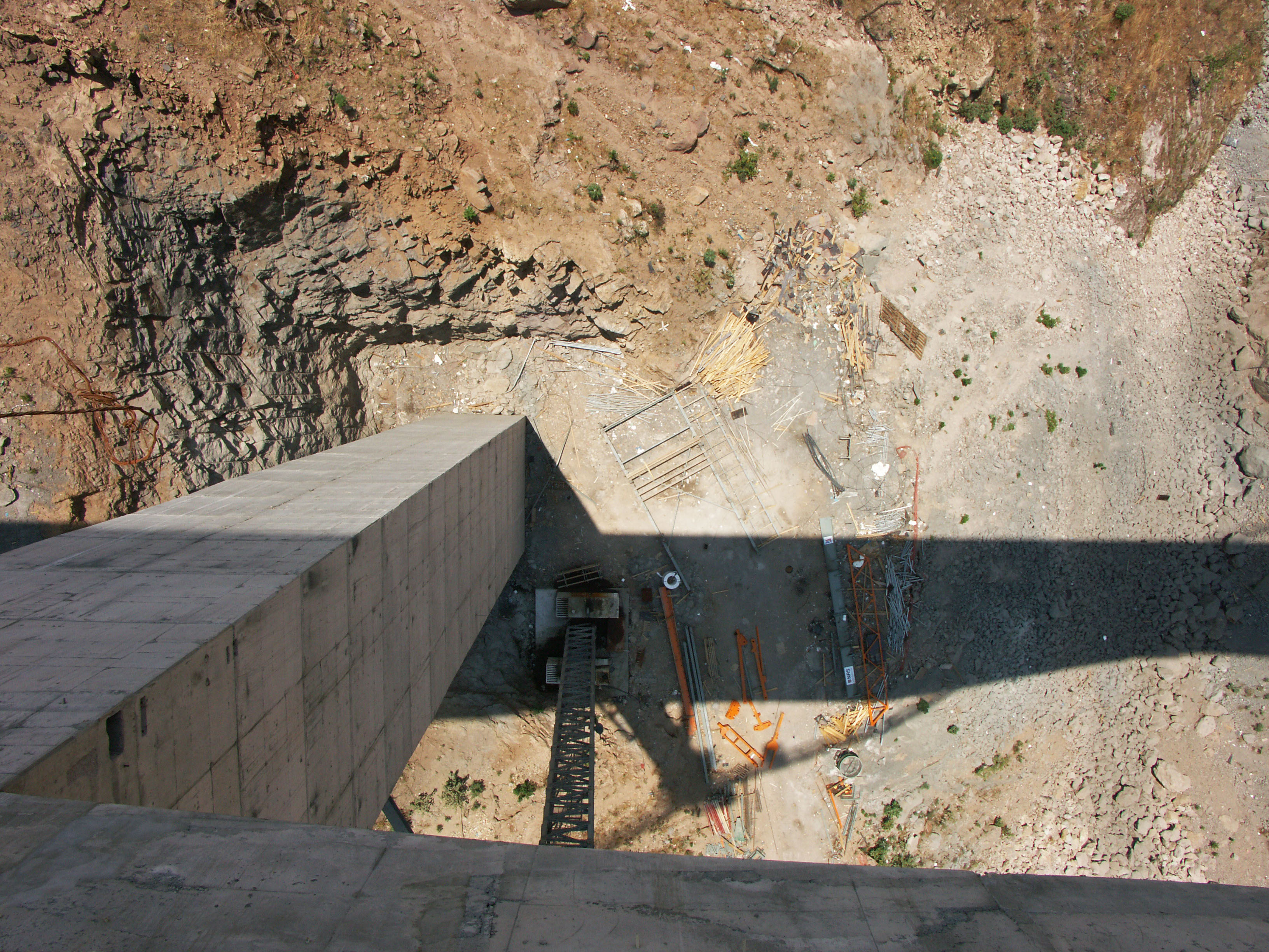
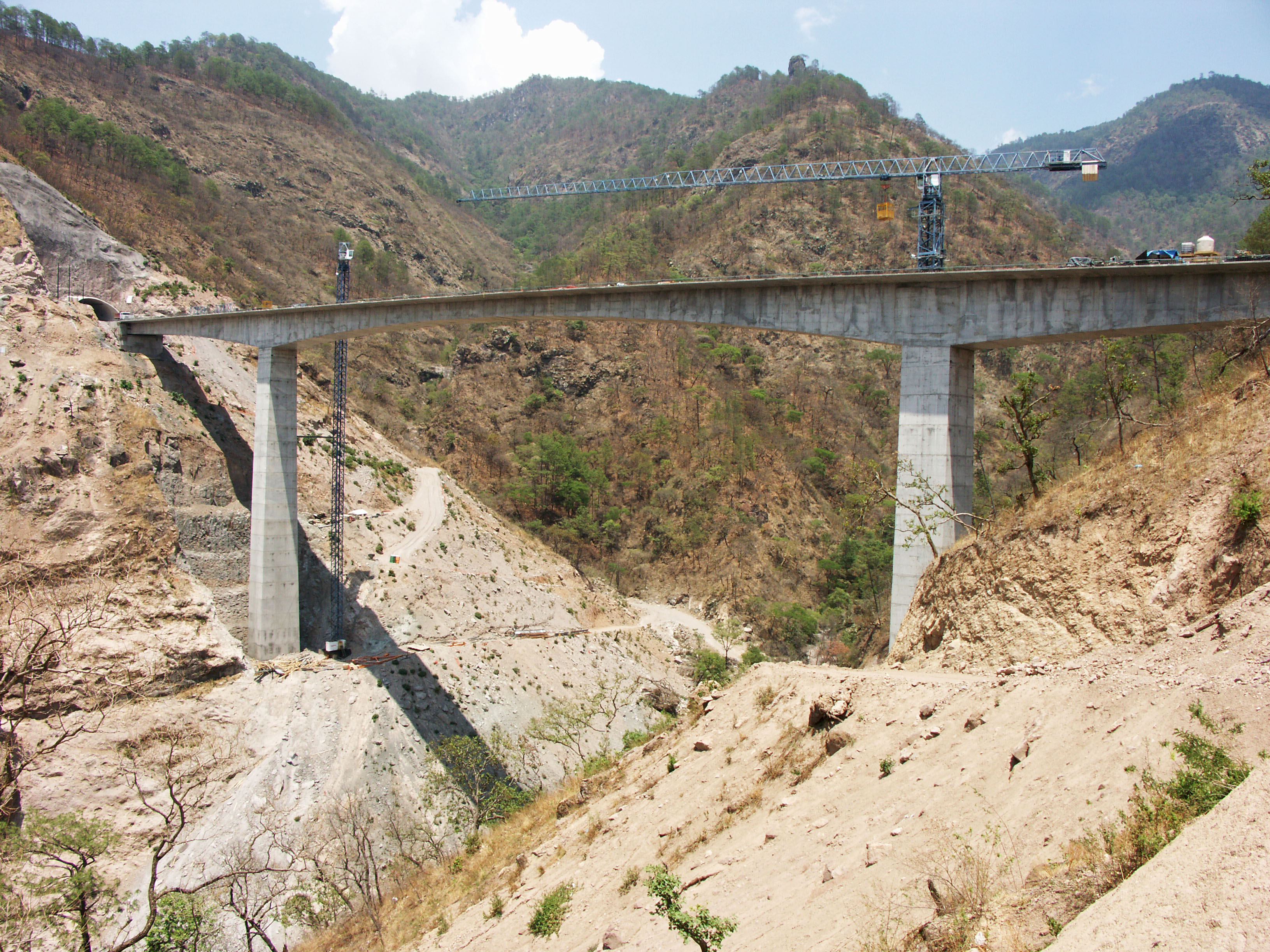
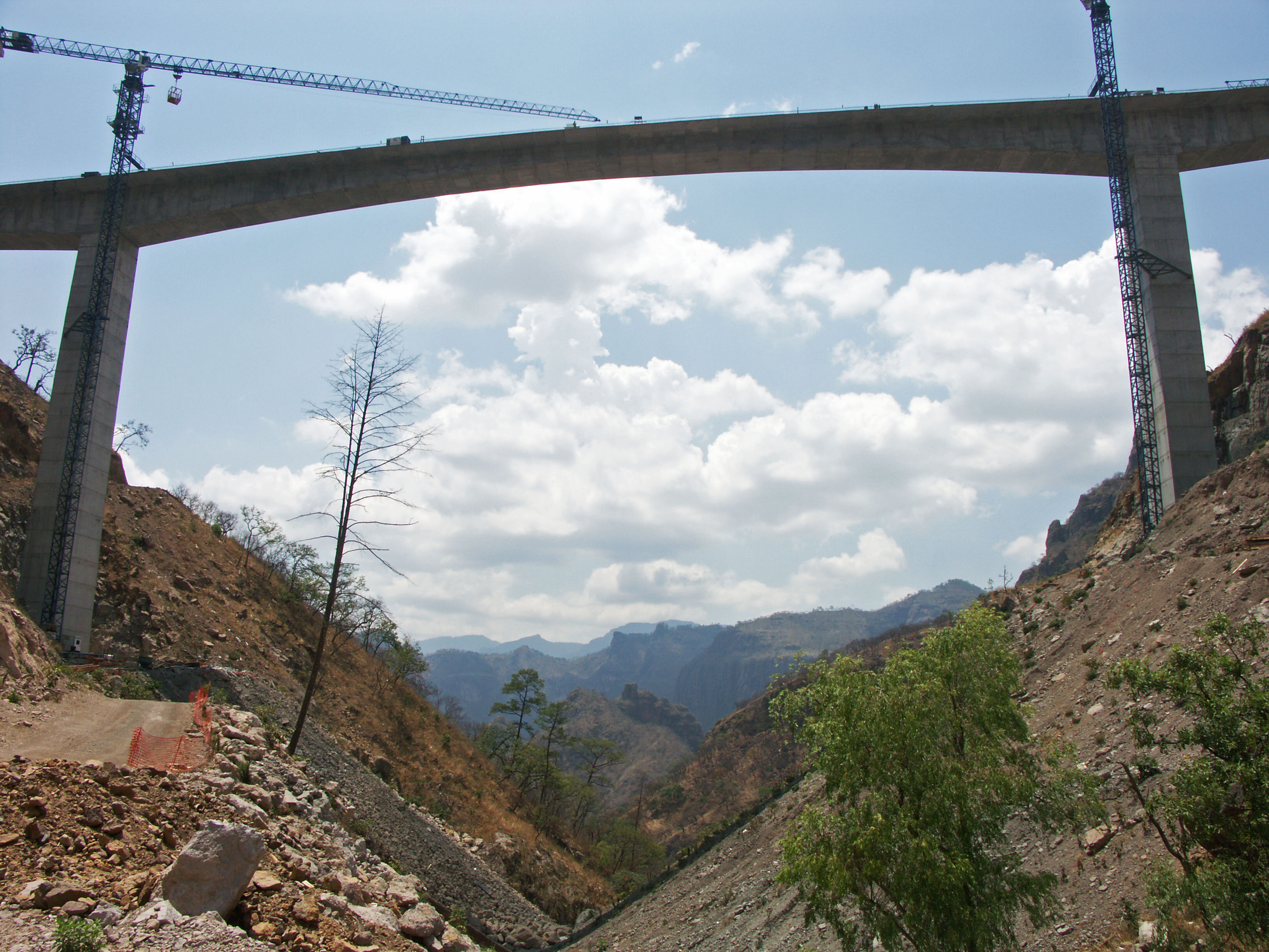
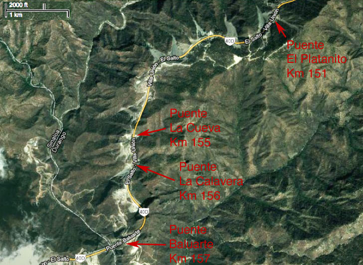
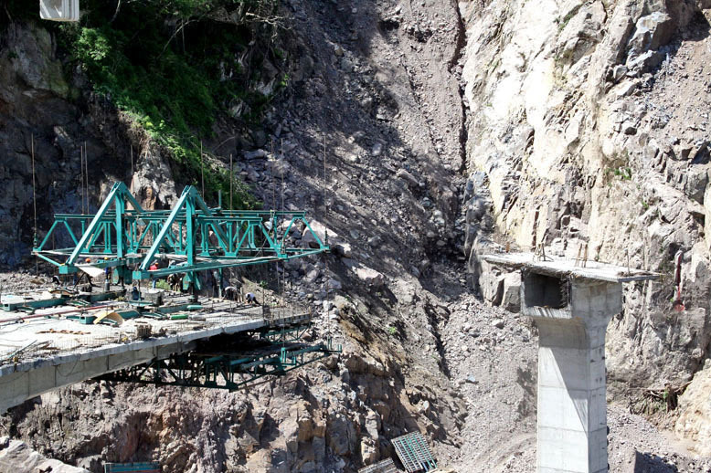
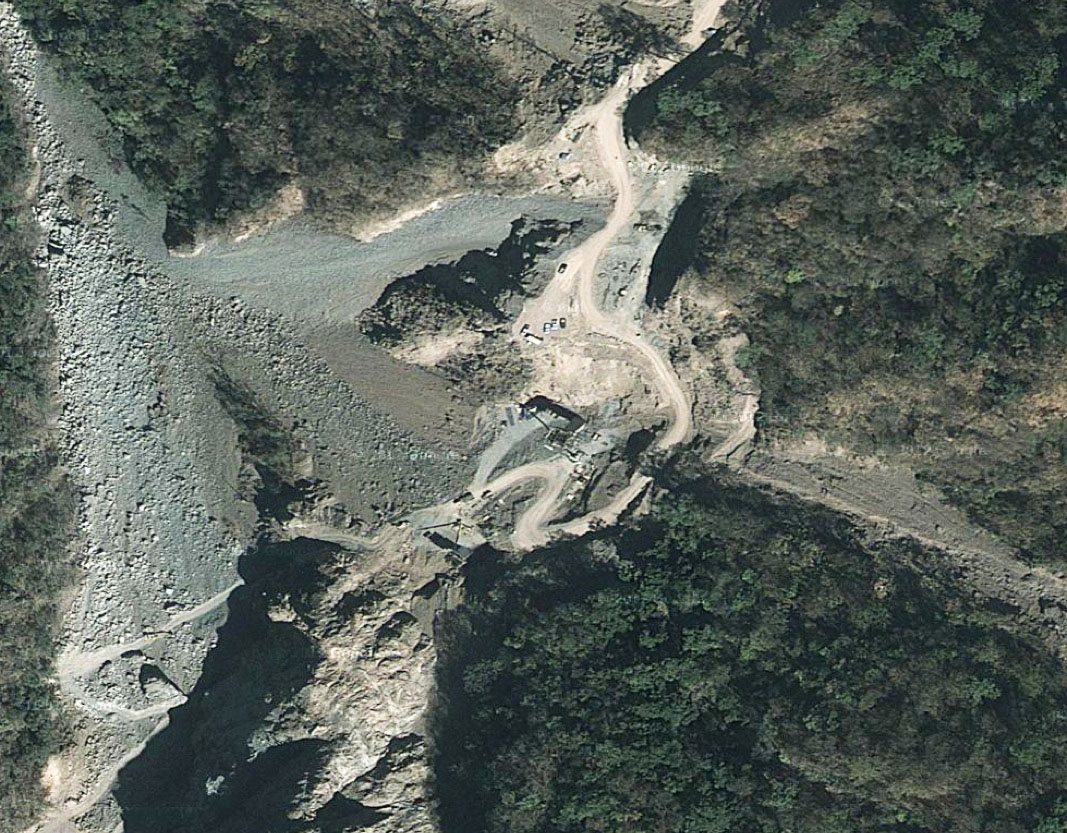
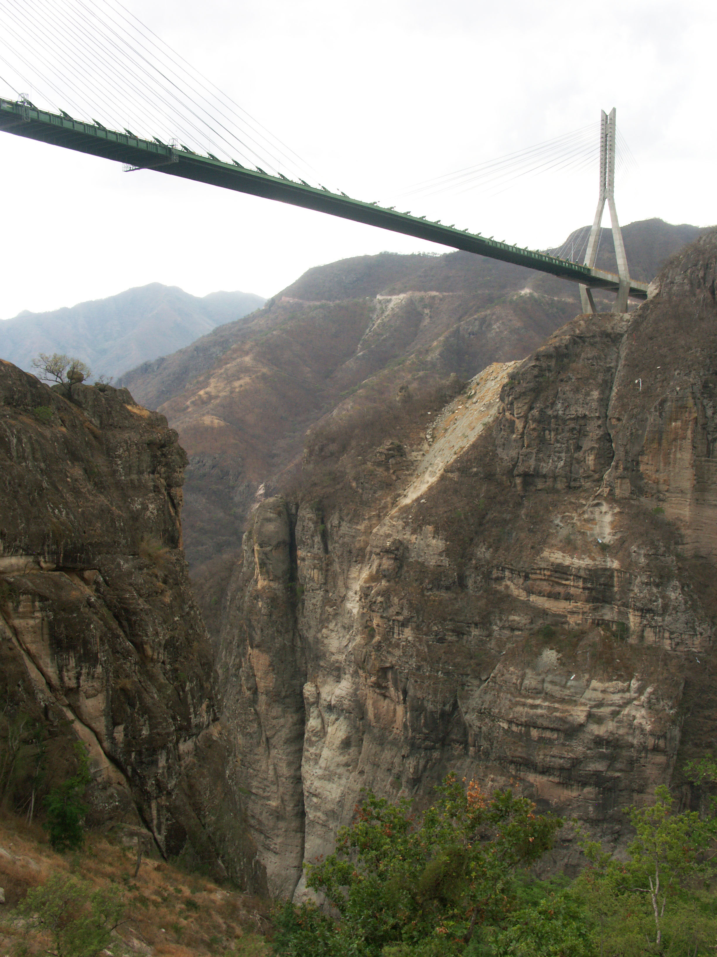
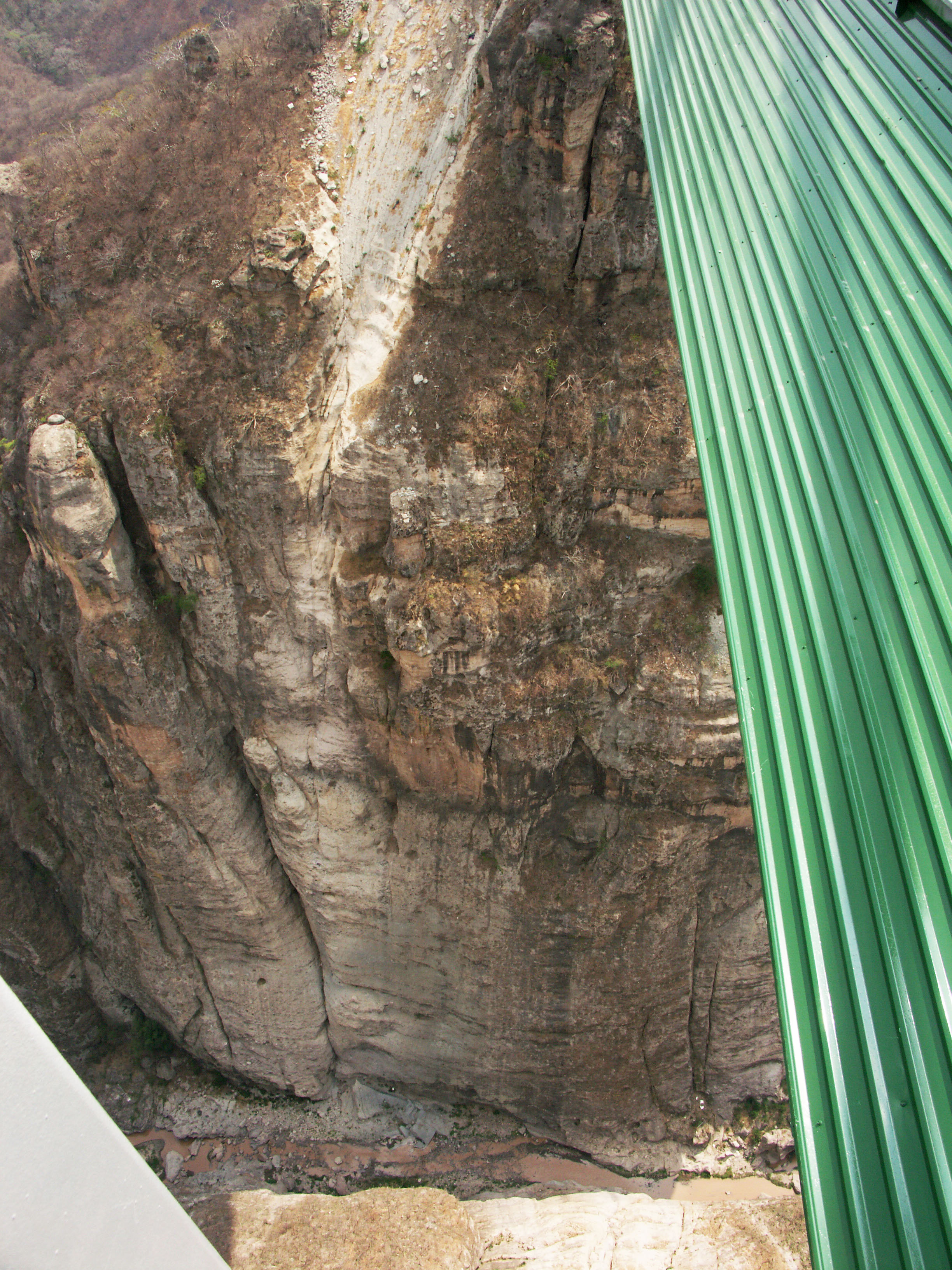
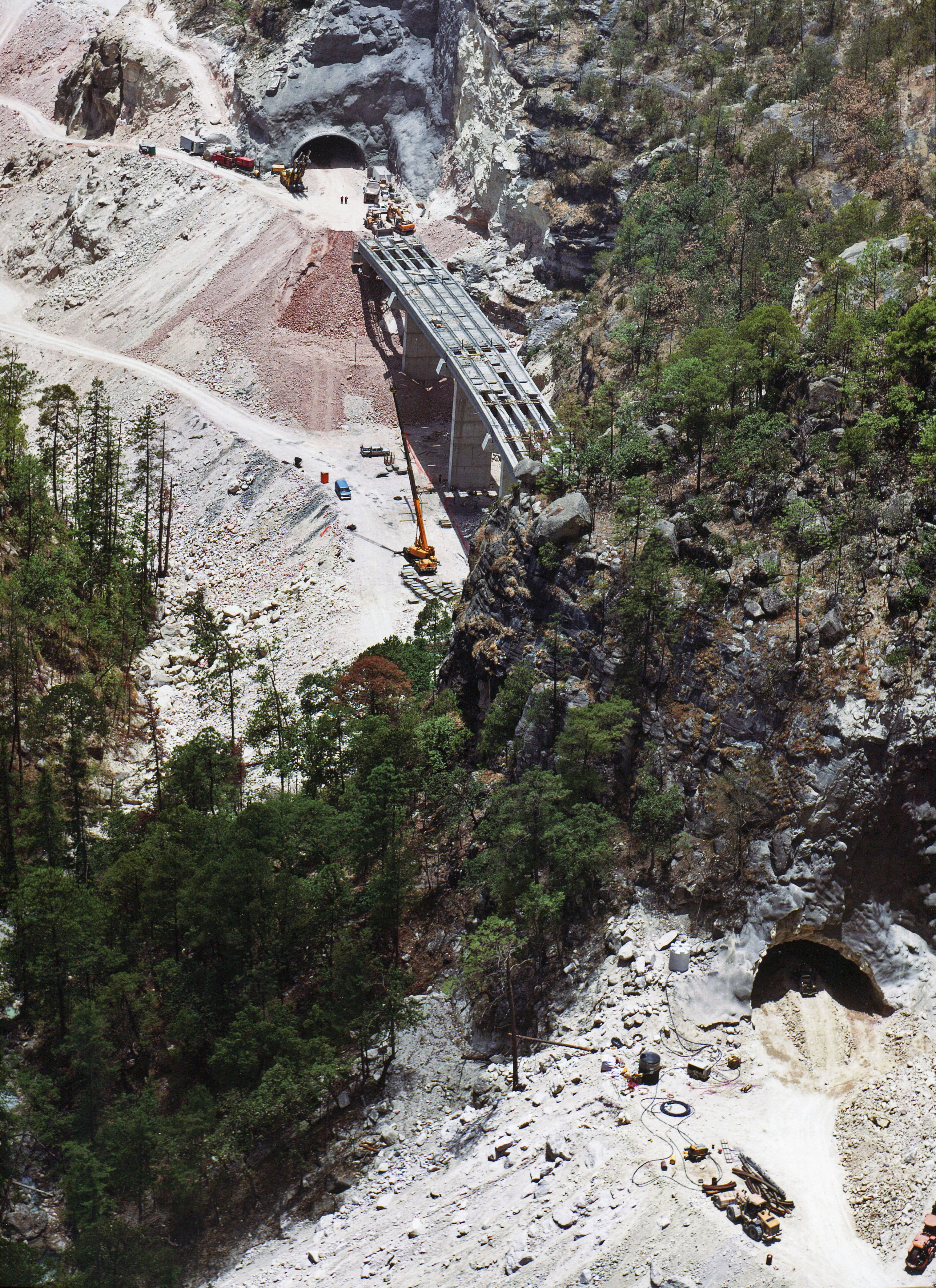
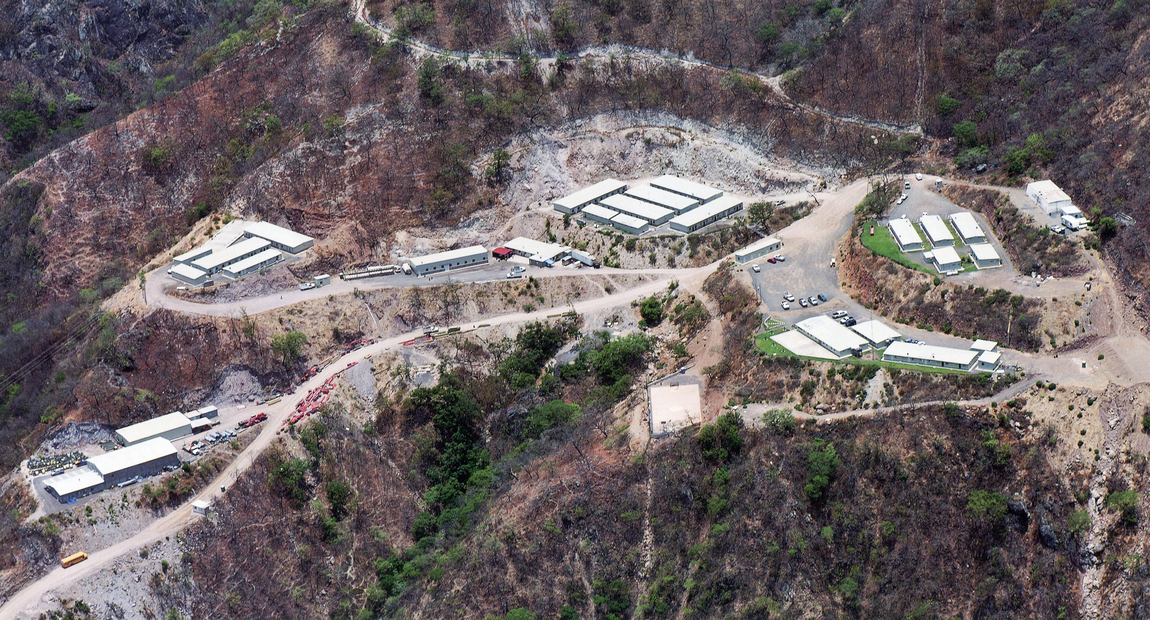
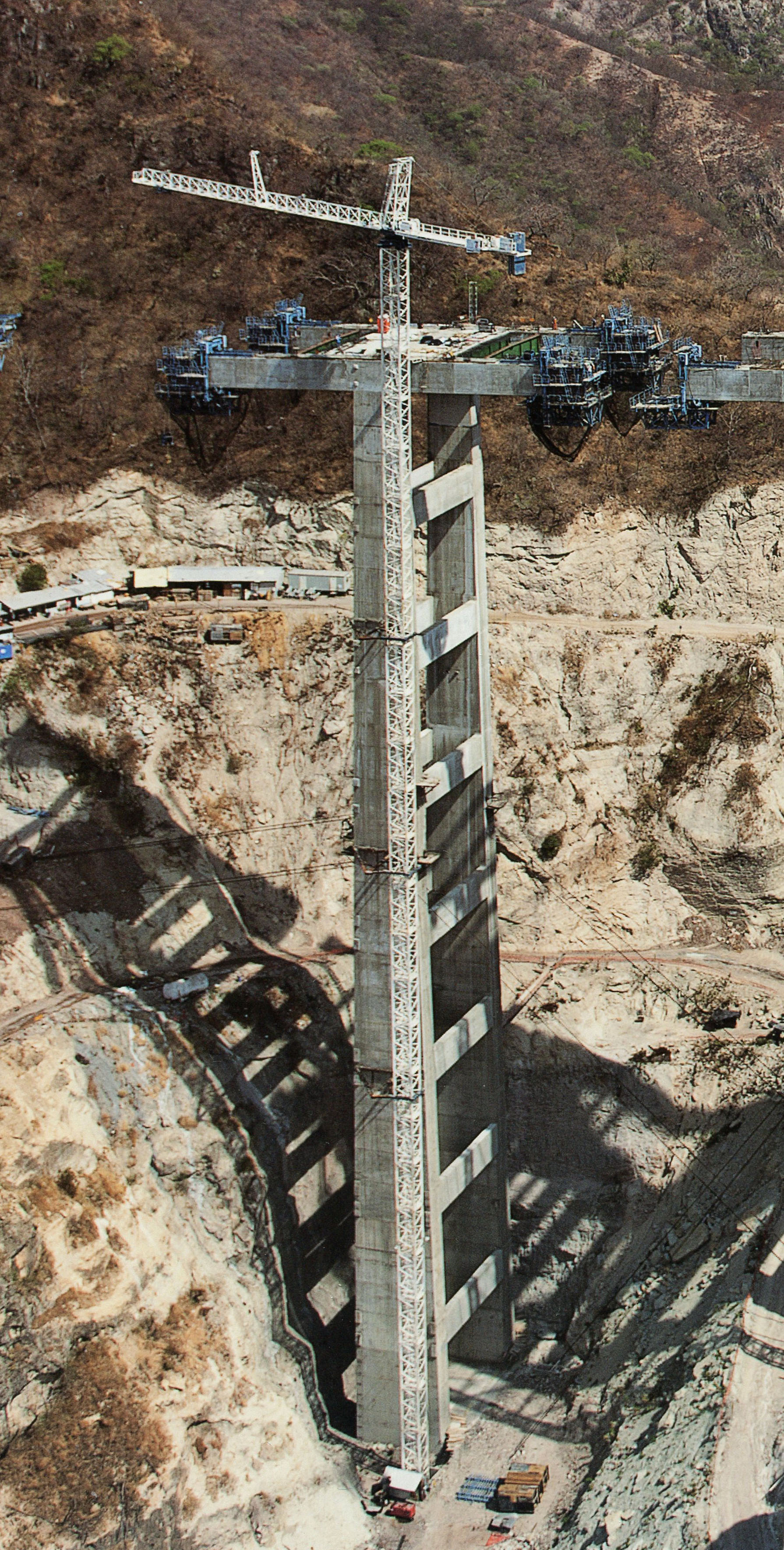
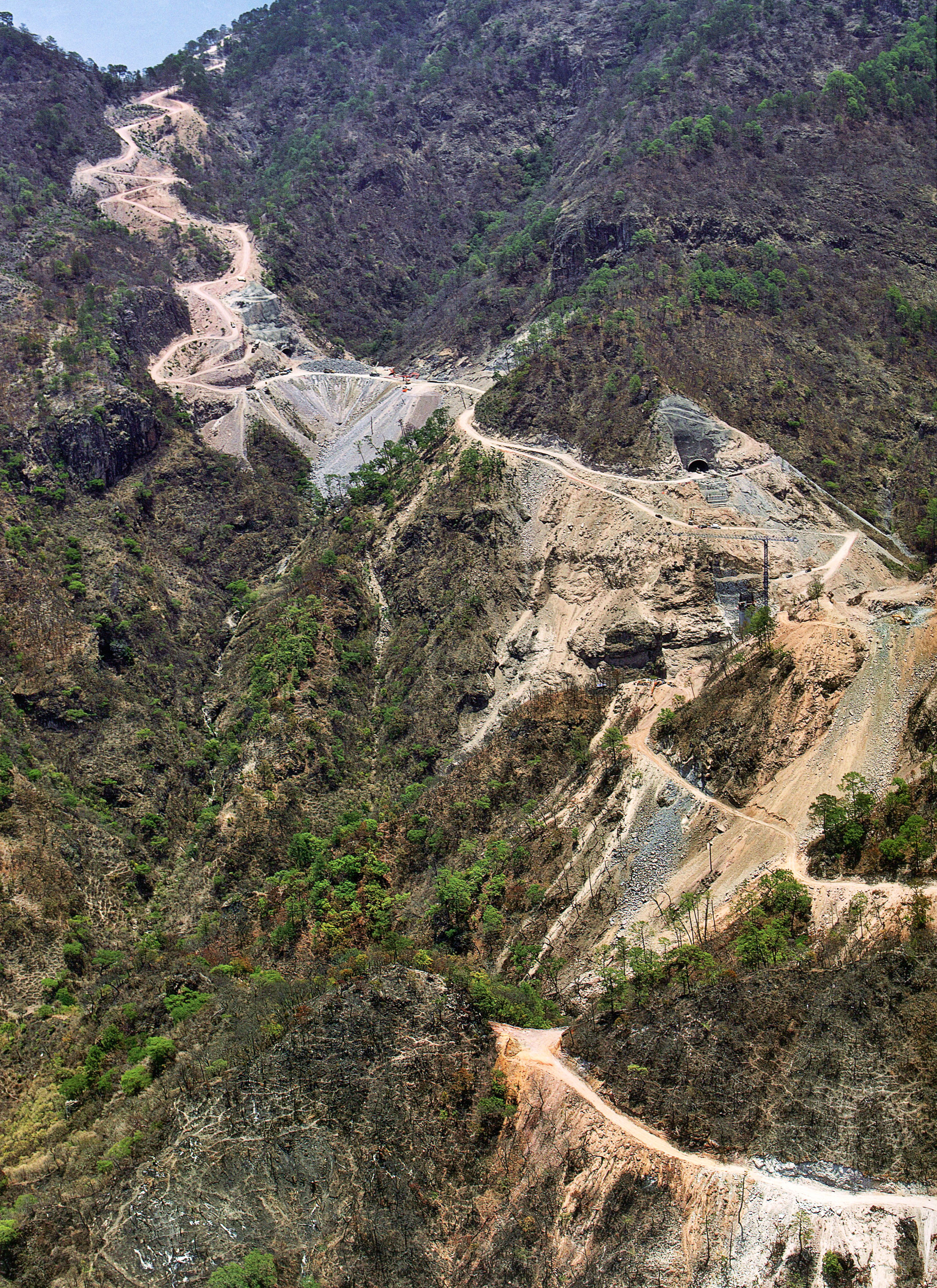
The following is a select group of images taken during a June, 2012 visit to the central portion of the Durango-Mazatlán highway as well as images from the SCT. This construction tour focused on approximately 25 of the largest bridges on the highway with a special emphasis on the spans of the central 94 kilometers between El Salto and Concordia that will finally be open to traffic in the summer of 2013.
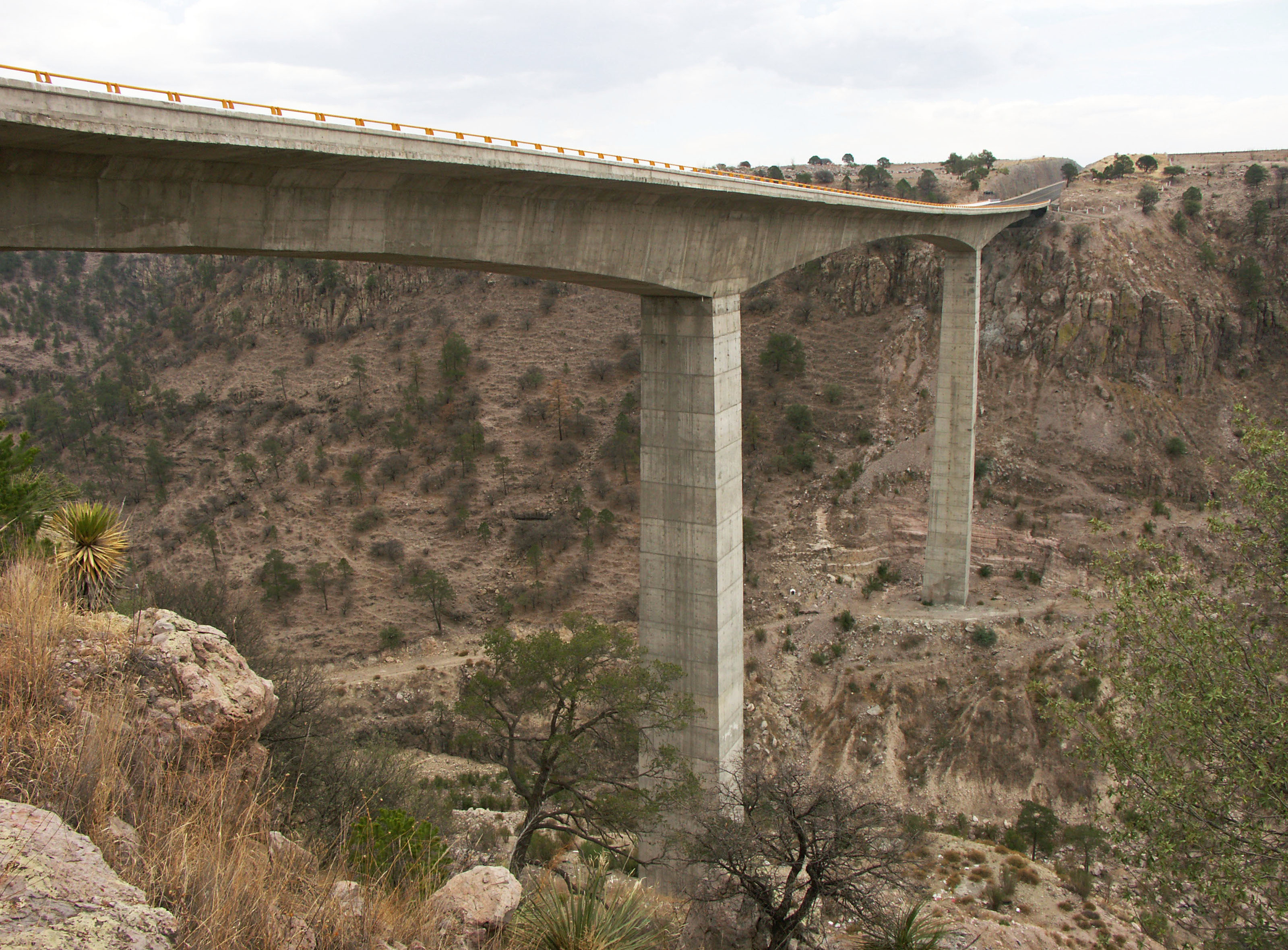
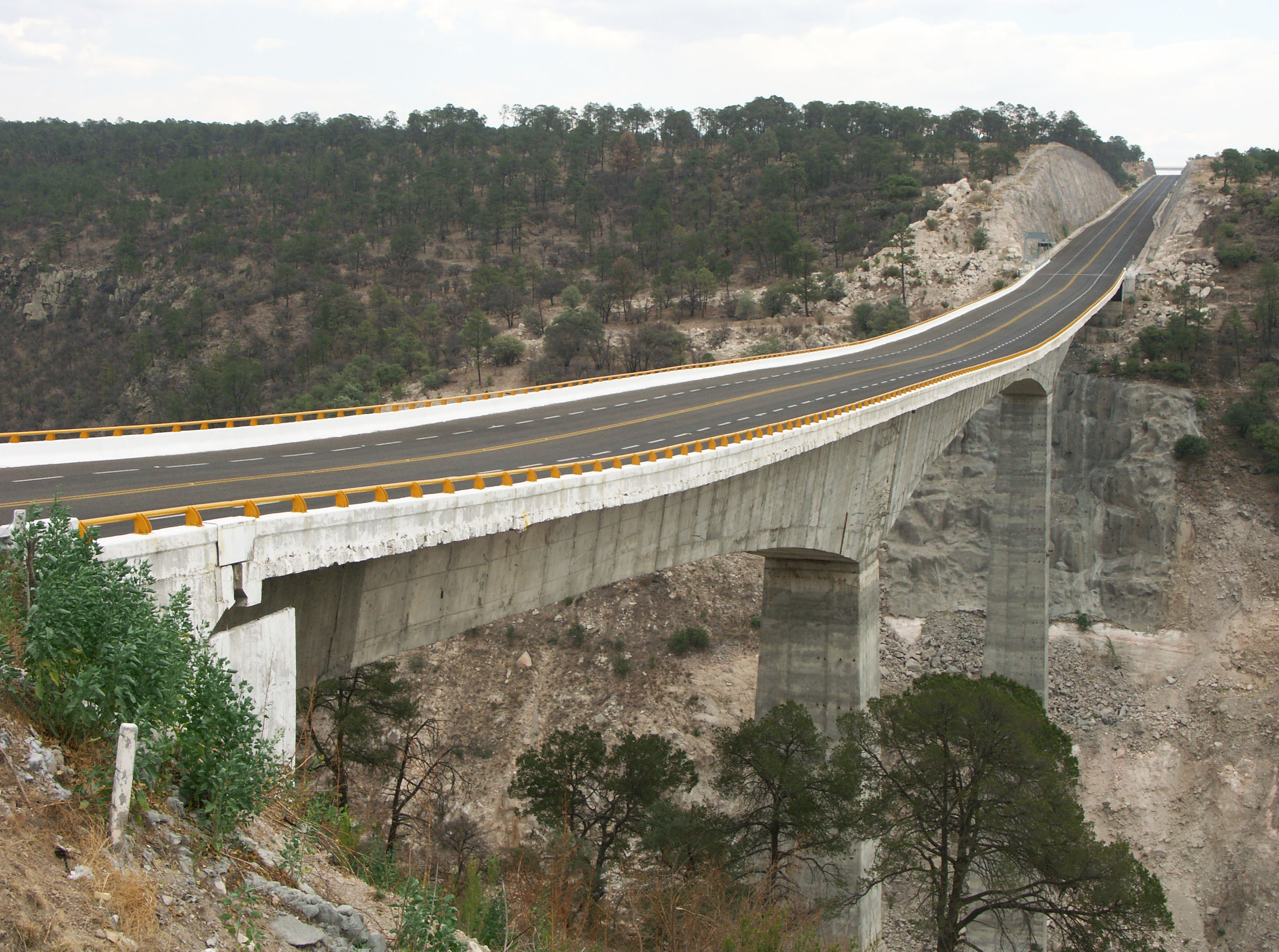
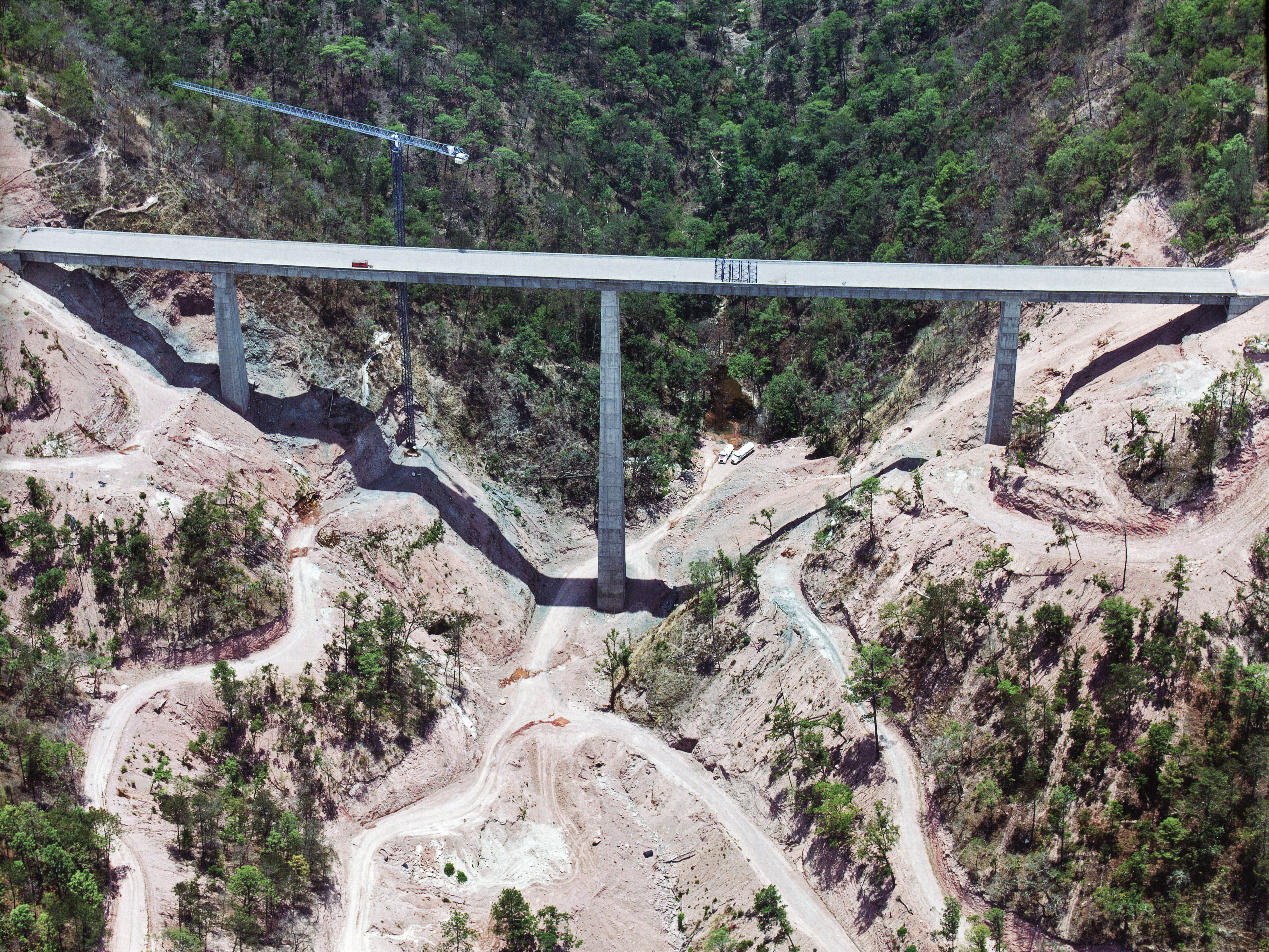
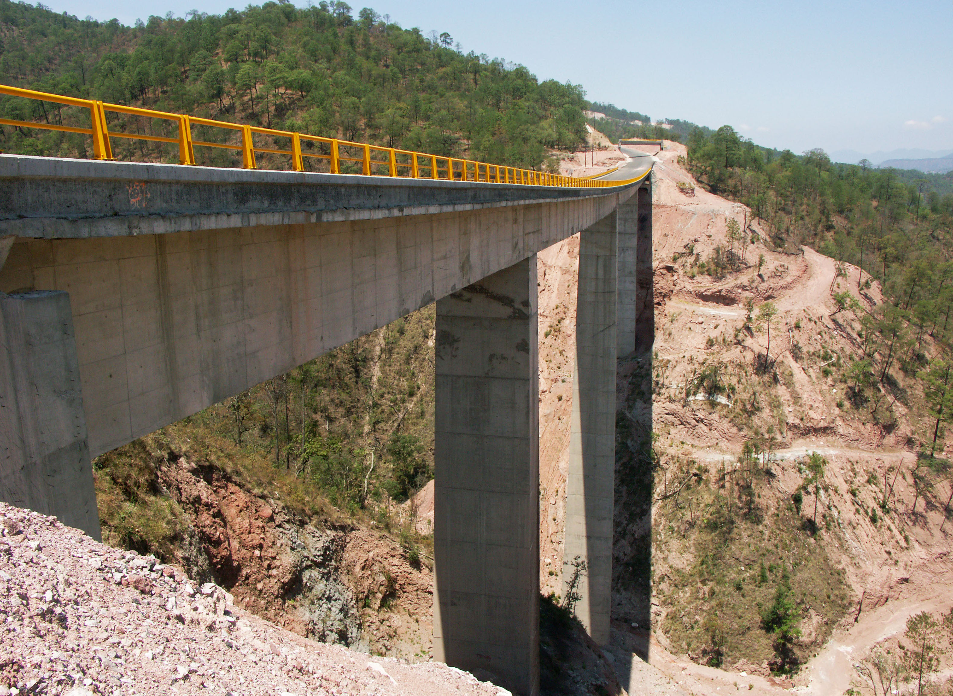
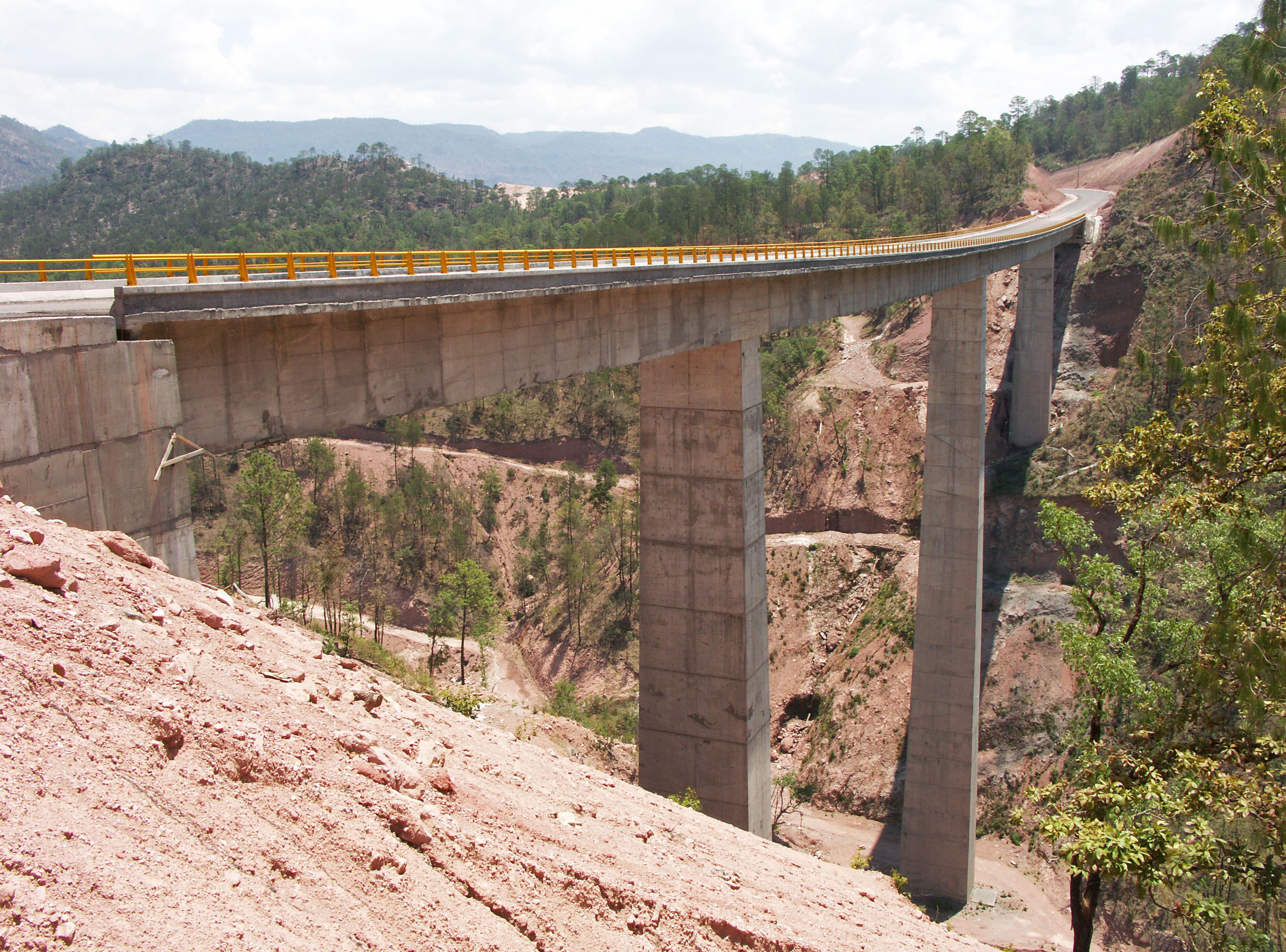
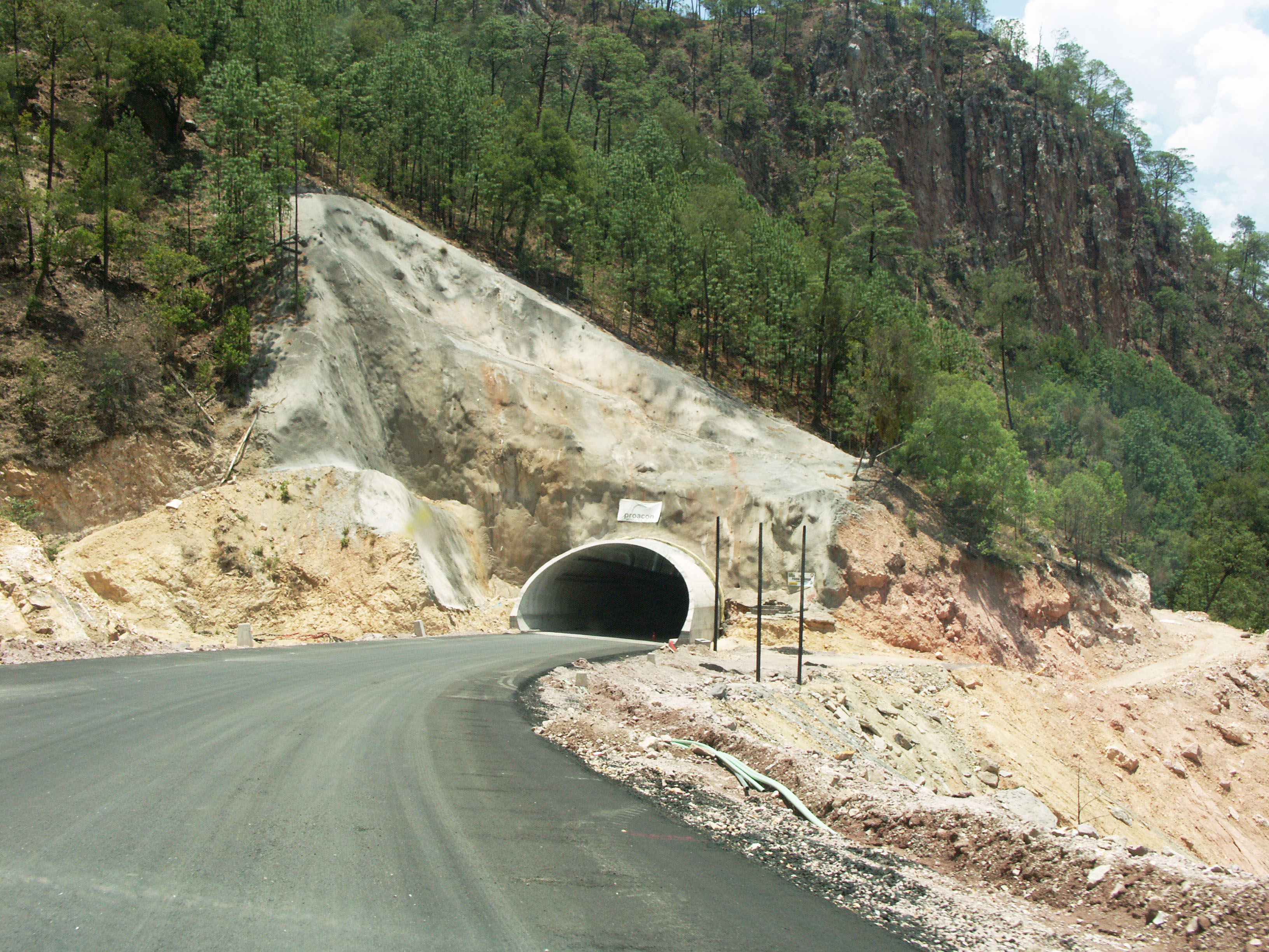
The vast majority of the 69 bridges are Nebraska-type concrete girder spans. The eight largest beam bridges are double cantilever while the 2 longest and highest crossings are cable stayed. The 230 kilometer highway also has 61 tunnels including the 2.8 kilometer El Sinaloense tunnel.
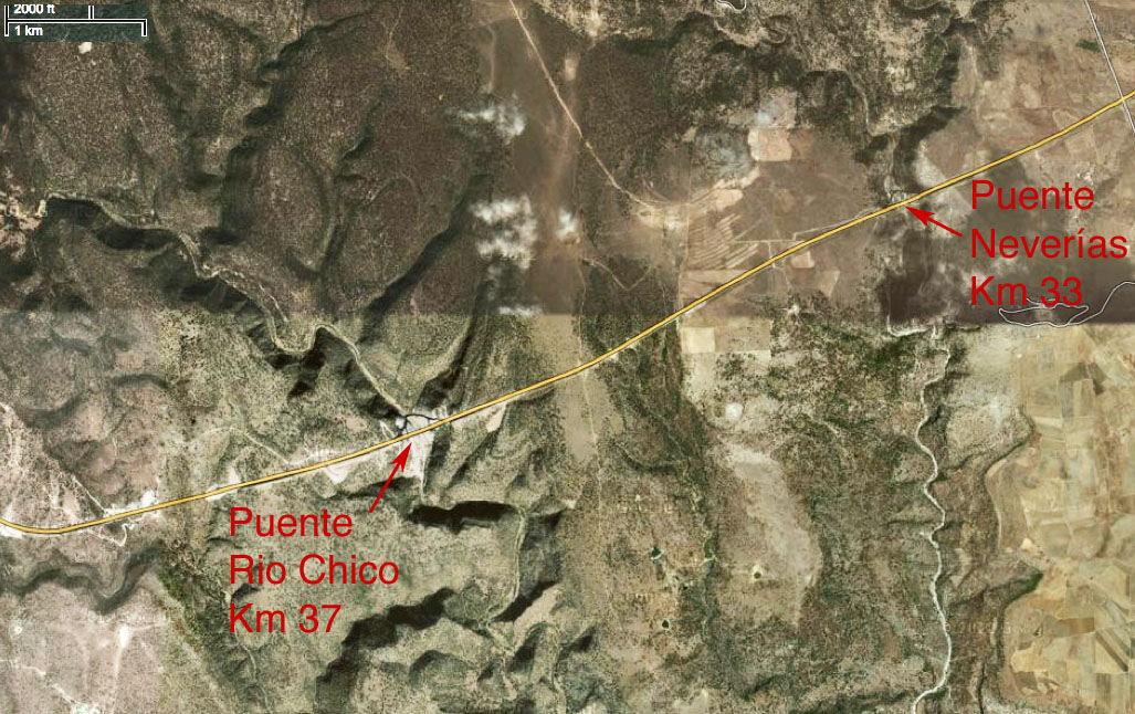
I decided to briefly show some of the bridges from kilometer 1 near Durango to kilometer 91 near El Salto even though this section has been open since 2008. The stretch between Las Adjuntas at kilometer 111 to Panuco at kilometer 186 is where all the new construction has been underway.
Image by SCT
Image by SCT
Image by SCT
Image by SCT
Image by SCT
Image by SCT
Image by SCT
Image by SCT
Image by SCT
Image by SCT
Image by SCT
Image by SCT
Image by SCT
Image by SCT
Image by SCT
Image by SCT
Image by SCT
Image by SCT
Image by SCT
Image by SCT
Image by SCT
Image by SCT
Image by SCT
Image by SCT
Image by SCT
Image by SCT
Image by SCT
Image by SCT
Image by SCT
Image by SCT
Image by SCT
Image by SCT
Image by SCT
Image by SCT
Image by SCT
Image by SCT
Image by SCT
Image by SCT
Image by SCT
Image by SCT
Image by SCT
Image by SCT
Image by SCT
Image by SCT
Image by SCT
Image by SCT
Image by SCT
Image by SCT
Image by SCT
Image by SCT
Image by SCT
Image by SCT
Image by SCT
Image by SCT
Image by SCT
Image by SCT
Image by SCT
Image by SCT
Image by SCT
Image by SCT
Image by SCT
Image by SCT
Image by SCT
Image by SCT
Image by SCT
Image by SCT
Image by SCT
Image by SCT
Image by SCT
Image by SCT
Image by SCT
Image by SCT
Image by SCT
Image by SCT
Image by SCT
Image by SCT
Image by SCT
Image by SCT
Image by SCT
Image by SCT
Image by SCT
Image by SCT
Image by SCT
Image by SCT
Image by SCT
Image by SCT
Image by SCT
Image by SCT
Image by SCT
Image by SCT
Image by SCT
Image by SCT
