Difference between revisions of "Daduhe Changheba Dam Bridge"
| Line 33: | Line 33: | ||
| − | [[File:ChanghebaDam长河坝大坝.jpg| | + | [[File:ChanghebaDam长河坝大坝.jpg|900px|center]] |
Changheba Dam Drawing. | Changheba Dam Drawing. | ||
Revision as of 04:10, 9 January 2014
Daduhe Changheba Dam Bridge
大渡河特大桥
Estuary, Sichuan, China
689 feet high / 210 meters high
689 foot span / 210 meter span
2014
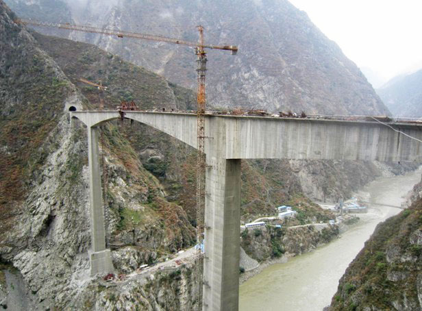
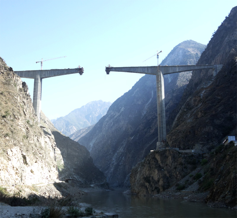
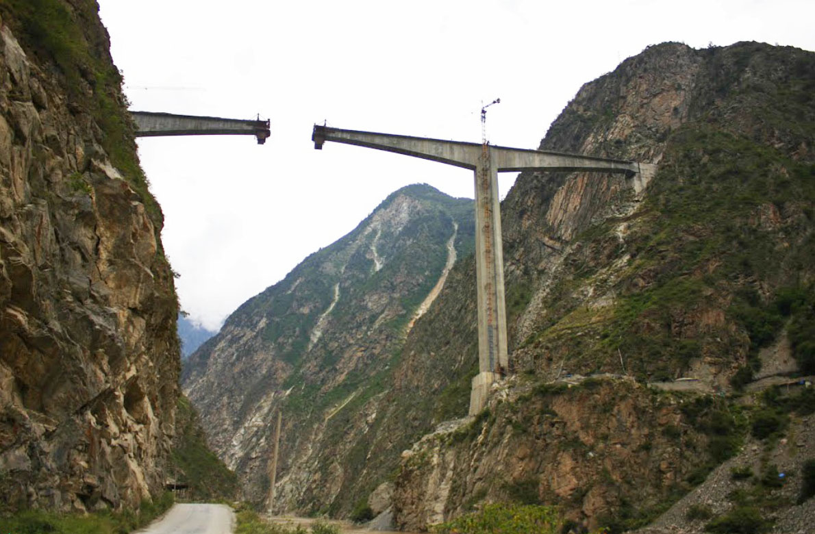
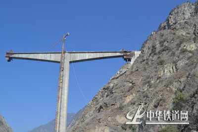
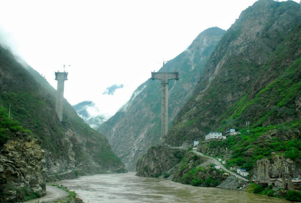
Mostly submerged under the deep reservoir formed by the giant Changheba Dam, the Daduhe River beam bridge spent several years 210 meters above the old river level before the rock-fill embankment dam was completed in 2016. Resting on piers 116 and 87 meters tall, the 411.5 meter long structure has a 3-span configuration of 93.5 +210 +93.5 meters.
The normal reservoir level is 1690 meters making the water 185 meters deep at the crossing. The bridge allows national road S211 to connect with local country road 001 that extends east more then 50 kilometers into the mountains.
Daduhe Changheba Dam Bridge Elevation
The uniqe 8-sided piers can be seen in the above view. The octagon shape is more resistant to earthquake movements then a conventional square shaped pier.
Changheba Dam Drawing.
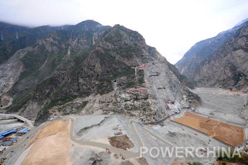
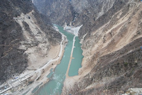
Early construction view of the Changheba Dam site on the Daduhe River.
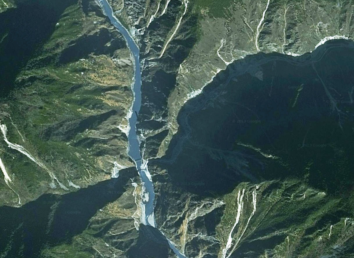
Daduhe Changheba Dam Bridge satellite image. A shadow of the east bridge pier can be seen on the Daduhe River in the center of the image.
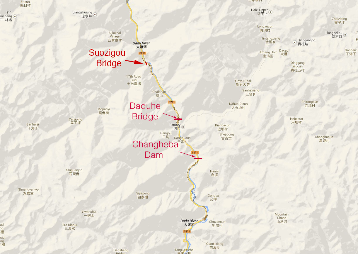
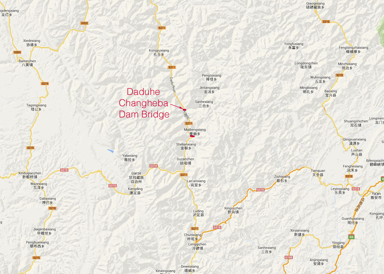
Daduhe Changheba Dam Bridge location map.
Daduhe Changheba Dam Bridge location map.
