Difference between revisions of "File:MalianheLocationMap.jpg"
From HighestBridges.com
Jump to navigationJump to search (Malianhe Bridge location map.) |
(uploaded a new version of "File:MalianheLocationMap.jpg": Malianhe Location Map.) |
(No difference)
| |
Latest revision as of 21:04, 6 May 2019
Malianhe Bridge location map.
File history
Click on a date/time to view the file as it appeared at that time.
| Date/Time | Thumbnail | Dimensions | User | Comment | |
|---|---|---|---|---|---|
| current | 21:04, 6 May 2019 | 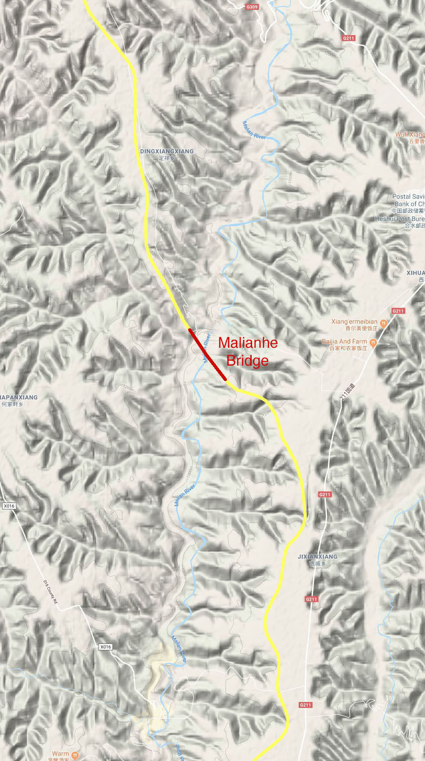 | 858 × 1,534 (246 KB) | Sakowski (talk | contribs) | Malianhe Location Map. |
| 06:41, 5 April 2019 | 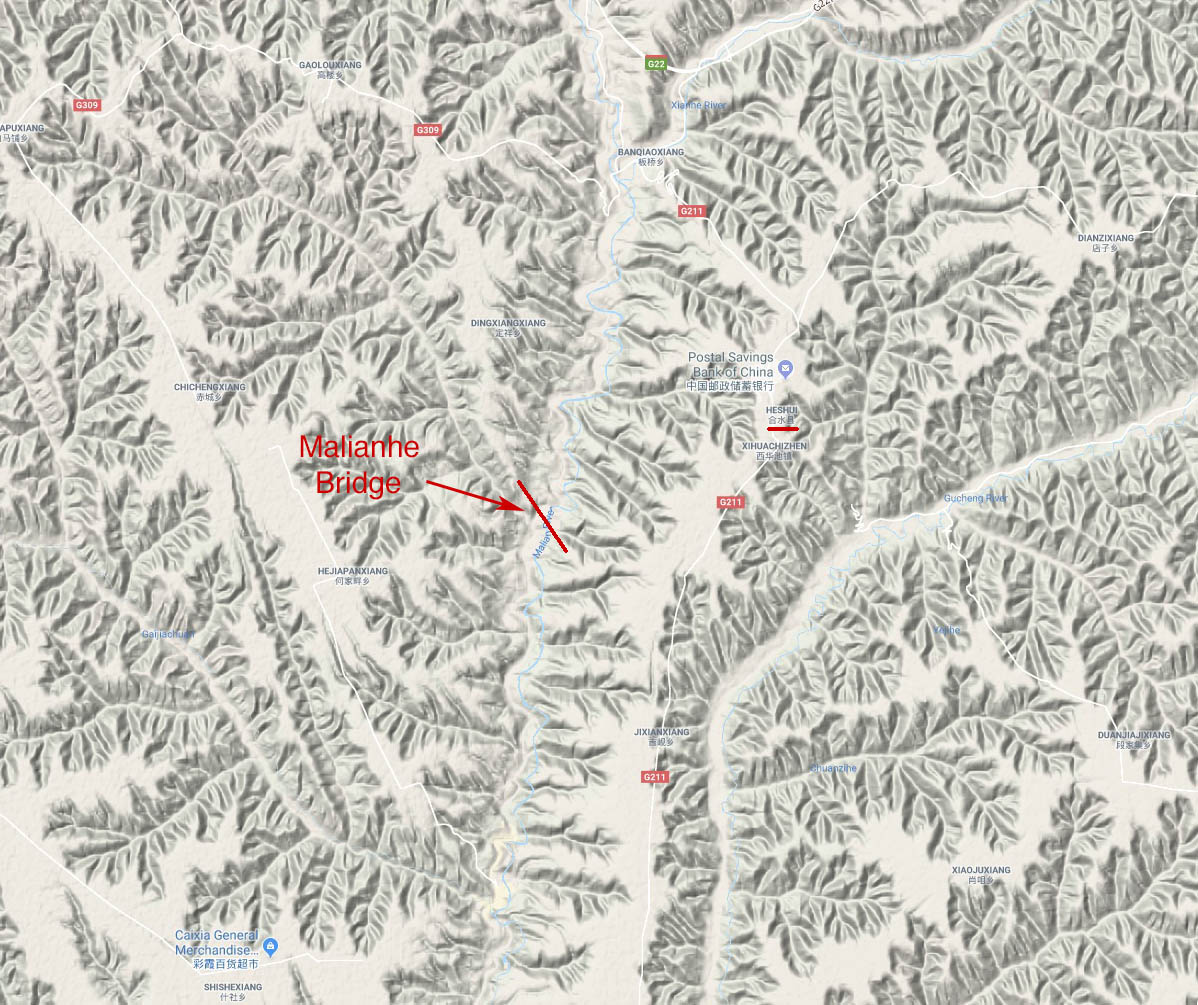 | 1,198 × 1,005 (278 KB) | Sakowski (talk | contribs) | Malianhe Bridge location map. |
You cannot overwrite this file.
File usage
The following page uses this file: